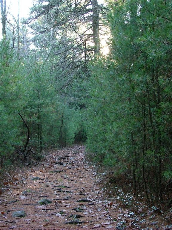
Appalachian Trail: PA 233 to Shippensburg Road

Shelters: Rocky Mountain Shelters; sleeps 8. Quarry Gap Shelters; sleeps 8. Birch Run Shelter; sleeps 8.

Trail Facts
- Distance: 24.9
Waypoints
WPT042
Location: 39.9347152709961, -77.4880142211914
stream
WPT002
Location: 39.9285011291504, -77.4832305908203
Gate
WPT026
Location: 39.9775505065918, -77.4384307861328
Orange blaze Rocky Knob Trail
WPT025
Location: 39.8494491577148, -77.5086441040039
PA 233
WPT021
Location: 39.997615814209, -77.4054183959961
Shippensburg Road; Big Flat; parking
WPT025
Location: 39.9831161499023, -77.4292831420898
Fegley Road, powerline
WPT024
Location: 39.985466003418, -77.4193420410156
Birch Run Shelter
WPT011
Location: 39.907341003418, -77.4840545654297
AT turns W; yellow blaze and white blaze on same trail
WPT005
Location: 39.9226989746094, -77.4846801757812
Off Locust Gap Trail
WPT041
Location: 39.9391326904297, -77.4833984375
Hosack Run Trail
WPT034
Location: 39.9748992919922, -77.4679489135742
AT, Middle Ridge Road
WPT023
Location: 39.8520011901856, -77.5111694335938
Pipeline
WPT010
Location: 39.9079170227051, -77.4836196899414
AT turns W @ jct. with Raccoon Run Trail & Yellow Blazed Ramble Trail
WPT012
Location: 39.9071235656738, -77.4892501831055
AT turns E; footbridge
WPT035
Location: 39.9730491638184, -77.4712142944336
Trail
WPT030
Location: 39.9745330810547, -77.4507141113281
AT turns west
WPT022
Location: 39.8529815673828, -77.5106658935547
Water tanks to E
WPT031
Location: 39.9769515991211, -77.4519195556641
Milesburn Road, cabin may be locked
WPT024
Location: 39.8509330749512, -77.5110321044922
Gravel rd.
WPT033
Location: 39.975700378418, -77.4665985107422
Hill Road
WPT006
Location: 39.9154167175293, -77.4877700805664
Blue blazed Three Valley Trail
WPT015
Location: 39.9046669006348, -77.4896011352539
Pipeline
WPT017
Location: 39.8881149291992, -77.4942169189453
AT turns W; rocky scramble
WPT021
Location: 39.8693504333496, -77.5018692016602
Trail to Rocky Mountain Shelter; .3 mi.
WPT003
Location: 39.9243850708008, -77.4830322265625
Locust Gap trail
WPT036
Location: 39.960334777832, -77.4820022583008
Methodist Hill jeep road
WPT032
Location: 39.9762649536133, -77.4589996337891
Several road intersects
WPT027
Location: 39.9751167297363, -77.441032409668
trail
WPT009
Location: 39.9089012145996, -77.4845962524414
AT turns W
WPT040
Location: 39.9459495544434, -77.4903030395508
AT turns east
WPT013
Location: 39.9065818786621, -77.4894027709961
Pipeline; telephone line
WPT038
Location: 39.9549827575684, -77.4813537597656
Powerline
WPT008
Location: 39.9094009399414, -77.485466003418
Caladonia Picnic; parking
WPT020
Location: 39.870418548584, -77.5012817382812
AT continues E along ridgeline
WPT007
Location: 39.9103012084961, -77.4867477416992
Gravel rd.
WPT043
Location: 39.9315986633301, -77.4862518310547
Quarry Gap Shelter
WPT029
Location: 39.9738655090332, -77.449333190918
Ridge road
DSCF1474
Location: 39.974365234375, -77.4420852661133