Appalachian Trail: NY 17A to NY 17

Shelters: Wildcat Shelter; sleeps 8.

Trail Facts
- Distance: 17.8
Waypoints
WPT020
Location: 41.2702484, -74.2120667
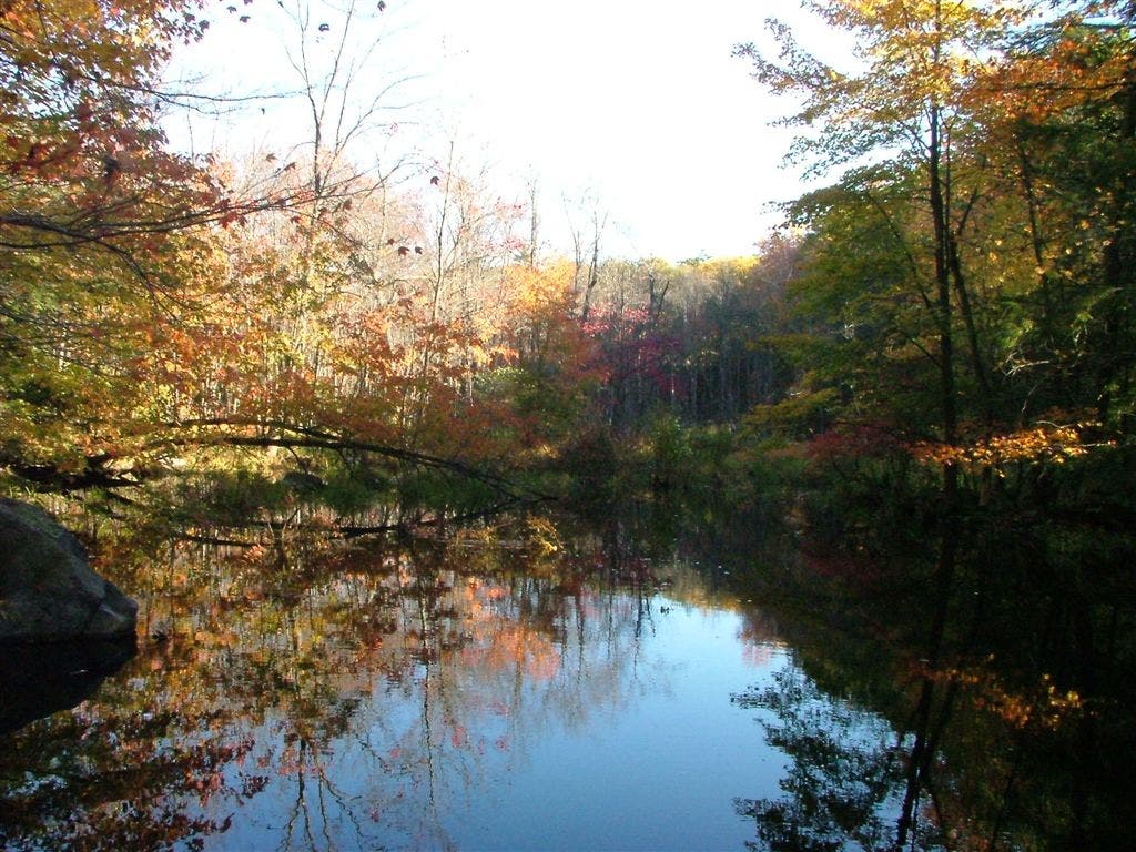
Small stream from Kloibers Pond
WPT027
Location: 41.269001, -74.2446671
Small stream parallels trail; rock fences; abondoned settlement
WPT032
Location: 41.2726326, -74.2527161
Campsite (only in designated areas)
WPT011
Location: 41.2653656, -74.1969681
Views
WPT026
Location: 41.2692833, -74.2340164
Blue-blazed Highlands Trail (register box)
WPT044
Location: 41.2588997, -74.2737503
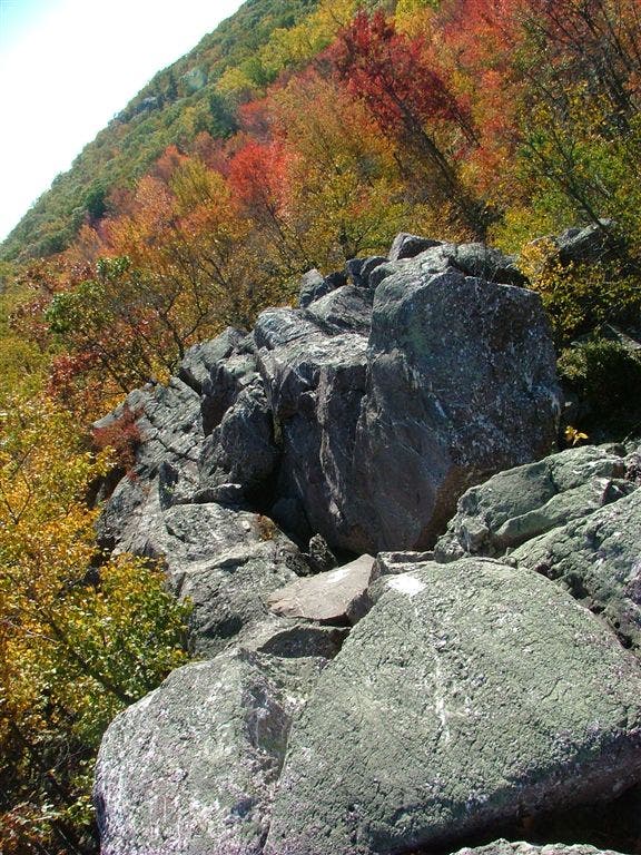
Eastern Pinnacles, a rocky outcropping with views; blue-blazes lead around rocks
ZZZ048
Location: 41.2440948, -74.2865219
Turn R @ Continental Rd. and then cross NY 17A. Ice cream .1 mi. to the W; water available. Blue blazes lead 50 ft. N of 17A to hawkwatch and viewpoint
WPT010
Location: 41.2661819, -74.1938477
East Mombasha Road
WPT019
Location: 41.2693176, -74.2078476
Tiny stream near 15-foot-tall rock shelf
WPT002
Location: 41.2720184, -74.1649857
Blue-blazed Sapphire Trail
WPT034
Location: 41.2736816, -74.2542496
Lakes Road
WPT006
Location: 41.2700653, -74.1812668
Leave Orange Turnpike as AT turns E
WPT035
Location: 41.2776337, -74.2615967
Highlands Trail turns W, AT east
WPT041
Location: 41.2638321, -74.27005
Views from Cat Rocks. Blue blaze around during inclement weather
WPT009
Location: 41.2637482, -74.1922531
Cross bridge over inlet stream to Little Dam Lake
WPT022
Location: 41.2700996, -74.2146988
West Mombasha Rd.
WPT031
Location: 41.2709999, -74.2514648
AT turns W across stream
WPT036
Location: 41.2673492, -74.2674179
Trail to shelter
ZZZ001
Location: 41.2671509, -74.1590195
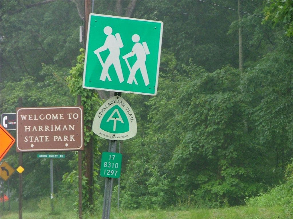
NY 17 and Arden Rd. intersection
WPT028
Location: 41.2691154, -74.2497025
Gravel road; stream
WPT005
Location: 41.271534, -74.1801682
Valley views to the W
WPT038
Location: 41.2682838, -74.2678833
Wildcat Shelter
WPT046
Location: 41.2530823, -74.2804184
Gas pipe
DSCF0375
Location: 41.2701836, -74.2141037
DSCF0384
Location: 41.2709351, -74.2512131
DSCF0408
Location: 41.2719841, -74.2521667
DSCF0417
Location: 41.2724152, -74.2529144
DSCF0424
Location: 41.2634506, -74.2702026
DSCF0369
Location: 41.2637329, -74.1922302
DSCF0371
Location: 41.2651329, -74.1979523
DSCF5804
Location: 41.2671509, -74.1590195