Appalachian Trail: NY 17 to Palisades Parkway

Shelters: Fingerboard Shelter; sleeps 8. William Brien Memorial Shelter; sleeps 8.

Trail Facts
- Distance: 17.8
Waypoints
WPT017
Location: 41.2755165100098, -74.0677032470703
Regain Ramapo-Dunderberg Trail
WPT017
Location: 41.2874946594238, -74.0744400024414
Seven Lakes Drive
WPT002
Location: 41.2631416320801, -74.1500625610352
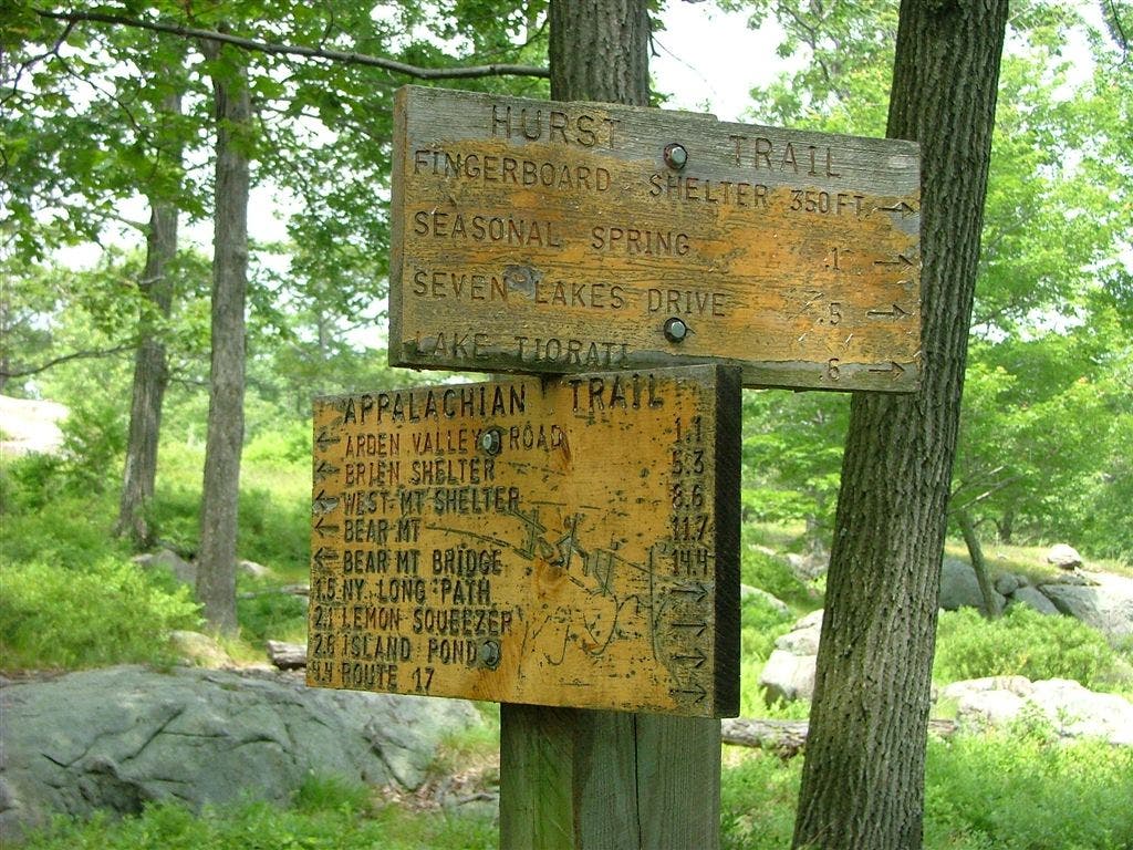
AT turns W uphill at intersection with Arden-Surebridge Trail (marked by red triangle on white blazes). Sign at this trail jct. lists the mileages of major points to the other side of Harriman SP at the Hudson River
WPT011
Location: 41.2750663757324, -74.0941696166992
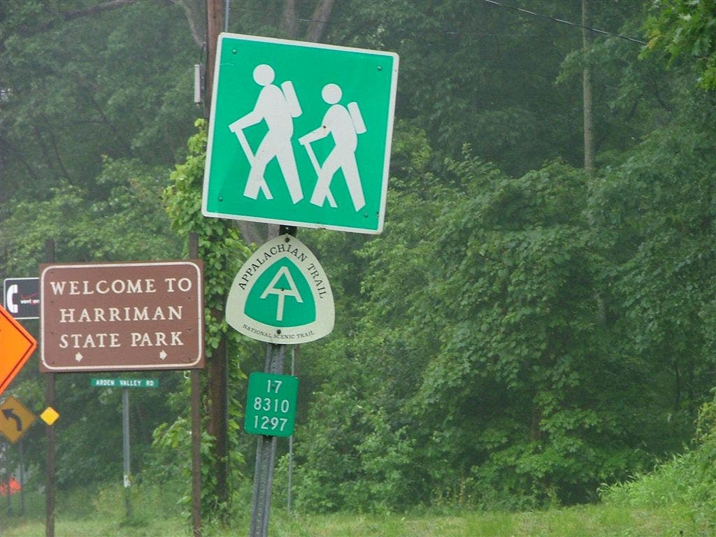
Cross paved Arden Valley Rd. Sidetrack on Arden Valley Rd E 0.3 mi. to popular picnicing area at Lake Tiorati for swim, shower, water fountain and ice cream.
ZZZ022
Location: 41.2825164794922, -74.029167175293
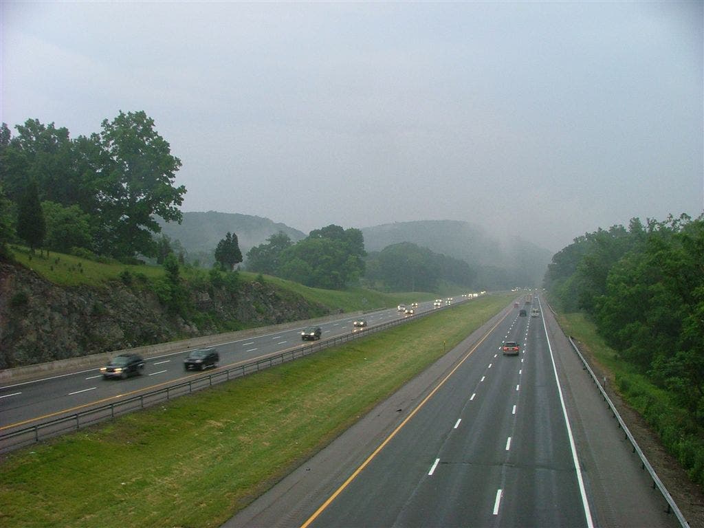
Practice your Frogger skills crossing Palisades Parkway stopping to reflect on your life in the often humorous register located midway
WPT004
Location: 41.2610816955566, -74.1390838623047
Island Pond Outlet
WPT021
Location: 41.2829322814941, -74.0323333740234
Cross Trail 1779
WPT008
Location: 41.2648658752441, -74.1132659912109
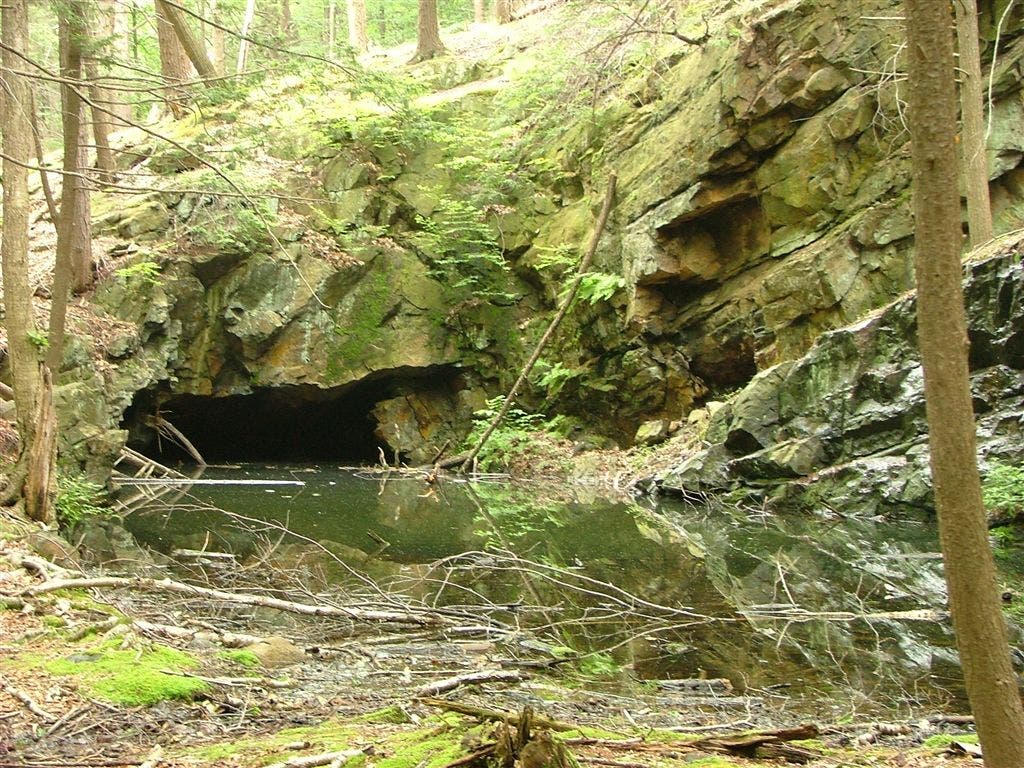
Greenwood Mine. Old mines, often water filled, can be seen in Harriman SP
WPT020
Location: 41.2838172912598, -74.0401000976562
First view of the Hudson River from the S
WPT006
Location: 41.2583351135254, -74.1329803466797
The S entrance to the famous Lemon Squeezer. Take a virtual tour of the skinny section of the Lemon Squeezer, aptly named for its tight quarters causing those with large packs to struggle
WPT019
Location: 41.2857818603516, -74.0464477539062
Unmarked old road
WPT018
Location: 41.2796669006348, -74.0593338012695
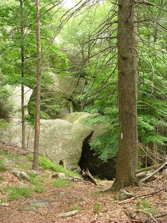
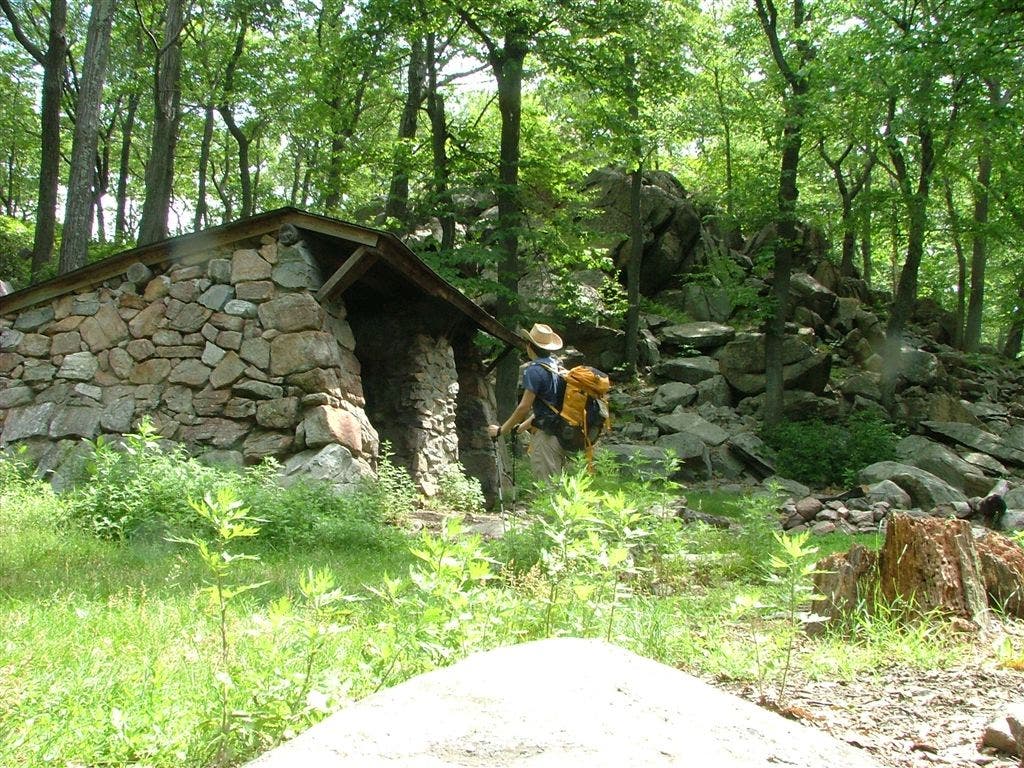
The William Brian Memorial Shelter: Shelter is built next to a large boulder pile with natural rock serving as the rear wall
WPT010
Location: 41.2698860168457, -74.0984191894531
Summit of Fingerboard Mtn. (1,328 ft.)
WPT015
Location: 41.2856483459473, -74.0845031738281
Trail turns W on rocky outcrop with view to the SE.
WPT016
Location: 41.288631439209, -74.0756988525391
Water. From S, cross bridge then turn R to get to AT
ZZZ001
Location: 41.2671508789062, -74.1590194702148
NY 17 and Arden Rd. intersection
WPT010
Location: 41.2630157470703, -74.1043319702148
Fingerboard Shelter
WPT007
Location: 41.263484954834, -74.1246795654297
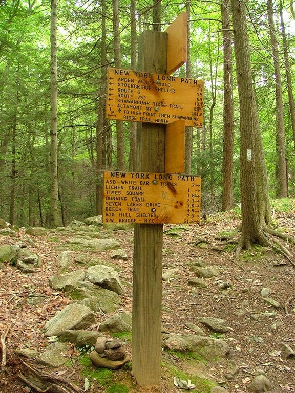
AT intersects with the aqua-blazed Long Path
DSCF5832
Location: 41.2648658752441, -74.1132659912109
DSCF5826
Location: 41.2583312988281, -74.1329803466797
DSCF5830
Location: 41.2634811401367, -74.1246795654297
DSCF5838
Location: 41.2630157470703, -74.1043319702148
DSCF5849
Location: 41.2739562988281, -74.0949020385742
DSCF5857
Location: 41.2856483459473, -74.0844955444336
DSCF5868
Location: 41.2796669006348, -74.0593338012695
DSCF5876
Location: 41.2838172912598, -74.0401000976562
DSCF5889
Location: 41.2824592590332, -74.0286254882812
DSCF5804
Location: 41.2671508789062, -74.1590194702148
DSCF5809
Location: 41.2661933898926, -74.1560516357422
DSCF5810
Location: 41.2660140991211, -74.1552429199219