Appalachian Trail: NH 112 to Flume Visitor Center

Shelters: Eliza Brook Shelter; sleeps 8. Kinsman Pond Campsite; sleeps 14.


Trail Facts
- Distance: 25.4
Waypoints
WPT024
Location: 44.1383361816406, -71.7030258178711
Lonesome Lake Hut; swimming
WPT012
Location: 44.1380500793457, -71.7331466674805
AT follws Fishin Jimmy Trail
WPT003
Location: 44.1066665649414, -71.7407302856445
4-ft. deep pool
WPT005
Location: 44.1137351989746, -71.7445678710938
Harrington Pond & views of the South Kinsman Mtn.
WPT006
Location: 44.0431671142578, -71.7838973999024
Dilly Cliff Trail to the Lost River Gorge
WPT002
Location: 44.1046180725098, -71.7414016723633
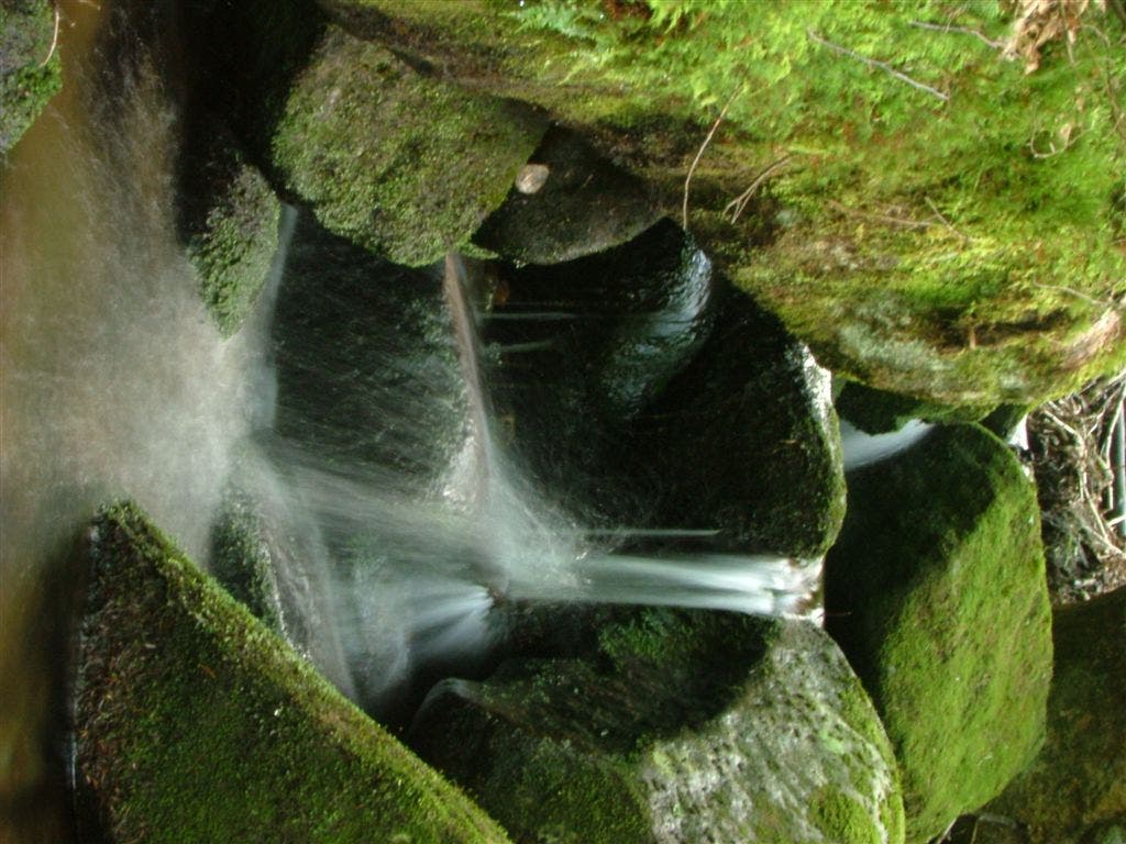
Waterfalls & small pools as AT follows Eliza Brook
WPT010
Location: 44.0759315490723, -71.7508697509766
AT turns W with the Kinsman Ridge Trail @ jct. with short trail trail to Mt. Wolf summit
WPT012
Location: 44.0956344604492, -71.7554016113281
Reel Brook Trail
WPT013
Location: 44.1370506286621, -71.7324523925781
Kinsman Pond campsite; shelter
WPT005
Location: 44.0407180786133, -71.7920532226562
Lost River Road; NH 112; Kinsman Notch; hike S down road to snack shack
WPT014
Location: 44.1005363464356, -71.7423095703125
Trail to shelter
WPT009
Location: 44.0763664245606, -71.7545318603516
View to SSE of Mt. Wolf
WPT008
Location: 44.0669288635254, -71.7606201171875
Gordon Pond Trail
WPT009
Location: 44.1334991455078, -71.7365188598633
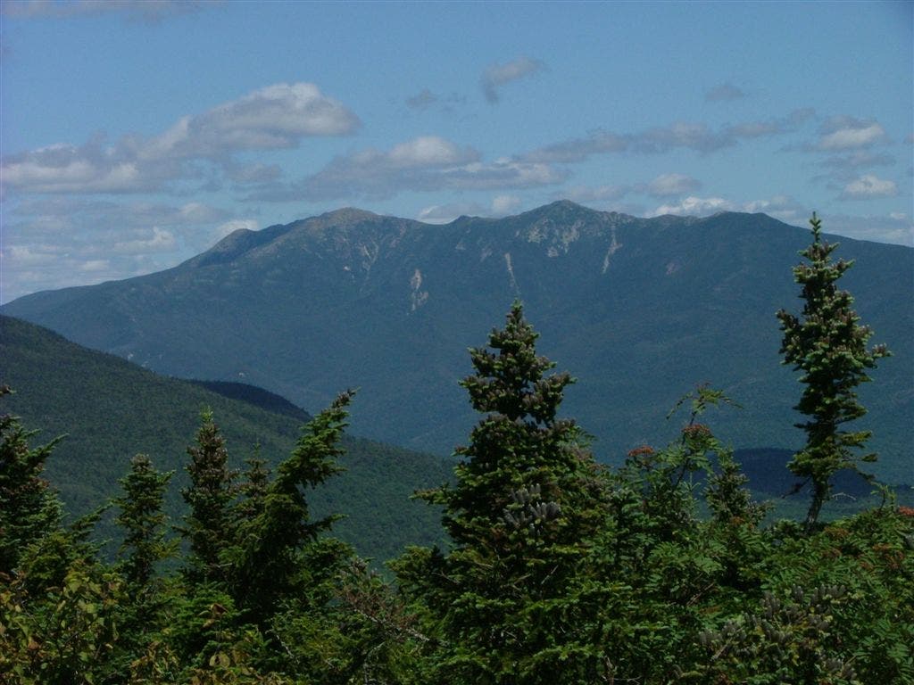
Established view of the Franconia Ridge
WPT008
Location: 44.1231231689453, -71.7367324829102
South Kinsman Mtn. (4,358 ft.)
WPT004
Location: 44.112434387207, -71.740348815918
AT turns W across Eliza Brook
WPT004
Location: 44.0401649475098, -71.7929534912109
Parking
WPT001
Location: 44.1008834838867, -71.7421340942383
Eliza Brook Shelter
WPT011
Location: 44.1374168395996, -71.734733581543
Mt. Kinsman Trail
WPT006
Location: 44.1181983947754, -71.7418670654297
Begin a very steep rock climb/scramble
WPT011
Location: 44.0758819580078, -71.7502822875976
Mt. Wolf Summit (3,478 ft.)
WPT007
Location: 44.1212997436523, -71.7406997680664
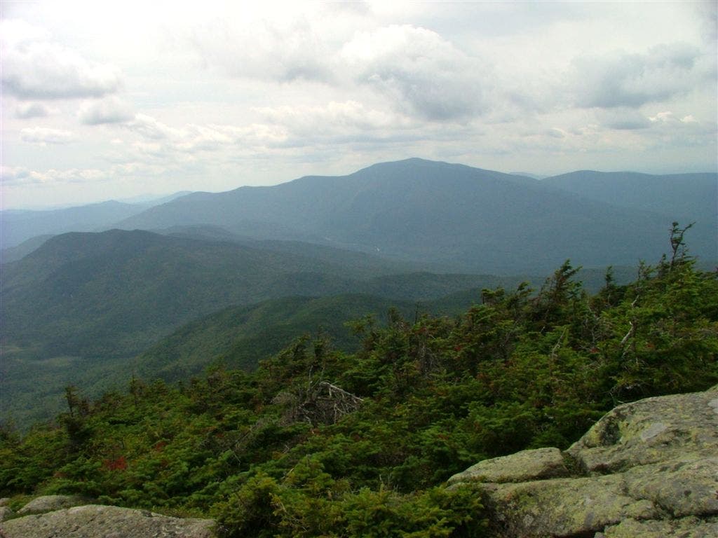
Views of Mt Wolf, Mt. Moosilauke and the North Kinsman can be seen to the E
WPT007
Location: 44.0457000732422, -71.7811813354492
View to E of valley
WPT013
Location: 44.0989837646484, -71.7509002685547
AT turns E into the forest just past powerline
WPT010
Location: 44.1335182189941, -71.73681640625
North Kinsman Mtn. (4293 ft.)
WPT009
Location: 44.110466003418, -71.6821517944336
AT goes under I-93 along river
WPT010
Location: 44.1099014282227, -71.6817169189453
AT turns W on Whitehouse Trail (paved bikepath); Track Leaves AT @ Whitehouse Trail following the Whitehouse Trail E to the Flume Visitor Center
WPT011
Location: 44.0970840454102, -71.6804351806641
The Flume Gorge Visitor Center:
Discovered in 1808, the Flume is a natural gorge extending 800 feet at the base of Mt. Liberty. The walls of Conway granite rise perpendicularly to a height of 70 to 90 feet and are from 12 to 20 feet apart. Bus service is provided to transport visitors to within 500 yards of the gorge entrance. Marked walking trails with signs explaining natural features lead to other points of interest, including the Pool and Sentinel Pine Bridge.
The contemporary visitor center, framed by a spectacular vista of Mts. Liberty and Flume, houses the Flume ticket office, an information center, cafeteria, gift shop, the state park system’s historic Concord Coach, and a small auditorium where notch video programs are shown on a regular basis
WPT007
Location: 44.1122169494629, -71.6839370727539
Pemi Trail
WPT004
Location: 44.1258163452148, -71.6958312988281
Cross Cascade Brook
WPT005
Location: 44.1257820129394, -71.6957321166992
Cascade Brook Trail
WPT002
Location: 44.1384010314941, -71.70263671875
Lonesome Lake & views of Franc Ridge
WPT003
Location: 44.1288833618164, -71.7037811279297
Kinsman Pond Trail
WPT006
Location: 44.1139831542969, -71.6847152709961
Whitehouse Brook
DSCF7830
Location: 44.1371459960938, -71.7328567504883
DSCF7689
Location: 44.0759315490723, -71.7503814697266
DSCF7847
Location: 44.1385955810547, -71.7024688720703
DSCF7722
Location: 44.1059341430664, -71.7405853271484
DSCF7748
Location: 44.1218338012695, -71.7397994995117
DSCF7781
Location: 44.1304016113281, -71.7366027832031