Appalachian Trail: Moxie Pond Road to Shirley-Blanchard Road

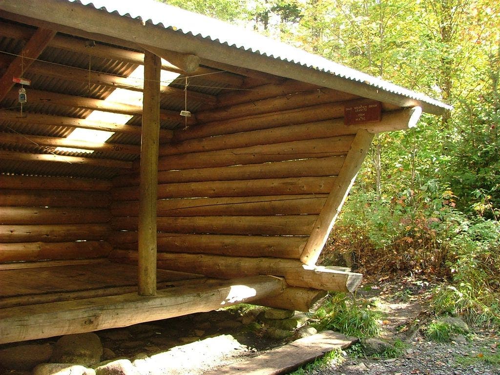
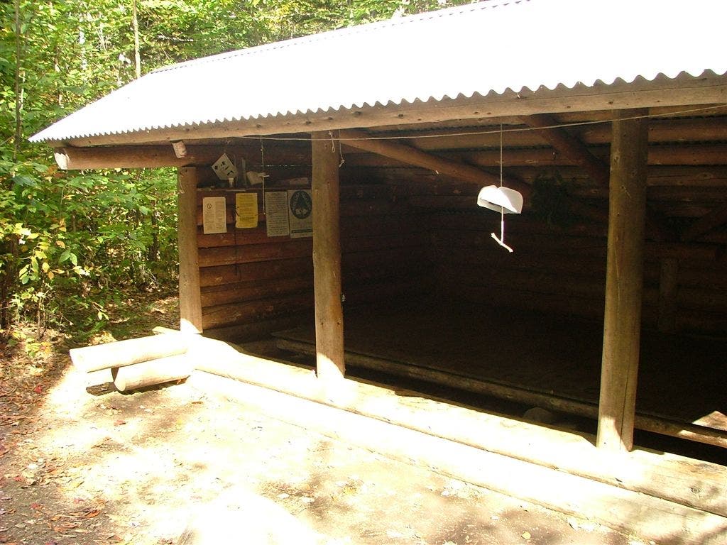
Shelters: Bald Mountain Brook Lean-to; sleeps 8. Moxie Lean-to; sleeps 6. Horseshoe Canyon Lean-to; sleeps 8.
TO TRAILHEAD: Start: From Bingham, ME, take US 201 north to ME 16. Turn right; take ME 16 east for 5.8 miles. Turn left on Dead Water/Indian Pond Rd.; go 11.5 miles to trail crossing on southern end of Moxie Pond.
End: From Monson, ME, take ME 6/15 south to Blanchard Rd. Bear right on Blanchard Rd.; go 4.5 miles to right turn in road. Drive 1.3 miles to trailhead.
Trail Facts
- Distance: 28.8
Waypoints
WPT001
Location: 45.2585487365723, -69.7995529174805
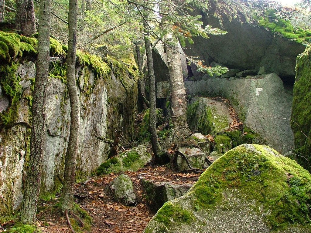
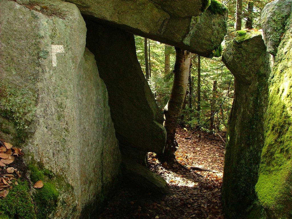
Bald Mountain Brook Lean-to. Deep Rock Cleft and falls located W of the shelter, 50 ft. down trail
WPT002
Location: 45.2820167541504, -69.6270141601562
Trail to Horseshoe Canyon Lean-to; See falls to the E
WPT012
Location: 45.2517318725586, -69.8300857543945
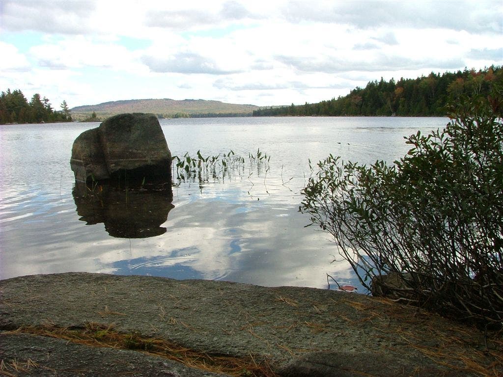
Powerline and Moxie Pond (aka Joes Hole)
WPT011
Location: 45.2523498535156, -69.8299179077148
AT turns E following Moxie Pond Rd.
WPT018
Location: 45.2646675109863, -69.7690811157226
AT turns E @ jct. with Summit Bypass Trail; trail to spring
WPT011
Location: 45.2630996704102, -69.7761306762695
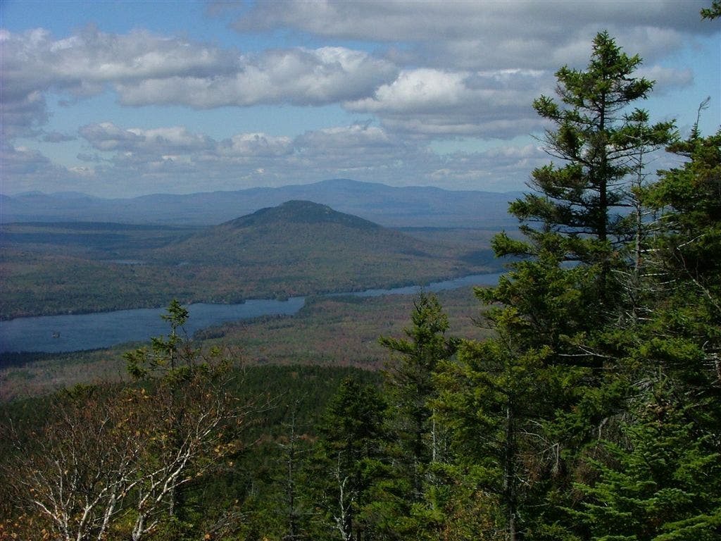
View to the W of Moxie Pond and Bigelows
WPT047
Location: 45.2823333740234, -69.6278991699219
Trail to Horseshoe Canyon Lean-to
WPT037
Location: 45.2762985229492, -69.6900863647461
Gravel road
WPT021
Location: 45.2709350585938, -69.7643814086914
Trail to Moxie Bald North Peak, .7 mi.
WPT018
Location: 45.2588348388672, -69.801383972168
Bald Mountain Brook; Tentsites of old logging camp
WPT005
Location: 45.2868347167969, -69.6252670288086
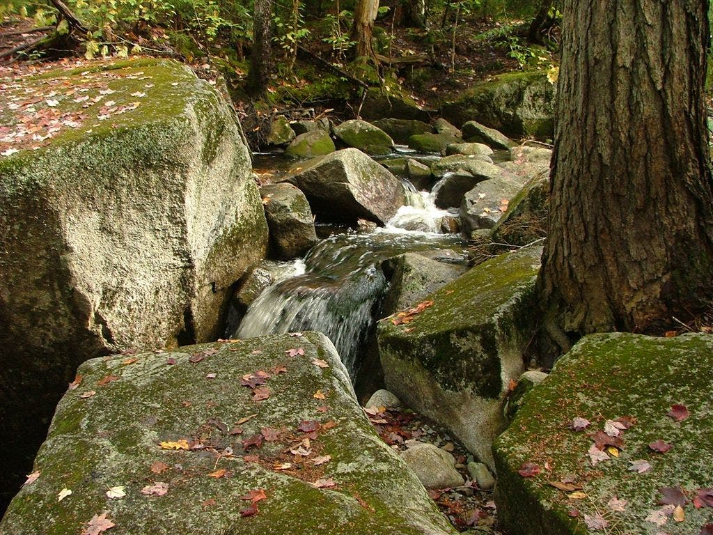
Stream
WPT016
Location: 45.2475814819336, -69.8268203735352
Powerline
WPT027
Location: 45.2711334228516, -69.7452697753906
Trail to Moxie Bald Lean-to
WPT013
Location: 45.2630348205566, -69.7757186889648
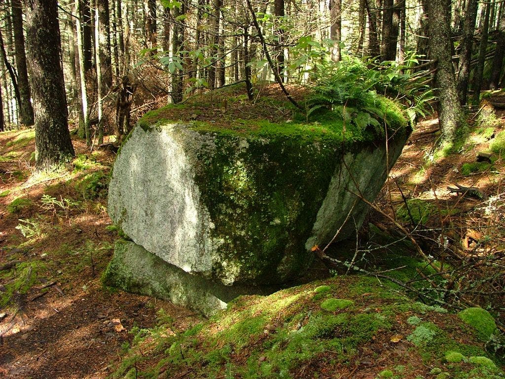
AT turns E around boulder, tricky
WPT007
Location: 45.2879829406738, -69.6121368408203
Stream
WPT048
Location: 45.2832489013672, -69.6287536621094
Horseshoe Canyon Lean-to
WPT014
Location: 45.249870300293, -69.8308639526367
AT turns W off road
WPT009
Location: 45.2647666931152, -69.7768478393555
Giant Rock Terraces West
WPT017
Location: 45.2557983398438, -69.8032836914062
Swamp
WPT025
Location: 45.270565032959, -69.746467590332
Trail to Moxie Bald Lean-to, Stream river rock
WPT008
Location: 45.266300201416, -69.7783203125
AT turns E at Y with Summit Bypass Trail
WPT008
Location: 45.2838516235352, -69.5917663574219
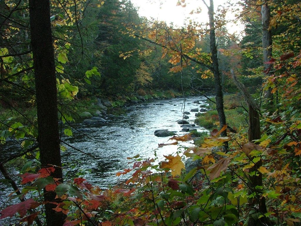
East Branch Piscaquis River; Trail along shore
WPT046
Location: 45.2779502868652, -69.644416809082
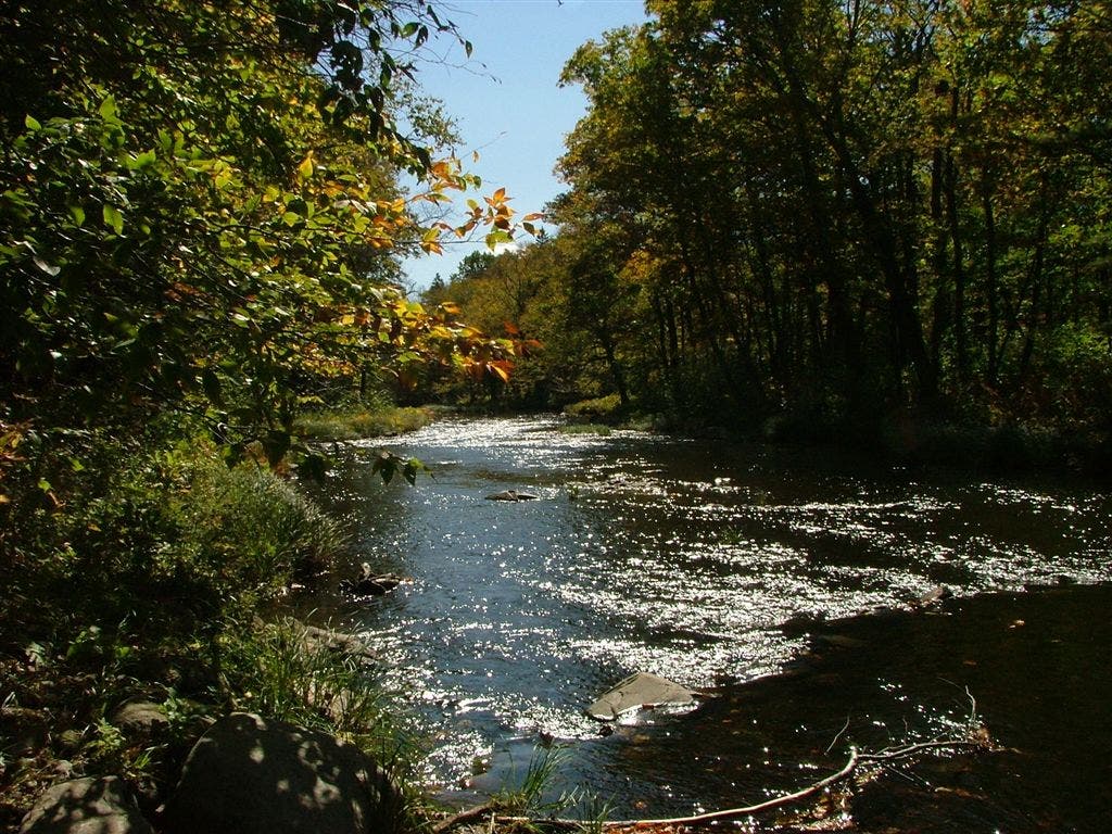
Stream; The AT on this section follows the West Branch Piscataquis River repeatedly going up and down the banks reaching a stream almost at every dip
WPT041
Location: 45.2755012512207, -69.6614685058594
West Branch Piscatiquis River: Ford river using the path on the small island to the left then reach the far shore continuing that line up the bank
WPT015
Location: 45.2638664245606, -69.7716827392578
Moxie Bald Mountain summit
WPT026
Location: 45.2706680297852, -69.7452011108398
Moxie Bald Lean-to
WPT034
Location: 45.2794990539551, -69.7217864990234
Tricky river crossing with guide overhead rope. After this river crossing, the AT follows along Bald Mountain Stream. Geological contact point nearby where adjacent rock ages are millions apart
WPT015
Location: 45.2497825622559, -69.8305358886719
Baker Stream
WPT020
Location: 45.2590179443359, -69.8009490966797
Trail to Bald Mtn Brook Lean-to
WPT001
Location: 45.2827491760254, -69.6275329589844
Horseshoe Canyon Lean-to
WPT044
Location: 45.2744178771973, -69.6484146118164
Scenic view of the W of Branch Piscataquis River
WPT035
Location: 45.2811317443848, -69.7220993041992
Old dam
ZZZ012
Location: 45.2856826782227, -69.5862655639648
Shirley-Blanchard Rd.
WPT011
Location: 45.2862319946289, -69.5883483886719
Gravel Road; AT turns E 50 feet
WPT040
Location: 45.2717018127441, -69.66455078125
Dirt road; stream
DSCF9525
Location: 45.2749824523926, -69.6503143310547
DSCF9419
Location: 45.2780685424805, -69.7028579711914
DSCF9408
Location: 45.2652015686035, -69.7867660522461
DSCF9458
Location: 45.2630500793457, -69.7754135131836
DSCF9421
Location: 45.263599395752, -69.7766494750976
DSCF9516
Location: 45.2706184387207, -69.7452697753906
DSCF9366
Location: 45.2585830688477, -69.7995834350586
DSCF9400
Location: 45.2610168457031, -69.7953033447266
DSCF9391
Location: 45.2585830688477, -69.7993698120117
DSCF9538
Location: 45.2827987670898, -69.6274795532226
DSCF9543
Location: 45.2840003967285, -69.5916366577148