Appalachian Trail: Max Patch Road to Hot Springs, NC

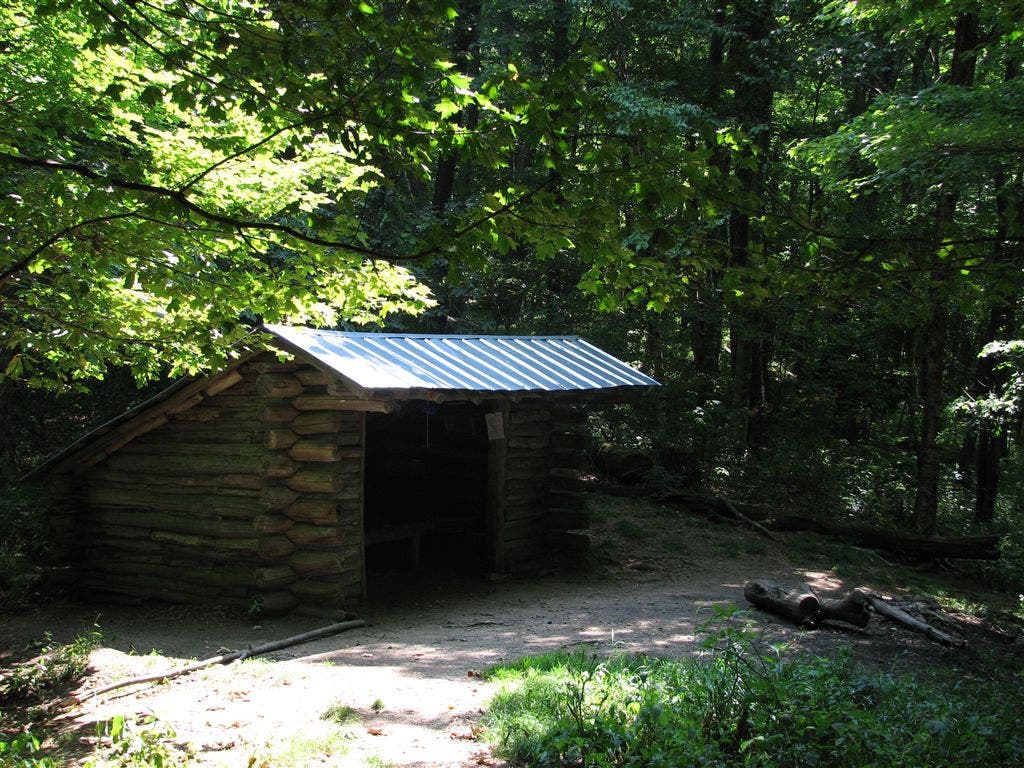
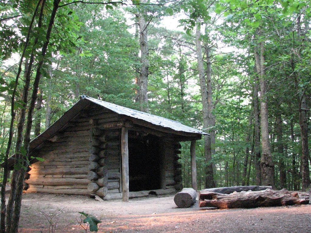
Shelters: Roaring Fork Shelter: sleeps 8; privy. Walter Mountain Shelter: sleeps 6; privy. Deer Park Mountain Shelter: sleeps 5; privy
Trail Facts
- Distance: 20.3
Waypoints
WPT068
Location: 35.8670654296875, -82.871696472168
Campsite (room for 2 tents)
WPT029
Location: 35.8364486694336, -82.9366989135742
Walnut Mountain Shelter; Walnut Mtn. Trail to the W; camping uphill
WPT055
Location: 35.8506660461426, -82.8844299316406
Old double track
WPT070
Location: 35.8721160888672, -82.867301940918
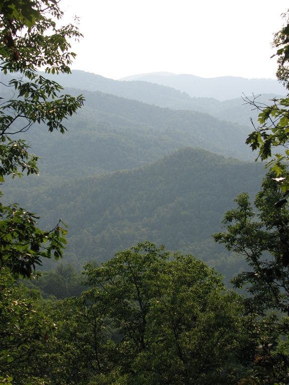
View Lamb Mtn. to SSE
WPT001
Location: 35.8759880065918, -82.8612747192383
Deer Park Shelter
WPT054
Location: 35.8508834838867, -82.8850631713867
Intersection with grassy road; campsite (room for 3 tents)
WPT028
Location: 35.8366317749023, -82.9374313354492
N end of field
WPT034
Location: 35.8362350463867, -82.9200973510742
Views to the E; cross jeep road
WPT066
Location: 35.8581657409668, -82.8691635131836
Taylor Hollow Gap
WPT063
Location: 35.854434967041, -82.8739318847656
Campsite (room for 1 tent)
WPT073
Location: 35.8756828308106, -82.8618011474609
Piped spring (may be dry)
WPT053
Location: 35.8495330810547, -82.8908309936524
Side trail leads W to campsite (room for 1 tent); great valley views; campsite
WPT047
Location: 35.8499488830566, -82.898681640625
AT turns W @ T. Blue-blazed trail to the E to spring
WPT033
Location: 35.8366508483887, -82.9205856323242
Catpen Gap; side trail to E to view field; campsite (room for 3 tents)
WPT024
Location: 35.8328666687012, -82.9372177124024
Stream crossing; campsite (room for 1 tent)
WPT039
Location: 35.8417167663574, -82.9062347412109
Side trail leads W to Flat Rock; no views
WPT042
Location: 35.8459663391113, -82.902702331543
Spring
WPT003
Location: 35.8766174316406, -82.8625030517578
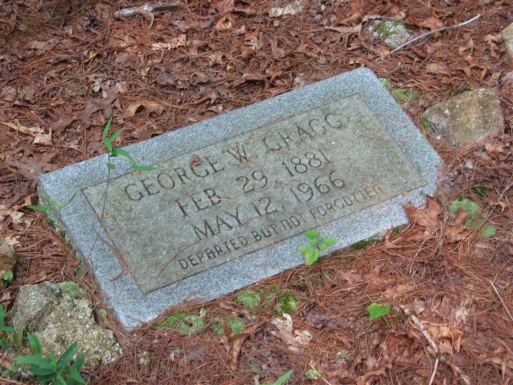
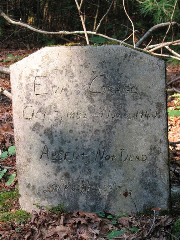
Gragg Gap: Pass small cemetary with two gravesites for George Gragg and Eva Gragg
WPT032
Location: 35.8382148742676, -82.9269866943359
Kale Gap; side trail to the E leading to campsite (room for 3 tents)
WPT036
Location: 35.8394165039062, -82.9168472290039
Tiny stream crossing
WPT031
Location: 35.8370819091797, -82.9364700317383
Spring
WPT026
Location: 35.8335151672363, -82.9383850097656
Partial views of Max Patch Mtn. to the S
WPT005
Location: 35.884651184082, -82.8529510498047
Views to S of Spring Creek Valley
WPT049
Location: 35.8502655029297, -82.8989486694336
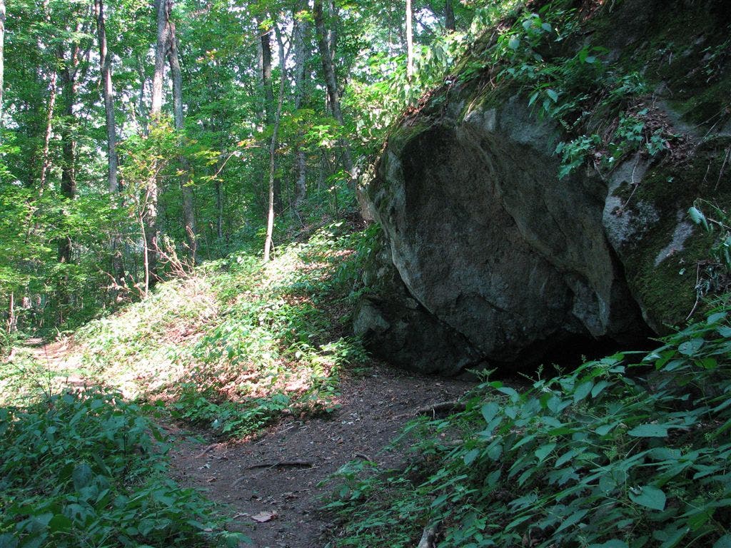
Rock cave
WPT057
Location: 35.851318359375, -82.8797836303711
Blue-blazed trail to the E
WPT038
Location: 35.8412322998047, -82.9068984985352
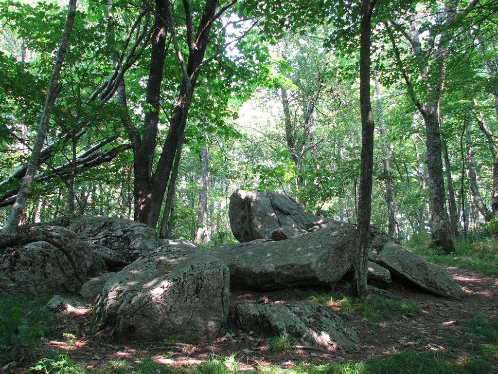
Bluff Mtn.; rocks
WPT027
Location: 35.836067199707, -82.9395523071289
S end of field
WPT025
Location: 35.8332672119141, -82.9372482299805
Small stream crossing
WPT059
Location: 35.8527679443359, -82.8769149780274
Old double track
WPT061
Location: 35.8534317016602, -82.8755187988281
Garenflo Gap; cross gravel road and parking
WPT046
Location: 35.8497657775879, -82.9004821777344
AT continues on middle path towards Deer Park Shelter; old jeep road; campsite (room for 2 tents)
WPT064
Location: 35.8564682006836, -82.8697204589844
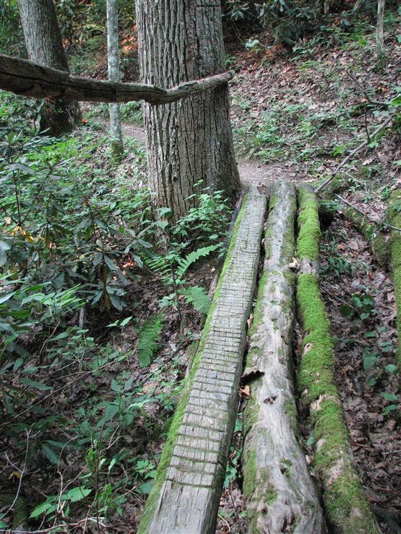
3 log bridges
WPT045
Location: 35.8485832214356, -82.9007797241211
Tiny spring
WPT035
Location: 35.8390159606934, -82.9190139770508
Tiny spring; caution almost dry
WPT002
Location: 35.8762321472168, -82.8622665405274
Trail to shelter; blue-blazed trail leads to spring and campsite (room for 2 tents)
WPT030
Location: 35.8370018005371, -82.9370803833008
Walnut Mountain Trail (#135). Blue-blazed trail on R leads to water
WPT044
Location: 35.8486175537109, -82.9004516601562
Jeep road
WPT023
Location: 35.8320007324219, -82.9374160766602
Adjacent stream crossing
WPT043
Location: 35.8472328186035, -82.9012680053711
20 ft. double track to the W
WPT048
Location: 35.8498497009277, -82.8982849121094
Big Rock Spring
WPT004
Location: 35.8817329406738, -82.8593978881836
Deer Park Mtn.
WPT050
Location: 35.8523178100586, -82.8979187011719
Old jeep road
WPT052
Location: 35.8495674133301, -82.8910369873047
Tiny stream crossing
WPT041
Location: 35.8459663391113, -82.9022979736328
AT switchbacks to the E; blue-blazed trail S to spring
WPT056
Location: 35.851131439209, -82.8827514648438
Campsite (room for 1 tent)
WPT006
Location: 35.8892669677734, -82.8432846069336
Campsite (room for 2 tents)
WPT051
Location: 35.8532485961914, -82.8965835571289
Jeep road
WPT062
Location: 35.853816986084, -82.8753967285156
Powerline
WPT040
Location: 35.8456649780273, -82.9022827148438
Campsite (room for 2 tents)
WPT065
Location: 35.8567848205566, -82.8692855834961
Bridge
WPT037
Location: 35.8403511047363, -82.9122314453125
Campsite (room for 6 tents)
WPT067
Location: 35.8633155822754, -82.8719177246094
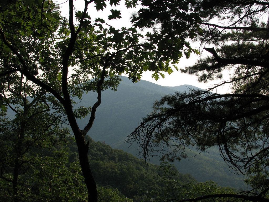
Views to the SW
ZZZ015
Location: 35.8251991271973, -82.937614440918
Lemon Gap; NC 1182; Max Patch Rd.; TN 107
ZZZ016
Location: 35.8895683288574, -82.8326187133789
Parking; kiosk
IMG_3722
Location: 35.8364677429199, -82.9365005493164
IMG_3842
Location: 35.8756828308106, -82.8618011474609
IMG_3813
Location: 35.857349395752, -82.8695526123047
IMG_3823
Location: 35.8638496398926, -82.8715972900391
IMG_3780
Location: 35.8510322570801, -82.9008483886719
IMG_3824
Location: 35.8638496398926, -82.8715972900391
IMG_3866
Location: 35.8773345947266, -82.8621673583984
IMG_3868
Location: 35.8773345947266, -82.8621673583984
IMG_3784
Location: 35.8503684997559, -82.8916320800781
IMG_3753
Location: 35.8411827087402, -82.9067153930664