Appalachian Trail: MA 23 to Tyringham Road

Shelters: Mt. Wilcox South Lean-to; sleeps 6. Mt. Wilcox North Lean-to; sleeps 10.


Trail Facts
- Distance: 17.8
Waypoints
WPT015
Location: 42.2028846740723, -73.2770843505859
The Ledges
ZZZ010
Location: 42.1839485168457, -73.2906341552734
MA 23 (4.3 mi. E to Monterey, MA)
WPT020
Location: 42.2060012817383, -73.2698440551758
Water
ZZZ010
Location: 42.2349014282227, -73.1943511962891
Tyringham Rd./Main Rd.
WPT007
Location: 42.2405853271484, -73.2107086181641
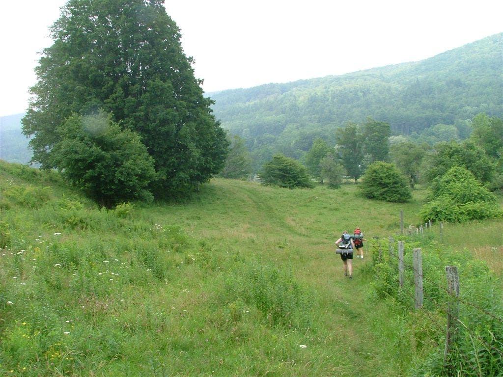
Sound-of-Music-like hills rise around Cobble Hill. Caution: Make sure to follow AT’s rectangle blazes, heading S. White circle blazes head N
WPT009
Location: 42.2379989624023, -73.2093811035156
Jerusalem Rd./Fernside Rd.
WPT003
Location: 42.2220153808594, -73.2540969848633
Another trail to Mt. Wilcox North Shelter
WPT005
Location: 42.2500495910644, -73.2273483276367
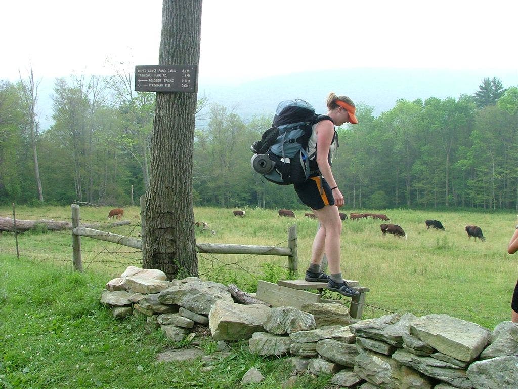
Fernside Rd./Jerusalem Rd. (.6 mi. W to Tyringham, MA)
WPT013
Location: 42.2008819580078, -73.2829818725586
Benedict Pond; gravel road to lake
WPT009
Location: 42.2517395019531, -73.2246856689453
Shaker Campsite
WPT012
Location: 42.194881439209, -73.2850036621094
Blue Hill Rd.
WPT001
Location: 42.2076683044434, -73.2682800292969
Mt. Wilcox South Lean-To
WPT002
Location: 42.2215843200684, -73.2544326782226
Trail to Mt. Wilcox North Lean-to
WPT004
Location: 42.229133605957, -73.248046875
Beartown Mtn. Rd.; water
DSCF6537
Location: 42.2422180175781, -73.2088851928711
DSCF6543
Location: 42.2382850646973, -73.2093811035156
DSCF6531
Location: 42.2470016479492, -73.2311859130859