Appalachian Trail: Lehigh Gap to Wind Gap

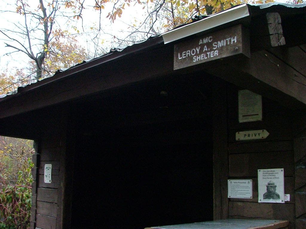
Shelter: Leroy A. Smith Shelter; sleeps 8.

Trail Facts
- Distance: 31.2
Waypoints
WPT014
Location: 40.8079490661621, -75.5351867675781
Pipeline
WPT021
Location: 40.8410339355469, -75.3599319458008
Trail to shelter and water; cross powerline and go downhill to shelter; water is further down with three possible springs
WPT004
Location: 40.8236656188965, -75.4198303222656
Camping site
WPT016
Location: 40.807731628418, -75.5394821166992
Jeep road
WPT019
Location: 40.7994842529297, -75.5764999389648
Open area boundary
WPT016
Location: 40.8595352172852, -75.2952194213867
Telephone line
WPT013
Location: 40.8079490661621, -75.5346527099609
Little Gap; Little Gap Rd.
WPT005
Location: 40.8232345581055, -75.4227676391602
Camping; signed hunters camps
WPT006
Location: 40.822868347168, -75.4247665405274
Blue-blazed trail to Stempa Spring; .6 mi.
WPT011
Location: 40.8077011108398, -75.5271987915039
Telephone line; jeep road
WPT020
Location: 40.7941513061523, -75.5924530029297
Open area boundary
WPT007
Location: 40.8179512023926, -75.4535369873047
Blue blaze Delps Trail to spring; .3 mi.
WPT015
Location: 40.8626670837402, -75.2969360351562
Gateway Motel; owners will refill your water bottles or bladders here
WPT020
Location: 40.8432350158691, -75.357551574707
Powerline
WPT008
Location: 40.8152656555176, -75.4713821411133
Powerline
WPT017
Location: 40.8057518005371, -75.5518341064453
2 powerlines
WPT015
Location: 40.8078842163086, -75.5364151000976
AT turns E
WPT010
Location: 40.8078155517578, -75.5262832641602
View N
WPT009
Location: 40.8132667541504, -75.4780197143555
Blue blaze trail to view
WPT017
Location: 40.8598175048828, -75.2993850708008
View N
WPT022
Location: 40.7873764038086, -75.6042404174805
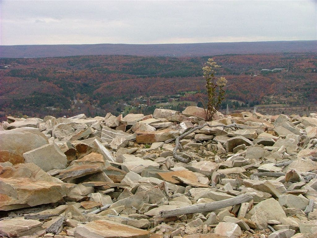
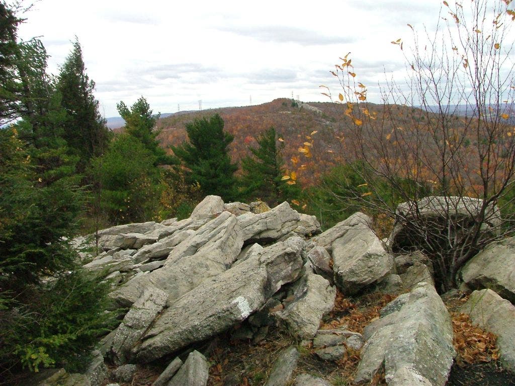
Major rock scramble
WPT012
Location: 40.8069343566894, -75.5287170410156
Rock scramble near radio tower
WPT003
Location: 40.8255844116211, -75.4140701293945
Smith Gap; Smith Gap Rd.; parking
WPT021
Location: 40.792781829834, -75.5982971191406
AT turns E @ jct. with blue blaze Winter Trail down to Lehigh Gap
WPT018
Location: 40.8589324951172, -75.3031158447266
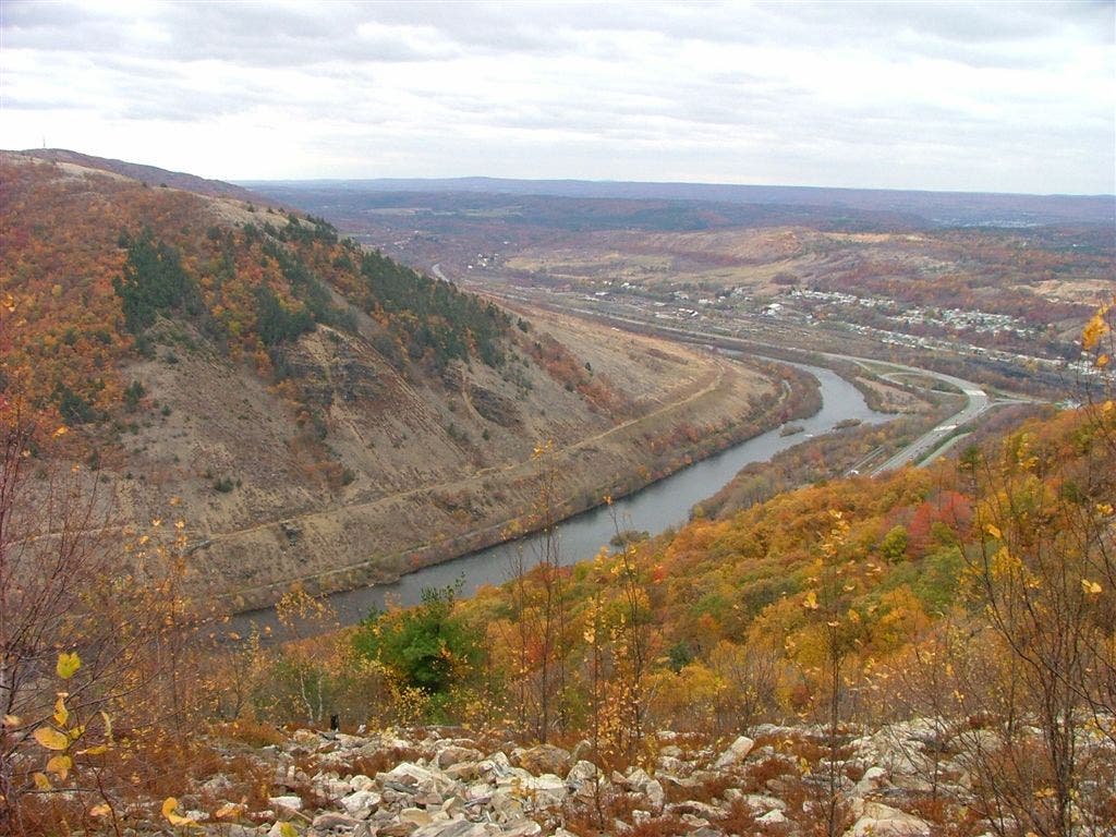
View of Wind Gap
WPT019
Location: 40.8506660461426, -75.329948425293
Pipeline; view
WPT015A
Location: 40.8614692687988, -75.2949142456055
Wind Gap: AT turns E on PA 512 under PA 33 before turning L at AT sign and parking area
WPT001
Location: 40.839427947998, -75.3593139648438
Leroy A. Smith Shelter
WPT023
Location: 40.7836227416992, -75.6046295166016
Lehigh Gap; gravel parking lot
DSCF0786
Location: 40.8041839599609, -75.5574188232422
DSCF0801
Location: 40.7987518310547, -75.5813827514648
DSCF0807
Location: 40.789966583252, -75.6010360717774
DSCF0769
Location: 40.8396492004394, -75.3594360351562
DSCF0776
Location: 40.8069000244141, -75.5289001464844
Blue Mountain
Location: 40.8041801452637, -75.5574188232422