Appalachian Trail: Jo-Mary Road to Mount Katahdin
Shelters: Potaywadjo Spring Lean-to; sleeps 8. Wadleigh Stream Lean-to; sleeps 6. Rainbow Stream Lean-to; sleeps 6. Hurd Brook Lean-to; sleeps 6.
TO TRAILHEAD: Start: From Millinocket, ME, take ME 11 south 15.5 miles to Jo Mary Lake Rd. Turn right and take Jo Mary Lake Rd. 11.6 miles to trailhead.
End: From Millinocket, ME, take Bates St. north (Bates turns into Millinocket Rd. and Golden Rd.) 12.6 miles. Bear right onto Debsconeag Rd. for .4 mile, then turn right onto Baxter Park Rd. Turn left on Park Tote Rd. and drive 8 miles to trailhead in Katahdin Stream Campground parking lot.





Trail Facts
- Distance: 85.1
Waypoints
WPT008
Location: 45.840984, -68.977066
Streamlet
WPT002
Location: 45.895935, -68.984467
Owl Trail
WPT009
Location: 45.841835, -68.98317
Foss and Knowlton stream
WPT012
Location: 45.653915, -69.009865
Blue-blazed to Cooper Pond
WPT018
Location: 45.882416, -69.031486
Parking; road to Daicey Pond and Campground
WPT008
Location: 45.812168, -69.09417
Rainbow Lake
WPT021
Location: 45.685833, -69.012718
Trail to Sand Beach
WPT005
Location: 45.839401, -68.964851
ABOL POND TR/KIOSK for the Birches sign up and park use 0132 0134 0135 0133
WPT022
Location: 45.773449, -69.185097
Trail to viewpoint
WPT007
Location: 45.898232, -68.936584
Baxer Peak Cut-off; Thoreau Spring
WPT014
Location: 45.869133, -69.036484
Trail to Big Niagara Falls (.1 mi.)
WPT010
Location: 45.841667, -68.99028
Gravel road; private home
WPT019
Location: 45.685417, -69.01992
Beaches around lake
WPT010
Location: 45.902065, -68.916618
South Peak; retrace steps back to Katahdin Stream Campground
WPT016
Location: 45.746948, -69.144447
Wadleigh Stream Lean-to
WPT006
Location: 45.900017, -68.946785
Tableland
WPT025
Location: 45.784267, -69.162369
Stream
WPT007
Location: 45.735451, -69.05468
Trail to Nahmakanta Stream Campsite (100 feet)
WPT001
Location: 45.799015, -69.170281
Rainbow Stream Lean-to
WPT011
Location: 45.737232, -69.107902
Nahmakanta Lake Beach
WPT002
Location: 45.8022, -69.169769
Red blaze trail
WPT025
Location: 45.890865, -69.010033
AT turns E on gravel road; Perimeter Rd.
WPT010
Location: 45.810184, -69.067314
Stream
WPT023
Location: 45.779449, -69.172737
AT crosses bridge on road over Pollywog Stream
WPT012
Location: 45.887516, -68.99865
Ranger Station to register for the Birches Shelter and to get the latest weather and class information
WPT002
Location: 45.835152, -68.95903
AT turns W off Golden Rd.
WPT029
Location: 45.731133, -69.028069
Maher Trail/Maher Tote Road to White House Landing; Take this road and the Blue-blazed trail to White House Landing, a popular resupply spot for hikers through the 100-mile wilderness. Blow the horn only during daylight hours to be picked up.
WPT015
Location: 45.746052, -69.142136
Wadleigh Stream
WPT017
Location: 45.835434, -68.971367
AT turns E on road, Golden Road
WPT003
Location: 45.817917, -69.16375
Trail to Rainbow Lake Dam; excellent view of Katahdin
WPT028
Location: 45.729633, -69.027634
Road
WPT023
Location: 45.706768, -69.007347
Potaywadjo Spring Lean-to
WPT013
Location: 45.653999, -69.009384
Road
WPT026
Location: 45.713085, -69.011864
Twitchell Brook
WPT011
Location: 45.849033, -69.020554
Waterfall
WPT010
Location: 45.737049, -69.107246
Picnic Area
WPT005
Location: 45.895599, -68.968247
Small stream. Caution: AT does the switchback loop. The path straight ahead is the old AT; watch carefully for blazes.
WPT022
Location: 45.885467, -69.018181
Elbow Pond
WPT009
Location: 45.805866, -69.082115
Trail to Big Beaver Pond
ZZZ011
Location: 45.651016, -69.031799
Jo-Mary Road
WPT020
Location: 45.763248, -69.175385
Road
WPT013
Location: 45.859467, -69.032349
Indian Pitch
WPT007
Location: 45.838501, -68.969414
Foss and Knowlton Trail
WPT024
Location: 45.781265, -69.164116
Chute-like Falls
WPT005
Location: 45.734215, -69.036667
High-water route
WPT017
Location: 45.756302, -69.159554
Gorge
WPT013
Location: 45.736767, -69.121735
Prentiss Brook
WPT023
Location: 45.886868, -69.015068
Grassy Pond TR
WPT019
Location: 45.881599, -69.030067
Daicey Pond
WPT024
Location: 45.888634, -69.012634
Elbow Pond outlet
WPT020
Location: 45.882916, -69.024582
Grassy Pond Loop Trail
WPT004
Location: 45.733532, -69.034065
High-water route .2 mi. rejoins at WPT005
WPT020
Location: 45.686565, -69.016098
Potaywadjo Ridge Trail .9 mi.
WPT018
Location: 45.678001, -69.00428
Antlers Campsite; Lower Jo Mary Lake
WPT006
Location: 45.838818, -68.969017
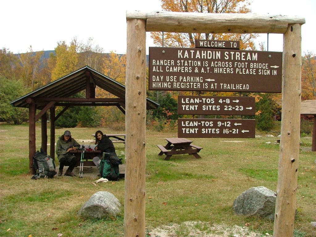
Katahdin Stream
WPT025
Location: 45.709015, -69.011597
road
WPT008
Location: 45.904449, -68.921417
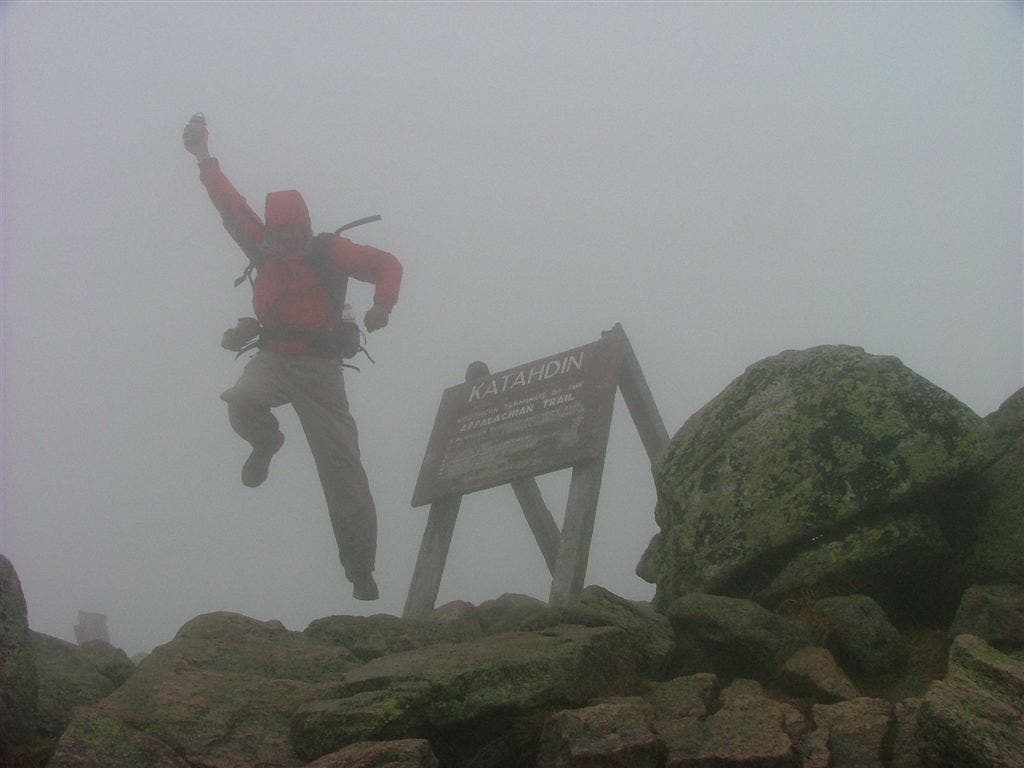
Baxter Peak; Northern AT Terminus
WPT016
Location: 45.872833, -69.038117
Trail to Toll Dam 15 ft.
WPT018
Location: 45.83535, -68.967369
Abol Bridge
WPT011
Location: 45.897884, -68.956566
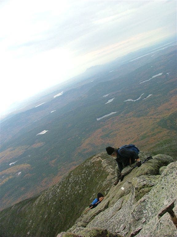
Begin the Gateway a difficult section of trail requiring some steep scrambling
WPY026
Location: 45.885841, -69.000183
AT turns W at sign for Katahdin Stream Campground
WPT021
Location: 45.770084, -69.1782
Crescent Pond
WPT014
Location: 45.818352, -69.018654
50 feet on AT N of Hurd Brook Lean-to
WPT019
Location: 45.759815, -69.164681
View of lake
WPT011
Location: 45.817501, -69.037613
Stream
WPT027
Location: 45.713749, -69.011734
Signed view of Katahdin
WPT018
Location: 45.756935, -69.165184
Nesuntabunt Mountain; Trail to view of Katahdin
WPT027
Location: 45.887234, -68.999733
Parking picnic area @ Katahdin Stream Campground; AT goes W @ picnic area; Ranger station is across bridge on R
WPT017
Location: 45.880852, -69.031914
Daicey Pond Nature Trail
WPT017
Location: 45.666534, -68.990784
Trail to Mud Pond access with outlet streams nearby
WPT014
Location: 45.744049, -69.137718
Sand Beach and Trail to spring
WPT009
Location: 45.735935, -69.103432
Road
WPT012
Location: 45.817951, -69.019867
Hurd Brook
WPT022
Location: 45.706001, -69.007416
Trail to Potaywadjo Spring Lean-to
WPT012
Location: 45.736198, -69.115051
Gravel beach
WPT001
Location: 45.888584, -68.998535
Registration clipboard on AT to climb the Hunt Trail
WPT008
Location: 45.734901, -69.054916
Nahmakanta Stream Campsite
WPT015
Location: 45.818718, -69.00943
Spring
WPT003
Location: 45.895668, -68.983749
Katahdin stream and Katahdin Stream Falls
WPT015
Location: 45.869316, -69.037247
BIg Niagara Falls
WPT003
Location: 45.836899, -68.960716
Abol Stream TR; 50 feet further is a great view of Katahdin
WPT005
Location: 45.822884, -69.13633
Trail to Rainbow Spring Tentsite 100 feet spring
WPT007
Location: 45.819099, -69.105904
Trail to Rainbow Mountain 1 mi. “easy” good views of Katahdin; track follows part way up to partial views of The Big K
WPT024
Location: 45.706734, -69.008385
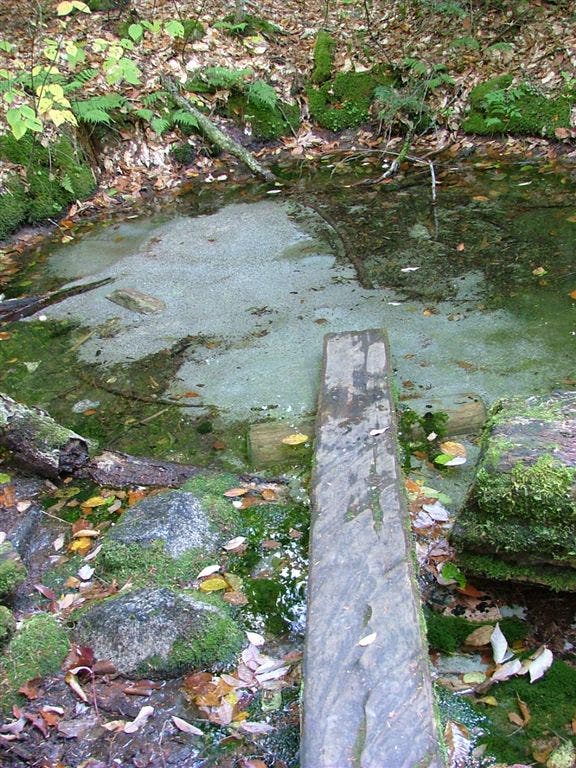
Potaywadjo Spring; 15-foot diameter bubbling sand spring
Mud Pond
Location: 45.665946, -68.990622
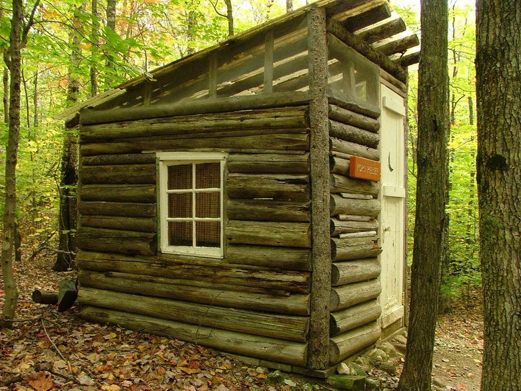
Privy
Location: 45.678234, -69.005234
Potaywadjo Spring
Location: 45.706768, -69.008499
Pemadumcook Lake
Location: 45.713768, -69.011536
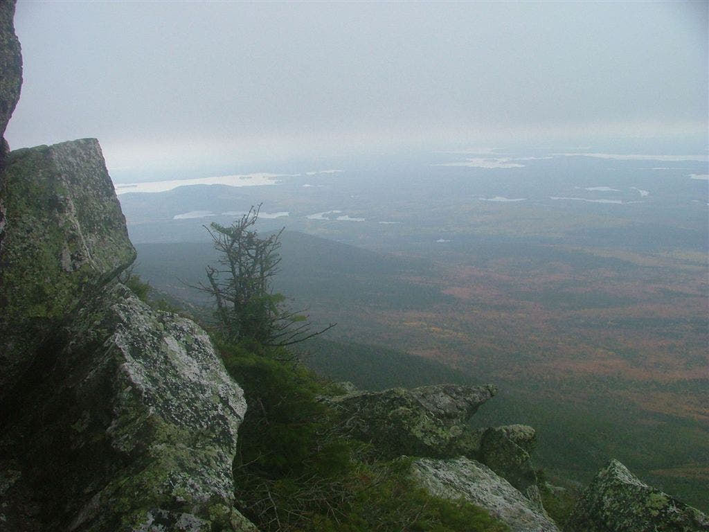
Views across Pemadumcook Lake in Maine
Location: 45.713768, -69.011528
Views
Location: 45.822818, -68.994141
Views of Katahdin
Location: 45.835255, -68.967072
Views of Katahdin
Location: 45.837448, -68.960953
Mount Katahdin in Baxter State Park
Location: 45.837448, -68.960953
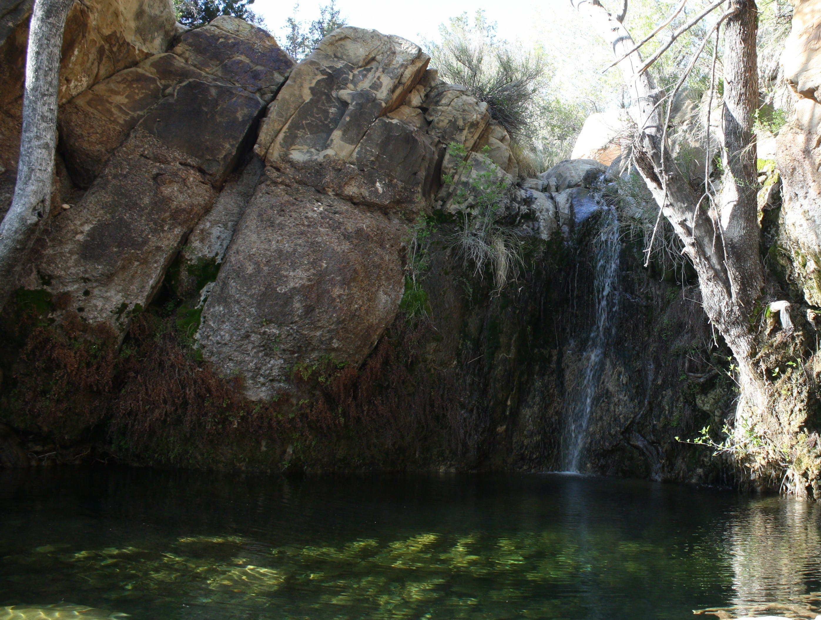
Waterfall
Location: 45.869267, -69.037087
Katahdin Stream
Location: 45.886734, -68.999748
Hunts Peak
Location: 45.899715, -68.948646
Jeff Chow on Mount Katahdin
Location: 45.904449, -68.921417
Mount Katahdin Summit
Location: 45.904385, -68.921265