Heading out the door? Read this article on the new Outside+ app available now on iOS devices for members! Download the app.
Shelters: None.

Trail Facts
- Distance: 8.5
Waypoints
WPT025
Location: 35.884449005127, -82.806396484375
Lovers Leap Ridge
WPT024
Location: 35.8848152160644, -82.8032836914062
Lovers Leap Ridge
WPT019
Location: 35.901782989502, -82.7903518676758
AT turns E on gravel road; trail boundary
ZZZ017
Location: 35.9100341796875, -82.7910308837891
Tanyard Gap; US 25 overpass
WPT036
Location: 35.8932647705078, -82.8261184692383
Railroad
WPT032
Location: 35.8918342590332, -82.821418762207
Blue-blazed trail to the W; house
WPT022
Location: 35.8882331848144, -82.7963485717774
Yellow-blazed Pump Gap Trail
WPT037
Location: 35.8913154602051, -82.8302536010742
Sunny Bank Inn
WPT030
Location: 35.8907165527344, -82.8193664550781
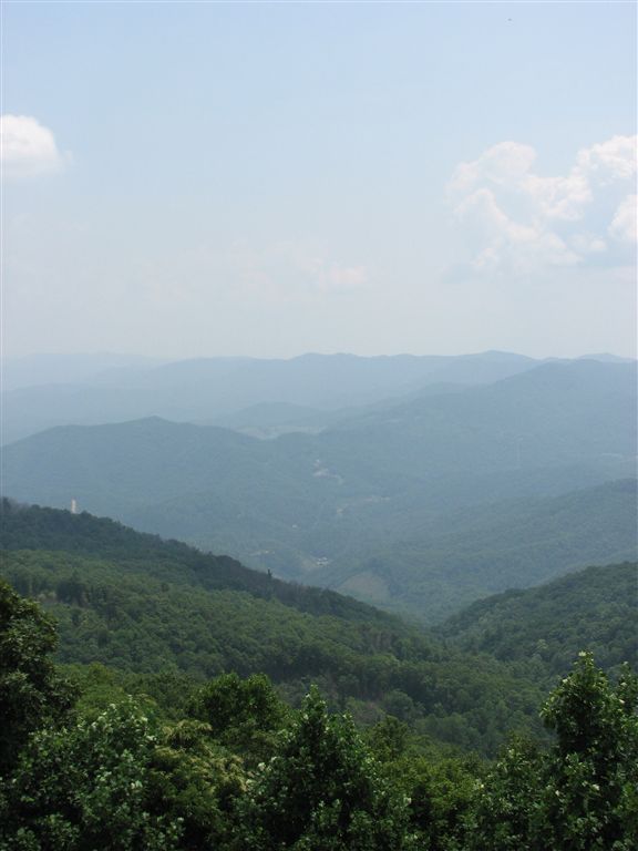
Views to W
WPT015
Location: 35.9082679748535, -82.790412902832
Tiny stream crossing
WPT021
Location: 35.8959007263184, -82.7888641357422
AT turns E @ jct. with yellow-blazed trail that continues straight
WPT035
Location: 35.8936996459961, -82.8244323730469
W end of bridge
WPT033
Location: 35.893383026123, -82.8220825195312
AT turns W; road and trail boundary
WPT027
Location: 35.8886985778809, -82.8177642822266
Blue-blazed trail to the E leads to Lovers Leap
WPT028
Location: 35.8885498046875, -82.8180694580078
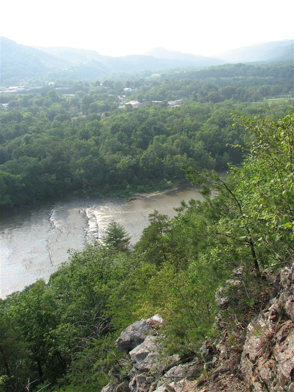
Lovers Leap
WPT026
Location: 35.8852844238281, -82.8144149780274
Campsite (room for 6 tents)
ZZZ016
Location: 35.8894653320312, -82.8325500488281
Parking; kiosk
WPT034
Location: 35.8935165405273, -82.8220825195312
AT turns E; stairs; E end of bridge
WPT009
Location: 35.889232635498, -82.8313140869141
AT turns W @ jct. with NC 09
WPT014
Location: 35.9089317321777, -82.7903366088867
Tiny stream crossing
WPT017
Location: 35.9033164978027, -82.7906799316406
AT turns W @ jct. with Gravel Road Trail; field
WPT029
Location: 35.8909149169922, -82.8190994262695
Lovers Lane Trail (#308)
WPT023
Location: 35.8879852294922, -82.7968368530274
Campsite (room for 2 tents)
WPT018
Location: 35.9019660949707, -82.7906036376953
AT continues on gravel road
WPT016
Location: 35.9046173095703, -82.790283203125
AT turns E; gravel road; woods
WPT031
Location: 35.8898506164551, -82.8195037841797
Steep and rocky
WPT008
Location: 35.8897018432617, -82.8322296142578
S. Serpentine Ave.
WPT013
Location: 35.9096183776856, -82.7909698486328
AT turns E; road and woods boundary
WPT020
Location: 35.9010314941406, -82.7912521362305
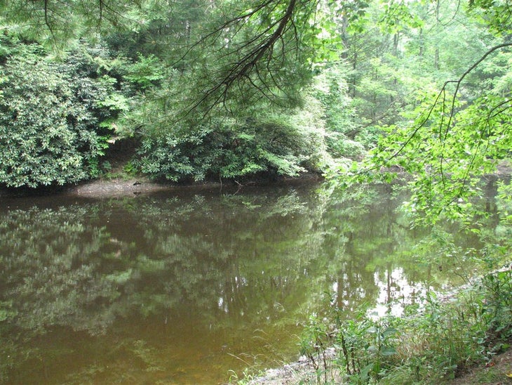
Bench and pond
IMG_3053
Location: 35.8909683227539, -82.8212203979492
IMG_3040
Location: 35.888801574707, -82.8197479248047
IMG_3042
Location: 35.8894500732422, -82.8208465576172
IMG_3078
Location: 35.8936996459961, -82.8240509033203
IMG_3091
Location: 35.8923988342285, -82.8280487060547
IMG_3070
Location: 35.8927345275879, -82.8215484619141
IMG_2991
Location: 35.9010848999023, -82.7911834716797
IMG_3086
Location: 35.8930511474609, -82.8267364501953
IMG_2923
Location: 35.8845176696777, -82.8116989135742
IMG_3075
Location: 35.9069976806641, -82.7905197143555
IMG_3093
Location: 35.8919982910156, -82.8289642333984