Appalachian Trail: Harpers Ferry to Gathland State Park

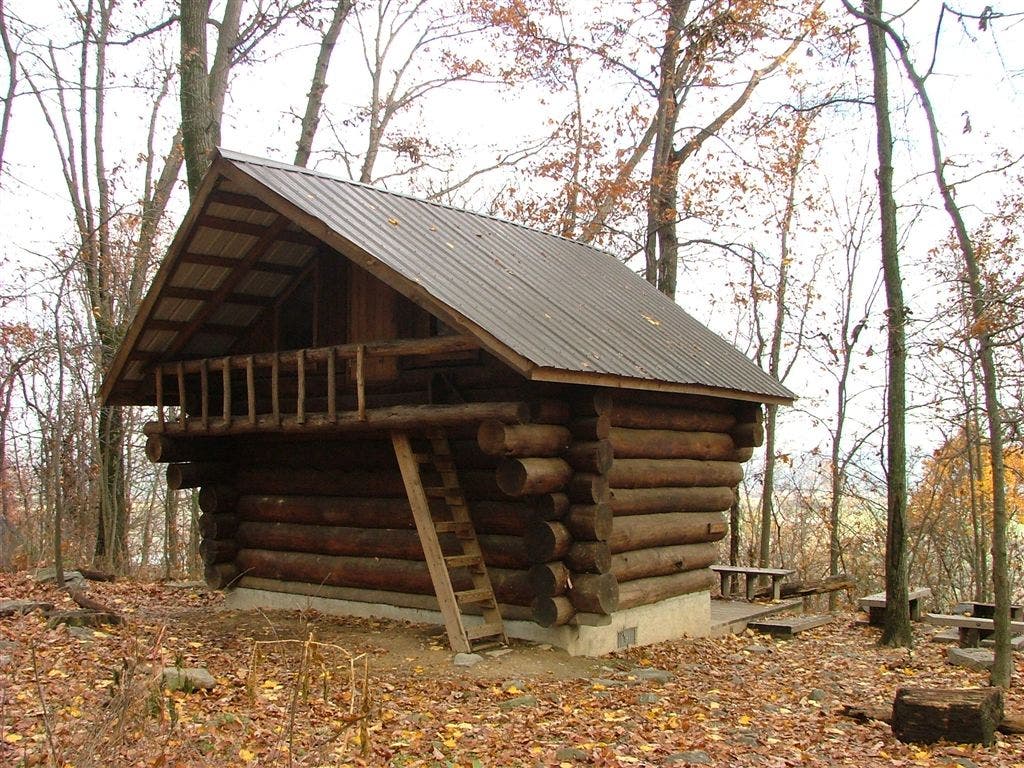
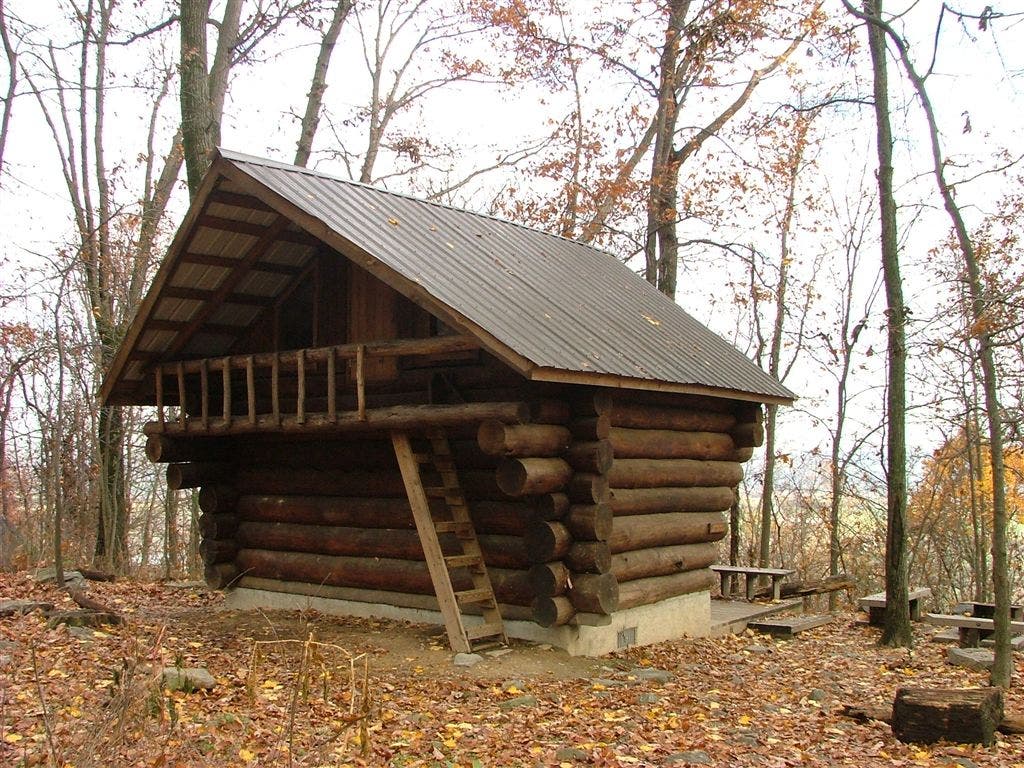
Shelters: Ed Garvey Shelter: sleeps 12; privy.

Trail Facts
- Distance: 16.8
Waypoints
HAR005
Location: 39.322834, -77.7301636
AT turns west on High Street; parking
HAR016
Location: 39.3328209, -77.6820297
Weverton Road
HAR022
Location: 39.3828583, -77.649086
Continue straight; pipeline.
HAR004
Location: 39.3230553, -77.7305069
Stone steps; continue heading east.
HAR013
Location: 39.3298721, -77.6824951
Kepp Tryst Road
HAR021
Location: 39.3665504, -77.6588593
Pass blue-blaze trail; view to the northwest
HAR015
Location: 39.3329163, -77.6831818
AT turns east.
HAR017
Location: 39.333374, -77.6764603
Follow blue blazes to the south for views above the Weverton Cliffs.
HAR006
Location: 39.3231277, -77.7288666
AT turns west
HAR018
Location: 39.3321762, -77.6765976
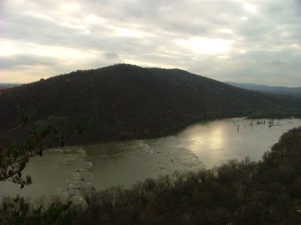
Weverton Cliffs: Savor great views across the Potomac River, then return to Waypoint 17.
HAR023
Location: 39.4046974, -77.6402435
AT turns east.
HAR020
Location: 39.3598213, -77.6620331
Ed Garvey Shelter
HAR011
Location: 39.3292732, -77.6814804
AT turns west; C&O Canal Towpath.
HAR019
Location: 39.360054, -77.6626816
Pass spur trail to Ed Garvey Shelter on right.
HAR012
Location: 39.3298721, -77.6815262
Railroad
HAR009
Location: 39.3256798, -77.7063141
Cross US 340; Sandy Hook Bridge
HAR002
Location: 39.3227501, -77.7329025
Pass Jefferson Rock
HAR007
Location: 39.3234634, -77.728775
Cross footbridge
HAR008
Location: 39.3241425, -77.726265
AT turns east after bridge walk.
HAR010
Location: 39.3254051, -77.7014771
Blue-blazed trail leads to hostel.
HAR014
Location: 39.3314857, -77.6851654
I-340 underpass
HAR001
Location: 39.322876, -77.7403793
Head east on Appalachian Trail. Blue-blaze trail on left leads .2 mile to Appalachian Trail Conservancy and roadside parking.
HAR003
Location: 39.3229485, -77.7308197
Trail to ATC
HAR024
Location: 39.4058228, -77.6396027
Gapland Road
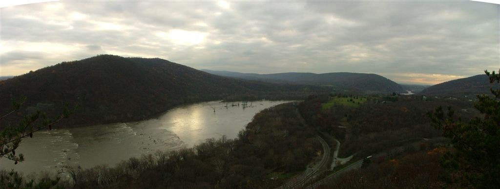
Views of the Potomac River
Location: 39.3321838, -77.6765366
Weverton Cliffs
Location: 39.3320503, -77.6765518
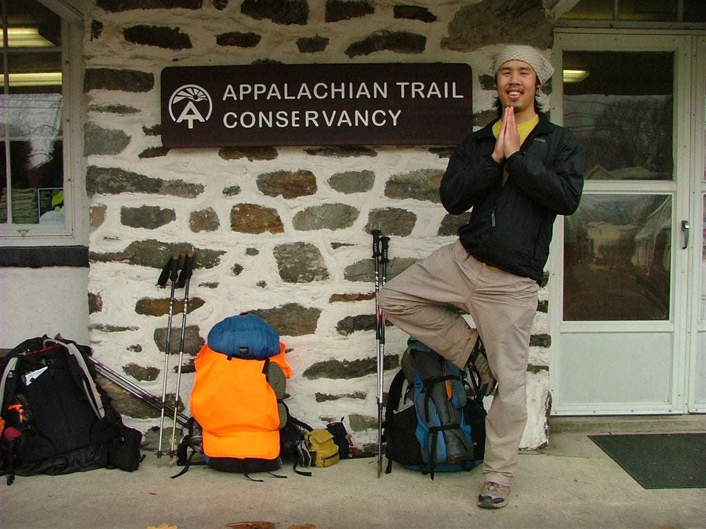
The Appalachian Trail Conservancy
Location: 39.3255157, -77.7405396
Sign the book as a thru-hiker and get your picture taken.
Ed Garvey Shelter
Location: 39.3598671, -77.6620331
Ed Garvey Shelter
Location: 39.3602371, -77.6618958
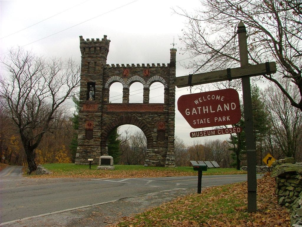
Gathland State Park Sign
Location: 39.4056931, -77.6397324
The Potomac River flows through Harpers Ferry National Historical Park
Location: 39.33218, -77.6765289