Appalachian Trail: Flume Visitor Center to US 302

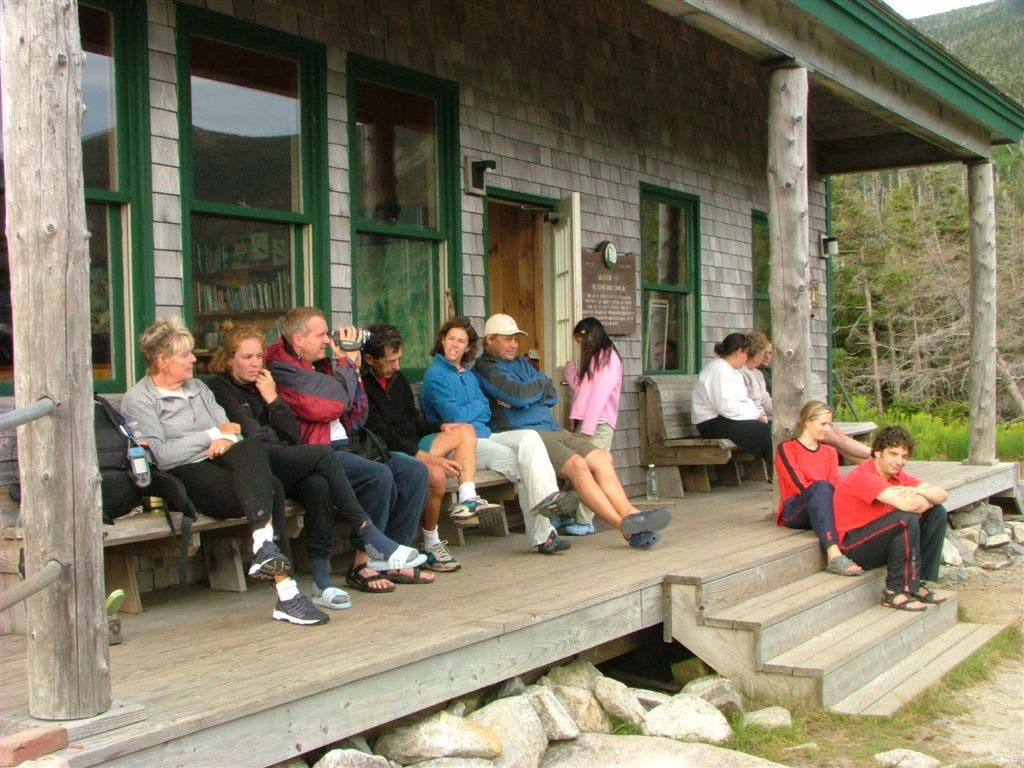
Shelters: Galehead Hut; sleeps 38. Zealand Falls Hut; sleeps 30.








Trail Facts
- Distance: 44.6
Waypoints
WPT013
Location: 44.1883163452148, -71.5687484741211
Twin Brook Trail to Galehead Hut
WPT005
Location: 44.1660652160644, -71.3882827758789
Trail to Ripley Falls .4 mi.
WPT001
Location: 44.1878814697266, -71.5688858032226
Galehead Hut
WPT003
Location: 44.1956481933594, -71.4934310913086
Zealand Falls
WPT005
Location: 44.1131820678711, -71.6674346923828
River
WPT004
Location: 44.112434387207, -71.675666809082
Flume Side Trail
WPT011
Location: 44.1771850585938, -71.4267654418945
Ethan Pond Campsite
WPT011
Location: 44.192684173584, -71.5811157226562
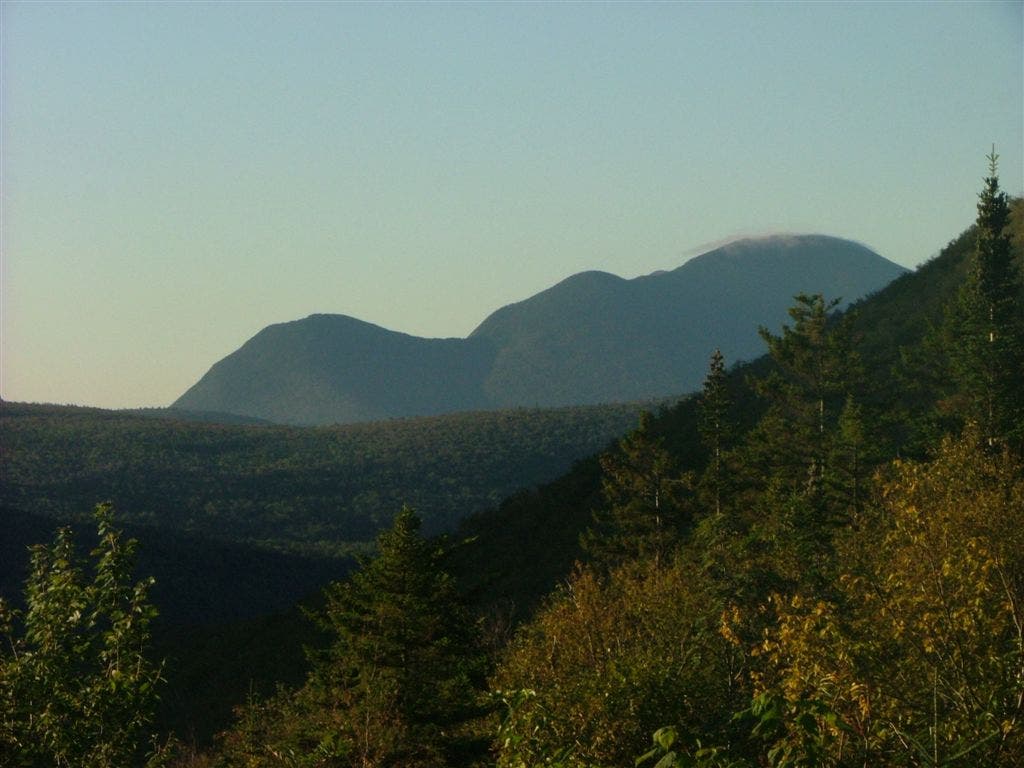
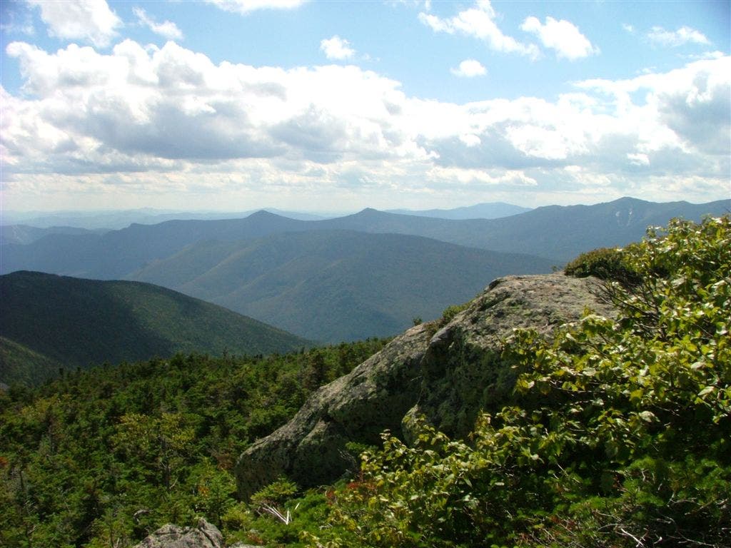
View to the SE where you can see Galehead Hut
WPT012
Location: 44.1757125854492, -71.4276275634766
Trail to Ethan Pond Campsite
WPT009
Location: 44.1404838562012, -71.6459197998047
Falling Waters Trail; Little Haystack Mtn.
WPT002
Location: 44.1104850769043, -71.6816177368164
AT turns W on Whitehouse Trail
WPT012
Location: 44.1900482177734, -71.5779647827148
Gale River Trail
WPT003
Location: 44.1873016357422, -71.610969543457
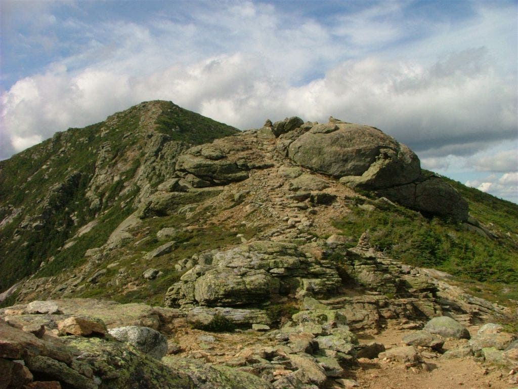
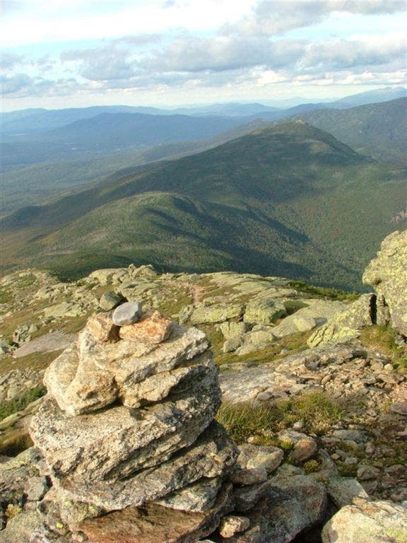
Garfield Summit; 360-degree views including the Franconia Ridge
WPT012
Location: 44.1836013793945, -71.4963836669922
Trail to view
WPT009
Location: 44.1613578796387, -71.5353240966797
Guyot Campsite
WPT008
Location: 44.1833648681641, -71.5091171264648
View E
WPT011
Location: 44.0970840454102, -71.6804351806641
The Flume Gorge Visitor Center:
Discovered in 1808, the Flume is a natural gorge extending 800 feet at the base of Mt. Liberty. The walls of Conway granite rise perpendicularly to a height of 70 to 90 feet and are from 12 to 20 feet apart. Bus service is provided to transport visitors to within 500 yards of the gorge entrance. Marked walking trails with signs explaining natural features lead to other points of interest, including the Pool and Sentinel Pine Bridge.
The contemporary visitor center, framed by a spectacular vista of Mts. Liberty and Flume, houses the Flume ticket office, an information center, cafeteria, gift shop, the state park system’s historic Concord Coach, and a small auditorium where notch video programs are shown on a regular basis
WPT010
Location: 44.1723670959473, -71.4530639648438
Stream
WPT012
Location: 44.1694183349609, -71.6436004638672
Skookumchuck Trail
WPT007
Location: 44.1610717773438, -71.5375061035156
TR to Guyot Campsite
WPT008
Location: 44.1901168823242, -71.6070175170898
Trail to Garfield Ridge Campsite; spring
WPT006
Location: 44.1792488098144, -71.4798812866211
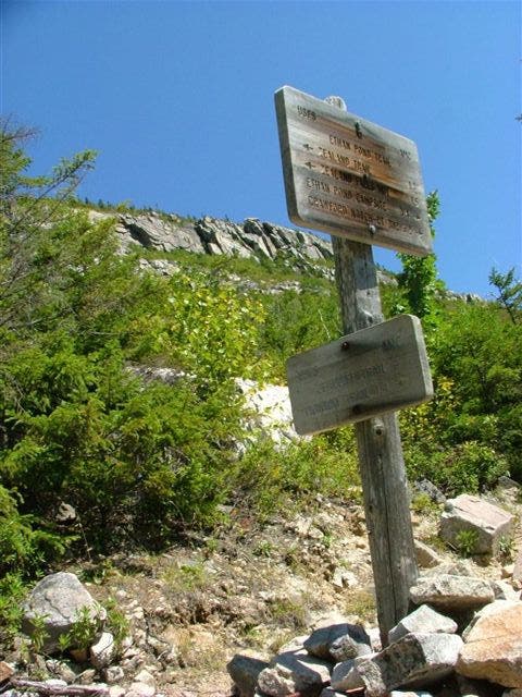
Zeacliff Trail
WPT001
Location: 44.1768989562988, -71.4274826049805
Ethan Pond
WPT010
Location: 44.1841659545898, -71.5058135986328
Spur trail to Zeacliff Pond
WPT002
Location: 44.1960601806641, -71.4932861328125
Side trail to Zealand Falls
WPT003
Location: 44.1102676391602, -71.6808700561524
AT turns E joining Liberty Springs Trail
WPT007
Location: 44.1188507080078, -71.6427841186524
AT turns W on Franconia Ridge Trail. You can side-track 0.3 mi E to Mt. Liberty
WPT005
Location: 44.180534362793, -71.4803314208984
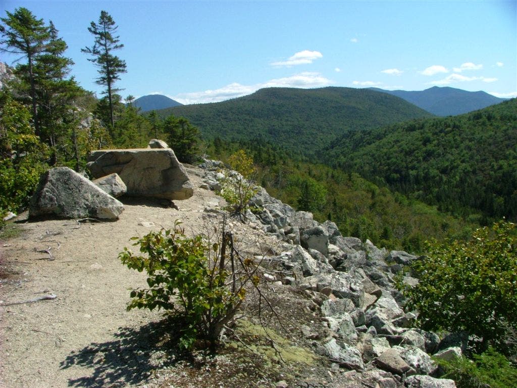
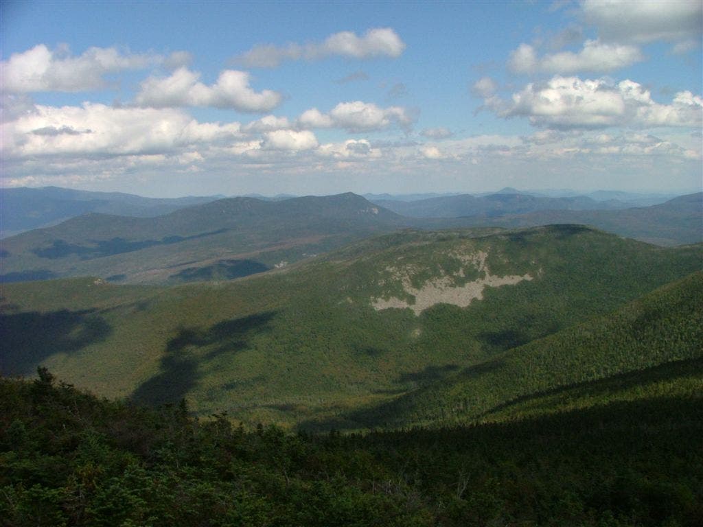
View of rock valley; quarry
WPT011
Location: 44.1608657836914, -71.6444702148438
Mt. Lafayette; Old Bridle Path to Greenleaf Hut
WPT006
Location: 44.1170845031738, -71.6472854614258
Liberty Springs Tent site; railings help protect the fragile area from being impacted at Liberty Springs Campsite
WPT001
Location: 44.1957321166992, -71.4943466186524
Zealand Falls Hut
WPT004
Location: 44.1956825256348, -71.4906463623047
AT continues E on Ethan Pond Trail a jct. with Ethan Pond Trail
WPT010
Location: 44.1897163391113, -71.5989837646484
Franconia Brook Trail
WPT004
Location: 44.1726684570312, -71.404899597168
Kedron Flume Trail
WPT004
Location: 44.1897010803223, -71.6086807250976
AT turns E on Garfield Ridge Trail
WPT001
Location: 44.1708488464356, -71.3879470825195
US 302; parking
WPT001
Location: 44.1868515014648, -71.6185989379883
Garfield Pond
WPT006
Location: 44.1686515808106, -71.5356369018555
AT turns W @ jct. with Bondcliff TR to Guyot Campsite
WPT009
Location: 44.1700172424316, -71.461799621582
Shoal Pond Trail
WPT010
Location: 44.1099014282227, -71.6817169189453
AT turns W on Whitehouse Trail (paved bikepath); Track Leaves AT @ Whitehouse Trail following the Whitehouse Trail E to the Flume Visitor Center
WPT011
Location: 44.1841011047363, -71.4988327026367
Zeacliff Trail
WPT008
Location: 44.1699333190918, -71.4672012329102
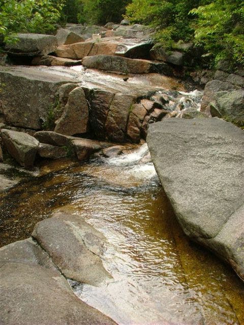
River; brown with tannic acid
WPT004
Location: 44.1959991455078, -71.4924468994141
Random tent platform
WPT005
Location: 44.1876983642578, -71.5547027587891
AT turns E @ jct. with North Twin Spur Tr.; South Twin Mnt.
WPT004
Location: 44.1682167053223, -71.5341033935547
Mt Guyot
WPT007
Location: 44.1708183288574, -71.4713516235352
Thoreau Falls Trail
WPT009
Location: 44.110466003418, -71.6821517944336
AT goes under I-93 along river
WPT008
Location: 44.1375350952148, -71.6477661132812
Views to the S
WPT003
Location: 44.1750984191894, -71.4088516235352
AT turns E on Willey Range Trail
WPT010
Location: 44.1493492126465, -71.6443862915039
Mt. Lincoln (5,089 ft.)
WPT006
Location: 44.1667175292969, -71.3862152099609
Railroad
WPT014
Location: 44.1946334838867, -71.4959030151367
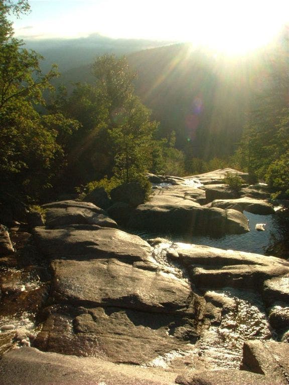
Waterfall Slide
WPT015
Location: 44.1952018737793, -71.4956130981445
Lend-A-Hand Trail
DSCF8245
Location: 44.1768493652344, -71.4274673461914
DSCF8078
Location: 44.1878318786621, -71.5688781738281
DSCF8160
Location: 44.1784515380859, -71.4794845581055
DSCF8082
Location: 44.1878318786621, -71.5688781738281
DSCF8140
Location: 44.1957244873047, -71.4944610595703
DSCF7999
Location: 44.1755676269531, -71.6382827758789
DSCF8103
Location: 44.1871185302734, -71.5546340942383
DSCF7935
Location: 44.1423873901367, -71.6441040039062
DSCF8114
Location: 44.1686172485352, -71.5356140136719
DSCF8202
Location: 44.1768684387207, -71.4276275634766
DSCF7944
Location: 44.1479110717773, -71.6446380615234
DSCF8062
Location: 44.1872482299805, -71.6108703613281
DSCF8087
Location: 44.1871185302734, -71.5546340942383
DSCF8185
Location: 44.1816291809082, -71.5199127197266
DSCF7910
Location: 44.1375999450684, -71.6477966308594
DSCF7965
Location: 44.1753997802734, -71.5226821899414
DSCF7924
Location: 44.1403465270996, -71.6459197998047
DSCF7985
Location: 44.1672019958496, -71.6451644897461
DSCF8130
Location: 44.1947860717773, -71.4958572387695
DSCF8146
Location: 44.195556640625, -71.4944229125976
DSCF8155
Location: 44.1792945861816, -71.4797821044922
DSCF8279
Location: 44.1708679199219, -71.3876266479492
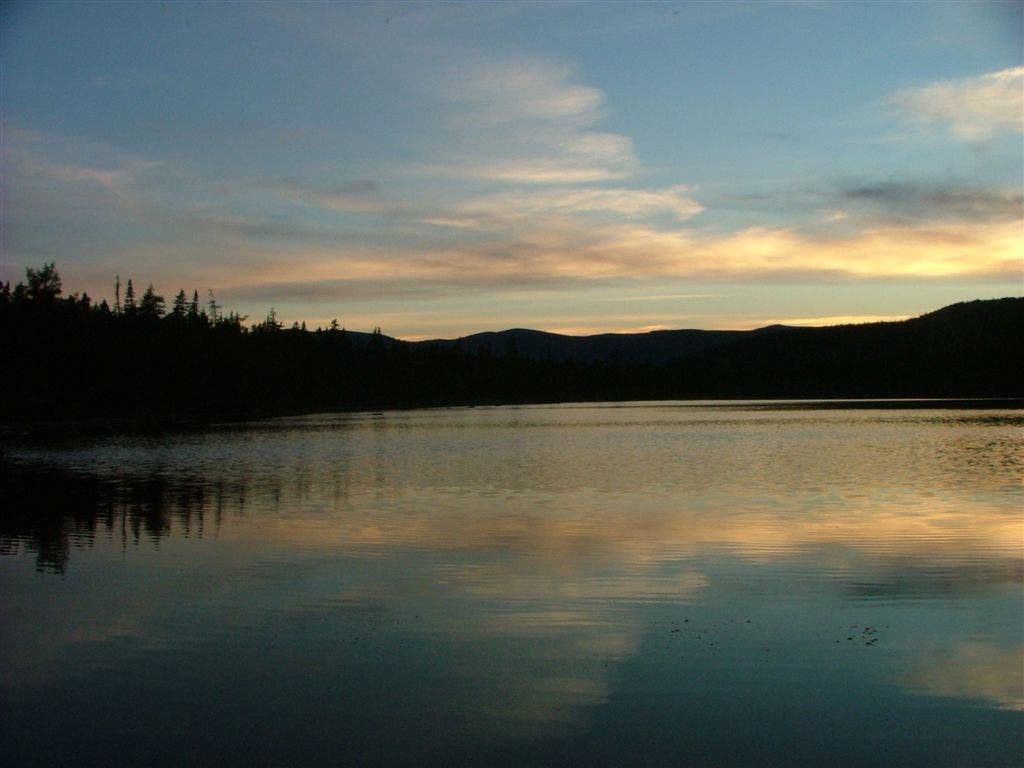
Ethan Pond in White Mountain National Forest
Location: 44.1768493652344, -71.4274673461914