Appalachian Trail: East Flagstaff Road to US 201

Shelters: West Carry Pond Lean-to; sleeps 8. Pierce Pond Lean-to: sleeps 6; privy.
Trail Facts
- Distance: 31.2
Waypoints
WPT012
Location: 45.2402648925781, -70.0382308959961
Trail to pierce pond stream falls .1 mi.
WPT005
Location: 45.239616394043, -70.0530853271484
Waterfalls to the E
WPT010
Location: 45.2405815124512, -70.0388336181641
waterfalls
WPT003
Location: 45.2400016784668, -70.0547027587891
Blue-blaze to brook; water and harrison’s camp
WPT022
Location: 45.1584129333496, -70.0998611450195
Trail to lean-to
WPT006
Location: 45.1761817932129, -70.0763320922852
Arnold Swamp
WPT011
Location: 45.1833839416504, -70.0615844726562
Gravel road
WPT015
Location: 45.1345481872559, -70.1676330566406
Lake inlet Bog Brook
WPT017
Location: 45.2078514099121, -70.0691833496094
AT turns W briefly on blue-blazed trail
WPT010
Location: 45.1784324645996, -70.0725021362305
AT turns W into woods
WPT012
Location: 45.1348152160644, -70.17236328125
East Flagstaff Road
WPT014
Location: 45.241584777832, -70.0293655395508
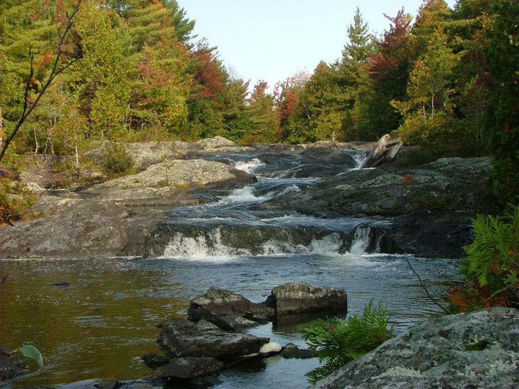
Small falls; stream
WPT007
Location: 45.177848815918, -70.0736999511719
AT turns E on East Carry Road
WPT016
Location: 45.2419013977051, -70.0274963378906
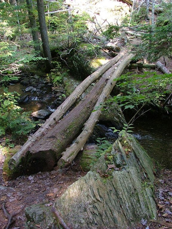
Three pole bridge 10 feet above stream
WPT003
Location: 45.1659507751465, -70.0971527099609
Trail to Arnold Point
WPT018
Location: 45.1558494567871, -70.1544647216797
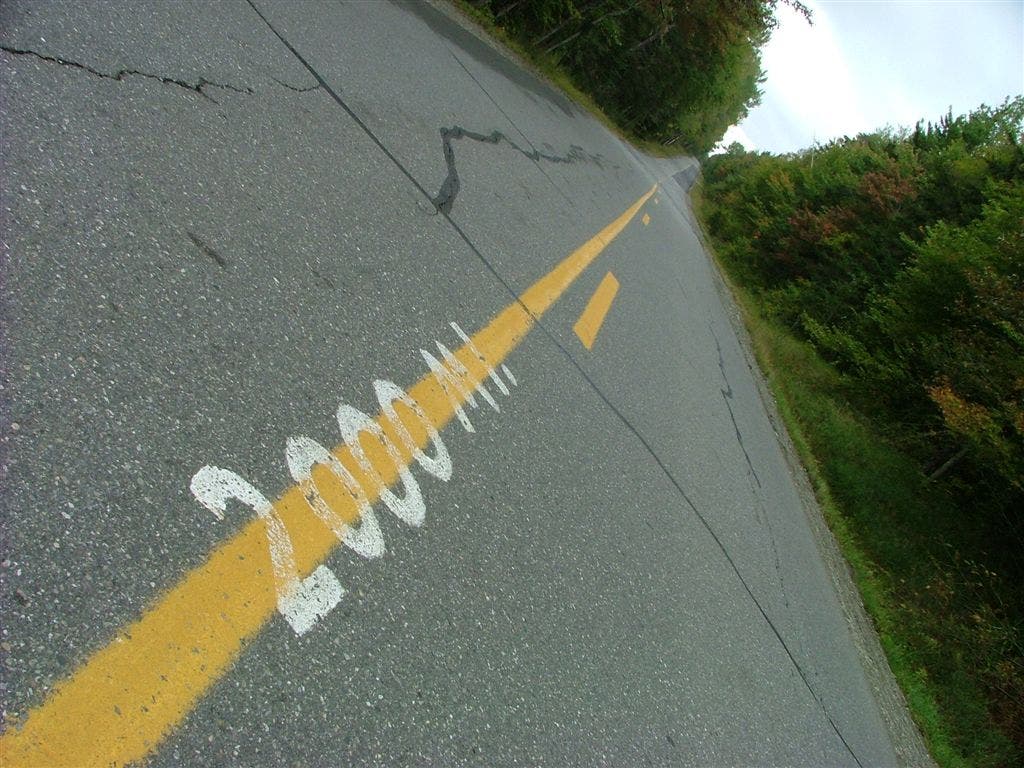
Long Falls Dam Road 2000 mi painted in middle 9263
WPT004
Location: 45.2403831481934, -70.0542678833008
AT over wood dam to Pierce Pond
WPT018
Location: 45.2105484008789, -70.0708312988281
North Branch
WPT019
Location: 45.1561012268066, -70.1535491943359
Jerome brook
WPT023
Location: 45.158016204834, -70.0998306274414
West Carry Pond Lean-to
WPT009
Location: 45.2389984130859, -70.046516418457
Dirt road
WPT017
Location: 45.1383323669434, -70.1684341430664
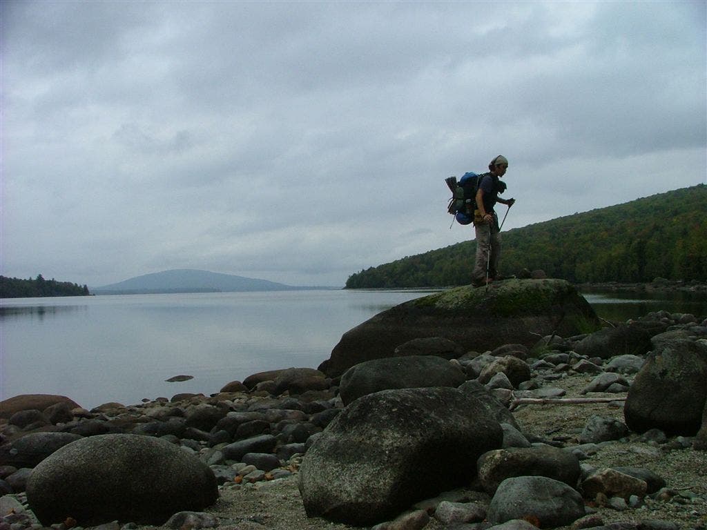
Lake Flagstaff (access)
WPT013
Location: 45.1343154907227, -70.1707992553711
back in woods
WPT020
Location: 45.2396507263184, -70.0558853149414
trail to Pierce Pond Lean-to
WPT016
Location: 45.2057495117188, -70.0730133056641
Swamp
WPT008
Location: 45.1768836975098, -70.07373046875
Sandy Stream
WPT016
Location: 45.1362648010254, -70.1685485839844
Houses to the west
WPT017
Location: 45.2355651855469, -70.0023651123047
Kennebec River South Shore, The official route of the AT across the Kennebec River is using the canoe services of Steve the Ferryman. This river rises and falls rapidly due to the release of water from the dam upstream. Three crows are known to hang around south of this point
WPT012
Location: 45.1841850280762, -70.0593032836914
Swamp
WPT004
Location: 45.1661491394043, -70.0973663330078
Great swimming spot
WPT015
Location: 45.2033500671387, -70.0727996826172
Main Logging Road
WPT006
Location: 45.2388343811035, -70.0511474609375
Trail to harrison’s camps and water .1 mi.
ZZZ019
Location: 45.2381324768066, -69.9965362548828
US 201; parking. AT continues at end of parking lot. Turn R for Caratunk Post Office (.4 mi. one-way)
WPT019
Location: 45.2147064208984, -70.0709533691406
Water source
WPT008
Location: 45.2378845214844, -70.0512161254883
blue blaze back to lean-to
WPT018
Location: 45.2363319396973, -70.0003662109375
Kennebec River North Shore, AT turns W following bank
WPT013
Location: 45.2408485412598, -70.0367202758789
Trail to waterfalls
WPT021
Location: 45.2402496337891, -70.0555191040039
Pierce Pond Lean-to
WPT002
Location: 45.158317565918, -70.0995025634766
AT follows the Arnold Trail where Benedict Arnold marched his army to fight in Quebec
WPT009
Location: 45.1783676147461, -70.0731353759766
Small stream
WPT005
Location: 45.1768493652344, -70.07373046875
AT turns W on Lane Pond Road (dirt)
WPT021
Location: 45.160816192627, -70.1373672485352
Small stream
WPT001
Location: 45.1579818725586, -70.0997009277344
West Carry Pond Lean-to, Water source is a choice btwn the pond and a very low housed spring.
WPT014
Location: 45.1857986450195, -70.0571136474609
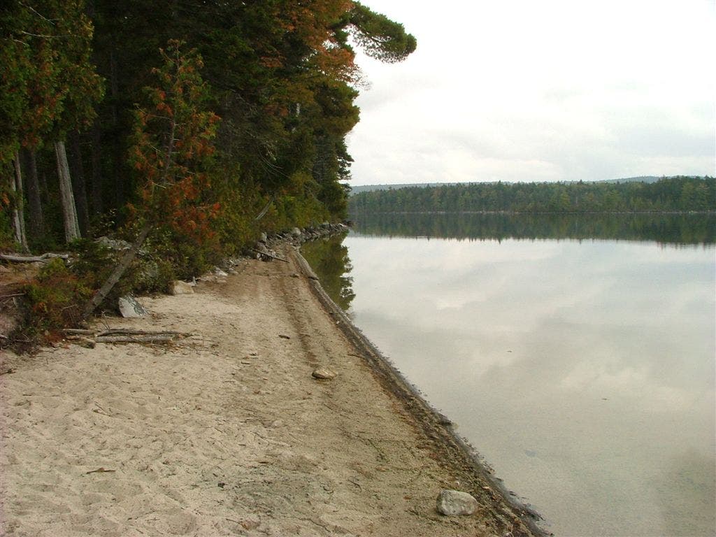
East Carry Pond with sandy beach and great swimming. AT skirts shore of pond for a short distance
WPT007
Location: 45.2375831604004, -70.0506973266602
Harrison’s camps
WPT014
Location: 45.1344680786133, -70.1691513061524
Bog Brook road
WPT015
Location: 45.2416000366211, -70.0279846191406
Scenic Streamside Trail .3 mi.
DSCF9252
Location: 45.1384162902832, -70.1684494018555
DSCF9265
Location: 45.1858329772949, -70.0571136474609
DSCF9286
Location: 45.1665687561035, -70.0867385864258
DSCF9263
Location: 45.1556510925293, -70.1549301147461
DSCF9321
Location: 45.2416839599609, -70.0277633666992