Appalachian Trail: Devil Fork Gap to Sams Gap

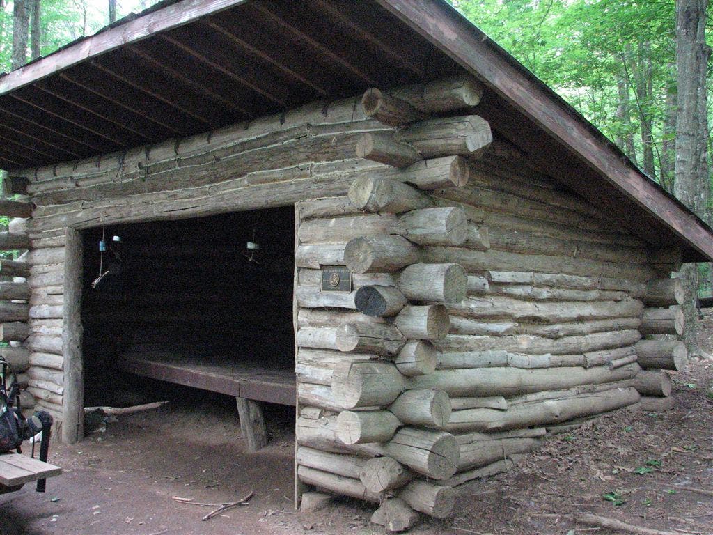
Shelters: Hogback Ridge Shelter: sleeps 6; privy.
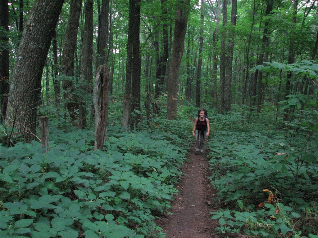
Trail Facts
- Distance: 12.8
Waypoints
WPT033
Location: 35.9539985656738, -82.5614318847656
AT turns E
ZZZ020
Location: 35.9534339904785, -82.5613327026367
I-26; Sams Gap
WPT058
Location: 35.9966506958008, -82.6065826416016
AT switchbacks
WPT065
Location: 36.0021324157715, -82.6062469482422
AT turns W @ jct. with bouble track to E
WPT072
Location: 36.0088844299316, -82.6083526611328
Stile
WPT034
Location: 35.9543342590332, -82.5615158081055
AT turns E; woods and road boundary
WPT039
Location: 35.9642333984375, -82.5781173706055
Side trail to the W
WPT038
Location: 35.9597663879394, -82.5768508911133
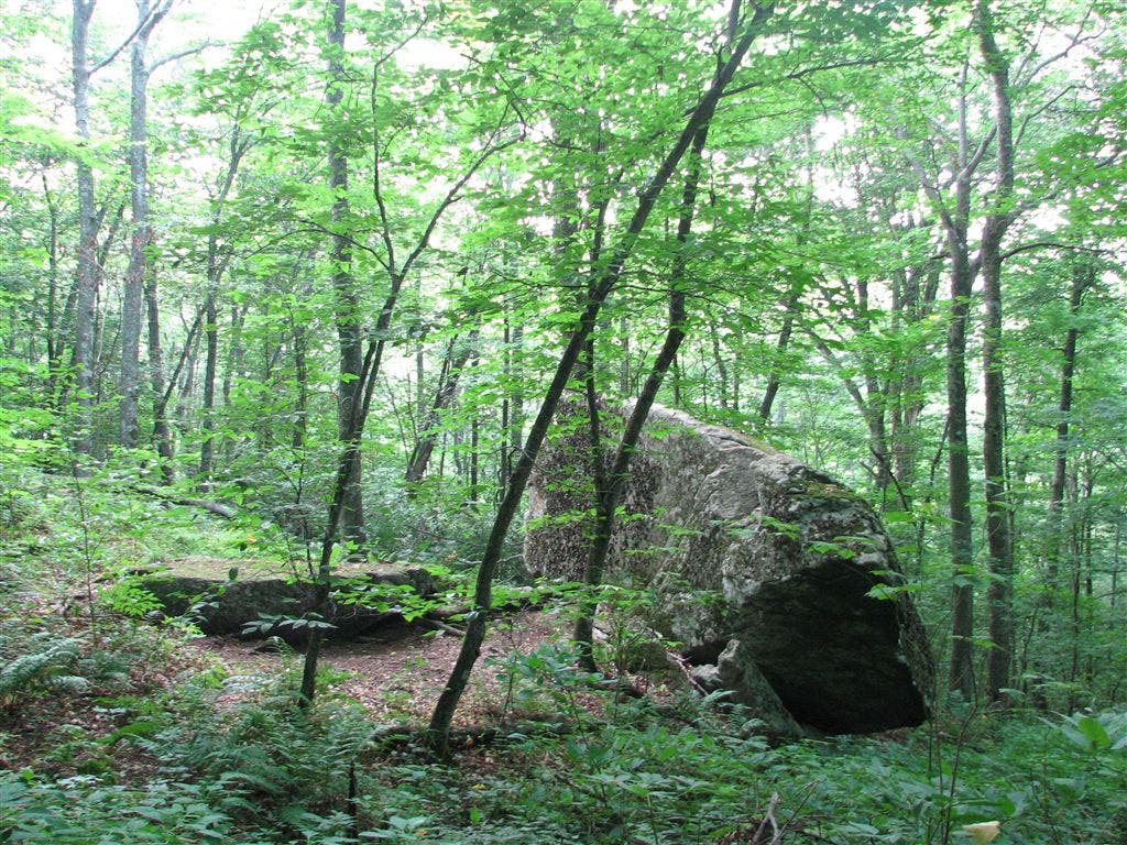
Rock
WPT045
Location: 35.9663009643555, -82.6082992553711
AT turns E @ jct. with double track trail to W
WPT066
Location: 36.0024490356445, -82.6063690185547
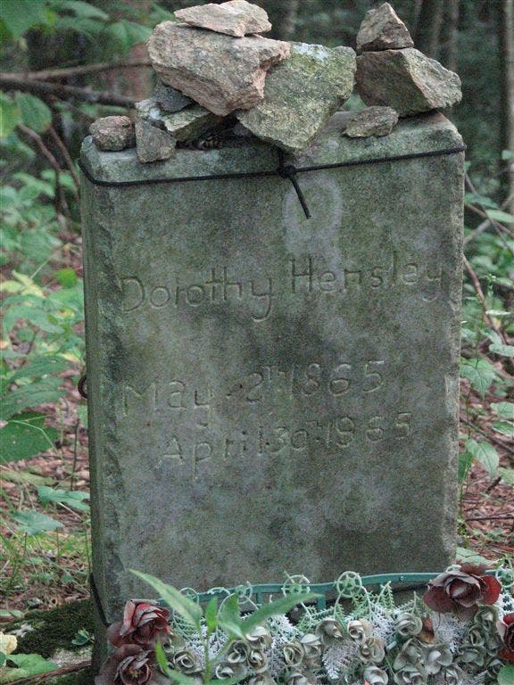
AT turns E; cemetary
WPT056
Location: 35.9910011291504, -82.6064682006836
Double track trail to the W
WPT064
Location: 36.0002822875977, -82.6054534912109
Stream crossing
WPT036
Location: 35.9561653137207, -82.5683670043945
AT turns E (rerouted section) @ jct. with old AT
WPT043
Location: 35.966251373291, -82.603630065918
Rice Gap. AT crosses Rice Creek Rd. (jeep road)
WPT063
Location: 35.9997673034668, -82.6052169799805
Campsite (room for 1 tent)
WPT073
Location: 36.0091323852539, -82.6087036132812
Field (N boundary)
WPT069
Location: 36.002498626709, -82.606330871582
Rector Laurel Rd.
WPT046
Location: 35.9670486450195, -82.611213684082
Double track
WPT061
Location: 35.9981842041016, -82.606315612793
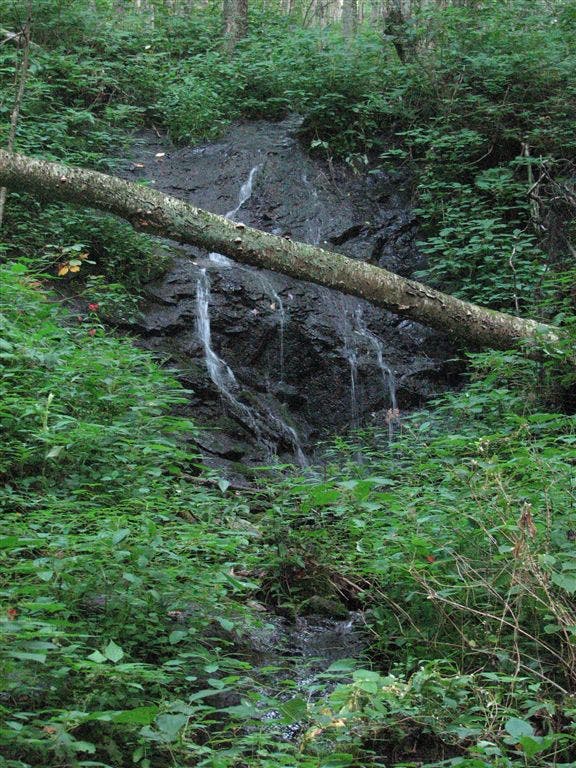
Stream crossing; small falls
WPT049
Location: 35.9809150695801, -82.607780456543
Views to the E; gap
WPT053
Location: 35.9897346496582, -82.6018981933594
Double track
WPT071
Location: 36.0085182189941, -82.6083679199219
Gate
WPT060
Location: 35.9987678527832, -82.6064682006836
AT switchbacks @ trail jct.
WPT037
Location: 35.9576835632324, -82.5708694458008
Campsite (room for 1 tent)
WPT055
Location: 35.9900665283203, -82.6055526733398
Double track; campsite (room for 2 tents)
WPT035
Location: 35.9554176330566, -82.5670471191406
AT turns E (rerouted section)
ZZZ019
Location: 36.0101013183594, -82.6088333129883
Devil Fork Gap; NC 212; stile
WPT048
Location: 35.9789848327637, -82.608512878418
Lick Rock (4,579 ft.)
WPT044
Location: 35.9666481018066, -82.6048812866211
AT turns E @ trail to road
WPT047
Location: 35.9707183837891, -82.6131362915039
Campsite (room for 3 tents)
WPT041
Location: 35.9658164978027, -82.5867156982422
Trail to shelter
WPT057
Location: 35.9926681518555, -82.6087646484375
Campsite (room for 1 tent)
WPT067
Location: 36.002498626709, -82.606330871582
Rector Laurel Rd. (gravel road)
WPT062
Location: 35.9998168945312, -82.6046676635742
Double track
WPT054
Location: 35.9899826049805, -82.6030654907226
Spring
WPT059
Location: 35.9971656799316, -82.6066818237305
AT turns E across stream
WPT068
Location: 36.002498626709, -82.606330871582
Stream crossing
WPT050
Location: 35.9835166931152, -82.6072006225586
Frozen Knob
WPT042
Location: 35.9644165039062, -82.5870361328125
Hogback Ridge Shelter
WPT051
Location: 35.985668182373, -82.6057510375976
AT turns W. Double track
WPT070
Location: 36.002498626709, -82.606330871582
Gate
WPT040
Location: 35.9646682739258, -82.5786819458008
Views to the NE
WPT052
Location: 35.9888153076172, -82.6015014648438
Views of mountains to the NNE
IMG_2558
Location: 36.0025177001953, -82.6063690185547
IMG_2537
Location: 35.9644012451172, -82.5870361328125
IMG_2545
Location: 35.9899826049805, -82.6028137207031
IMG_2555
Location: 35.9981842041016, -82.6062698364258
IMG_2533
Location: 35.9627342224121, -82.5773315429688