Appalachian Trail: Dennis Cove to US 321

Shelters: Laurel Fork Shelter: sleeps 8; no privy
Trail Facts
- Distance: 13.2
Waypoints
WPT052
Location: 36.2701148986816, -82.130729675293
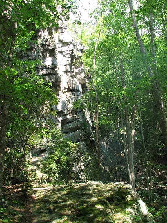
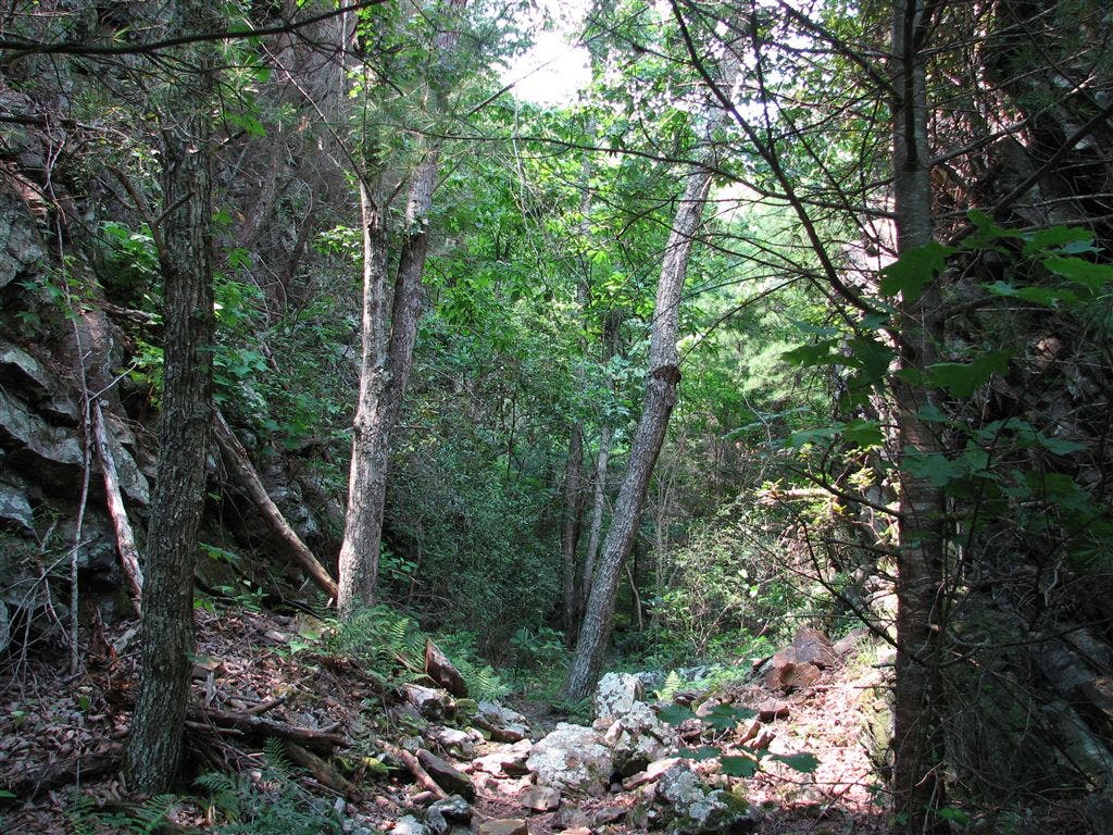
Rock cleft (notch)
WPT028
Location: 36.2857818603516, -82.1379699707031
AT veers E @ jct. with side trail to the W
WPT033
Location: 36.2833824157715, -82.1413497924805
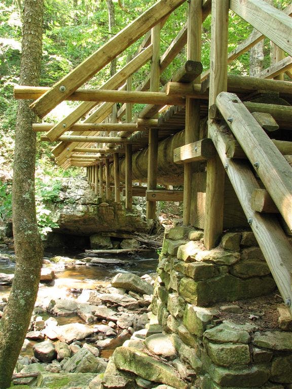
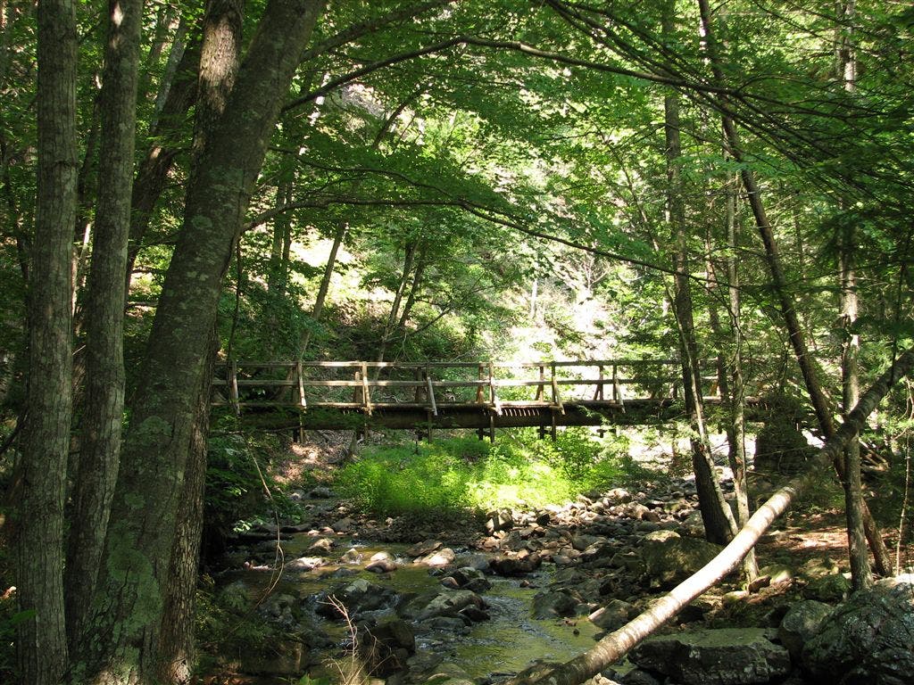
Bridge across Pond Branch
WPT042
Location: 36.2748832702637, -82.1344146728516
Campsite (room for 3 tents)
WPT021
Location: 36.2800827026367, -82.1191329956055
Spring (puddle)
WPT023
Location: 36.284049987793, -82.1275177001953
Horseridge Gap
WPT045
Location: 36.2723159790039, -82.1339797973633
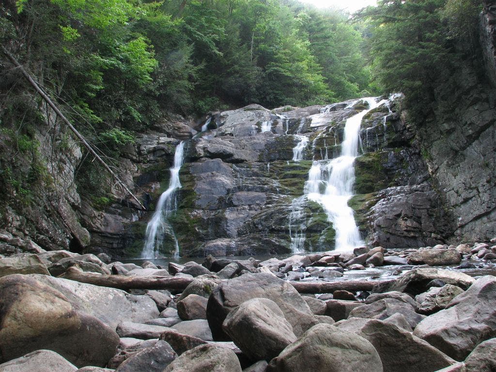
AT turns E @ jct. with blue-blazed trail to falls
WPT029
Location: 36.2840003967285, -82.1396636962891
AT veers W @ jct. with old side trail to E
WPT018
Location: 36.2820320129394, -82.1185531616211
Campsite (room for 3 tents) E for 40 ft.
WPT025
Location: 36.2847328186035, -82.1340484619141
Partial views of Pond Mtn.
WPT039
Location: 36.2796821594238, -82.1387023925781
AT veers E @ jct. with trail heading straight
ZZZ027
Location: 36.264274597168, -82.123291015625
Dennis Cove Rd.; FS 50; parking
WPT024
Location: 36.2841987609863, -82.1295166015625
Horseridge Gap
WPT056
Location: 36.2651176452637, -82.1239166259766
Stream crossing
WPT040
Location: 36.2794151306152, -82.1389846801758
AT veers W
ZZZ028
Location: 36.3018760681152, -82.1280136108398
US 321; Shook Branch Rd.
WPT048
Location: 36.2723846435547, -82.1344680786133
Laurel Fork Falls
WPT030
Location: 36.282283782959, -82.1424026489258
Rock cleft
WPT015
Location: 36.2955322265625, -82.1213989257812
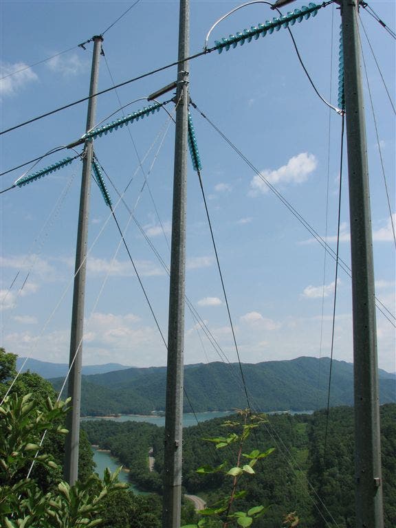
AT turns W @ jct. with blue-blazed trail ledaing to views; powerline
WPT013
Location: 36.3003158569336, -82.1286163330078
AT turns E, then W for 20 ft.; gravel road
WPT038
Location: 36.2797317504883, -82.138313293457
Side trail to the E
WPT051
Location: 36.2707328796387, -82.1317367553711
View of gorge
WPT050
Location: 36.2723999023438, -82.1327514648438
Steep rock steps
WPT026
Location: 36.2848815917969, -82.1356811523438
Partial views to the SSW
WPT054
Location: 36.2670516967773, -82.1253509521484
Pond Mountain Wilderness
WPT031
Location: 36.2822151184082, -82.143684387207
AT switchbacks W; trail to parking @ Braemar
WPT043
Location: 36.2738151550293, -82.1342163085938
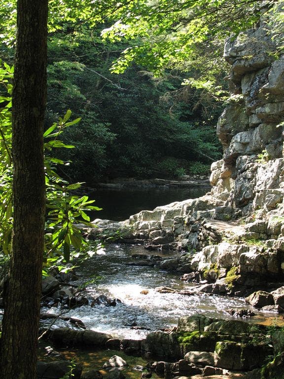
Swimming hole
WPT044
Location: 36.2724494934082, -82.1341323852539
Rock steps lead around 70-ft. wall
WPT020
Location: 36.2802505493164, -82.1186828613281
Unofficial campsite (room for 4+ tents)
WPT032
Location: 36.2817649841309, -82.1427688598633
Pond Branch access
WPT019
Location: 36.2815170288086, -82.1184463500976
Pond Flats
WPT027
Location: 36.2857322692871, -82.1368865966797
Old side trail to the E
WPT017
Location: 36.2825164794922, -82.1185684204102
Campsite (room for 2 tents)
WPT014
Location: 36.2974166870117, -82.1273803710938
Pond Mtn. Wilderness kiosk; register
WPT036
Location: 36.2814483642578, -82.1380310058594
Bridge
WPT035
Location: 36.282299041748, -82.1390838623047
River steps
WPT016
Location: 36.2962989807129, -82.1212997436524
Powerline; views to the N of lake
WPT022
Location: 36.279899597168, -82.1205139160156
Campsite (room for 4+ tents)
WPT055
Location: 36.2657852172852, -82.1241836547852
Campsite (room for 6 tents); river on side
WPT041
Location: 36.2785987854004, -82.1373672485352
AT turns W @ jct. with Laurel Fork Shelter trail; High Water Trail
WPT053
Location: 36.2707328796387, -82.1302337646484
Bridge across pond
WPT037
Location: 36.2808837890625, -82.1376037597656
Campsite (room for 2 tents)
WPT034
Location: 36.2831344604492, -82.1407852172852
Campsite (room for 2 tents)
WPT049
Location: 36.2729988098144, -82.132080078125
AT turns W @ jct. with blue-blazed High Water Trail to the E
IMG_0982
Location: 36.2960014343262, -82.1213836669922
IMG_1012
Location: 36.2724342346191, -82.1340866088867
IMG_1051
Location: 36.2724342346191, -82.1344833374024
IMG_1015
Location: 36.2724342346191, -82.1340866088867
IMG_1006
Location: 36.2826843261719, -82.1398010253906
IMG_0993
Location: 36.2834815979004, -82.1413497924805
IMG_0991
Location: 36.2822151184082, -82.143669128418