Appalachian Trail: Delaware River Bridge to Millbrook-Blairstown Road

Shelters: None


Trail Facts
- Distance: 21.4
Waypoints
WPT053
Location: 41.0319519042969, -74.9985809326172
Trail to campsite
WPT004
Location: 41.0202827453613, -75.0230484008789
Grassy area with views of reservoir
WPT018
Location: 40.9731674194336, -75.126335144043
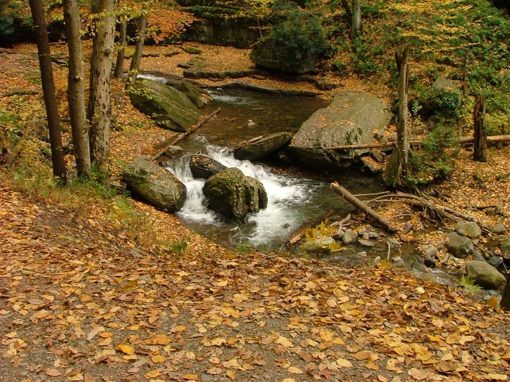
Dunnfield Brook
WPT011
Location: 41.0051651000977, -75.0683517456055
Turquoise Trail
WPT006
Location: 41.0174827575684, -75.0356979370117
AT turns W where Kaiser Trail turns E. View of Delaware River. Bird watchers set up a fake owl to encourage the passing pirds of prey to swoop down for close-up views.
WPT051
Location: 41.0395164489746, -74.9851684570312
Rattlesnake Swamp Trail (orange blazes). View S of Yards Creek Reservoir
WPT003
Location: 41.0230674743652, -75.0162353515625
Trail to campsite
WPT042
Location: 41.0549850463867, -74.9634017944336
Fire road
WPT022
Location: 40.9710502624512, -75.1261367797852
Parking
WPT043
Location: 41.0546836853027, -74.964714050293
AT turns E
WPT021
Location: 40.9717826843262, -75.1245346069336
AT makes big U-turn under I-80
WPT005
Location: 41.0188331604004, -75.0311508178711
Kaiser Trail (blue line plastic blaze)
WPT049
Location: 41.0442657470703, -74.9768295288086
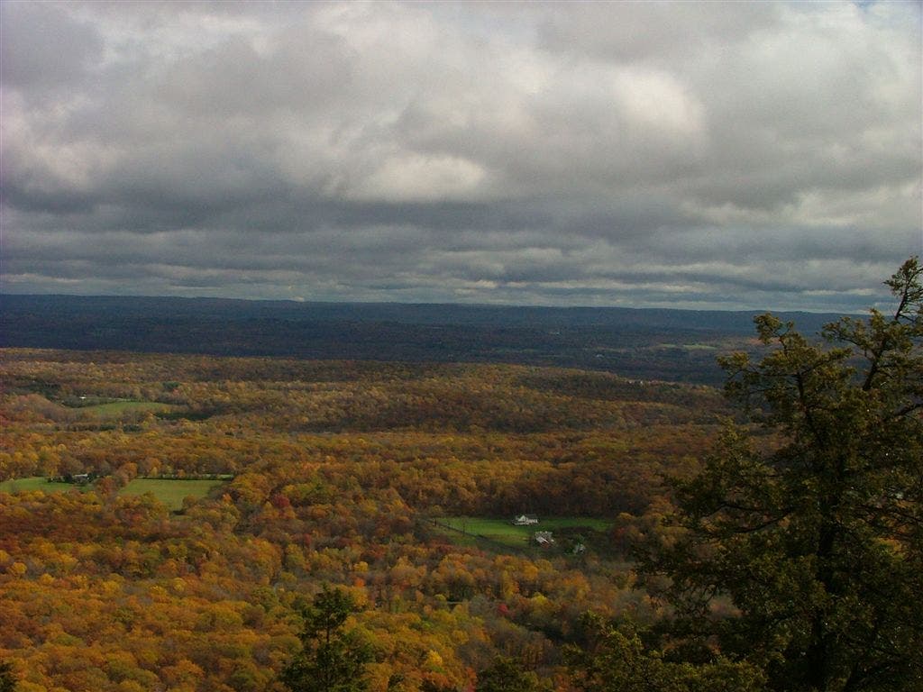
Panoramic views to the S from ridge
ZZZ039
Location: 41.0590667724609, -74.9640197753906
Millbrook-Blairstown Rd./CR 602
WPT010
Location: 41.0093994140625, -75.053352355957
Stream
WPT002
Location: 41.0261650085449, -75.0091018676758
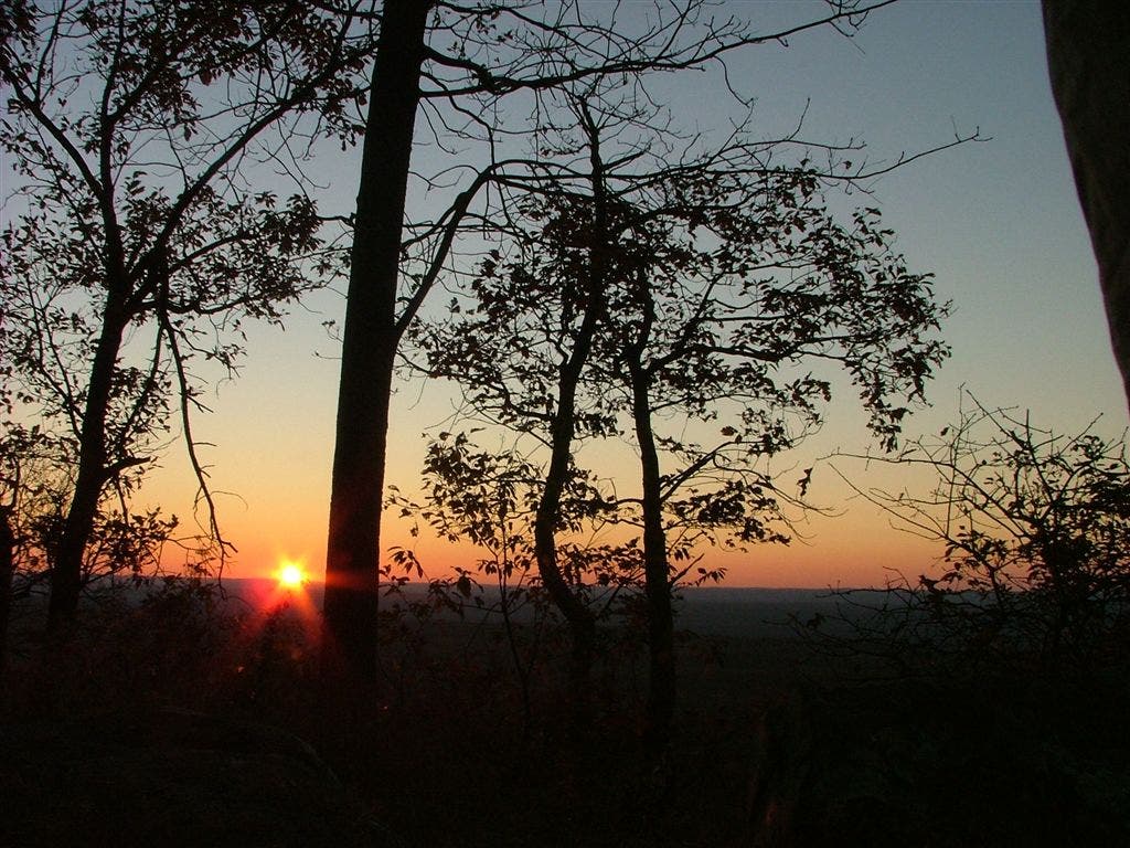
Views from ridge
WPT017
Location: 40.9754981994629, -75.1229629516602
Dunnfield Creek Trail
WPT020
Location: 40.9720687866211, -75.1257934570312
Turn R into parking lot and head to the far left corner (roadwalk)
WPT013
Location: 41.0044174194336, -75.0716171264648
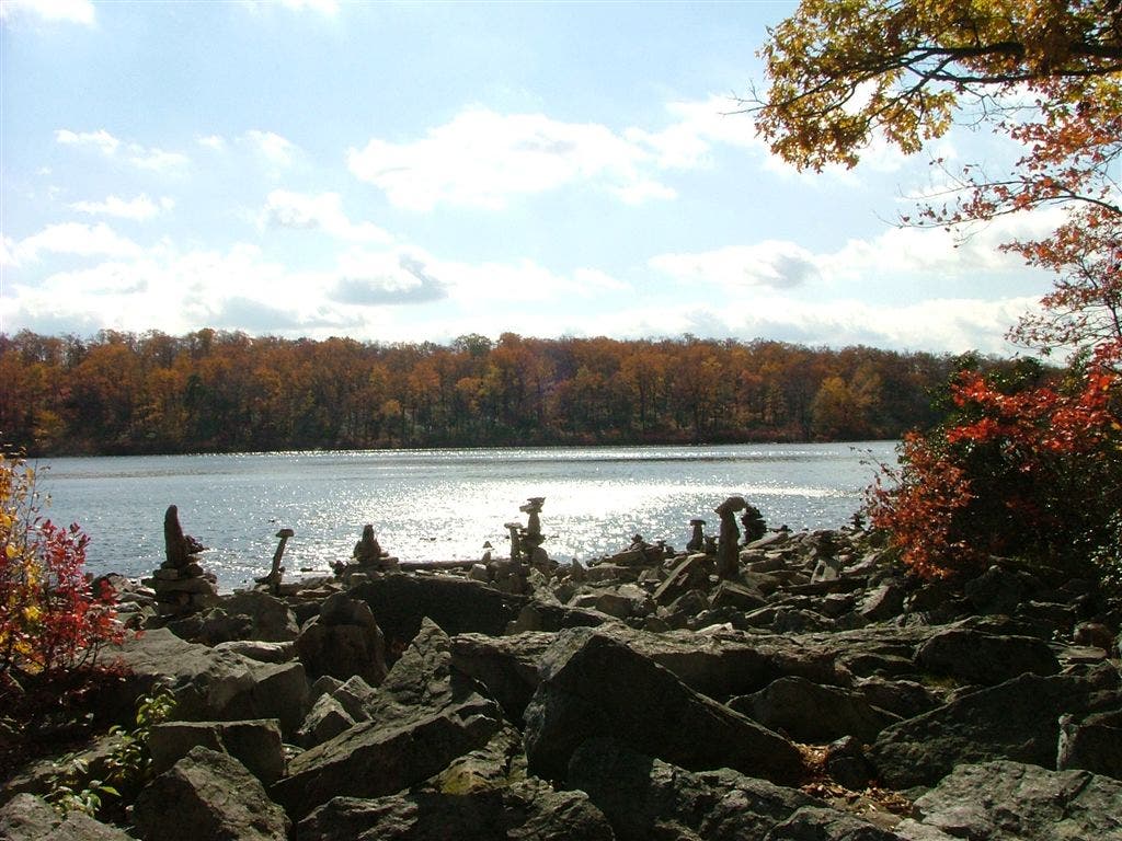
Sunfish Pond; rock cairn art
WPT024
Location: 40.9702339172363, -75.1296157836914
Info building and parking
WPT015
Location: 40.9995498657227, -75.0900192260742
Douglas Trail and Backpacker Campsite
ZZZ026
Location: 40.9821472167969, -75.1376800537109
Turn R to cross Delaware River on Delaware Toll Bridge. Leave PA and enter NJ
WPT009
Location: 41.0140151977539, -75.0444641113281
Telephone line
WPT045
Location: 41.052417755127, -74.9671325683594
AT turns L down fire road briefly before turning R into the woods
WPT040
Location: 41.0572509765625, -74.9647979736328
Stream and telephone line
WPT016
Location: 40.9856986999512, -75.1103134155274
Holly Spring Trail
WPT025
Location: 40.974681854248, -75.1346817016602
Ramp
WPT048
Location: 41.0476150512695, -74.9723663330078
Catfish Fire Tower. AT joins fire road. Look for where the white blazes veer W off road in .15 mi.
WPT054
Location: 41.0322685241699, -75.0049667358398
AT turn E with camp road to the AMC Mohican Outdoor Center (in gap). Cross Yards Creek
DSCF0637
Location: 41.0442657470703, -74.9768295288086
DSCF0650
Location: 41.0394325256348, -74.9851837158203
DSCF0666
Location: 41.0260696411133, -75.0089797973633
DSCF0726
Location: 41.0044326782227, -75.0723648071289
DSCF0736
Location: 40.9755172729492, -75.1230850219726
Views from Kittatinny Ridge in Delaware Water Gap National Recreation Area
Location: 41.0394325256348, -74.9851837158203