Appalachian Trail: Culvers Gap to NJ 23

Shelters: Gren Anderson Shelter; sleeps 8. Mashipacong Shelter; sleeps 8. Rutherford Shelter; sleeps 6.

Trail Facts
- Distance: 21.7
Waypoints
WPT008
Location: 41.1886482, -74.766098
Tower trail (green dot blaze)
WPT022
Location: 41.2192841, -74.7182693
Sunrise Mtn. Rd. to the W. Trail to parking, picnic area, privy and views on Sunrise Mtn.
WPT013
Location: 41.2628517, -74.677948
View; pipeline
WPT005
Location: 41.1994514, -74.7503815
Mud Pit
ZZZ005
Location: 41.3053017, -74.6700974
NJ 23. High Point State Park Headquarters
WPT009
Location: 41.1879654, -74.7664642
Normanook Lookout Tower
WPT018
Location: 41.2361488, -74.7027664
Small stream
ZZZ013
Location: 41.1770515, -74.7910156
Culvers Gap. AT crosses both Sunrise Mtn. Rd. and US 206, zigging E
WPT010
Location: 41.2777481, -74.682251
Trail to Rutherford Shelter
WPT006
Location: 41.1981163, -74.7523499
Stony Brook Trail (brown dot blaze) to Gren Anderson Shelter
WPT012
Location: 41.2678986, -74.6761856
Small stream
WPT016
Location: 41.2521667, -74.6863861
Mashipacong Shelter; Iris Trail
WPT014
Location: 41.2578011, -74.6821136
Iris Trail
WPT008
Location: 41.2886848, -74.6746979
Views to the ESE
WPT007
Location: 41.1975517, -74.7531815
Stream
WPT006
Location: 41.3035927, -74.6717453
Iris Trail
WPT010
Location: 41.1797485, -74.7813644
Views of Culvers Lake
WPT015
Location: 41.2523575, -74.6893463
Deckertown Turnpike and parking
WPT011
Location: 41.2702332, -74.6816483
Iris Trail
WPT009
Location: 41.2800827, -74.6797485
Views to the SSE into NY farmland
WPT020
Location: 41.2215347, -74.7145462
Cartwright Trail (brown/red)
WPT007
Location: 41.2950516, -74.678215
Blue Dot trail
WPT003
Location: 41.2183685, -74.7201691
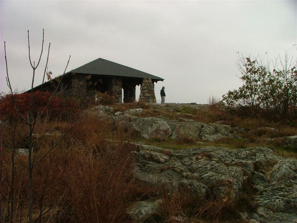
Sunrise Mtn. (1,653 ft.): Views of New Jersey Highlands to the E; Pocono Mtns. to the W. CCC shelter on summit
WPT017
Location: 41.2448845, -74.6915131
Blue blaze
WPT002
Location: 41.2192497, -74.7184143
Trail to Sunrise Mtn.; good views
WPT004
Location: 41.210865, -74.7333298
Tinsley Trail
WPT012
Location: 41.1805496, -74.7878342
Parking
WPT019
Location: 41.2261162, -74.7104645
Crigger jeep road; Howell Trail
WPT011
Location: 41.1816483, -74.7851486
Sunrise Mountain Road
DSCF0608
Location: 41.2182846, -74.7207489