Appalachian Trail: CT 41 to Jug End Road

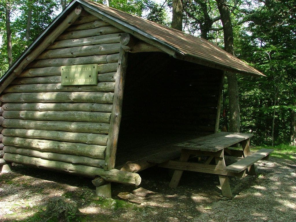
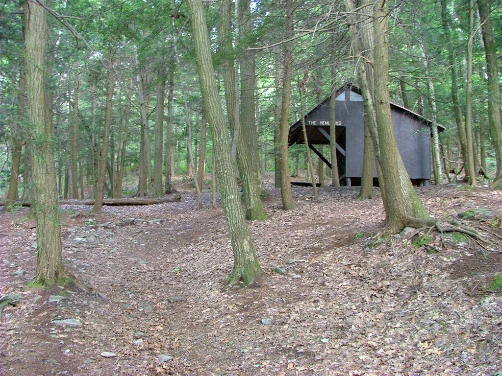
Shelters: Riga Lean-to; sleeps 6. Brassie Brook Lean-to; sleeps 6. The Hemlocks Lean-to; sleeps 10. Glen Brook Lean-to; sleeps 6.

Trail Facts
- Distance: 25.6
Waypoints
WPT011
Location: 42.1059494018555, -73.4340667724609
Mt. Everett Rd. to Guilder Pond Picnic area
WPT003
Location: 42.1190986633301, -73.431282043457
Elbow Trail
WPT001
Location: 42.0156173706055, -73.4519653320312
Riga Lean-to with spring. Only CT lean-to with a view
WPT018
Location: 42.0066184997559, -73.4476852416992
Blue-blazed bypass trail
WPT004
Location: 42.0609016418457, -73.4376678466797
Laurel Ridge campsite (replaces Bear Rock Falls campsite)
WPT007
Location: 42.0471343994141, -73.4531021118164
Steep rock scramble
ZZZ016
Location: 41.9940185546875, -73.4267196655274
CT 41/Undermountain Rd.; Plateau Campsite to L off trail (.8 mi. S to Salisbury, CT)
WPT002
Location: 42.1112670898438, -73.4281311035156
Glen Brook Lean-to: This small, cozy shelter is .1 mi. from Hemlock; just floor, no bunks
WPT002
Location: 42.0521659851074, -73.4469833374024
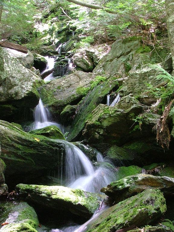
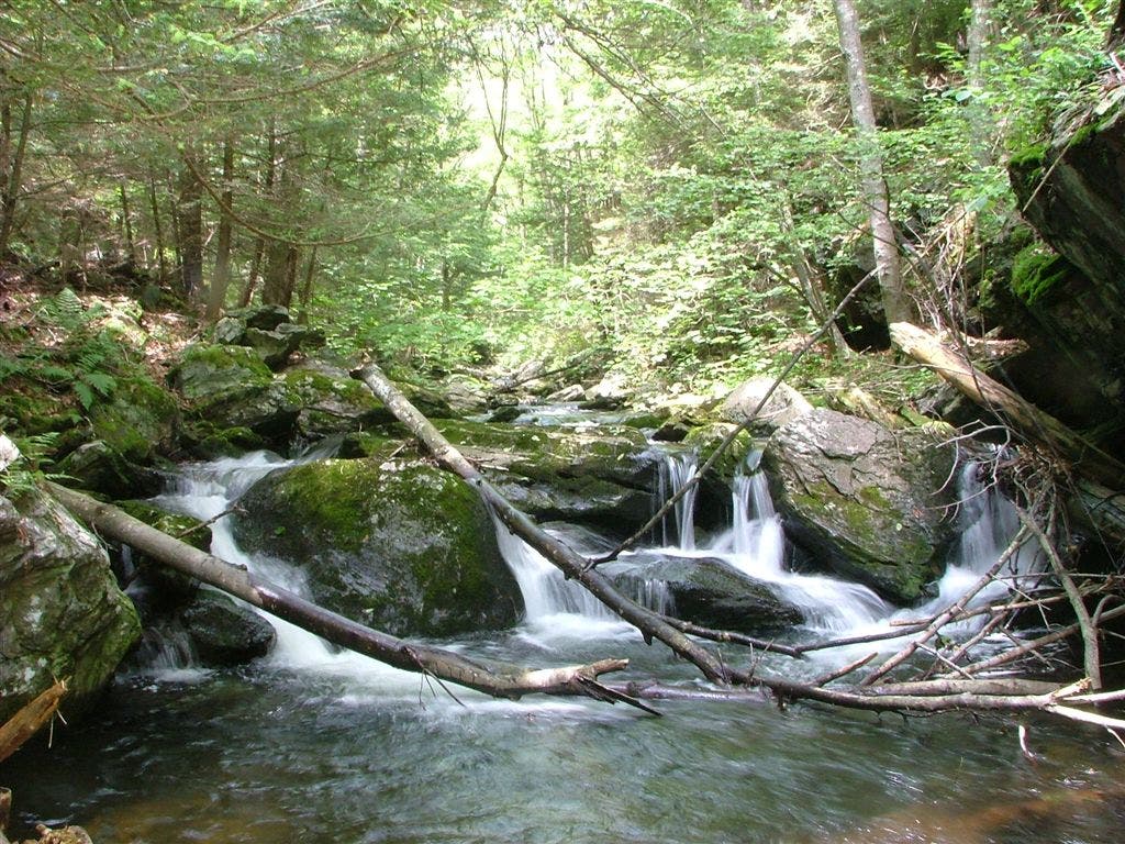
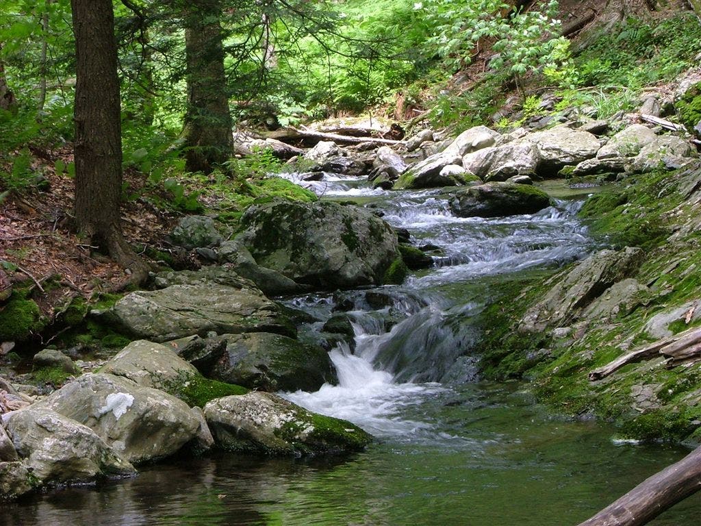
Waterfalls all along ravine with swimming hole. Lush, cool growth surrounds Sages Ravine, a welcome respite to the heat of summer
WPT005
Location: 42.0746002197266, -73.4321365356445
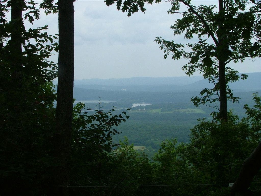
View
WPT006
Location: 42.0449829101562, -73.4544677734375
Bear Mountain: Stone pyramid built on summit
WPT009
Location: 42.0535163879394, -73.4528503417969
Sages Ravine campsite. The AT follows the lush and green Sages Ravine and traces a brook the whole way (with a swimming hole) and bubbling cascades
WPT020
Location: 42.0079650878906, -73.4472503662109
Bypass trail rejoins AT
WPT017
Location: 42.004467010498, -73.4467010498047
Lions Head Trail
WPT004
Location: 42.0284004211426, -73.4534683227539
Brassie Brook Lean-to
WPT009
Location: 42.1019821166992, -73.4326171875
Mt. Everett (2,602 ft.)
WPT007
Location: 42.0822982788086, -73.432014465332
Mt. Race
WPT008
Location: 42.0934982299805, -73.4357833862305
Race Brook Falls Trail
WPT005
Location: 42.0349006652832, -73.4546508789062
Riga Jct.; Undermountain Trail
WPT012
Location: 42.1070175170898, -73.4357986450195
Picnic area
WPT006
Location: 42.0500984191894, -73.4545364379883
CT-MA border
WPT008
Location: 42.0506324768066, -73.4547500610352
Paradise Lane Trail
WPT006
Location: 42.0796012878418, -73.4319534301758
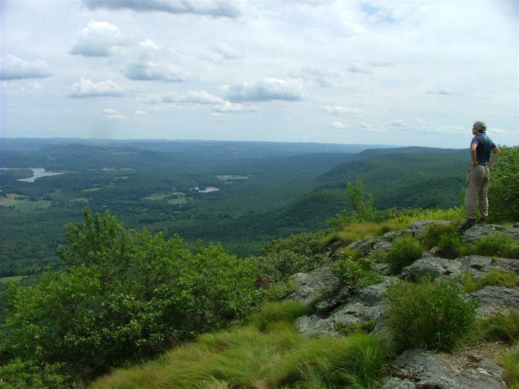
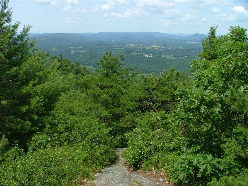
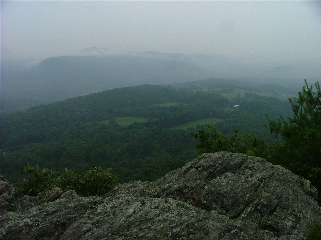
Ridge walk up Mt. Race offers spectacular views
WPT010
Location: 42.1014823913574, -73.4317321777344
Views. Use caution during wet weather on this steep and rocky terrain
WPT001
Location: 42.1098327636719, -73.4291152954102
The Hemlock Shelter: Beautiful shelter with pine trees, pine scent and cool shade
WPT003
Location: 42.0226821899414, -73.4549331665039
Ball Brook campsite
WPT003
Location: 42.0601844787598, -73.4374008178711
Spring
WPT004
Location: 42.1265830993652, -73.4295349121094
View E
WPT019
Location: 42.0066986083984, -73.4461669921875
View from Lions Head
WPT002
Location: 42.021167755127, -73.4546356201172
Ball Brook group campsite
DSCF6372
Location: 42.1036567687988, -73.4318466186524
DSCF6295
Location: 42.0155792236328, -73.4518508911133
DSCF6316
Location: 42.0522766113281, -73.4473342895508
DSCF6334
Location: 42.0743865966797, -73.4321594238281
DSCF6293
Location: 42.0155792236328, -73.4518508911133
DSCF6393
Location: 42.0661163330078, -73.4371032714844
DSCF6389
Location: 42.1097679138184, -73.4292449951172
DSCF6373
Location: 42.1097679138184, -73.4292449951172
DSCF6328
Location: 42.0680046081543, -73.4375915527344
DSCF6258
Location: 42.0066986083984, -73.4461669921875
DSCF6309
Location: 42.0531768798828, -73.4521789550781
DSCF6391
Location: 42.1110649108887, -73.4279022216797