Appalachian Trail: Carvers Gap to US 19E

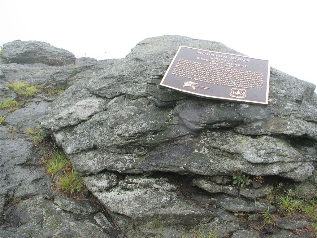
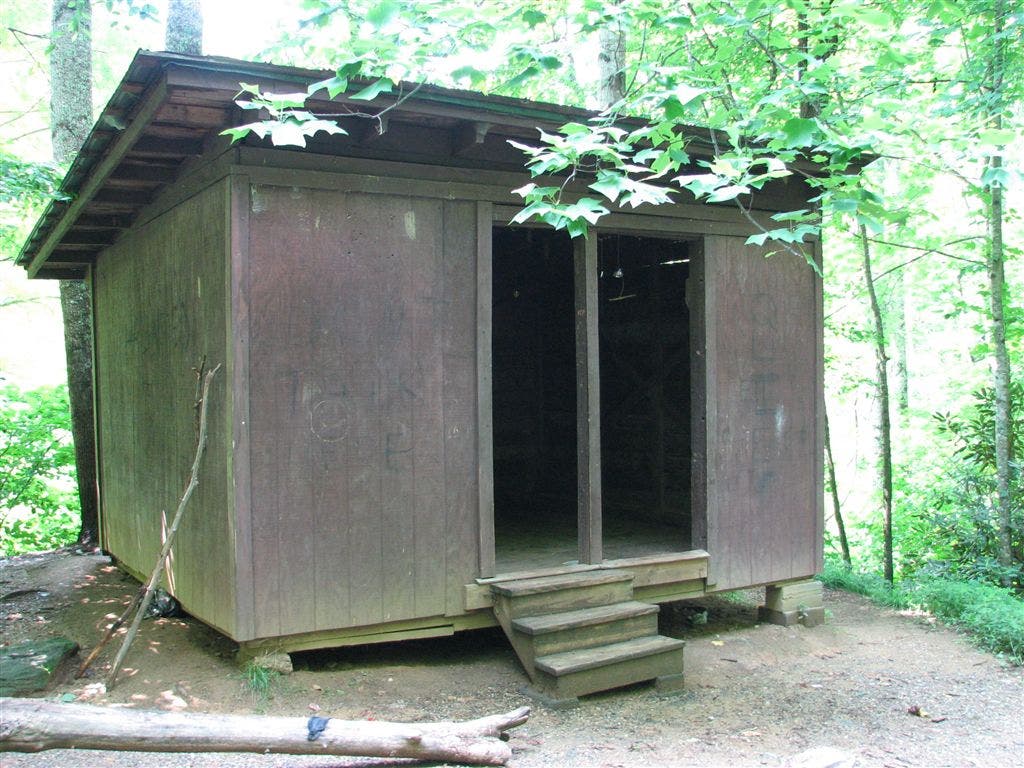
Shelters: Stan Murray Shelter: sleeps 6; no privy. Overmountain Shelter: sleeps 20; privy. Apple House Shelter: sleeps 6; no privy.
Trail Facts
- Distance: 21.8
Waypoints
WPT012
Location: 36.1519317626953, -82.0113296508789
Doll Flats Campsite (room for 6 tents); side trail to the E; NC-TN state line
WPT004
Location: 36.1721839904785, -82.01123046875
Apple House Shelter
WPT021
Location: 36.1234664916992, -82.0406646728516
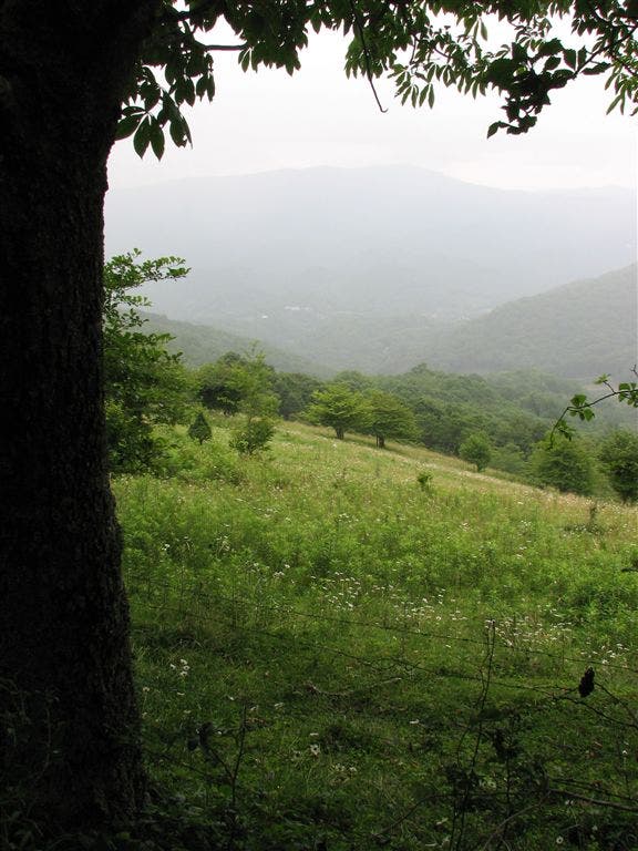
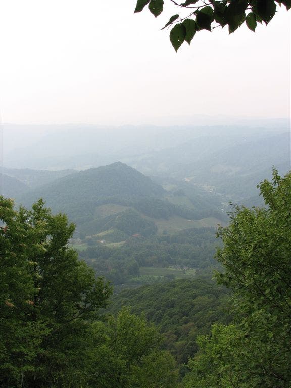
Views to the NNE
WPT008
Location: 36.1384010314941, -82.0154342651367
Gate
WPT019
Location: 36.1208648681641, -82.0357971191406
AT turns W @ jct. with old AT
WPT005
Location: 36.167366027832, -82.0117340087891
Double track
WPT016
Location: 36.1211013793945, -82.0326843261719
AT turns W @ jct. with side trail that continues straight
WPT023
Location: 36.125617980957, -82.0485687255859
Wildflowers
WPT006
Location: 36.1667175292969, -82.011962890625
AT turns W
WPT003
Location: 36.1120681762695, -82.0668487548828
AT turns E @ jct. with trail heading S
WPT006
Location: 36.137565612793, -82.0051498413086
Gate
WPT028
Location: 36.1241760253906, -82.0521774291992
Piped water
WPT012
Location: 36.1277351379394, -82.0271682739258
Saddle; side trail to the E and W to campsite
ZZZ026
Location: 36.1775817871094, -82.0115051269531
US 19 E
WPT008
Location: 36.1544342041016, -82.0158843994141
Stream crossing
WPT015
Location: 36.108283996582, -82.1073837280274
AT switchbacks E
WPT011
Location: 36.1054496765137, -82.0839309692383
N. boundary of Grassy Ridge Bald. AT travels through sweet-smelling conifer forest
WPT015
Location: 36.123966217041, -82.0296630859375
Rocky view
WPT018
Location: 36.1064682006836, -82.1112670898438
Parking and restrooms
WPT024
Location: 36.1257019042969, -82.0504531860352
S boundary tree line
WPT013
Location: 36.125732421875, -82.0284652709961
N boundary bald
WPT010
Location: 36.105583190918, -82.0829010009766
Spring
WPT007
Location: 36.1402320861816, -82.0118179321289
Trail crests Hump Mountain
WPT026
Location: 36.1246185302734, -82.0526504516602
Gravel road; blue-blazed trail to the W
WPT013
Location: 36.1059684753418, -82.0933990478516
Jane Bald
WPT016
Location: 36.1065826416016, -82.1101150512695
Trail to parking
WPT003
Location: 36.1726989746094, -82.0112533569336
Side trail to the E
WPT004
Location: 36.1397018432617, -82.0005187988281
N boundary bald
WPT009
Location: 36.1059989929199, -82.0823364257812
Small stream crossing and possible spring
WPT014
Location: 36.1250839233398, -82.0288848876953
Little Hump Mtn.
WPT012
Location: 36.1055183410644, -82.0853500366211
AT turns W; side trail leads to Grassy Ridge Bald
WPT004
Location: 36.1113662719727, -82.0684814453125
Campsite (room for 4 tents)
WPT022
Location: 36.1254844665527, -82.0453338623047
Tree line
WPT005
Location: 36.1087989807129, -82.0724487304688
Campsite (room for 1 tent)
WPT003
Location: 36.1439323425293, -82.0107803344726
Stream crossing
WPT009
Location: 36.1301651000977, -82.0243530273438
S boundary of bald
WPT025
Location: 36.1257667541504, -82.0511169433594
Yellow Mountain Gap; historic brights trace; blue-blazed trail to shelter
WPT006
Location: 36.1076164245606, -82.0775680541992
Views to the NNE
WPT010
Location: 36.1296005249023, -82.0243682861328
Campsite (room for 3 tents)
WPT009
Location: 36.155517578125, -82.0150527954102
View point; views to the NNW
WPT027
Location: 36.1236152648926, -82.0542144775391
Overmountain Shelter
WPT007
Location: 36.1612663269043, -82.0147323608398
Double track
WPT014
Location: 36.1068649291992, -82.1036682128906
Round Bald
WPT002
Location: 36.1513328552246, -82.0110321044922
Field; views to the E
WPT007
Location: 36.1067848205566, -82.0789489746094
N boundary bald
WPT018
Location: 36.1209487915039, -82.0345840454102
Tree line
WPT011
Location: 36.1291847229004, -82.0248870849609
Side trail to the E to spring
WPT002
Location: 36.1764488220215, -82.0112838745117
Stream crossing
WPT008
Location: 36.1069679260254, -82.0795974731445
Views to the NNE
WPT005
Location: 36.1392517089844, -82.0003356933594
Gate
WPT010
Location: 36.1522178649902, -82.0116653442383
Blue blazes lead W to water
WPT017
Location: 36.1210517883301, -82.0338134765625
S boundary bald
WPT002
Location: 36.1125679016113, -82.0657196044922
Stan Murray Shelter
WPT011
Location: 36.1515502929688, -82.0139007568359
Spring
WPT020
Location: 36.1208992004394, -82.0366363525391
Side trail to the W
IMG_1372
Location: 36.1403007507324, -82.0118865966797
IMG_1362
Location: 36.1376495361328, -82.0016632080078
IMG_1334
Location: 36.1554985046387, -82.0157699584961
IMG_1346
Location: 36.1490669250488, -82.0113143920898
IMG_1323
Location: 36.1720504760742, -82.011100769043
IMG_1722
Location: 36.1127319335938, -82.0616836547852
IMG_1365
Location: 36.1374015808106, -82.0033798217774
IMG_1347
Location: 36.139217376709, -82.0048141479492
IMG_1335
Location: 36.1553497314453, -82.0148696899414
IMG_1353
Location: 36.1388664245606, -82.0006484985352