Appalachian Trail: Allen Gap to Devil Fork Gap


Trail Facts
- Distance: 30.0
Waypoints
WPT017
Location: 36.0629653930664, -82.6298522949219
Clearing
WPT032
Location: 36.0564994812012, -82.6554641723633
Side trail to the W @ Chestnutlog Gap
WPT010
Location: 36.045482635498, -82.61181640625
AT turns E @ jct. with trail to campsite (room for 1 tent)
WPT008
Location: 36.0002174377441, -82.7721328735352
Campsite (room for 2 tents)
WPT023
Location: 36.0661849975586, -82.6322326660156
Blue-blazed bypass trail
WPT077
Location: 36.0151176452637, -82.6114196777344
AT turns W; double track
WPT018
Location: 36.0661315917969, -82.6322174072266
AT turns E @ jct. with jeep road that leads to graves. Squibbs Creek Trail to the W
WPT033
Location: 36.0565338134766, -82.6570129394531
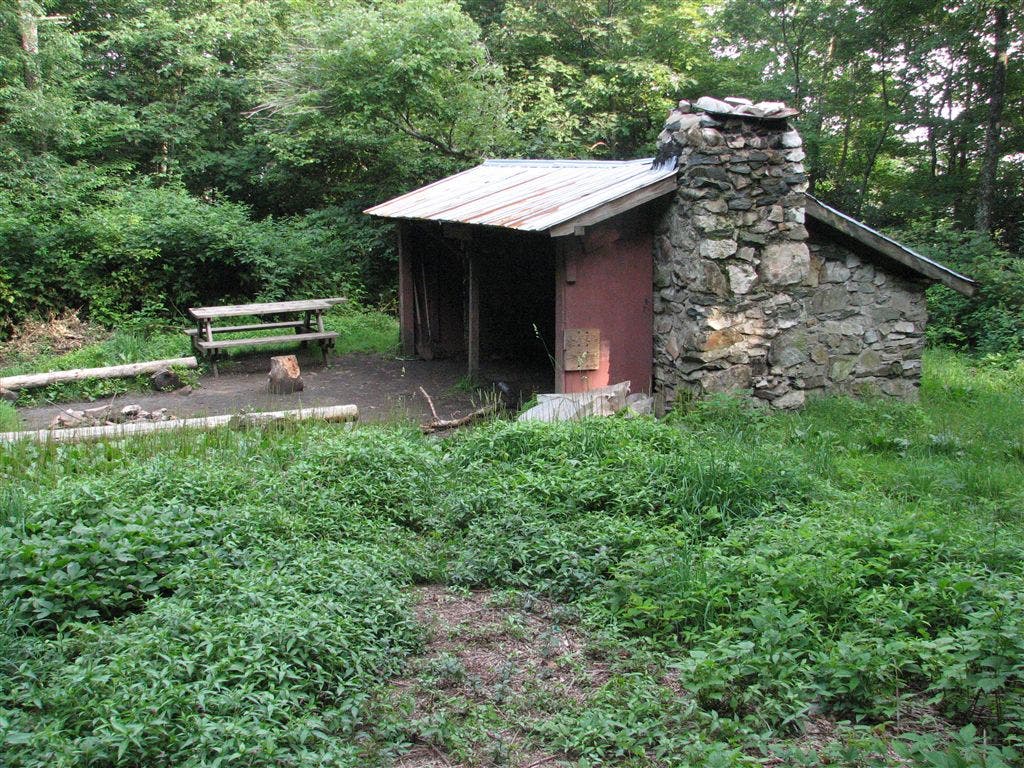
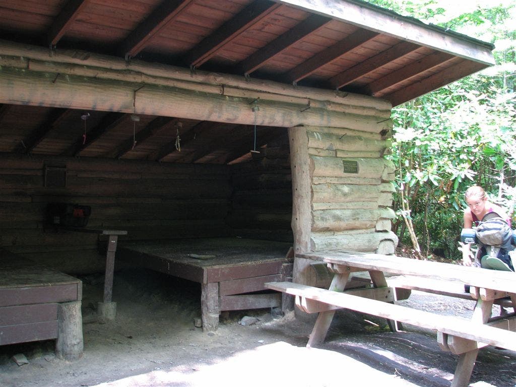
Jerry Cabin Shelter
ZZZ019
Location: 36.0101013183594, -82.6088333129883
Devil Fork Gap; NC 212; stile
WPT006
Location: 36.0150337219238, -82.7358856201172
Little Laurel Shelter; Dixon Trail to W
WPT015
Location: 36.0551681518555, -82.6186981201172
Blue-blazed trail to E
WPT005
Location: 36.0351486206055, -82.5967330932617
AT straight @ jct. with double track
WPT046
Location: 36.0333824157715, -82.7011642456055
Blue-blazed trail to the W
WPT019
Location: 36.0660667419434, -82.6327514648438
AT turns E @ jct. with blue-blazed trail which continues straight for shelter bypass trail
WPT076
Location: 36.0108489990234, -82.6093826293945
Campsite (room for 2 tents)
WPT038
Location: 36.0466995239258, -82.6811828613281
Blue-blazed trail to the W; bad weather trail; Fox Cabin Gap
WPT003
Location: 36.0218505859375, -82.716552734375
Pounding Mill Trail to the E leads to viewing tower (may be locked)
WPT009
Location: 36.0432319641113, -82.607536315918
Double track trail to the W
WPT025
Location: 36.0661010742188, -82.6370849609375
Plaque and ashes
WPT041
Location: 36.0387649536133, -82.6888809204102
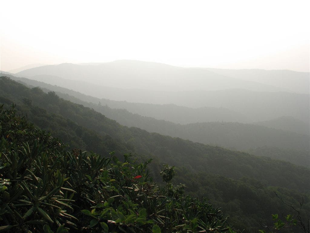
Bumpy Valley view point
WPT013
Location: 36.0525169372559, -82.6178665161133
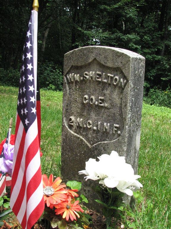
AT turns W and leaves dirt trail to Shelton Graves
WPT049
Location: 36.0312004089356, -82.7023849487305
Campsite (room for 3 tents)
WPT028
Location: 36.0633506774902, -82.6421203613281
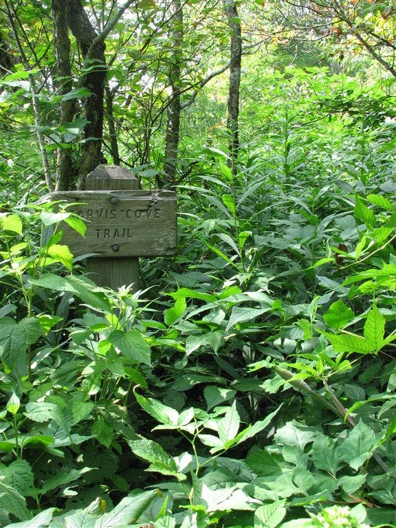
Sarvis Cove trail to W
WPT020
Location: 36.0658683776856, -82.6328811645508
Side trail leads W to view from Big Rocks
WPT056
Location: 36.0234985351562, -82.7154006958008
Firetower (may be locked)
ZZZ018
Location: 35.9870491027832, -82.7868499755859
Allen Gap crossing; NC 208 S/TN 70 N
WPT006
Location: 36.0400161743164, -82.602165222168
Campsite (room for 3 tents)
WPT026
Location: 36.0651168823242, -82.6385803222656
Jeep road
WPT010
Location: 35.9941825866699, -82.7788848876953
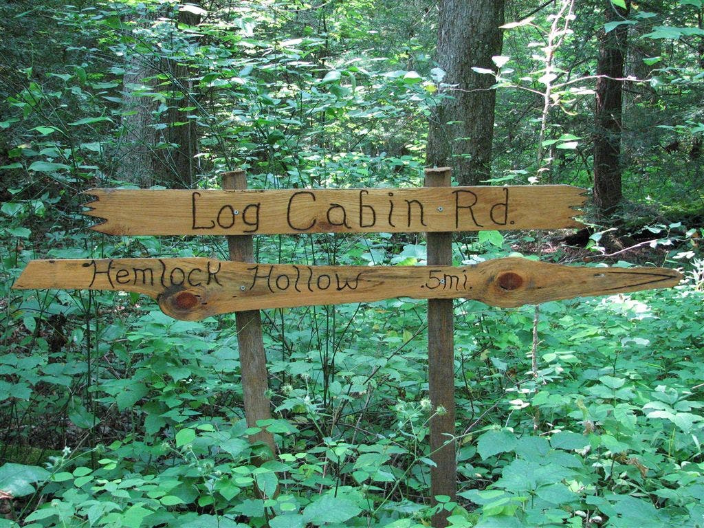
20-ft. side trail leads to Log Cabin Rd.
WPT039
Location: 36.0443840026856, -82.6850814819336
Views to the NNW
WPT027
Location: 36.0644683837891, -82.6398315429688
Big 20 ft. boulder; climb
WPT022
Location: 36.0658683776856, -82.6330032348633
Big Rocks and Big Butt
WPT007
Location: 36.0157661437988, -82.7348861694336
Piped spring
WPT075
Location: 36.0105323791504, -82.6087036132812
AT turns E
WPT044
Location: 36.0341148376465, -82.7008819580078
Trail to Blackstack Cliffs
WPT031
Location: 36.0593681335449, -82.6481018066406
S end of field
WPT012
Location: 36.0511665344238, -82.6177673339844
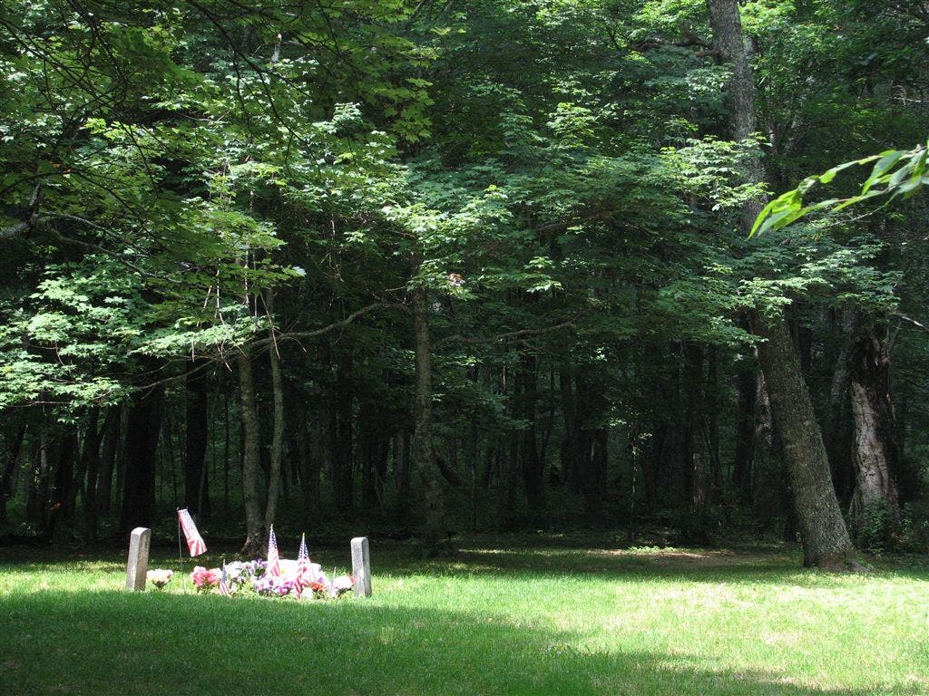
Shelton Graves; large clearing
WPT016
Location: 36.0564346313477, -82.6189498901367
Campsite (room for 2 tents)
WPT055
Location: 36.0215339660644, -82.7163314819336
Embarq tower
WPT021
Location: 36.0654678344727, -82.6336975097656
Rock jumble
WPT008
Location: 36.0413513183594, -82.6067962646484
AT turns W @ jct. with double track for shelter
WPT024
Location: 36.0658988952637, -82.6358871459961
Jeep road
WPT042
Location: 36.0351982116699, -82.6984176635742
AT turns E; bad weather trail
WPT043
Location: 36.0347518920898, -82.6983871459961
Bearwallow Gap
WPT045
Location: 36.0337677001953, -82.7010803222656
Side trail to the W
WPT052
Location: 36.026798248291, -82.7118301391602
AT turns W @ jct. with trail that continues straight towards Jones Meadow
WPT034
Location: 36.0558815002441, -82.6599349975586
Blue-blazed trail to the E; Fork Ridge Trail
WPT011
Location: 36.0483512878418, -82.6167526245117
Yellow-blazed Green Trail leads E
WPT014
Location: 36.0533485412598, -82.6182174682617
AT joins road. AT turns W to blackberry bush
WPT029
Location: 36.0632514953613, -82.6428527832031
AT turns E. Side trail continues straight
WPT036
Location: 36.0522346496582, -82.6713027954102
Bald Mtn. AT follows ridgetop. Round Knob Trail to the W
WPT003
Location: 36.0344657897949, -82.595832824707
Stream crossing
WPT002
Location: 36.0230674743652, -82.7160491943359
Pass red and white painted tower
WPT005
Location: 36.0150833129883, -82.7343826293945
Campsite (room for 1 tent)
WPT048
Location: 36.0317497253418, -82.7006301879883
Whiterock Cliff; views to SE
WPT040
Location: 36.0413017272949, -82.6860198974609
N is exposed; views NNW
WPT047
Location: 36.0321502685547, -82.7008361816406
Whiterock Cliff
WPT007
Location: 36.0400505065918, -82.6028671264648
NF boundary
WPT037
Location: 36.0491981506348, -82.6759185791016
Lick Log Gap
WPT004
Location: 36.0348167419434, -82.5965194702148
Flint Mtn. Shelter
WPT009
Location: 35.9990348815918, -82.775032043457
Log Cabin Rd. leads .5 mi. W to Hemlock Hollow Farm Shoppe and Cabins (campsites with wash house and showers; heated cabins with refrigerator and microwave)
WPT053
Location: 36.0267677307129, -82.7119979858398
Piped spring
WPT051
Location: 36.0276985168457, -82.7113800048828
Side trail to the W
WPT050
Location: 36.0311164855957, -82.7027969360352
Spring; puddle
WPT054
Location: 36.0215339660644, -82.7161331176758
Pounding Mill Trail E; blue-blazed trail to tower W
WPT030
Location: 36.0629997253418, -82.6434173583984
N end of field
IMG_2582
Location: 36.0452690124512, -82.6824111938476
IMG_2640
Location: 36.062915802002, -82.6436996459961
IMG_2650
Location: 36.0563850402832, -82.6584854125976
IMG_2706
Location: 36.0385818481445, -82.6891860961914
IMG_2660
Location: 36.0439987182617, -82.6852645874024
IMG_2569
Location: 36.0352325439453, -82.5967636108398
IMG_2789
Location: 35.99853515625, -82.775749206543
IMG_2785
Location: 36.0151329040527, -82.7359848022461
IMG_2575
Location: 36.051399230957, -82.6178665161133
IMG_2694
Location: 36.0404167175293, -82.686882019043
IMG_2616
Location: 36.0654678344727, -82.6336822509766
IMG_2747
Location: 36.031867980957, -82.70068359375
IMG_2745
Location: 36.031867980957, -82.70068359375