Apostle Islands, WI: Lakeshore Trail

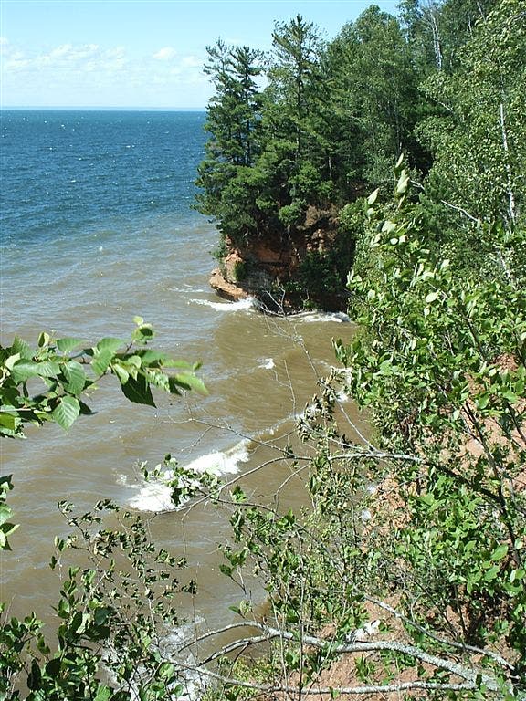
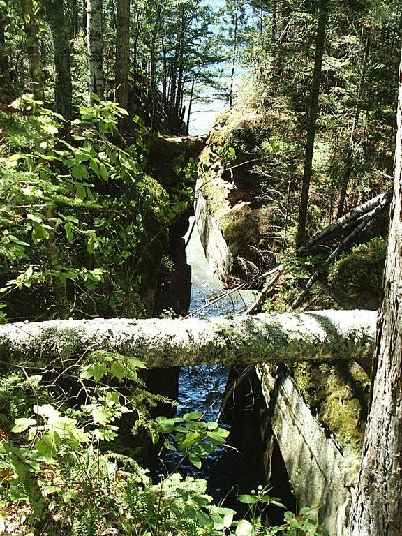
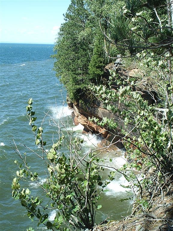
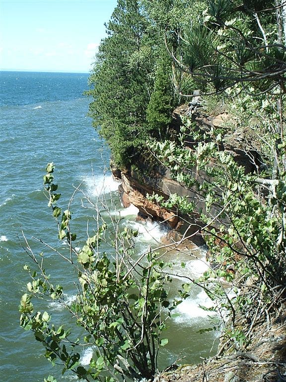
The sandstone formations along Wisconsin’s Lake Superior shoreline are the highlight of this route. Begin at Meyers Beach and head east along the edge of the Bayfield Peninsula through hardwood forests fringed with pines. A few easy stream crossings and short, steep drainage climbs within the first 1.5 miles lead to views of the lake and the Mawikwe Bay sea caves. Crashing waves and shifting ice carved the sandstone caves along the waterline, making them inaccessible from the bluff-top trail, but kayakers explore them on calm summer days. During winter, hikers take to the frozen surface of Lake Superior to explore the hanging icicles up close. Use caution: The erosion that carved the caves and a natural bridge along this section of the lakeshore is also a hazard to view-seeking hikers. Keep track of wandering children, stay off the natural bridge and away from cliff edges.
After more than a mile along the bluff, the trail winds away from the shoreline through birch, aspen, and maples for another 1.8 miles before this route drops 80 feet to a sandy beach. You can follow this route along the beach for half a mile before seeking out the official trail again, or stay inland and hit the beach just before the campsite at mile 5.3. The bluff-side site provides a good night’s sleep: it is equipped with bear boxes, shielded by wind-breaking fir trees, and within earshot of the crashing waves.
Note: There is a year-round daily parking fee at Meyers Beach and reservations and a permit are required for camping. Make reservations and check trail (and ice) conditions with the Park Service at (715) 779-3397 or www.nps.gov/apis.
-Mapped by Steffan Fay
Trail Facts
- Distance: 17.1
Waypoints
LST001
Location: 46.8831177, -91.0478134
The trail begins at Meyers Beach and heads east into dense woods.
LST002
Location: 46.8849335, -91.0422363
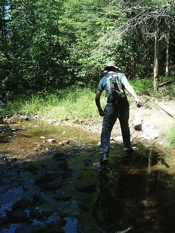
Descend into a gully for an easy stream crossing.
LST003
Location: 46.8890839, -91.0381317
The trail crosses a sandy road 0.8 mile from the trailhead.
LST004
Location: 46.8909836, -91.0358353
An easy crossing of this seasonal drainage may or may not get your feet wet.
LST005
Location: 46.8960838, -91.0354691
Catch the first glimpse of the mainland caves from the bluff-top trail.
LST006
Location: 46.8993988, -91.0356674
The trail veers inland to skirt this chasm (50 feet deep and more than 200 feet long).
LST007
Location: 46.90345, -91.0335312
Look north east for more great views of the honeycombed shoreline caves.
LST008
Location: 46.9077644, -91.0250549
Leave the bluff and follow the trail inland through the forest.
LST009
Location: 46.9146843, -90.9995804
The official trail is difficult to follow through the forest. This route turns left at the dirt road toward the easy-to-follow shoreline.
LST010
Location: 46.9164848, -90.9974365
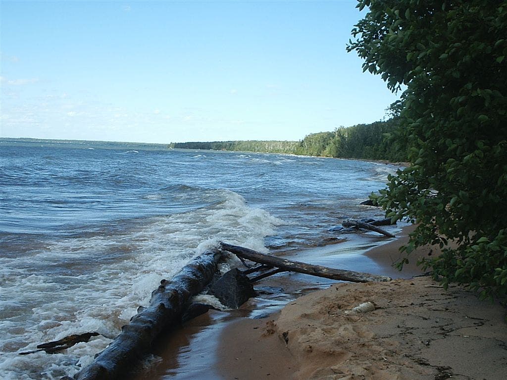
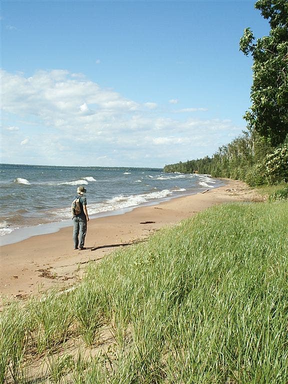
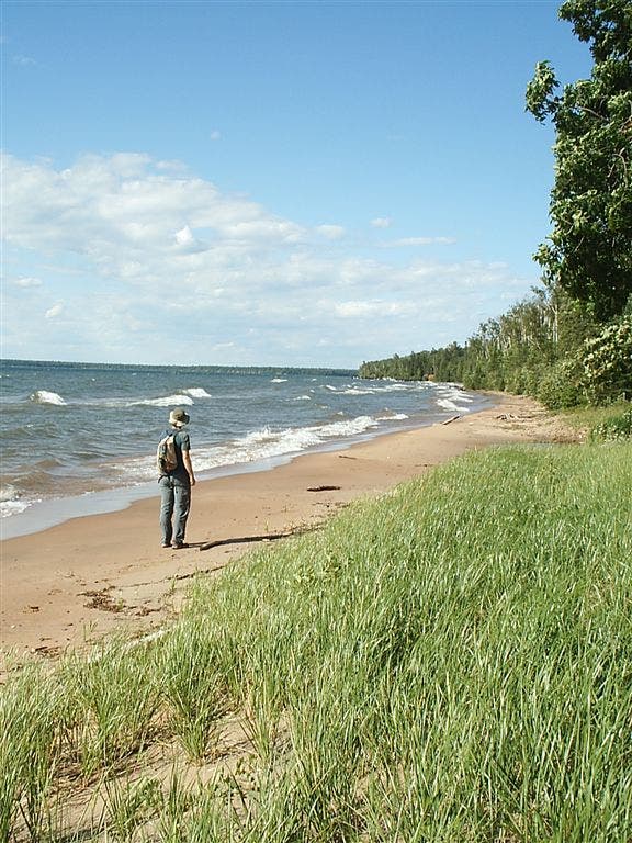
Drop down this 80-foot bluff to a lovely sand beach. Turn right to continue east and north along the shoreline.
LST011
Location: 46.9202003, -90.9916306
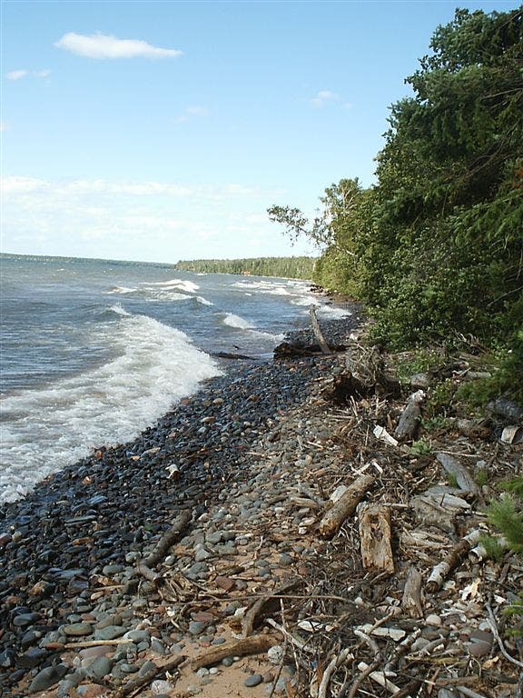
As the beach turns to cobble, re-enter the woods, cross a footbridge and join the main trail for the final 0.5 mile to the campsite.
LST012
Location: 46.9247513, -90.9856339
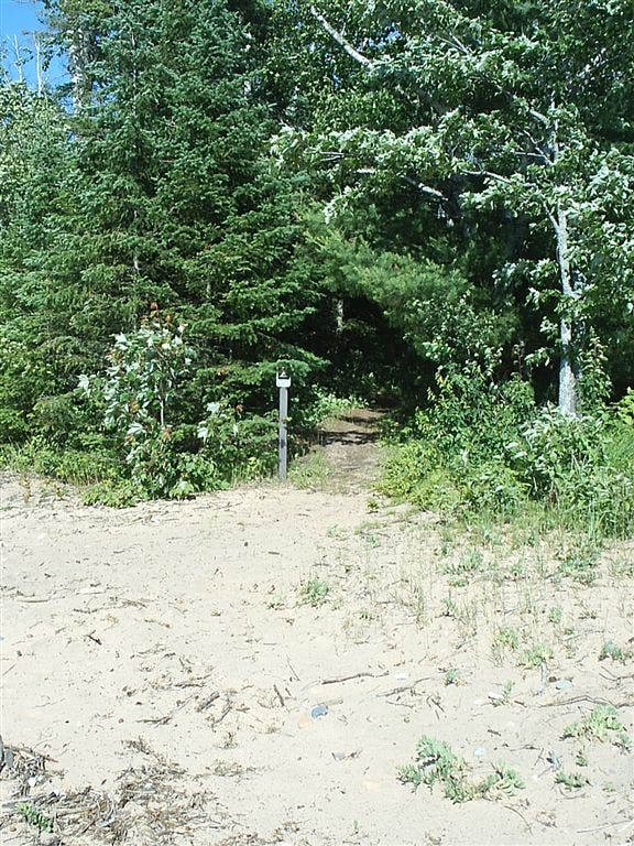
Turn right at the beach.
LST013
Location: 46.9251175, -90.9852982
Cross the small stream along the beach. The campsite is just ahead.
LST014
Location: 46.9253502, -90.9847183
The protected campsite sits on a bluff that rises 10 feet above and 20-30 feet east of the lake. Return route: Follow the same route back to the trailhead.
Stream Crossing
Location: 46.8845253, -91.0413361
The first stream crossing is just a few hundred yards from the trailhead.
Vegetation
Location: 46.8902168, -91.0376511
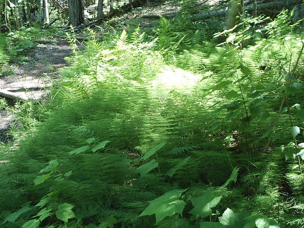
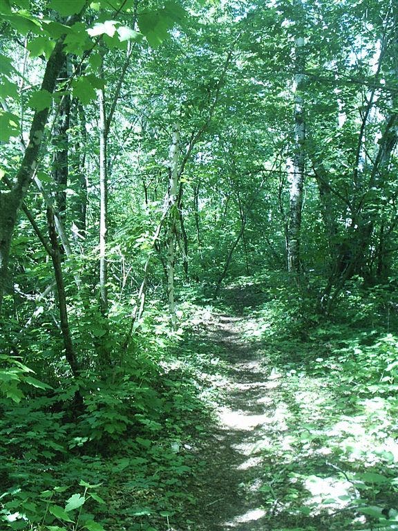
This area of Wisconsin is characterized by new-growth, mixed northern hardwood forests. There are several common species including: ferns, aspen, birch, and a variety of maple.
Climbs
Location: 46.8903542, -91.0374146
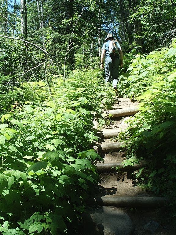
There are several dips and climbs through drainages along the trail.
Seasonal Water
Location: 46.8909645, -91.0355682
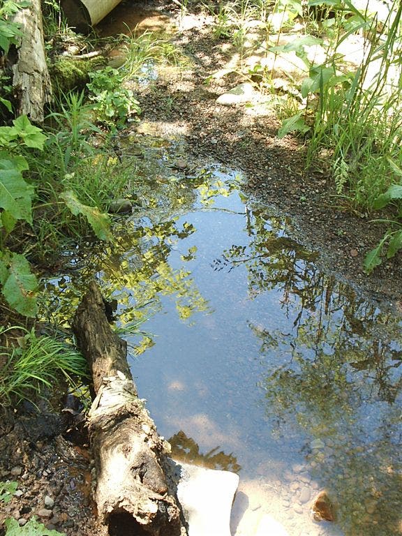
Streams in this area can be seasonal and may disappear toward the end of summer.
Lake View
Location: 46.8963432, -91.0352173
Views of Lake Superior and the sea caves reward at the top of the bluff.
Natural Bridge
Location: 46.8993645, -91.0353928
This natural bridge has outlasted erosion and spans the 50-foot depth of this water-carved chasm.
Overlook
Location: 46.9013557, -91.0350647
Several overlooks along the bluff-top section of trail offer amazing Lake Superior views.
Sea Caves
Location: 46.901577, -91.0349121
Pounding wave action continues to carve the honeycombed chambers of the Mawikwe Sea Caves.
Sea Caves
Location: 46.9033356, -91.033287
The tinted sandstone and spray rainbows combine for a colorful scene.
Forest Trail
Location: 46.9119873, -91.0131073
The shaded forest trail is relatively flat and mellow.
Beach
Location: 46.9168282, -90.9973373
A short descent off the trail leads to a long, sandy beach.
Beach
Location: 46.9202805, -90.9919739
A westward view of the beach.
Cobble Beach
Location: 46.9205437, -90.9913025
This cobble marks the end of this beach section. Turn back into the woods to rejoin the main trail here.
Boardwalk
Location: 46.9201889, -90.9908447
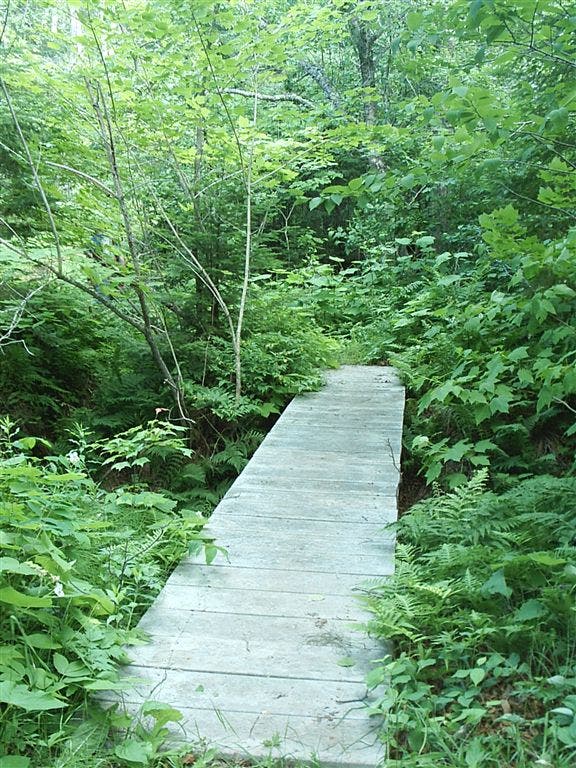
This boardwalk joins the beach and the main trail. Note the overgrown foliage that can make the trail difficult to follow.
Campsite Beach
Location: 46.9247322, -90.9850922
This beach marks the end of the established trail and is just near the campsite area.
Campsite Beach
Location: 46.9247971, -90.9846649
The beach near the campsite
Campsite Trail
Location: 46.9249268, -90.9842377
This short trail leads to the bluff-top campsite, a stone-throw away from the lakeshore.