Published September 20, 2013 03:30PM
Anchorage: Primrose Trail
This old mining trail offers a 6-mile out-and-back on the shaggy, rugged Kenai Peninsula.
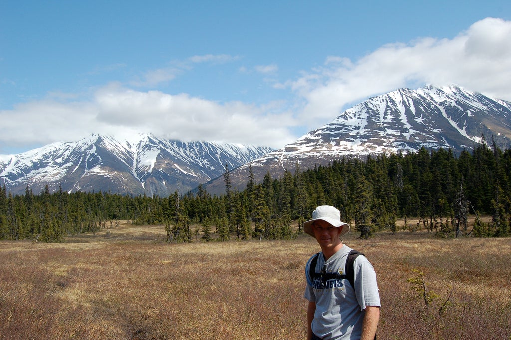
'Brian/flickr'
Trail Facts
- Distance: 5.7
Waypoints
PTA001
Location: 60.3398704528809, -149.37336730957
Walk through camping area to trailhead
PTA002
Location: 60.3340263366699, -149.378112792969
Cross creek on plank footbridge
PTA003
Location: 60.3341484069824, -149.380874633789
Bear R @ junction with snow-machine trail
PTA004
Location: 60.3325843811035, -149.385955810547
Meadow opens to L as trail begins to rise
PTA006
Location: 60.3257789611816, -149.401809692383
Spur trail on R leads down to small waterfall, great spot for lunch
PTA007
Location: 60.3217582702637, -149.402969360352
Beware of rocky patch on trail immediately after log footbridge
PTA008
Location: 60.3080787658691, -149.408996582031
Log bridge crosses burbling creek
PTA009
Location: 60.3093910217285, -149.411911010742
Break in trees offers clear view of mountains
PTA010
Location: 60.3089332580566, -149.413299560547
Cabin marks site of active mining claim (private property) and beautiful lake view. Trail proceeds to Lost Lake, good turn around spot
PTA005
Location: 60.3259773254394, -149.399627685547
Cross plank footbridge