Anchorage, AK: Bird Point

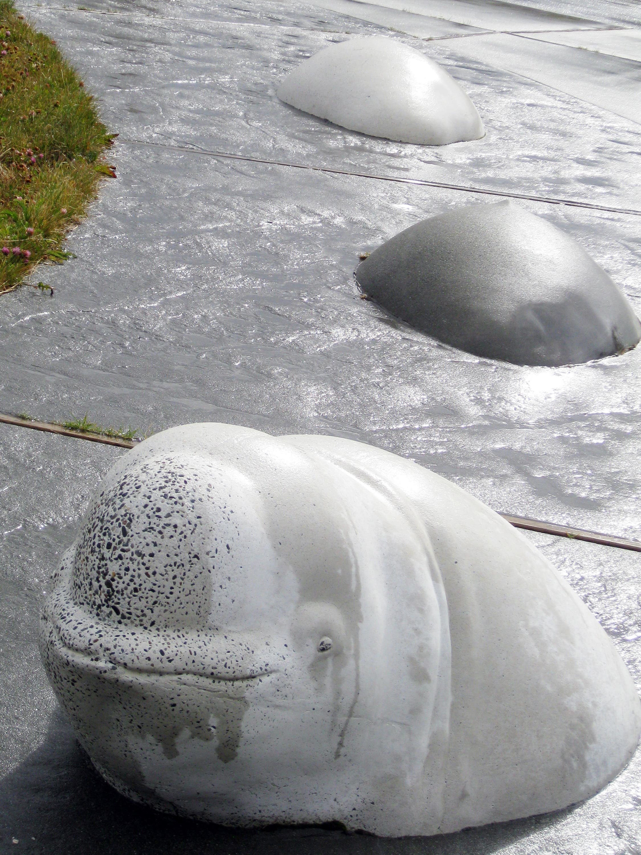
This easy, 1.9-mile hike on Bird Point visits a viewpoint overlooking Turnagain Arm and tours a short section of the Indian-to-Girdwood bike path. From the large parking area on the south side of the Seward Highway, pick up the paved connector path that travels past several beluga whale sculptures.
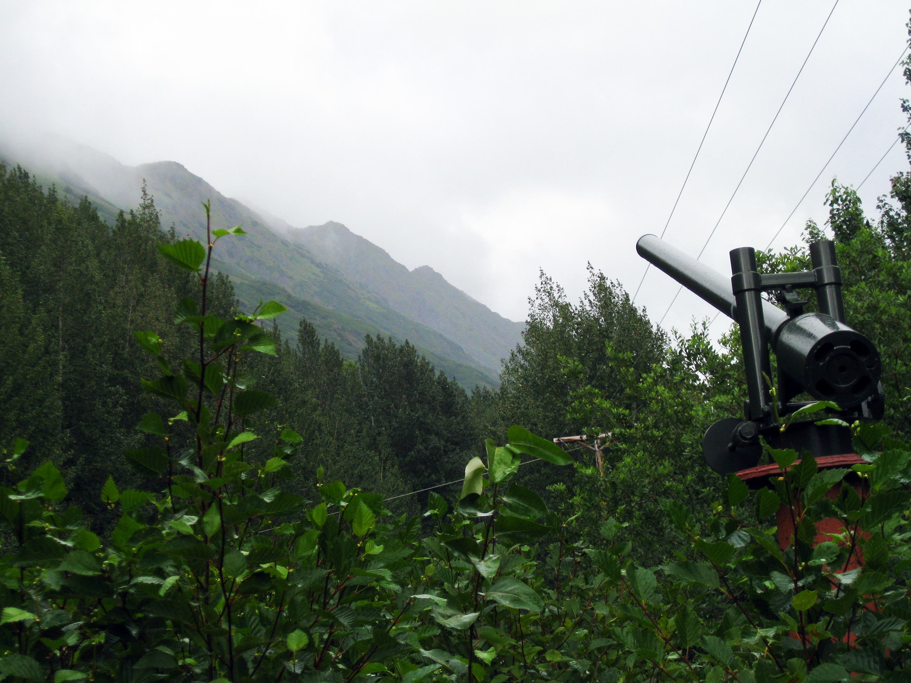
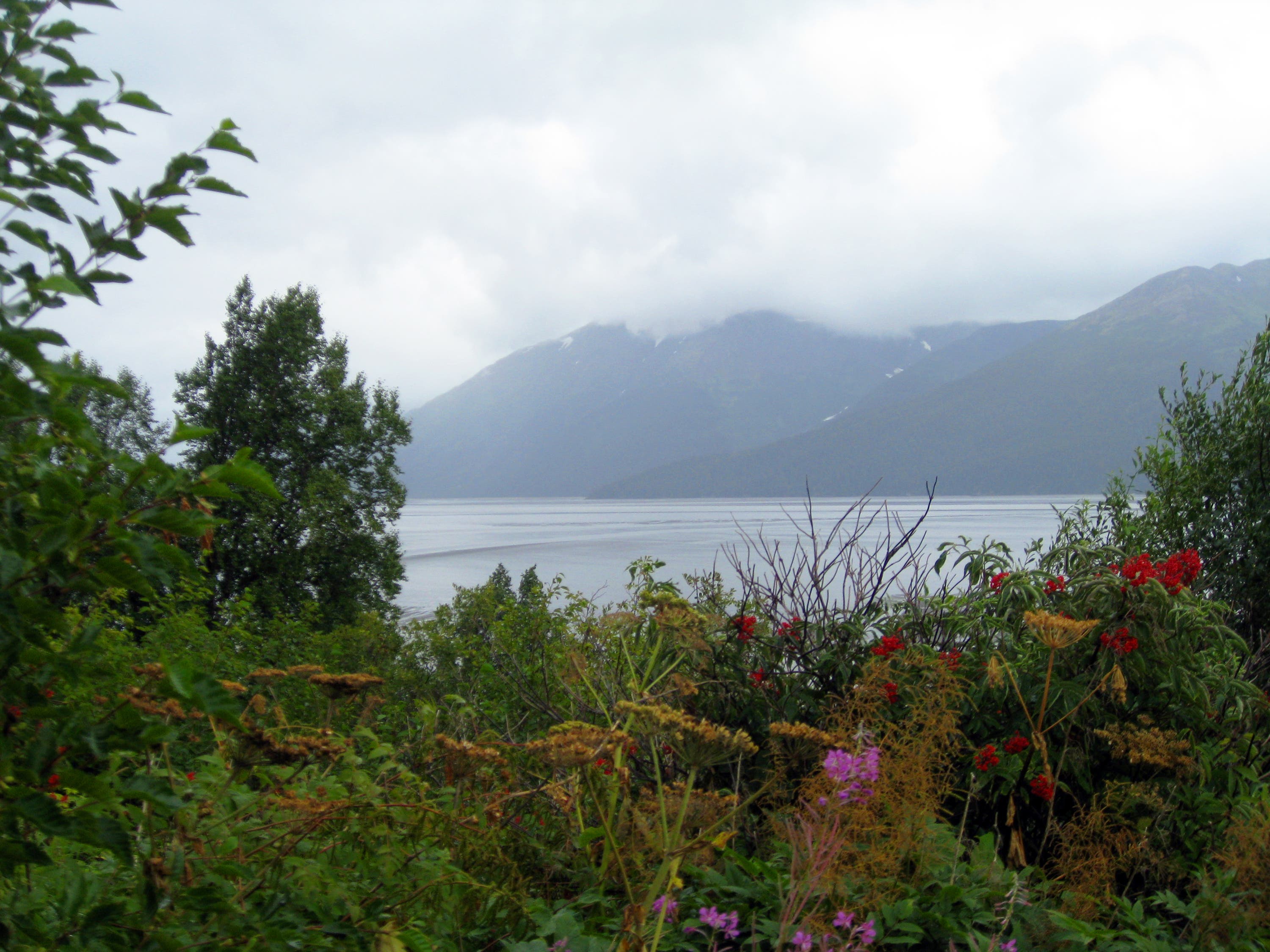
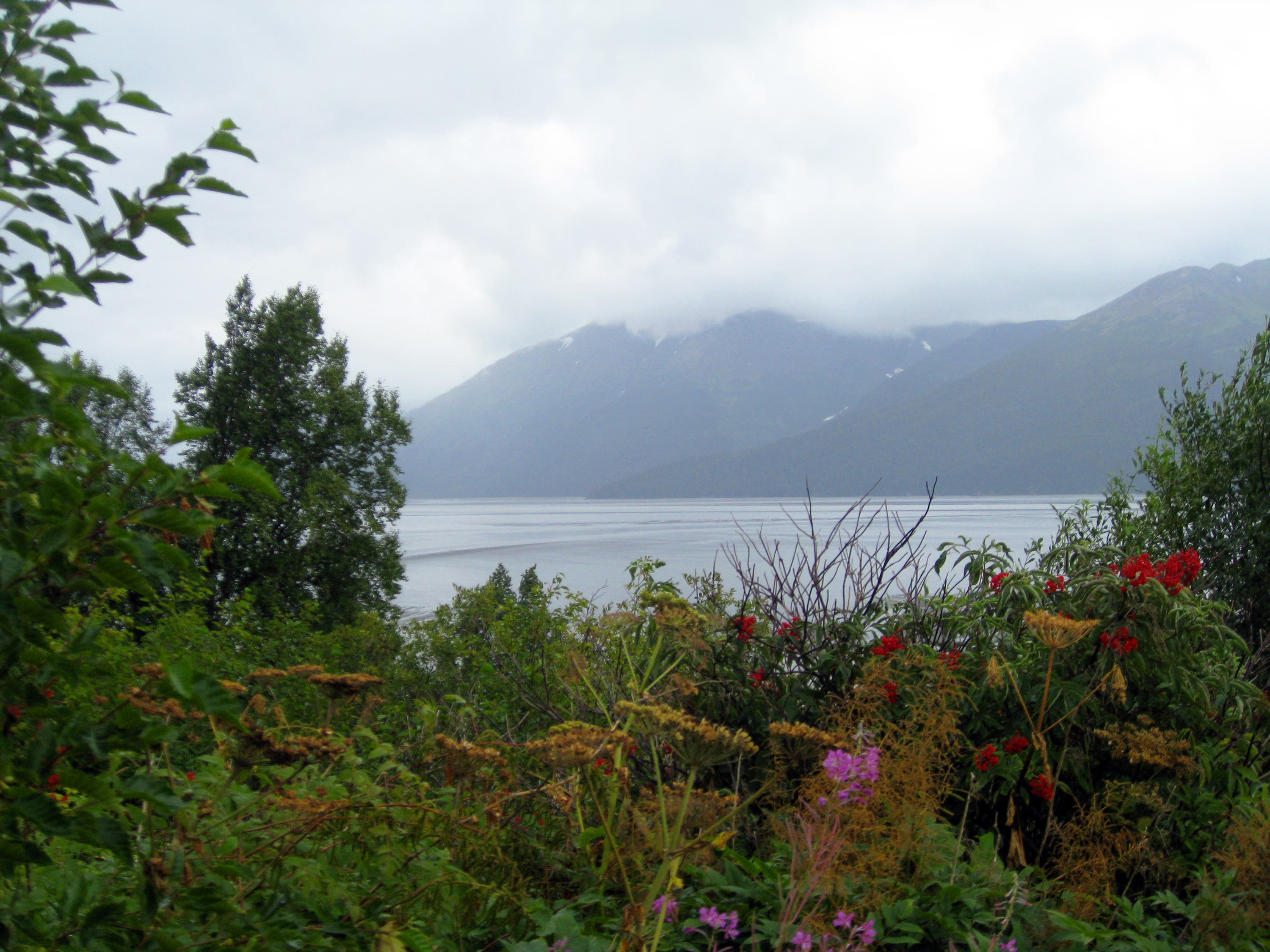
After passing the sculptures, walk through the tunnel below the highway and bear right onto the Indian-to-Girdwood bike path. The scenic path leads northeast past views of Turnagain Arm to a retired avalanche cannon mounted next to the trail. Read the interpretive sign, then turn around and return to the Bird Point parking area.
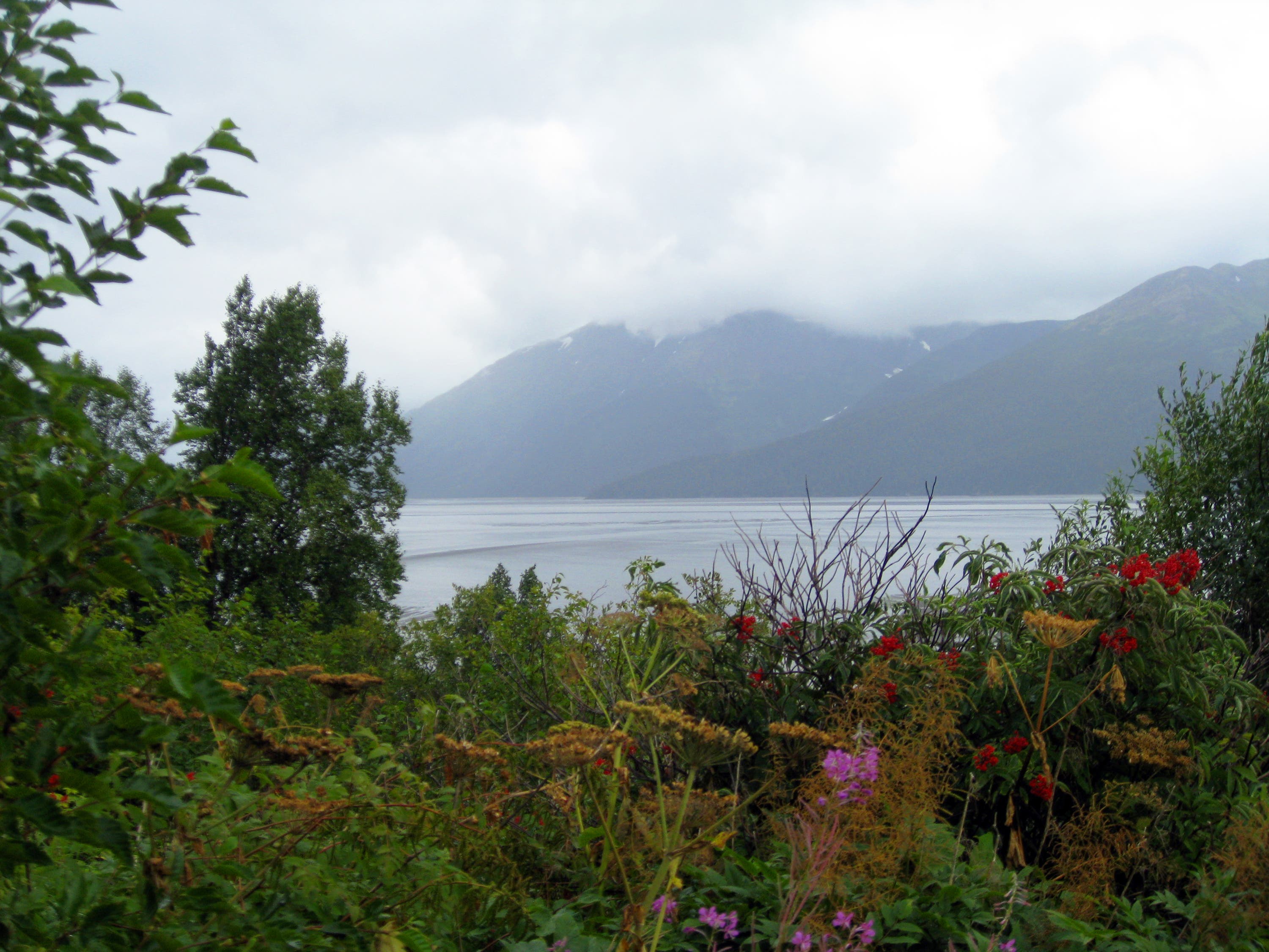
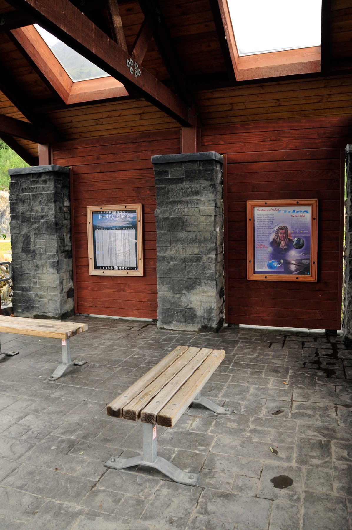
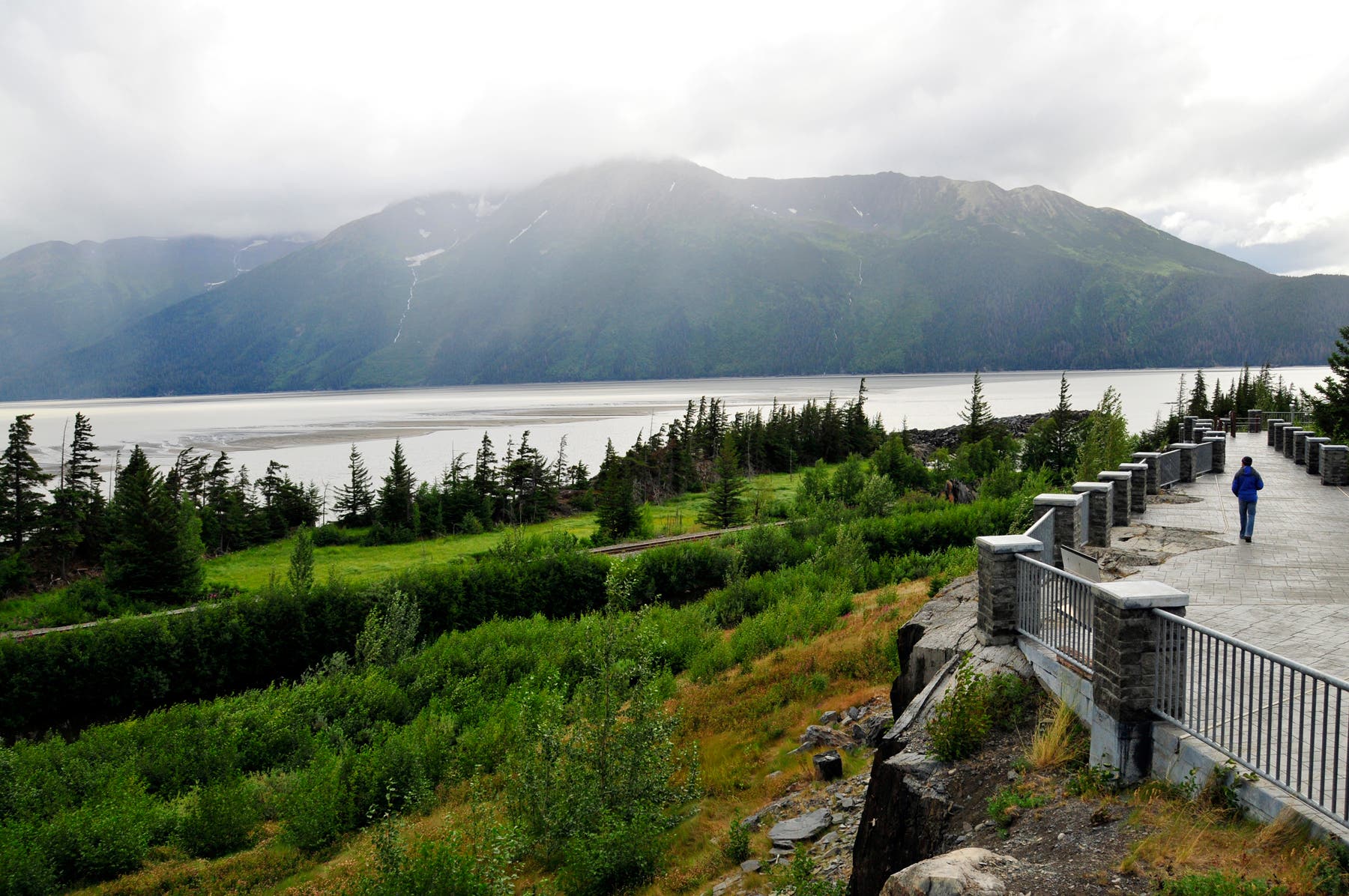
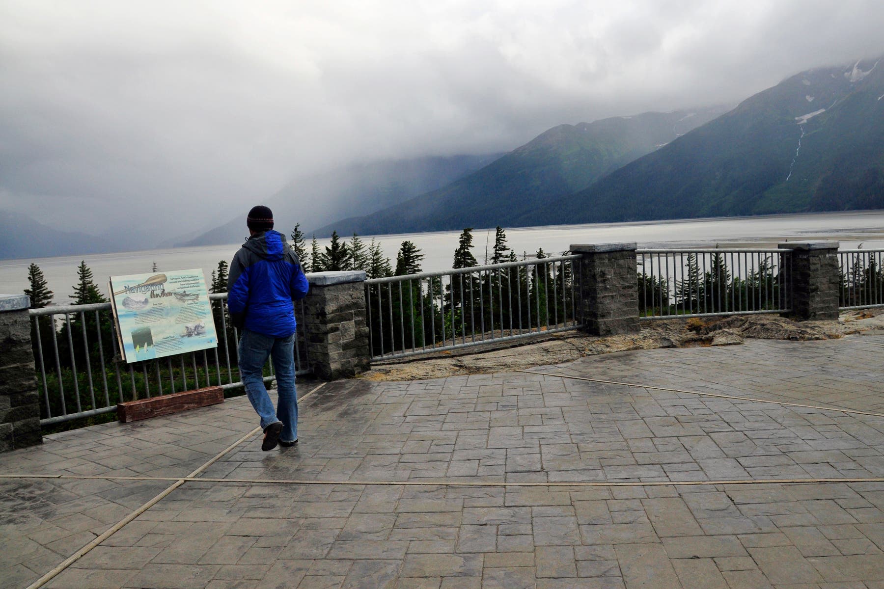
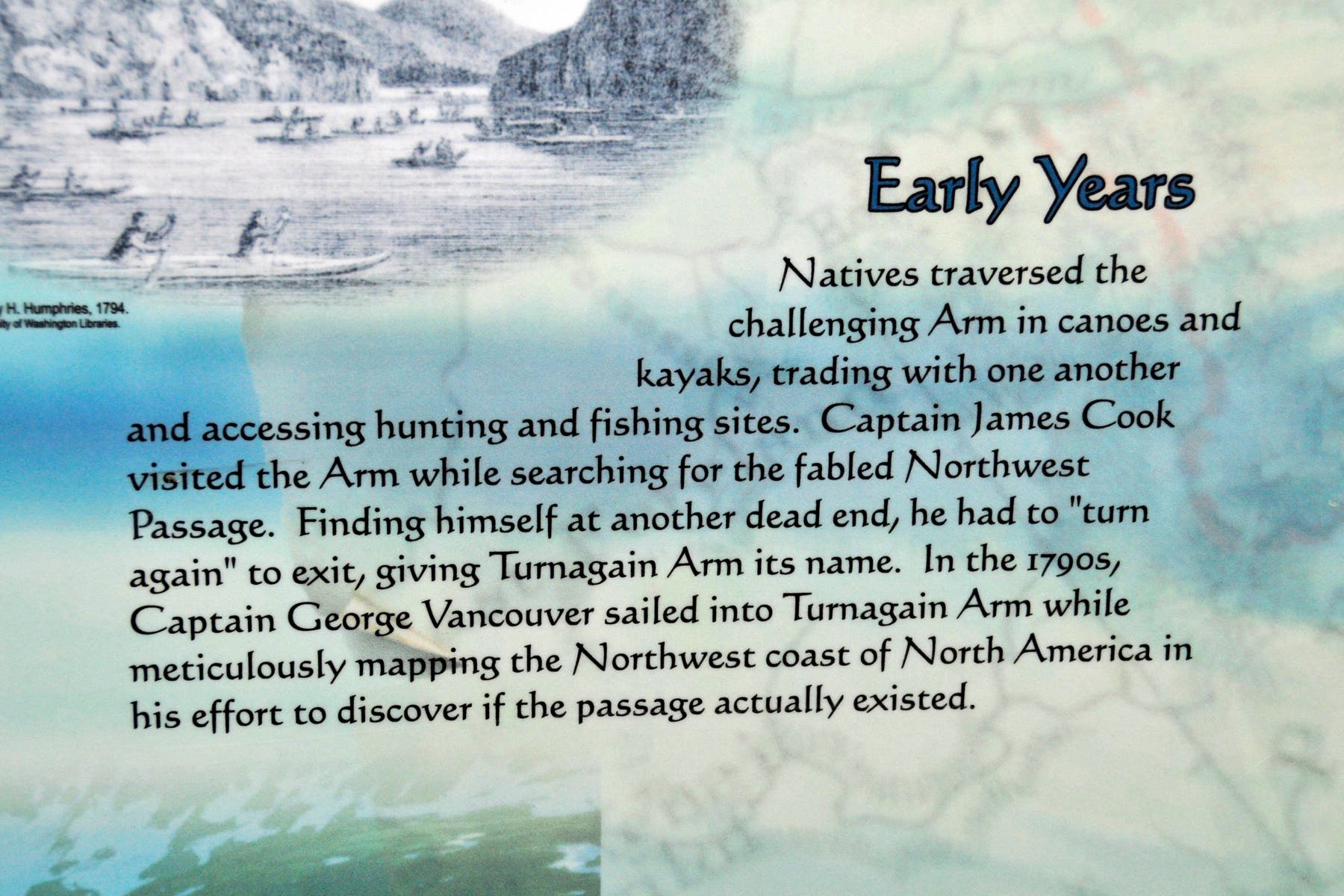
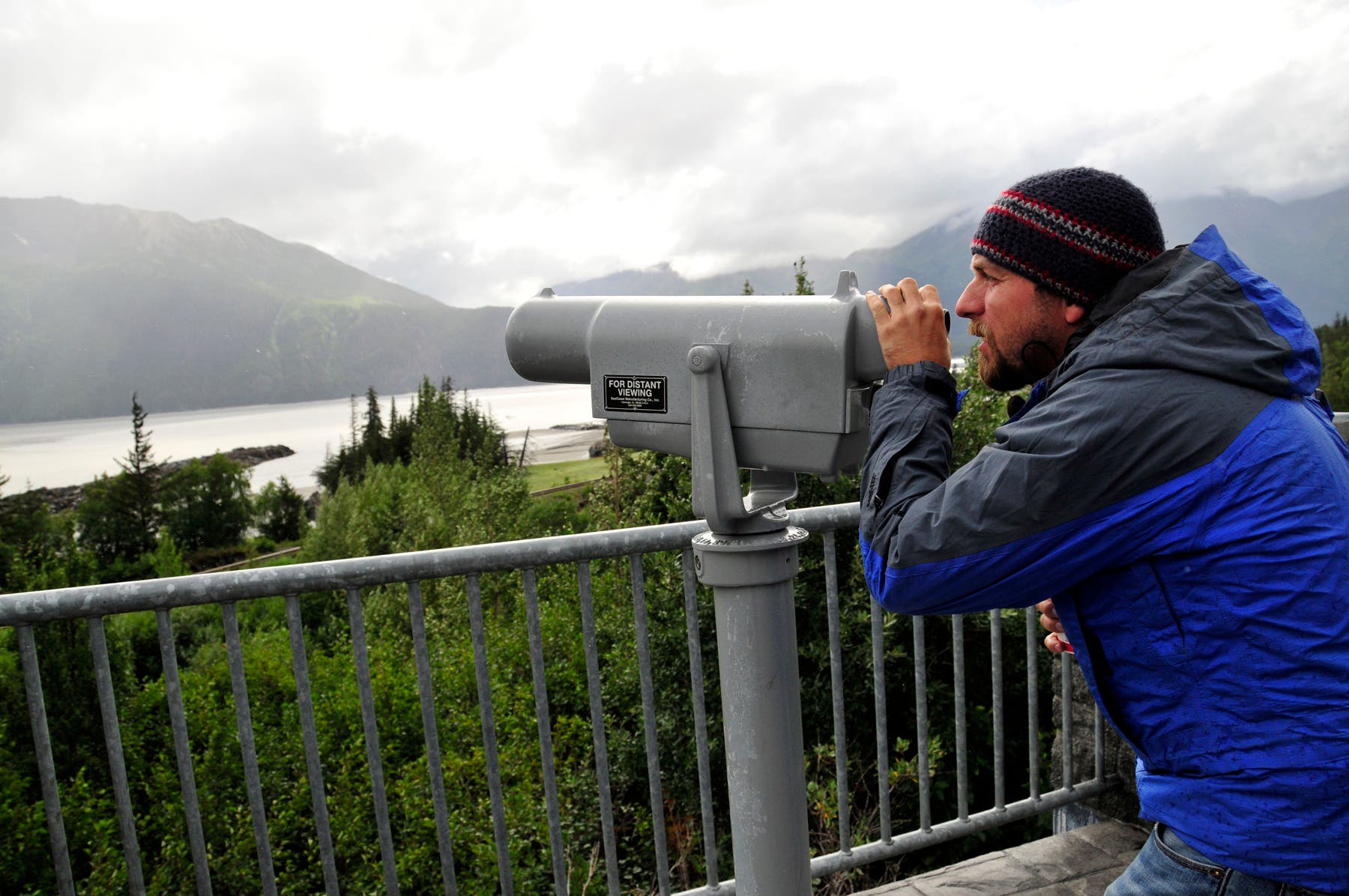
Next, walk up the ramp that starts on the south end of the parking area; several interpretive signs line the walkway. Stop at the enclosed area at the top of the ramp to read about Turnagain’s bore tides. Continue along the walkway to a telescope overlooking Turnagain Arm and the Kenai Mountains. (If you have time, stay to watch the bore tide.) Take in the majestic scene from the overlook, then return to the parking area
-Mapped Kim Phillips
Trail Facts
- Distance: 3.1
Waypoints
BRD001
Location: 60.929098, -149.346465
From the large parking lot, follow the sidewalk northeast toward the beluga whale sculptures.
BRD002
Location: 60.929384, -149.345655
Pass by the beluga whale sculptures, then bear right onto the paved path.
BRD003
Location: 60.92964, -149.343789
Walk through a narrow tunnel that travels below the Seward Highway.
BRD004
Location: 60.930736, -149.341683
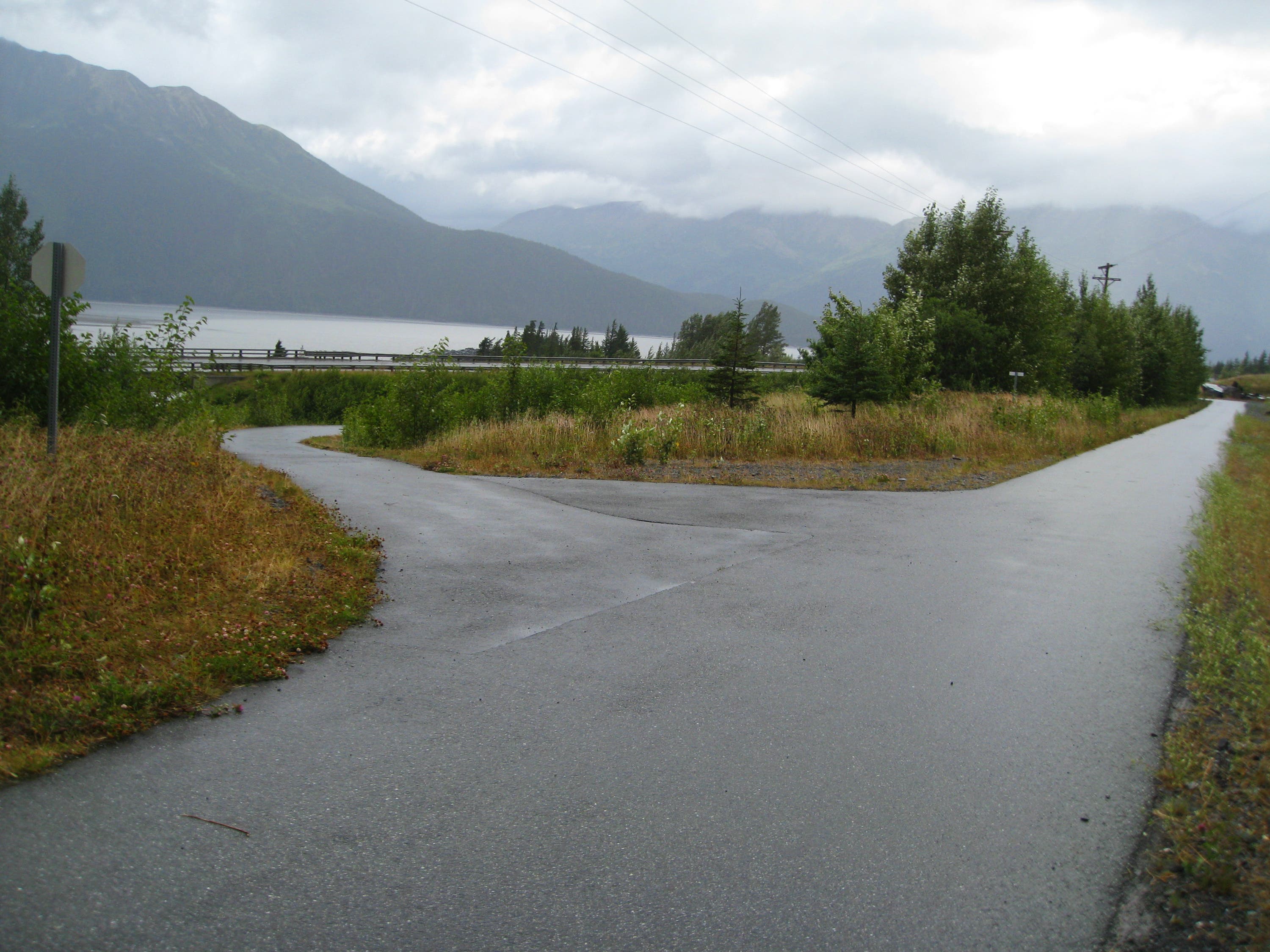
Turn right at T-junction onto the Indian-to-Girdwood bike path. Head northeast.
BRD005
Location: 60.931781, -149.337192
Bear right at Y-junction to check out views across Turnagain Arm.
BRD006
Location: 60.934329, -149.326413
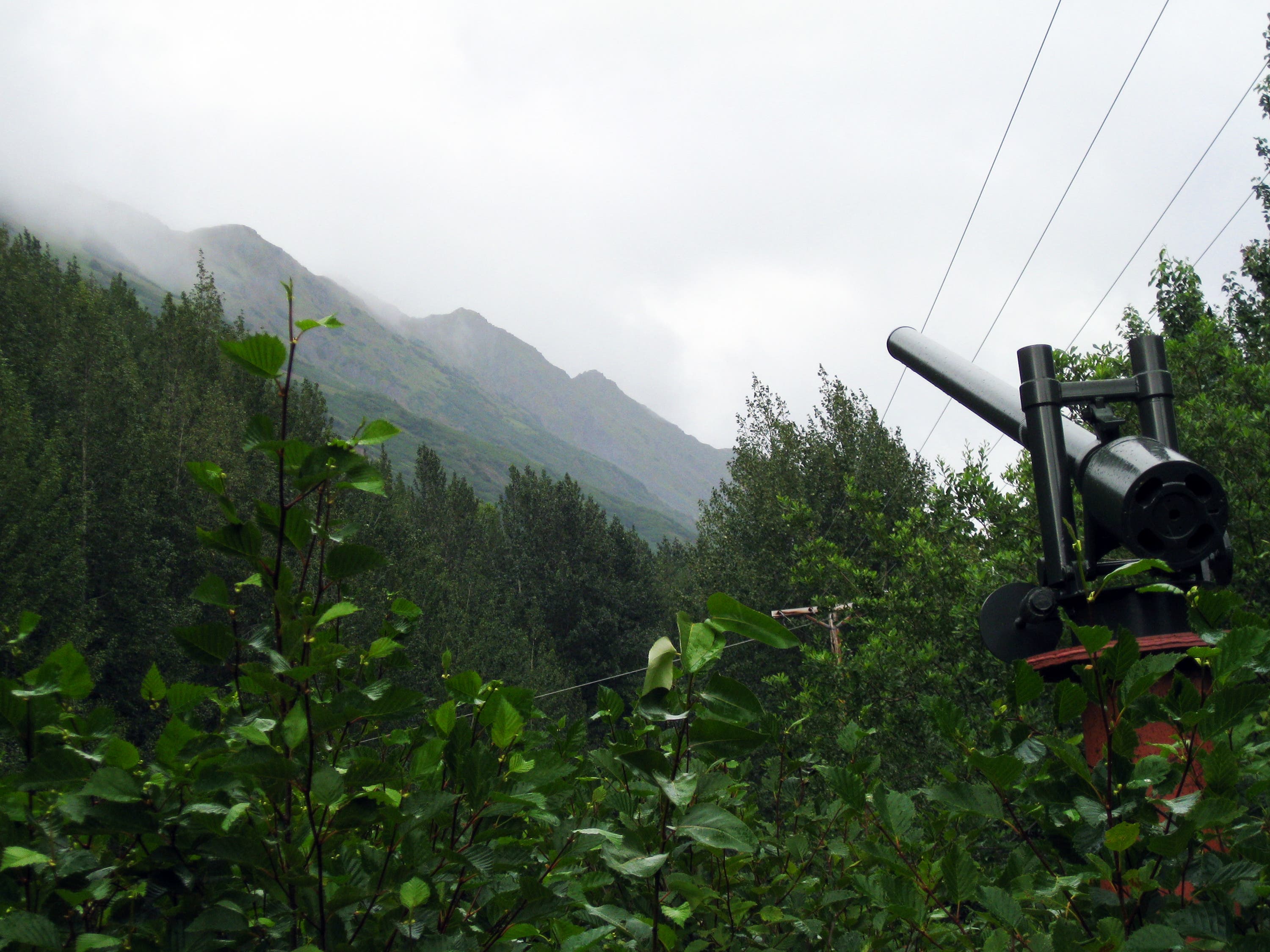
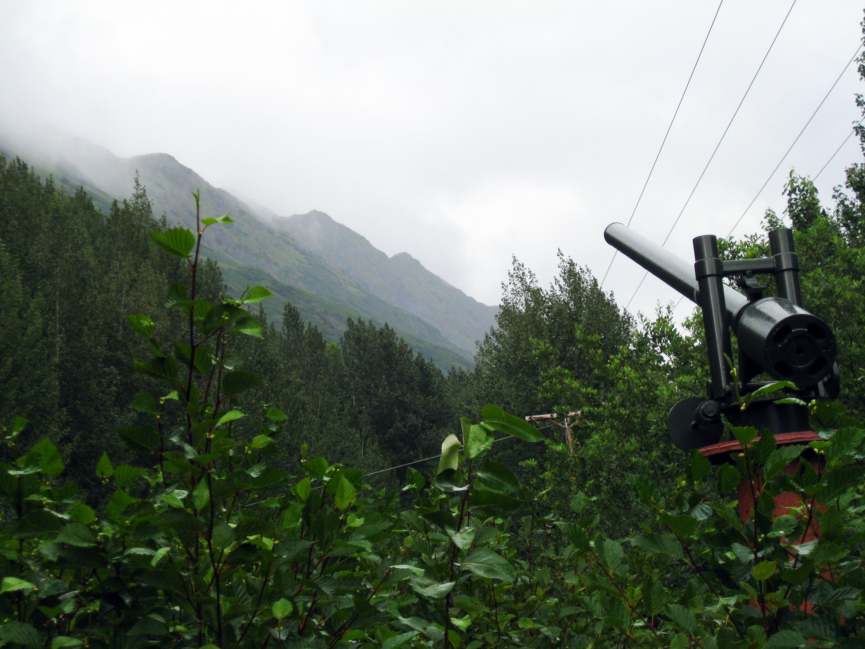
The trail passes an old avalanche cannon displayed next to the trail. Read about its history before turning around the heading back to Waypoint 1.
BRD007
Location: 60.929059, -149.346498
After you return to Waypoint 1, climb the ramp that leaves from the parking area.
BRD008
Location: 60.929059, -149.347222
Pass an interpretive sign about beaver dams.
BRD009
Location: 60.928801, -149.346661
This small room has several interpretive signs. One of them explains the bore tide.
BRD010
Location: 60.928415, -149.347254
This interpretive sign is dedicated to beluga whales.
BRD011
Location: 60.928193, -149.347367
Look through the telescope at the end of the walkway to get close-up views of the bore tide.
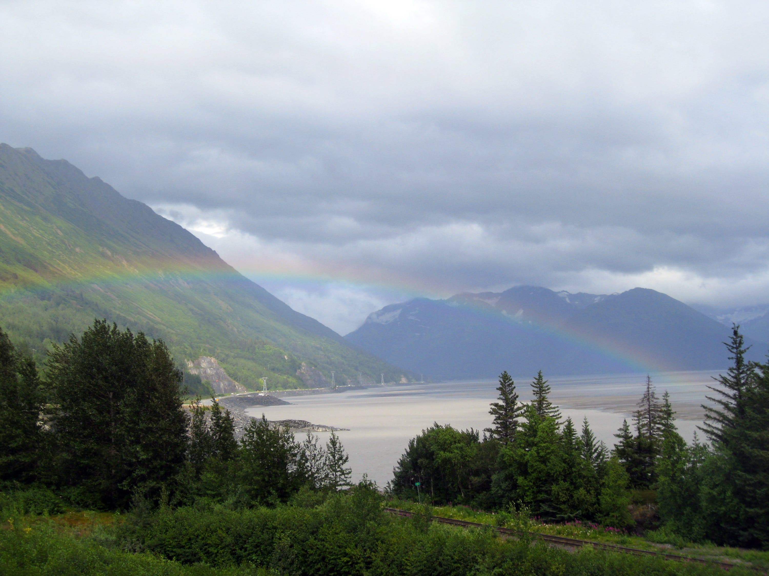
Rainbow at Bird Point
Location: 60.929108, -149.346165
Beluga Whale Sculpture
Location: 60.929379, -149.345527
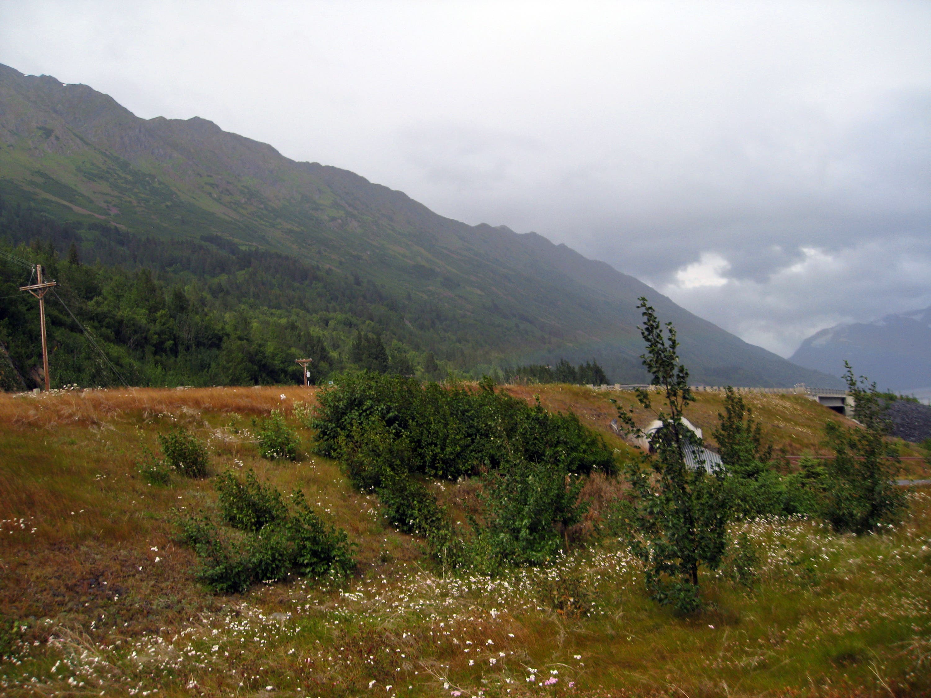
Views from Bird Point
Location: 60.929408, -149.344303
Bike Path
Location: 60.930742, -149.341632
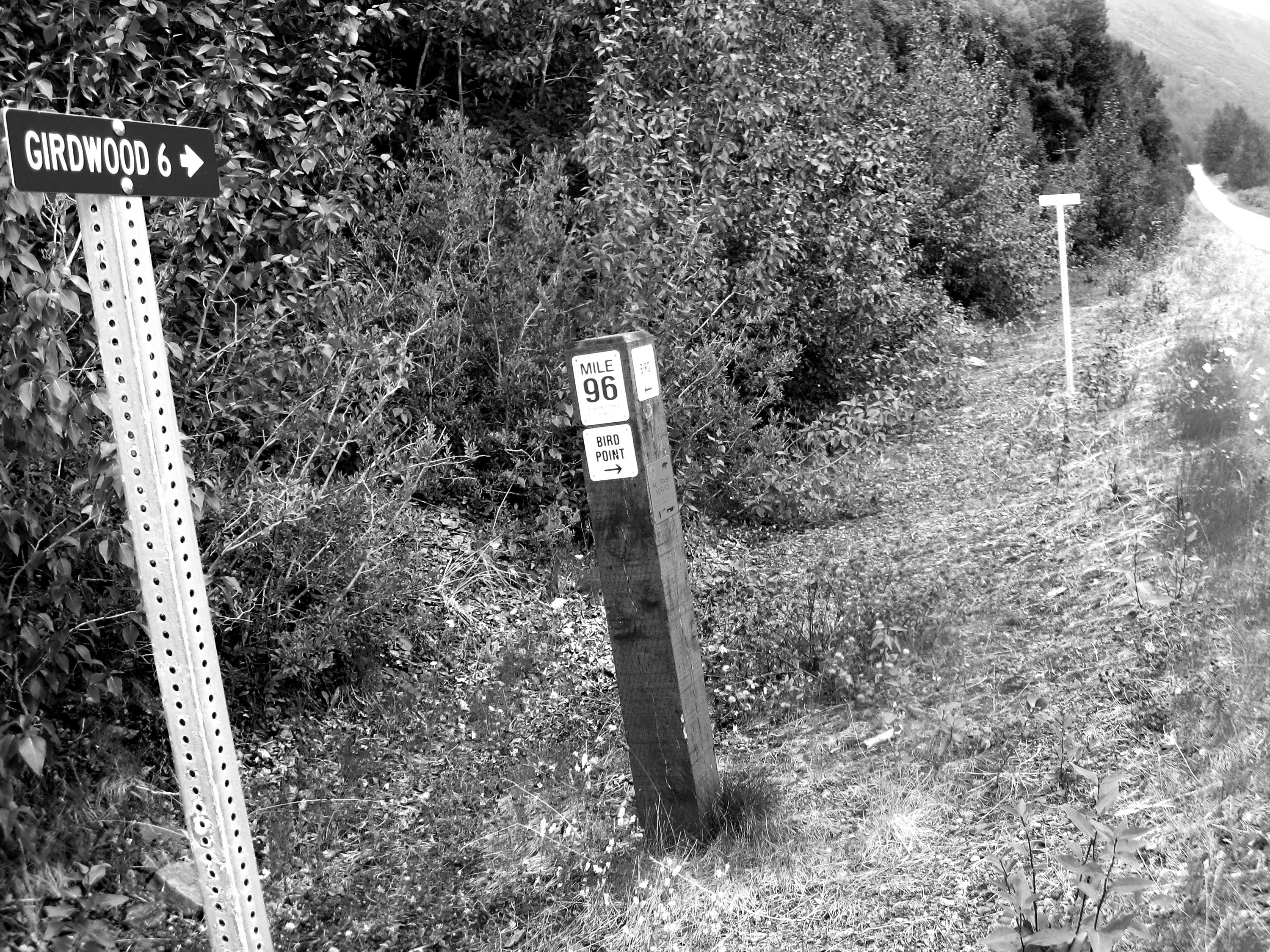
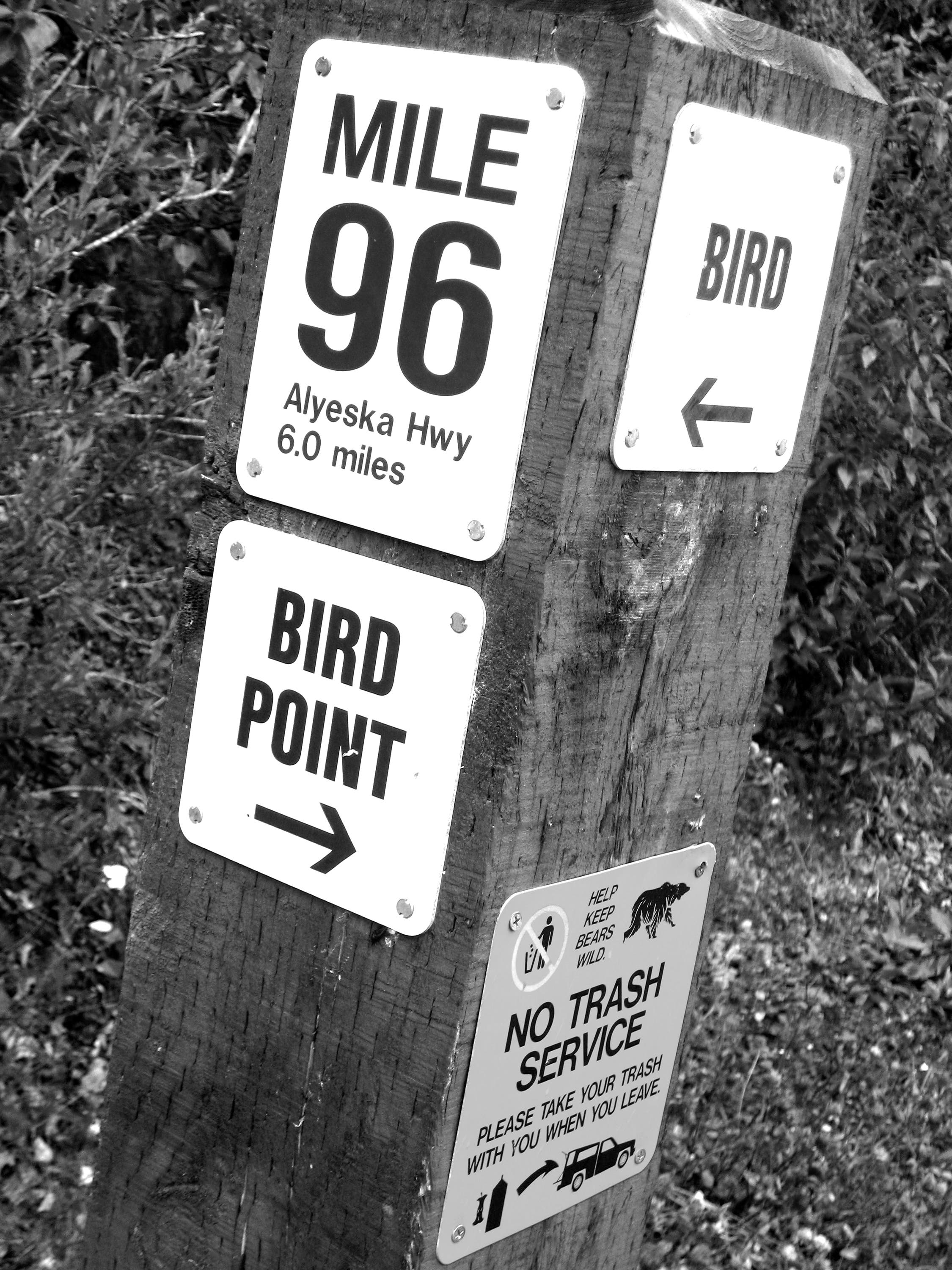
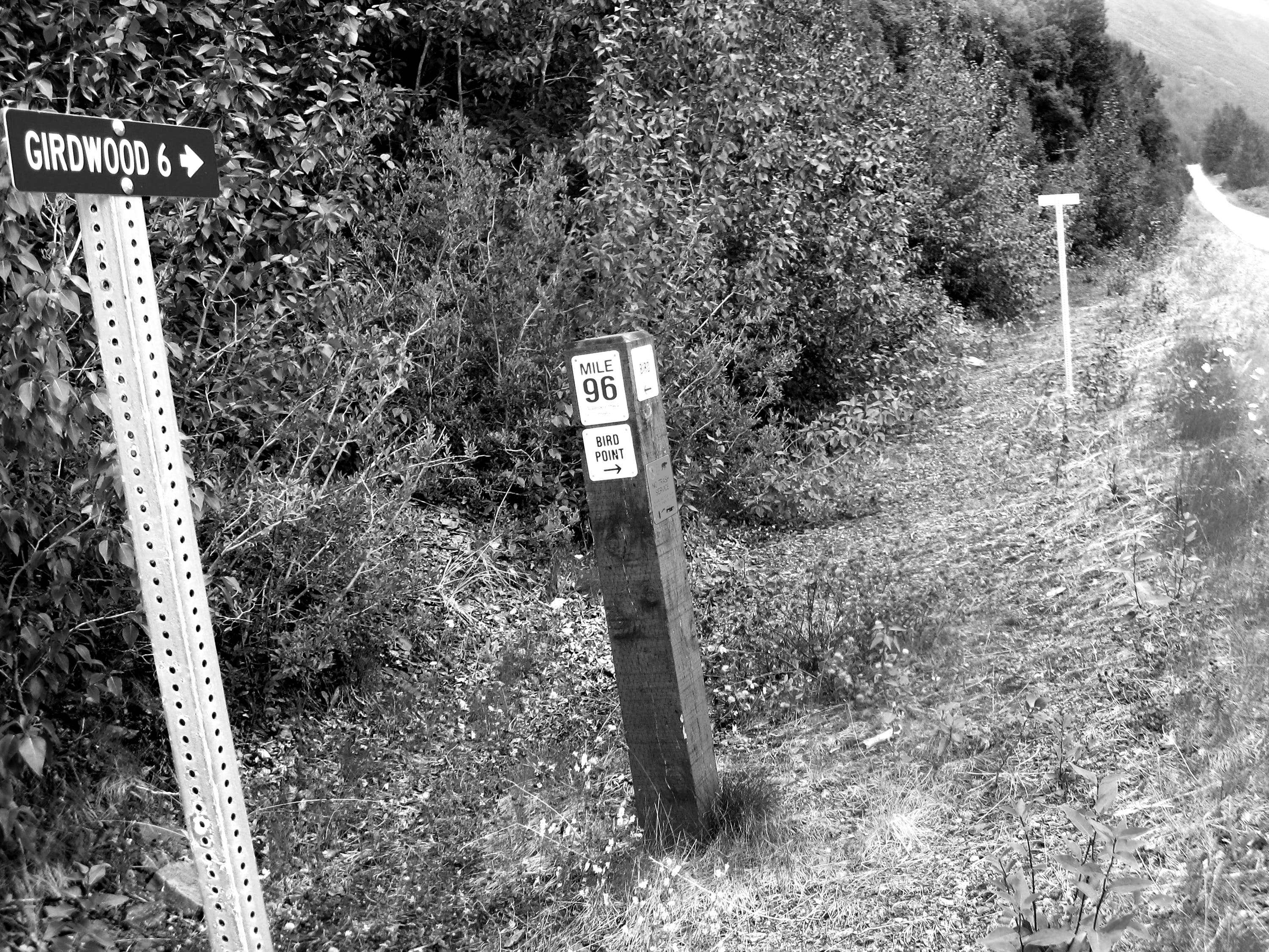
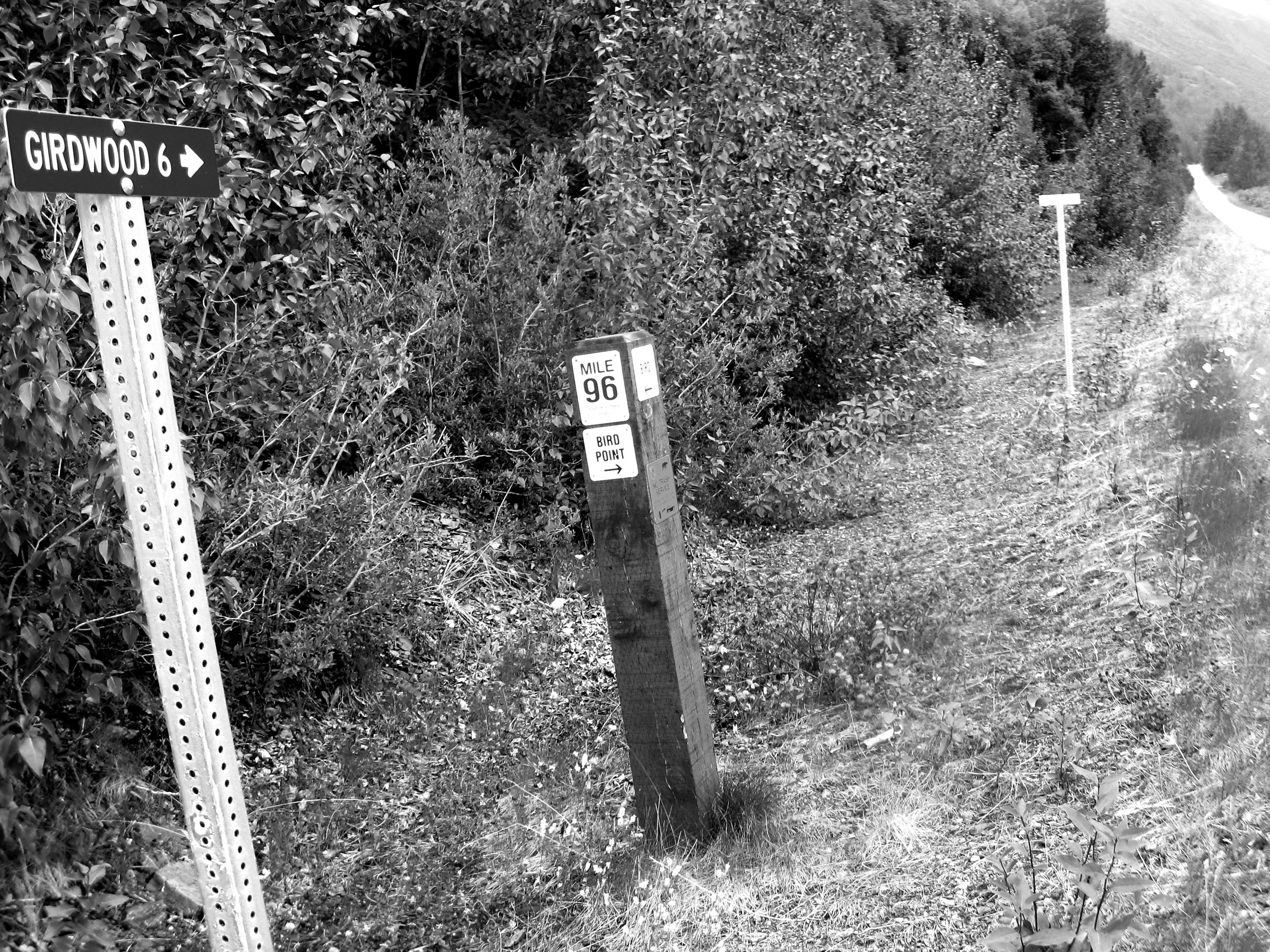
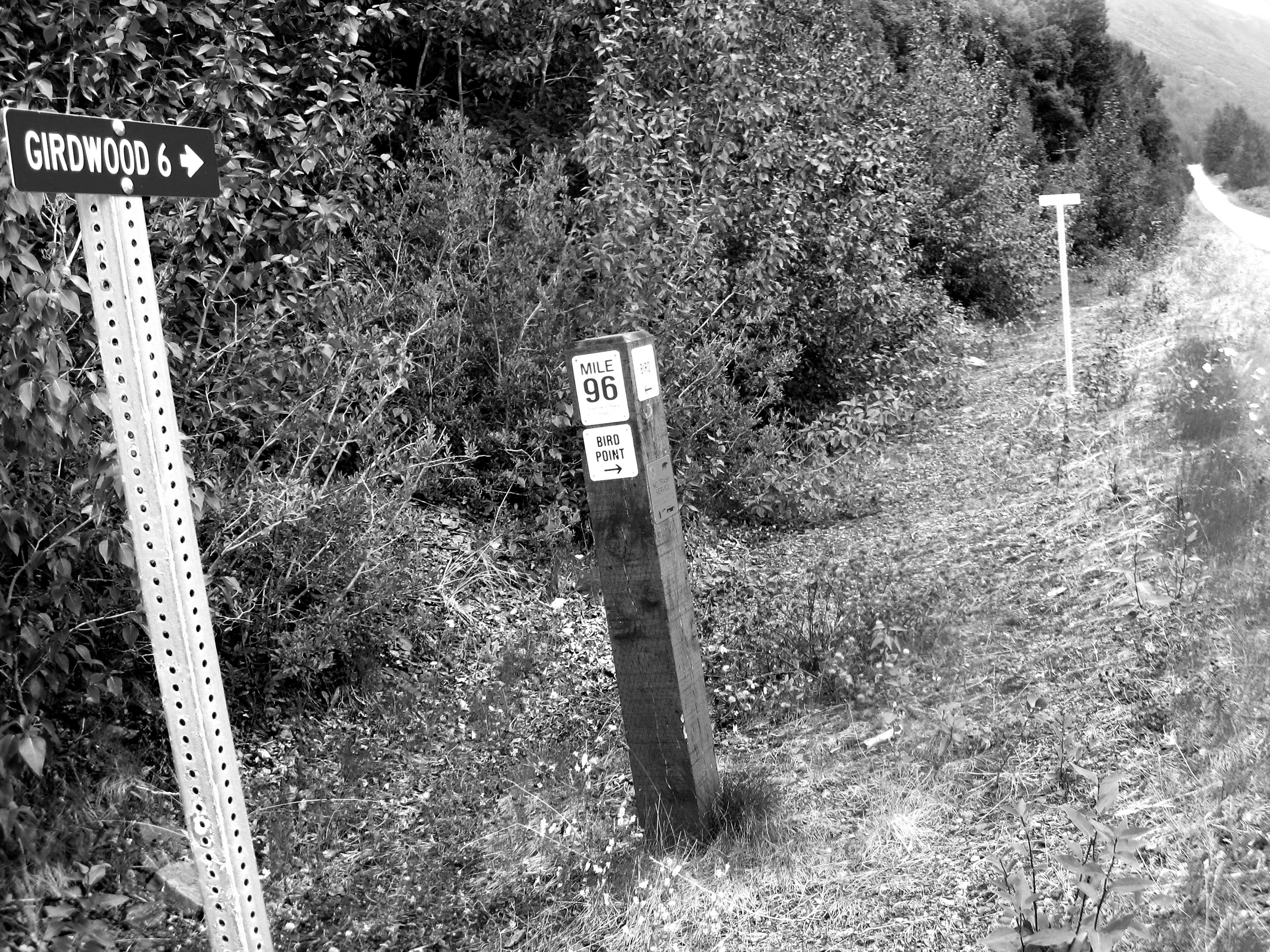
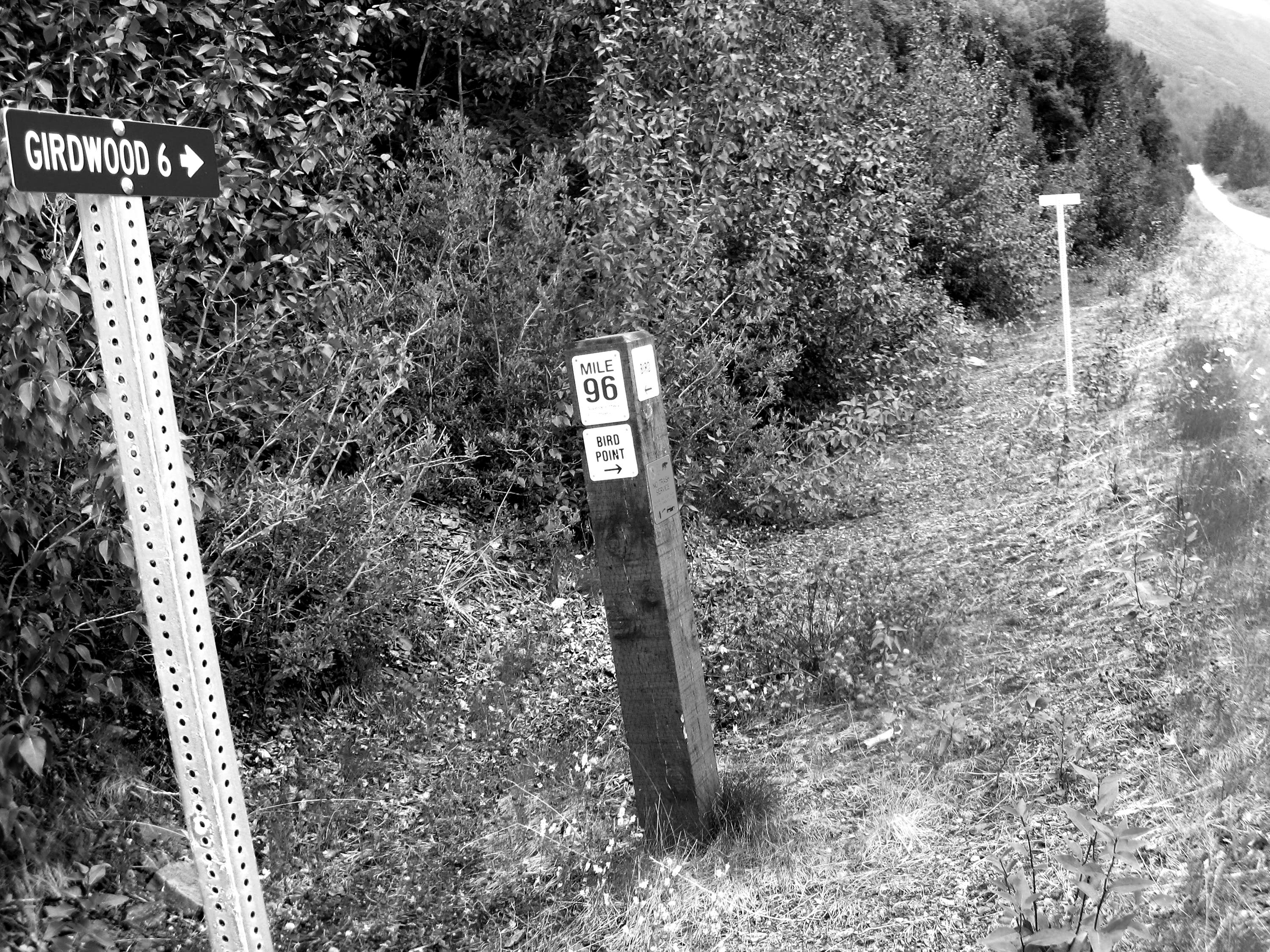
Milepost 96
Location: 60.930761, -149.341514
Bike Path
Location: 60.931502, -149.338354
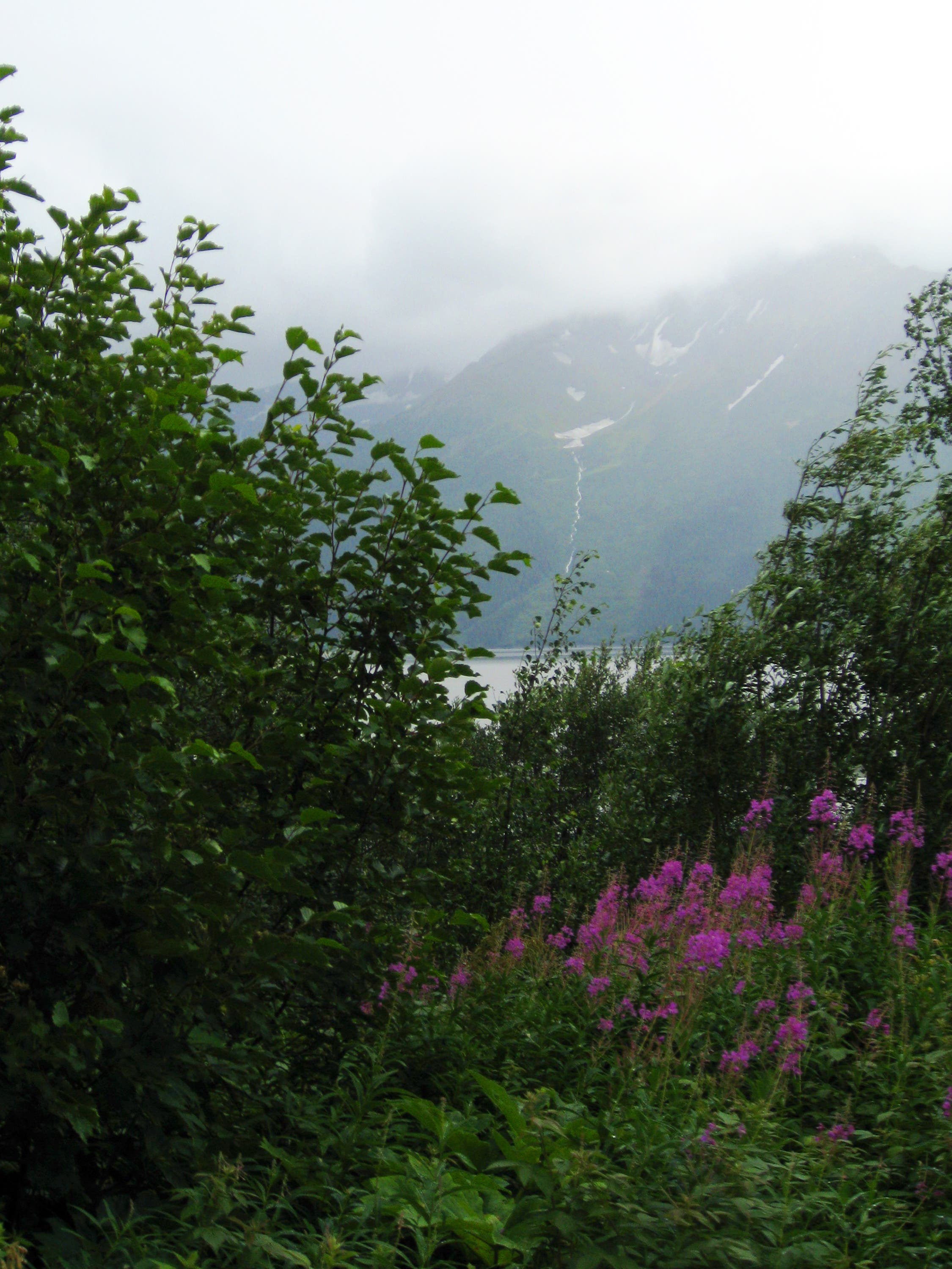
Views from the Trail
Location: 60.931558, -149.338093
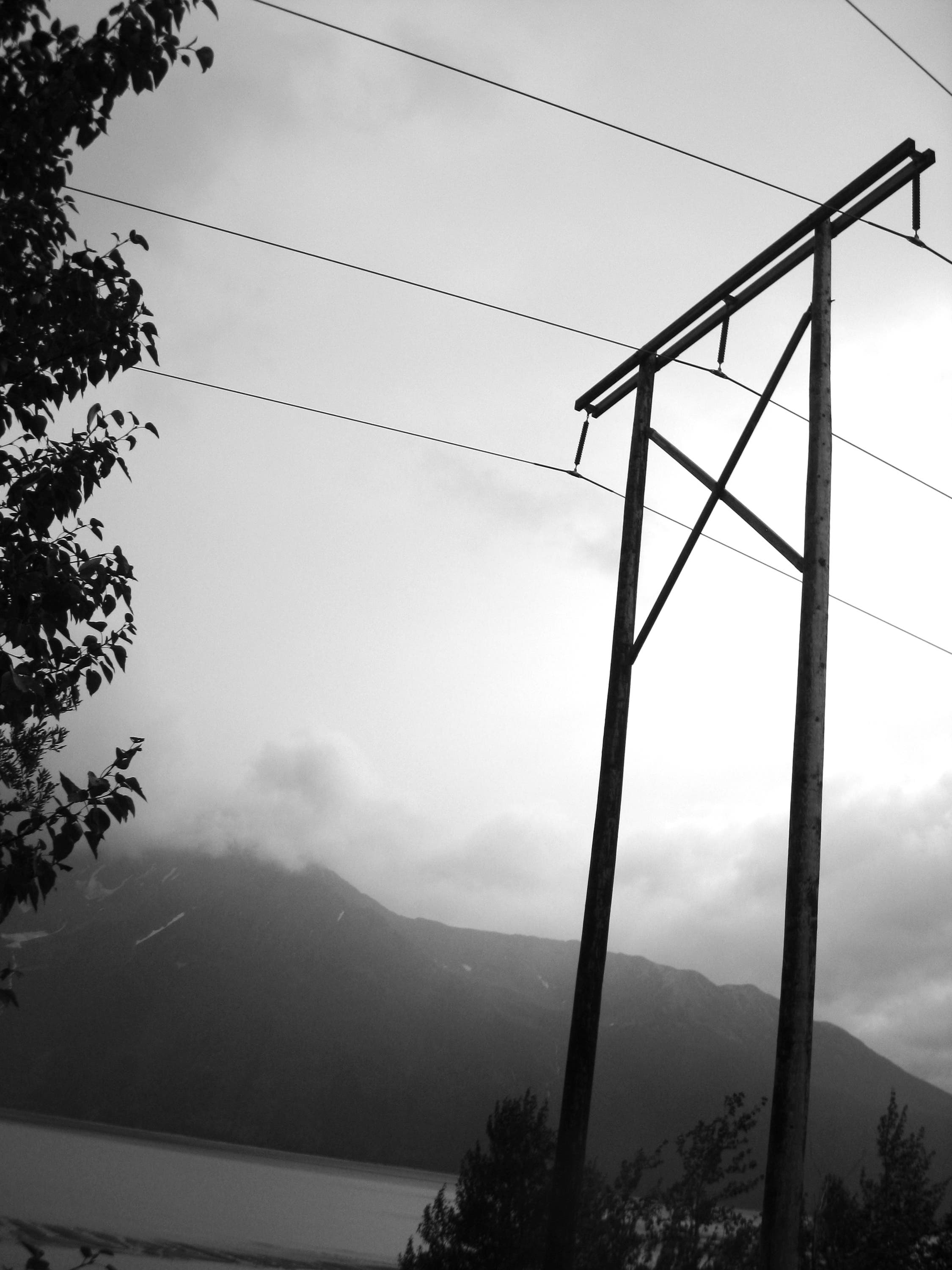
Towering Lines
Location: 60.931819, -149.336701
Bike Path
Location: 60.932903, -149.332534
Turnagain Arm
Location: 60.933023, -149.332051
Bike Path
Location: 60.93317, -149.331374
Avalanche Cannon
Location: 60.934319, -149.326853
Avalanche Cannon
Location: 60.934365, -149.326559
Avalanche Cannon
Location: 60.934336, -149.326703
Bike Path
Location: 60.933647, -149.329611
Junction
Location: 60.930776, -149.341385
Interpretive Signs
Location: 60.928799, -149.34664
Views of Turnagain Arm
Location: 60.928798, -149.34675
Interpretive Path
Location: 60.928692, -149.347007
Turnagain Arm
Location: 60.928677, -149.347021
Interpretive Sign
Location: 60.928664, -149.347034
Turnagain Arm
Location: 60.928311, -149.347158
Telescope
Location: 60.928196, -149.347313