Amarillo, TX: Lighthouse Trail

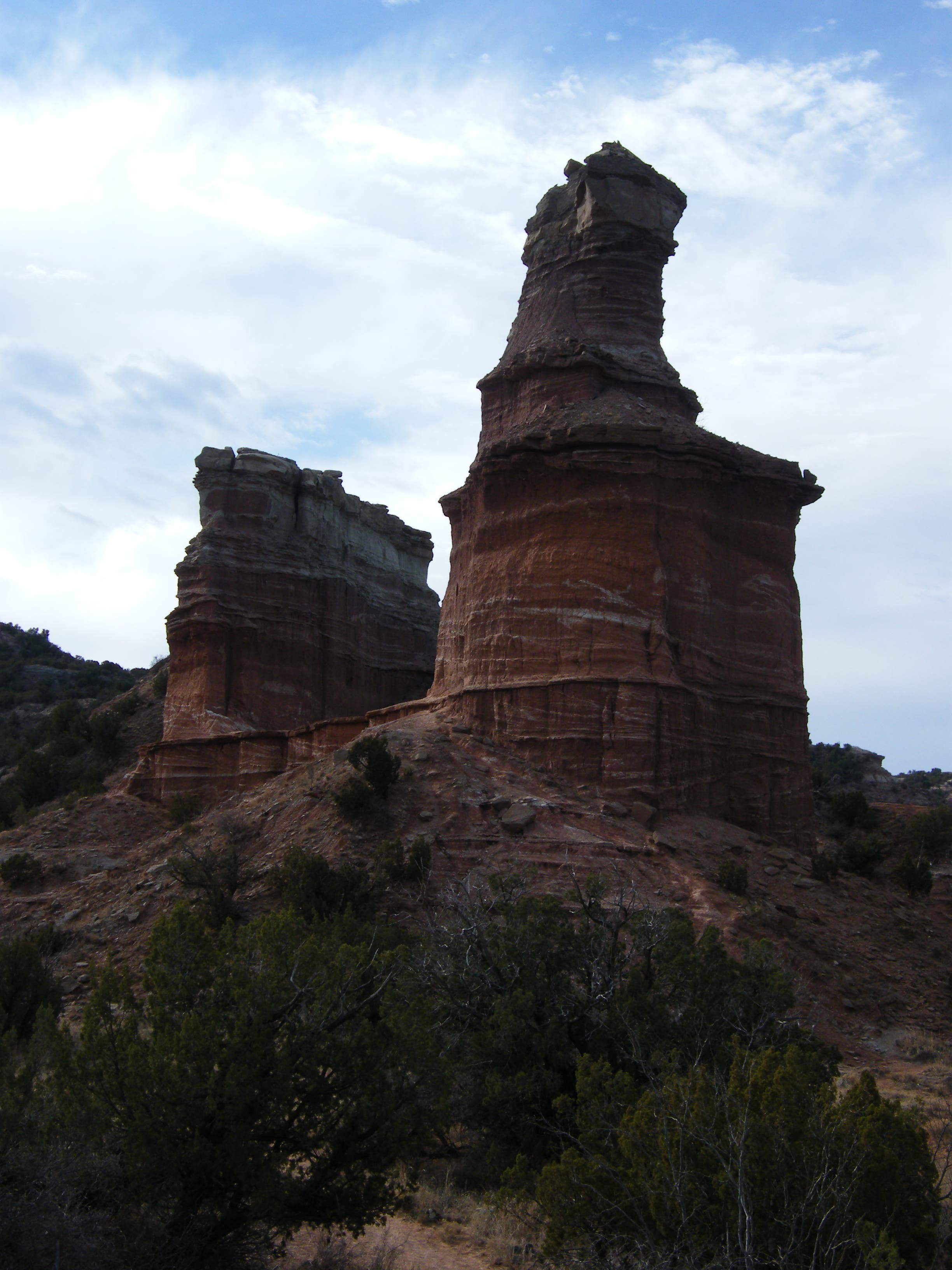
This 310-foot high formation, a designated National Natural Landmark, is the image of Palo Duro Canyon State Park for most people. The 5.75-mile round-trip trail, a moderately difficult hike to the Lighthouse, can experience high traffic in peak season, and hikers share it with mountain bikes and horses. Go on a week day or off season, though, and you may have the scenic trail all to yourself.
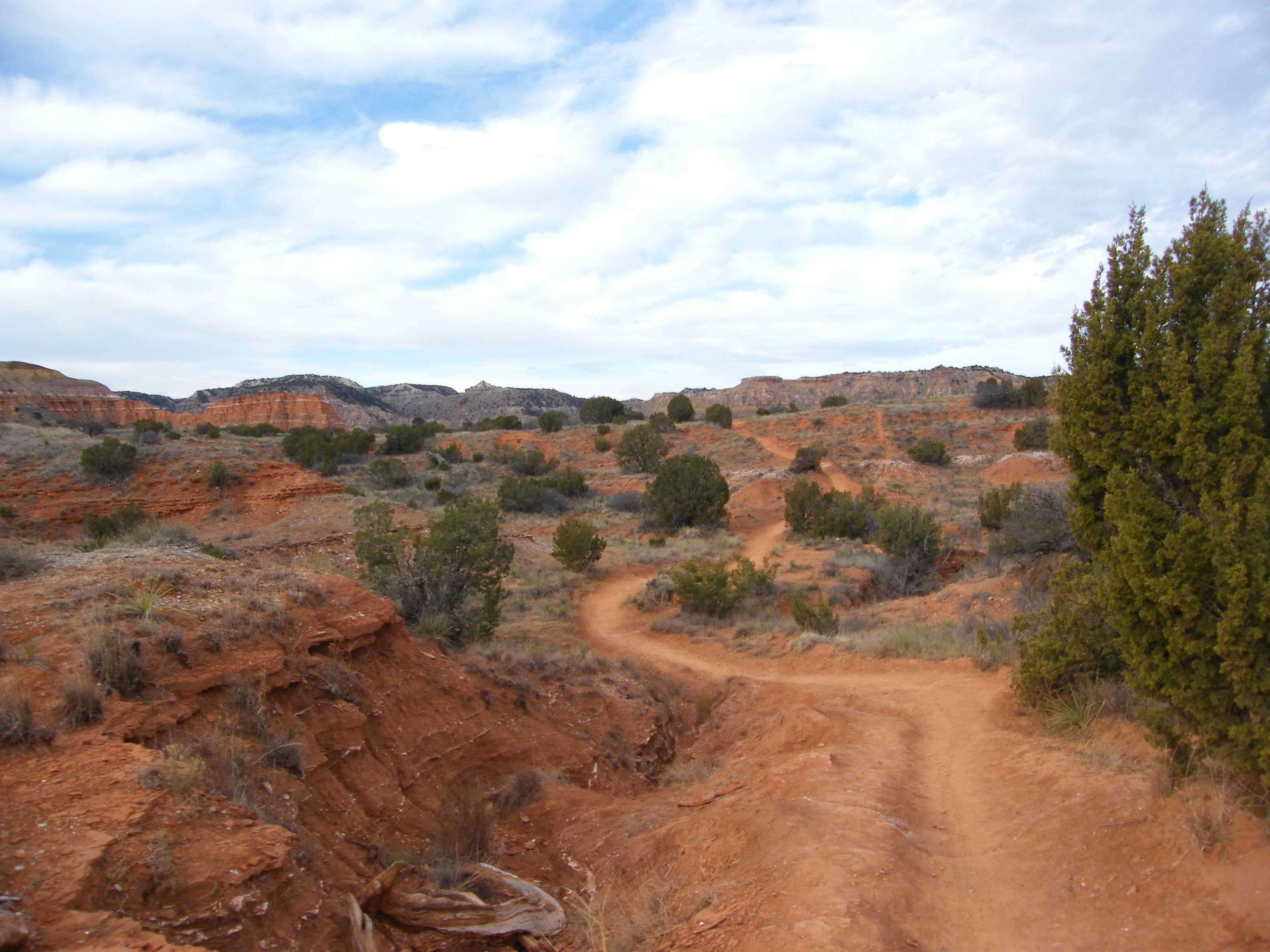
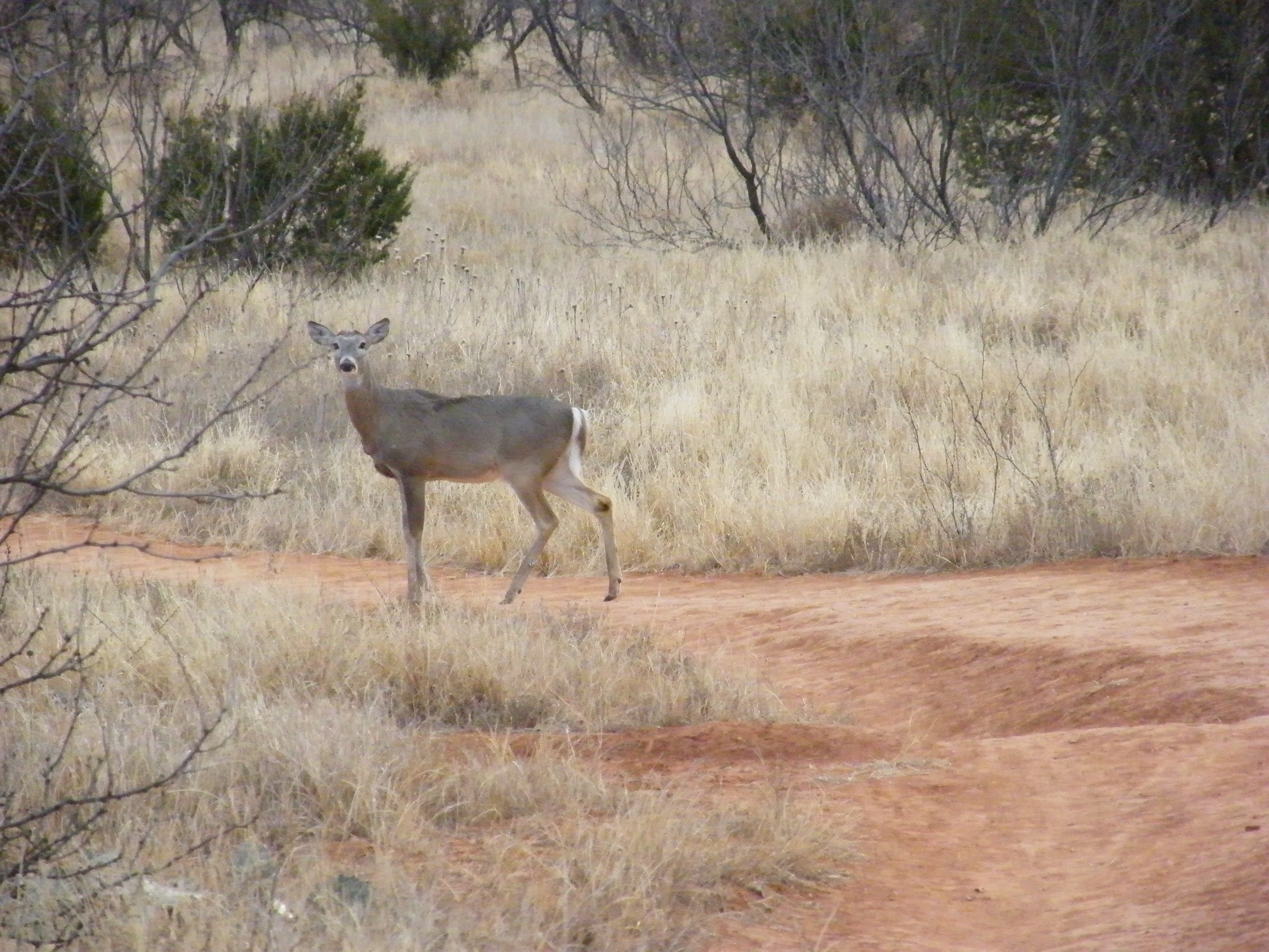
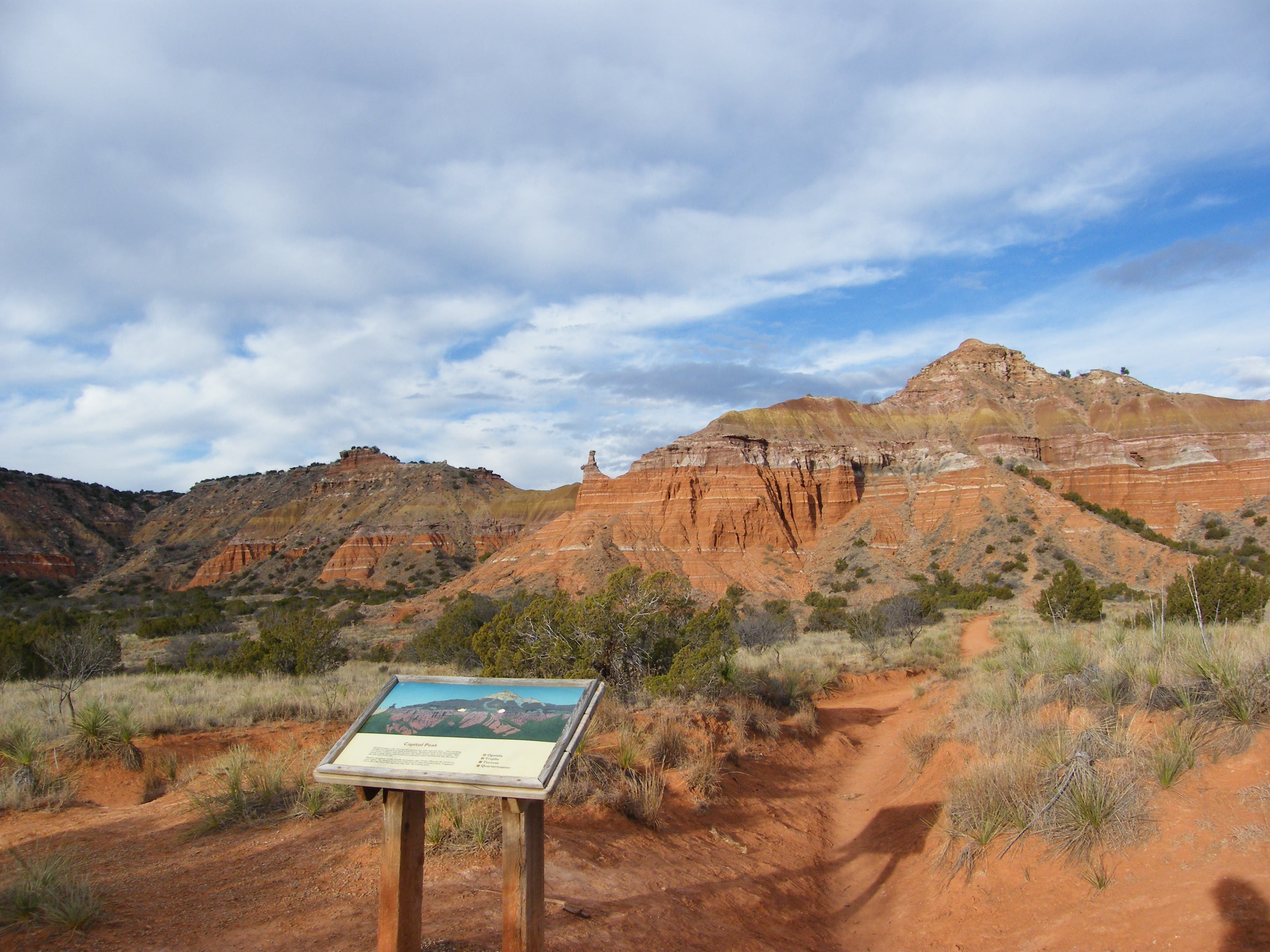
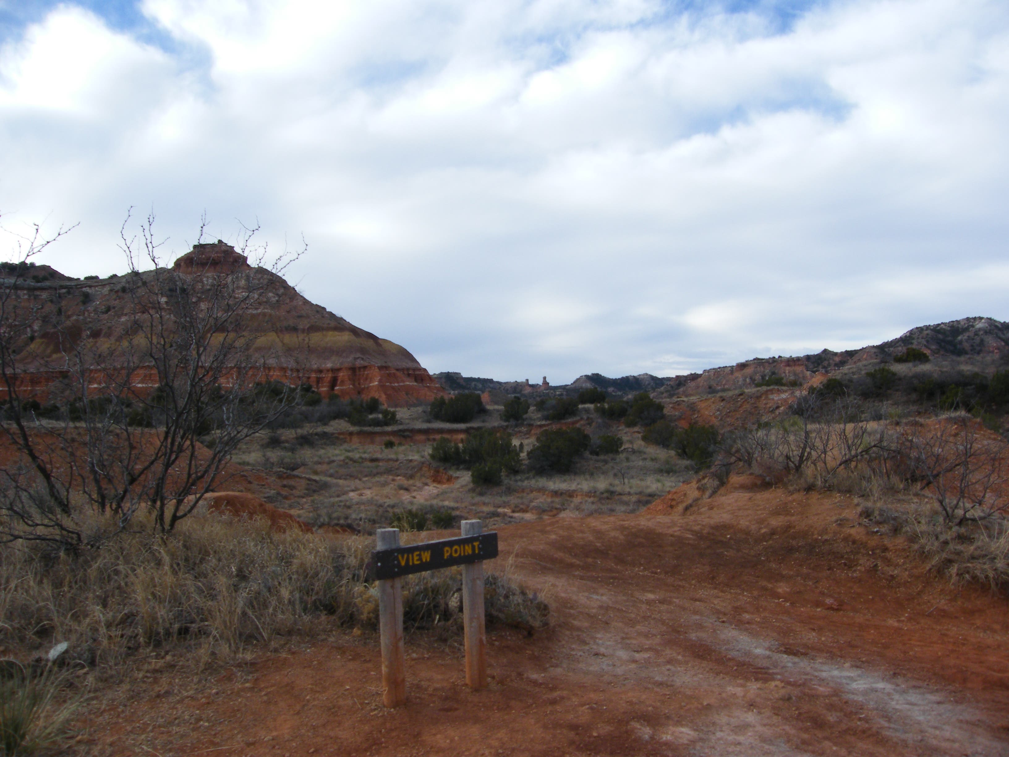
The red dirt track winds through sticky, thorny vegetation including sage brush, yucca, prickly pear, mesquite, juniper, western soapberry and cholla. This stretch heads slightly uphill and past a couple of intersections, then up a rise with nice views of Capitol Peak and Fortress Cliffs (look for interpretive signs on each here). Early in the day, you may see mule deer in this area, and all along the trail, watch for scat of coyote, cottontails, hawks and even bobcats.
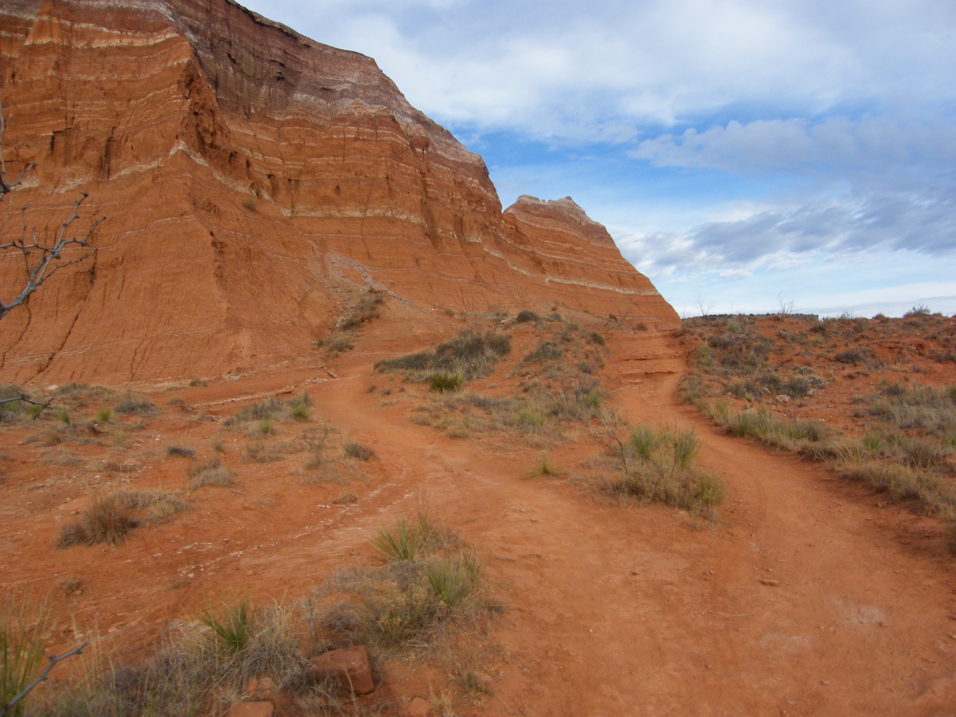
After passing the interpretive signs, you’ll be hiking along the face of Capitol Peak to its end and circling around behind it. In this area, the trail is quite degraded from short-cuts and rock jumping.
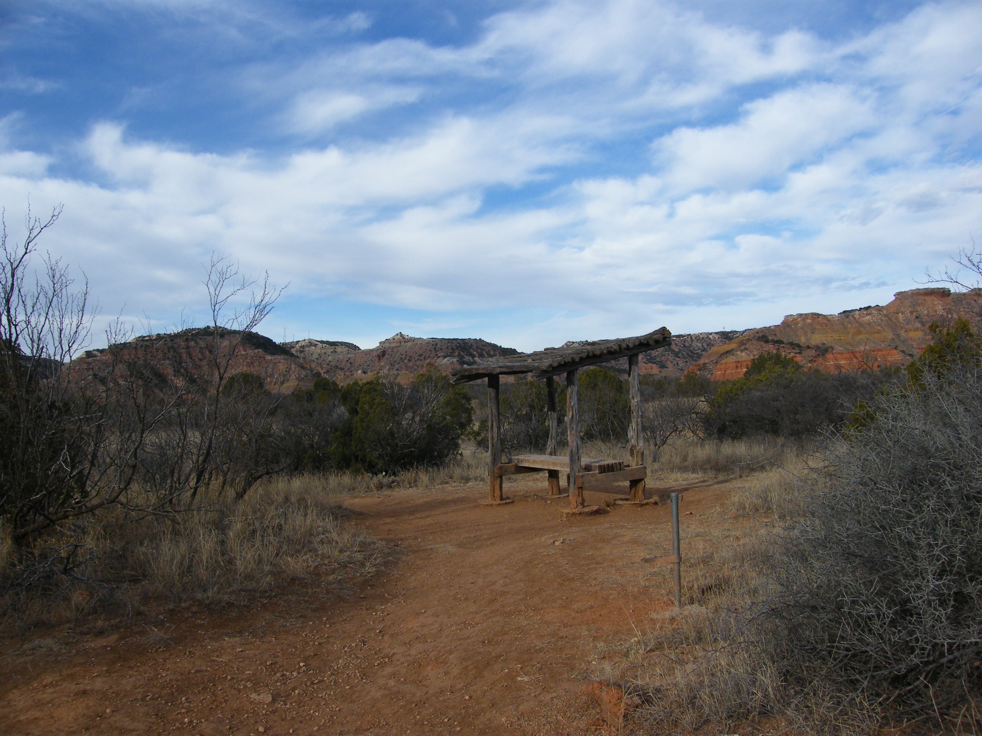
You soon pass an intersection with the Capitol Peak Mountain Bike Trail, then go down a wash and up the other side, around the end of the peak, and through a larger wash. A bench at the top of a small ridge, and a bit farther along, a covered bench, both offer good places from which to contemplate the complex geology of the 120-mile long, 800-foot deep canyon. Exposed over millions of years by the waters of the Prairie Dog Town Fork of the Red River, the rocks vary in color from bright red claystone to white gypsum, yellow and lavender mudstone, sandstone and limestone, some of it as much as 250 million years old.
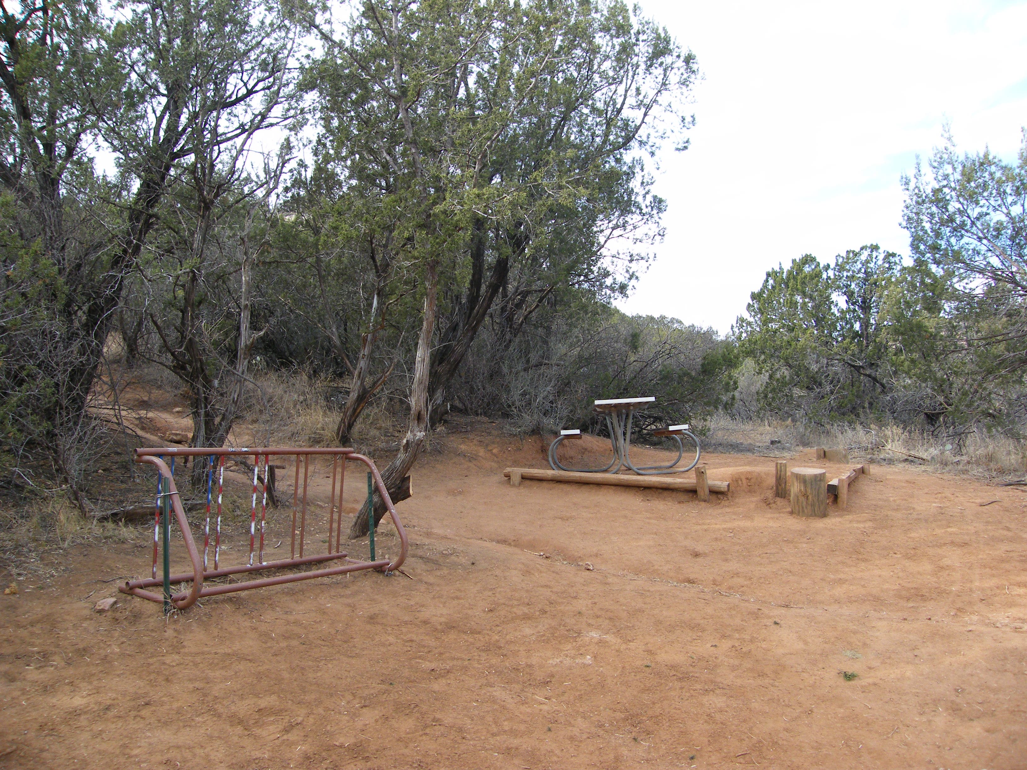
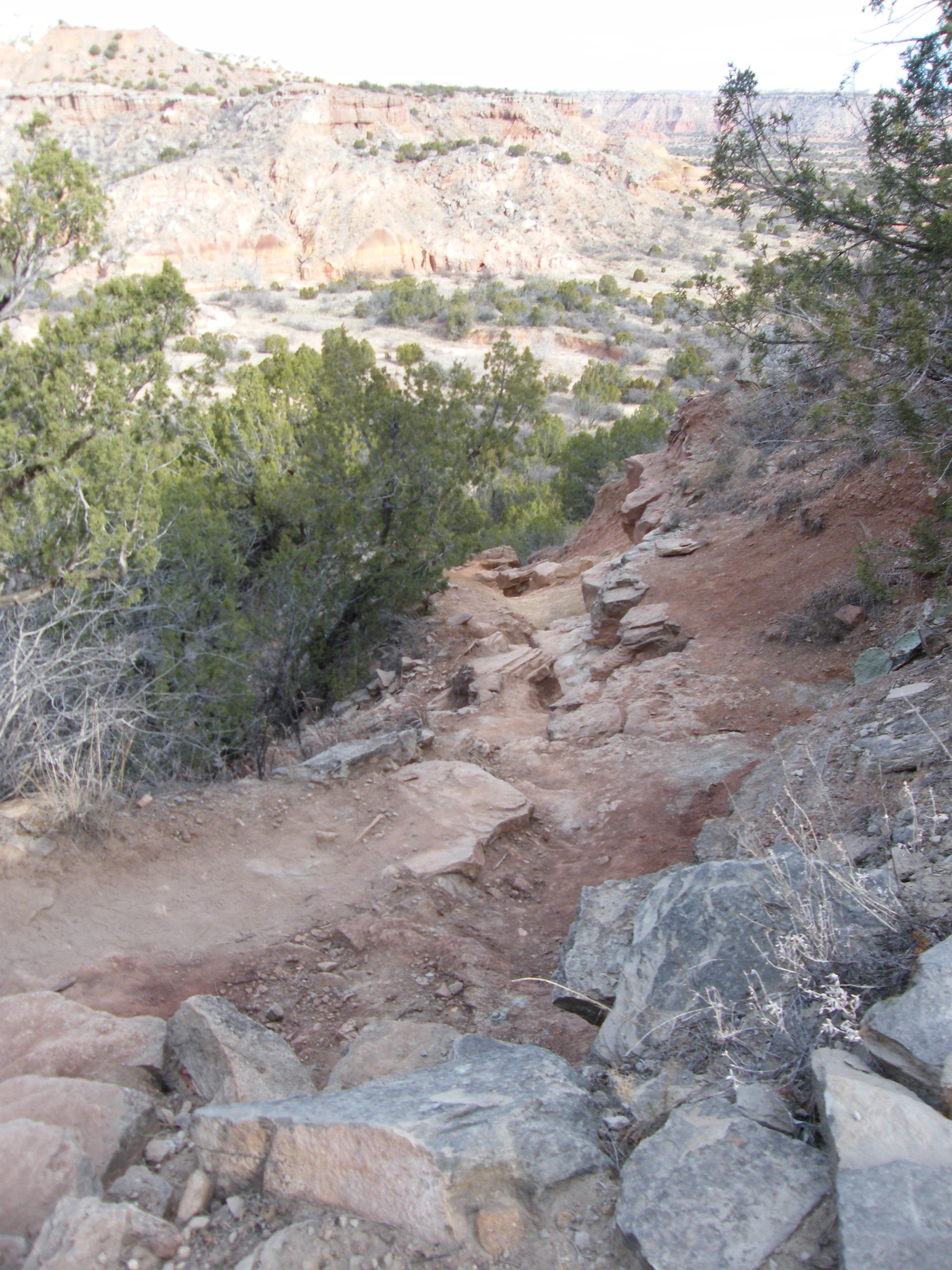
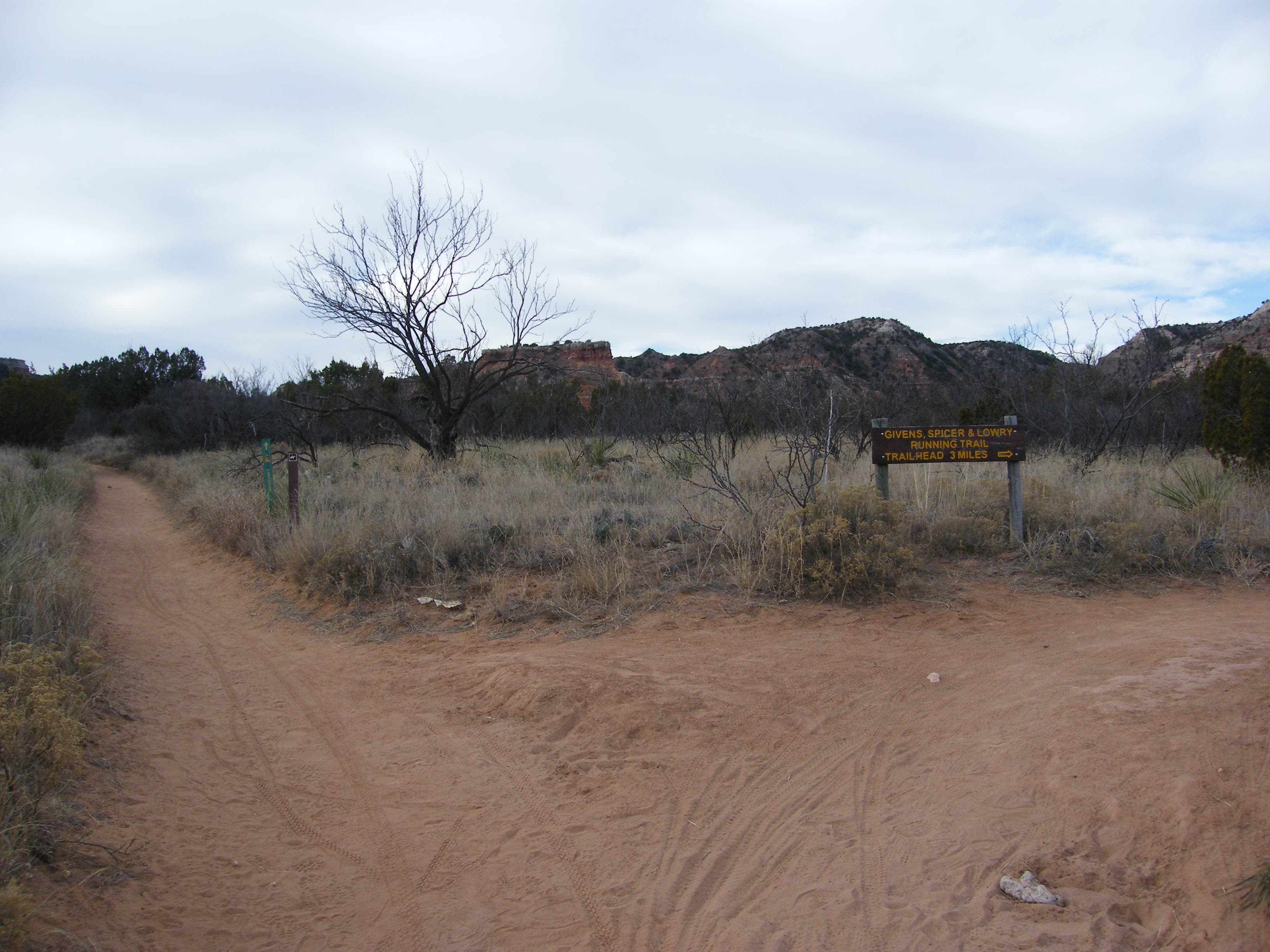
Just past trail post 5 comes the first glimpse of the Lighthouse, still too far away to appear very impressive. Past this, you’ll top a gully and have a somewhat closer view. Pass the intersection with the Givens, Spicer & Lowry running trail, then cross another dry bed. Here, another bench provides a full view of the Lighthouse. Traverse three steep gullies before reaching a picnic table and bike rack. If you’re mountain biking, leave your ride here. It is a scramble up the steep butte on which the Lighthouse rests, some of it lose and slippery, to a bench with a full-on view of the formation. You can go a short distance more and climb to the base of the Lighthouse, or just spend time enjoying it here.
Return the way you came. Notice how different light angles change the cliffs and rocks, and watch for painted buntings, canyon wrens and hawks.
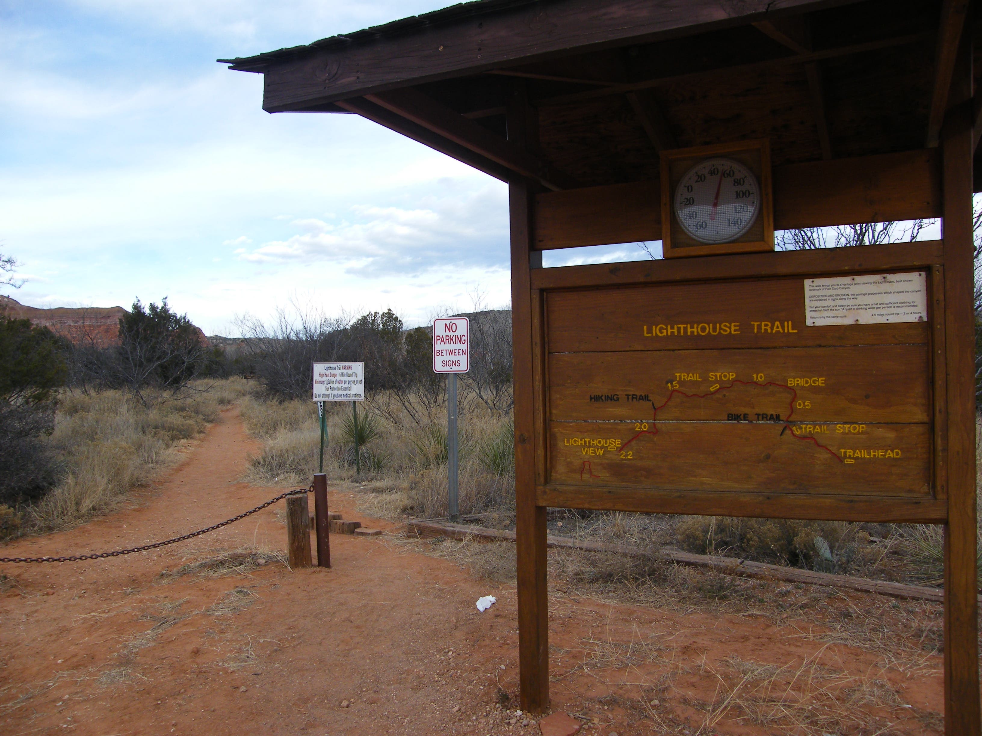
TO TRAHILEAD: Take I-27 south for 17.2 miles and get off at exit 106. Follow TX 217/Palo Duro Drive east for 10.5 miles to nd Palo Duro Canyon State Park. Once in the park, drive the steep, switch-back road into the canyon. Park at the trail head just past the second low-water crossing. Note: There are restrooms right after the first water crossing, but none at the trail head or on the trail.
Trail Facts
- Distance: 9.2
Waypoints
LHT01
Location: 34.951437, -101.667817
Head west from the floor of Capitol Peak Canyon on the Lighthouse Trail. Winding to the north are the cottonwood and salt cedar lined banks of Prairie Dog Town Fork of the Red River, which carved these canyons eons ago.
LHT02
Location: 34.952033, -101.670617
Keep left at Y-intersection
LHT03
Location: 34.95169, -101.670829
Keep right at T following signs to Lighthouse.
LHT04
Location: 34.95168, -101.672014
Get your first view of Capitol Peak’s (3,158 feet) orange and brown top towering above
LHT05
Location: 34.952243, -101.673545
Get some background info from the trailside interpretive signs
LHT06
Location: 34.956007, -101.675749
Top of wash above the sandy spread of Sunday Flats.
LHT07
Location: 34.956145, -101.677403
Spot on top of a small ridge with a bench where you can take in the scenery across the juniper and yucca stands dotting Sunday Creek to Timber Mesa and Rustlers Draw.
LHT08
Location: 34.953633, -101.683181
Just past the 2,900-foot contour line, look north to Devils Tombstone (3,209 feet) shooting up above Sunday Flats.
LHT09
Location: 34.951946, -101.68615
First view of the formation
LHT10
Location: 34.950526, -101.68882
At the top of this wash, a clear view to the striped, sandstone layers of the Lighthouse emerges
LHT11
Location: 34.949356, -101.689577
Left at Y, continuing south.
LHT12
Location: 34.947318, -101.688757
Here you’re right below the eastern flanks of Capitol Peak Mesa where Sunday Creek’s bends (usually dry by now) have cut a steep wall, exposing bands of four distinct geologic periods spanning over 240 million years. See if you can spot the outline of fossils in the crumbling rock layers
LHT13
Location: 34.944286, -101.692115
The Lighthouse continues to dominate the view to the south
LHT14
Location: 34.940091, -101.695397
Just past another crossing of the Sunday Creek bed, find a picnic table & bike rack
LHT15
Location: 34.937254, -101.696615
From here, the Lighthouse (3,269 feet) towers over you. Just to the east is the Castle Peak. Soak up these views as an ample reward. Return to trailhead via the same route.
Along the trail
Location: 34.954548, -101.674905
Picnic table, bike rack.
Location: 34.939941, -101.695375
Info kiosk at trail head
Location: 34.951664, -101.66718
Mule deer
Location: 34.951805, -101.669154
Capitol Peak and interpretive sign
Location: 34.951594, -101.671295
Effects of trail cutting
Location: 34.952368, -101.674004
Covered bench
Location: 34.953493, -101.683488
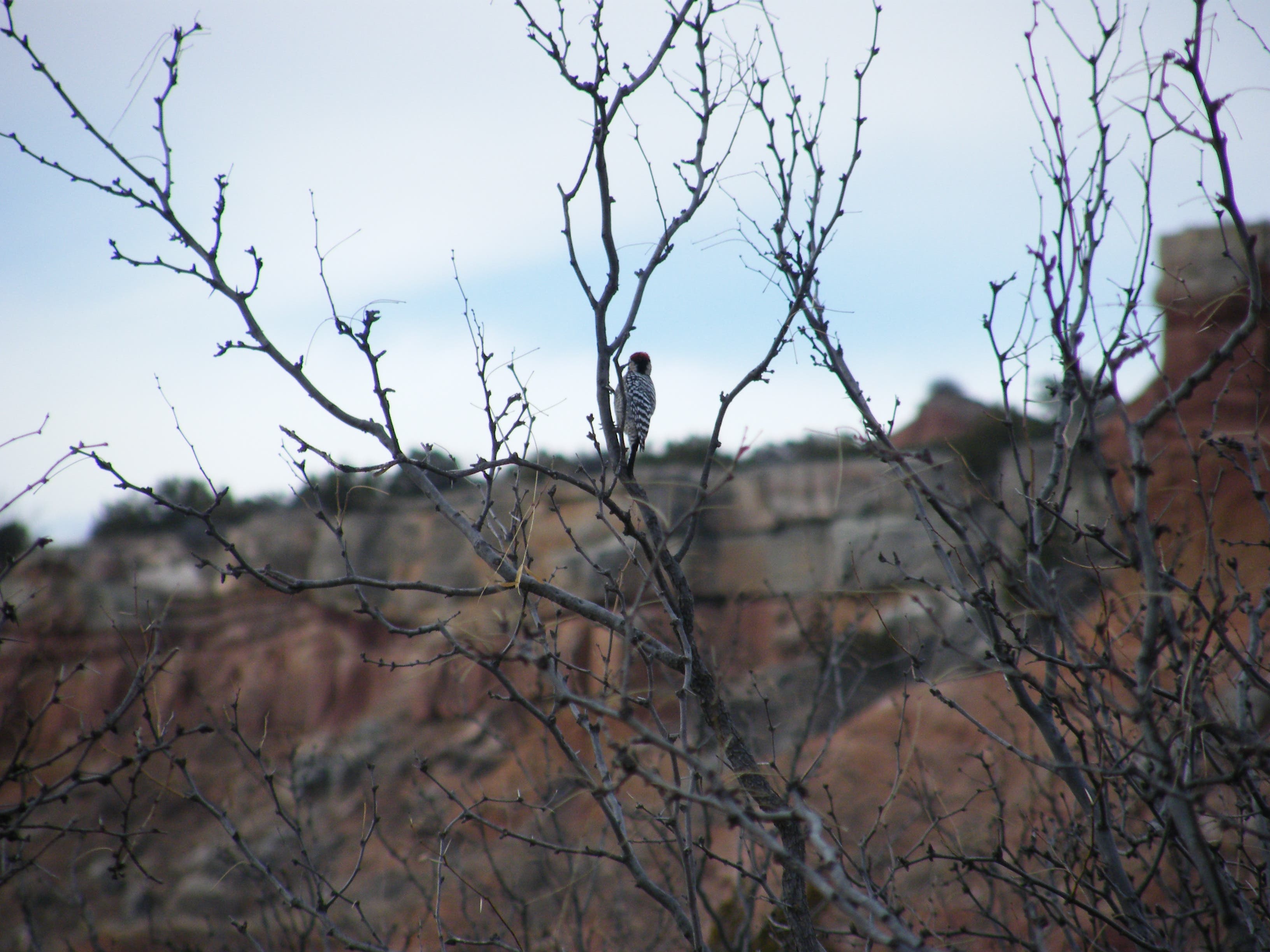
Woodpecker
Location: 34.955709, -101.678188
First view of Lighthouse
Location: 34.951981, -101.686471
Lighthouse view.
Location: 34.944453, -101.691942
Steep scramble
Location: 34.93889, -101.695762
Lighthouse up close.
Location: 34.937391, -101.696615
Trail intersection and signage
Location: 34.949386, -101.689555