Published September 19, 2013 11:04PM
Alpine Lakes Wilderness, WA: Rampart Lakes
Pack for a quick overnight in the Alpine Lakes Wilderness and discover hidden alpine lakes and the stunning panorama of peaks that is the Central Cascades.
There’s always time for a scramble up the side of a mountain. So when we discovered that Alta Mountain wasn’t too far beyond our planned hike to Rachel Lake our interest was piqued. At 6,240’ Alta not only promised some long views into the Central Cascades, but all of our trail maps ended near the base of the mountain. Excited to do some exploring off the trail, we geared up and headed out beyond Snoqualmie Pass to the trailhead.
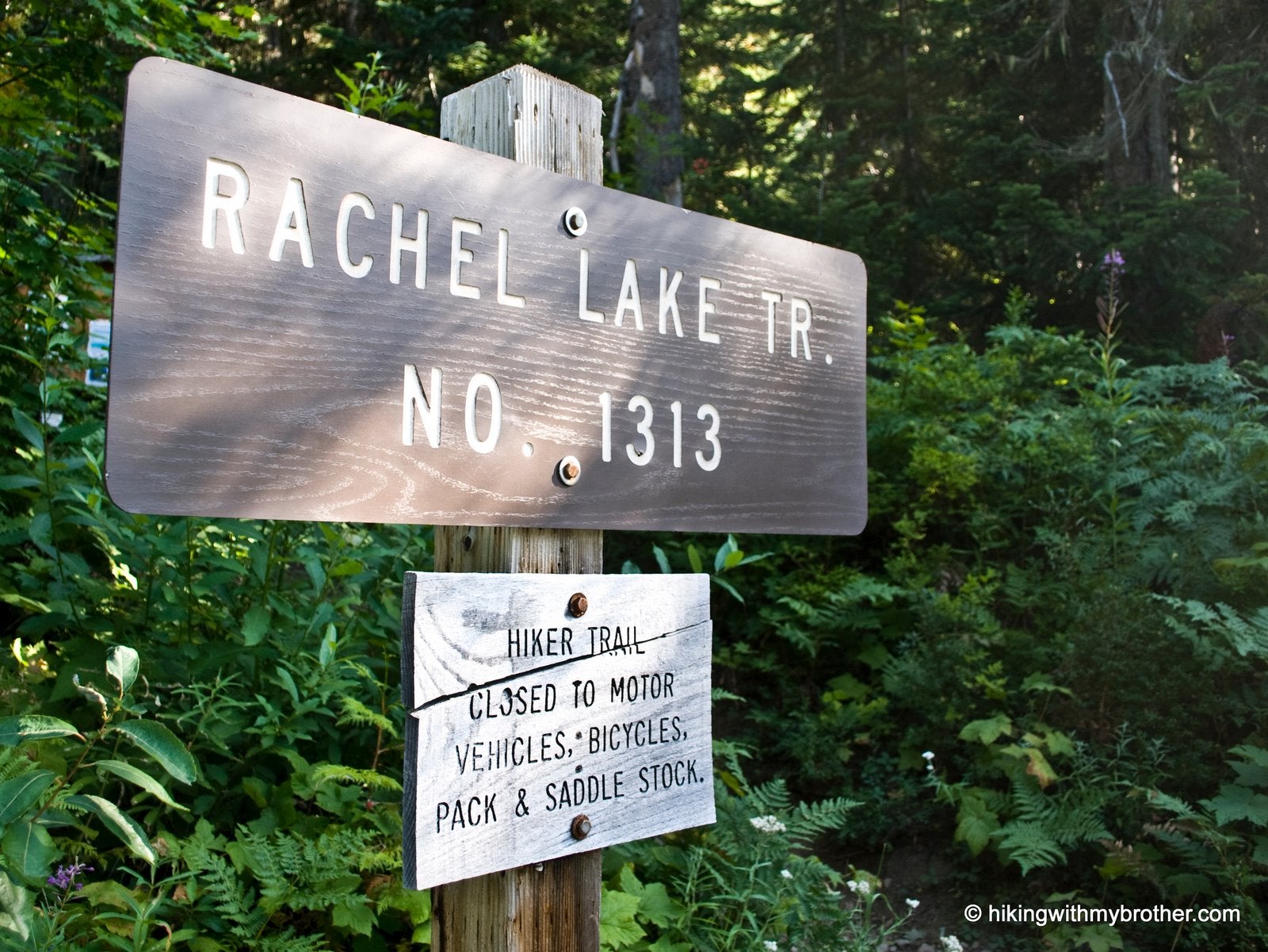
The Rachel Lake Trail #1313 has always been a rough one. The trailbed is more rock and root than actual packed earth, a tangled mess full of trips and tangles, loose rock and unstable footing. Over the years many an agency has tried in vain to find a better route to the lake, but thus far it has fallen to volunteer groups such as the Washington Trail Association to do their best to try and smooth out the path to the top. Despite their admirable efforts, the trail remains challenging to navigate.
ADVERTISEMENT
The trail begins on a gentle grade, hugging Box Canyon Creek for the first three miles, crossing numerous streams and cascades as well as dozens of creekside cul-de-sacs, perfect for a taking a break from the trail and clambering around on the rocks. Beneath a thin veneer of dust, stands of pine and cedar are surrounded by endless stretches of blue huckleberry, something of a contrast to the forests on the other side of the pass. The last mile to the lake contains most of the elevation gain, meandering around boulders and occasionally piggybacking on streambeds. As you get closer to the lake the trail begins to splinter, creating a network of interwoven side paths branching off to picnic nooks and secluded camp sites along the shore.
Pressing up toward Alta Mountain, pause on the exposed ridgeline to take in Rachel Lake, quietly nestled against Rampart Ridge with Box Canyon stretching out into the distance. At the saddle, the trail meets up with the Rampart Ridge Trail, which spans the entire length of the ridge from Rampart Lakes up to the top of Alta Mountain. Veer to the right through brush and meadows to another intersection where the trail splits leading up to Alta or continuing on to Lila Lake.
The trail up Alta Mountain is fairly well-defined at lower elevations, but as you trudge up the steep slope the path gets muddled on exposed rock. False summits abound on the way to the top; time and again we’d attain a ledge that we’d taken to be the end of the trail, only to find more mountain to climb. Marked with a gigantic cairn, the summit is breathtaking. The landscape unfolds in all directions. Alaska and Lila lakes can be seen to either side. Rampart Lakes shimmer in the distance to the south, just below Mt. Margaret. To the east the distinctive profile of Hibox grabs for your attention. To the north Chikamin Peak, Four Brothers and Mt. Thompson can me seen. As your eyes sweep west, Alaska Mountain stands above Alaska Lake and Red Mountain can be seen peeking up over Kendall Peak, then Snoqualmie Mountain in the distance with Denny Mountain just to the south.
ADVERTISEMENT
Although the trail is challenging, making this hike feel more difficult than the elevation gains would suggest, the beauty and the view more than make up for effort. Rachel Lake and Rampart Ridge hold more than can be seen in a day, making this hike perfect for a short backpacking excursion.
You can also follow us at: http://www.hikingwithmybrother.com


Trail Facts
- Distance: 6.8
Waypoints
RAM001
Location: 47.400841, -121.283673
Rachel Lake Trail #1313. Look for the start of the trail northeast of the parking area. If you walk off the pavement, you’ve gone too far.
RAM002
Location: 47.403418, -121.285222
Creek Crossing
RAM003
Location: 47.404711, -121.28653
Alpine Lakes Wilderness Boundary
RAM004
Location: 47.422776, -121.329429
Rachel Lake Shore. Many camp sites line the shores.
RAM005
Location: 47.423202, -121.329283
Trail Marker. One mile to Rampart Lakes. It’s easy to accidentally take one of the many false trails that are closer to the lake shore. Find this marker and you’ll know you’re on the main trail.
RAM006
Location: 47.424117, -121.333877
Trail junction. Turn right to head toward Lake Lila and Alta Mountain. Going left will take you to Rampart lakes in about 1/2 mile.
RAM007
Location: 47.418549, -121.33775
Rampart Lakes: TK
Trailhead
Location: 47.40092, -121.283612
ADVERTISEMENT
Rachel Lake Trail #1313. Look for the start of the trail northeast of the parking area. If you walk off the pavement, you’ve gone too far.
Log Crossing
Location: 47.405538, -121.286616
Off trail, crossing a log to get down to cascading waterfall along Box Canyon Creek.
Cascade
Location: 47.405451, -121.286616
Water gushing over the rocks on Box Canyon Creek
Boardwalk
Location: 47.407775, -121.287174
Walking on a nice boardwalk through a marshy clearing.
Waterfall Scramble
Location: 47.422948, -121.315863
Scramble up the creek to a stunning waterfall. A perfect place for a rest.
Rachel Lake
Location: 47.422716, -121.32966
View of the Rachel Lake, looking south.
Trail Marker
Location: 47.423209, -121.329221
Follow the trail up toward Rampart Lakes
Junction Marker
Location: 47.424124, -121.333963
Go right in the direction of Lake Lila