Allentown, PA: Hawk Mountain

A 4.7-mile trek in east Appalachia, this loop around the Hawk Mountain Sanctuary is an ideal day trip for Philadelphia-area hikers looking to sample brilliant fall foliage or experience the wonder of spring and fall hawk migrations. HawkMountain.org offers useful online resources for learning about hawks and raptors, and tracking the best time of year to view their migration.
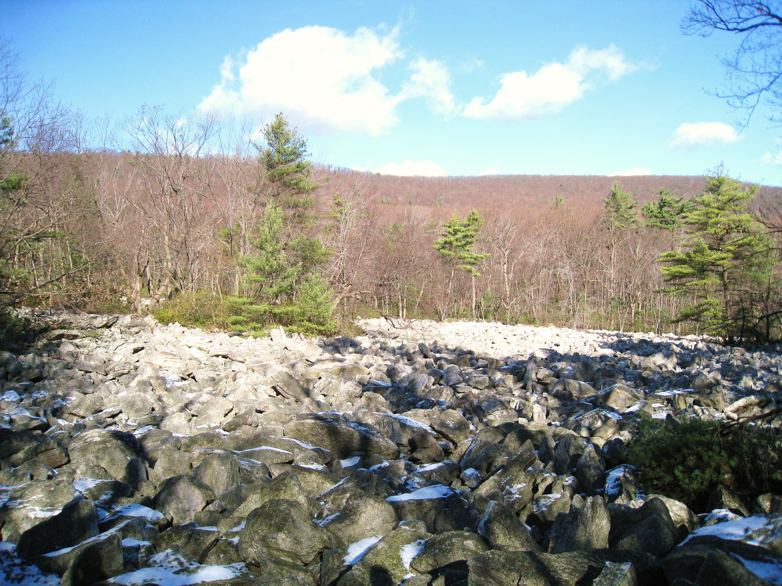
After paying the trail fee at the Visitor Center (if applicable), head northwest across Hawk Mountain Road. Kick off the counterclockwise loop by turning right onto the River of Rocks Trail. From here, you’ll descend (steeply at first) about 600 feet to the valley floor below to hike east past several large boulder fields.
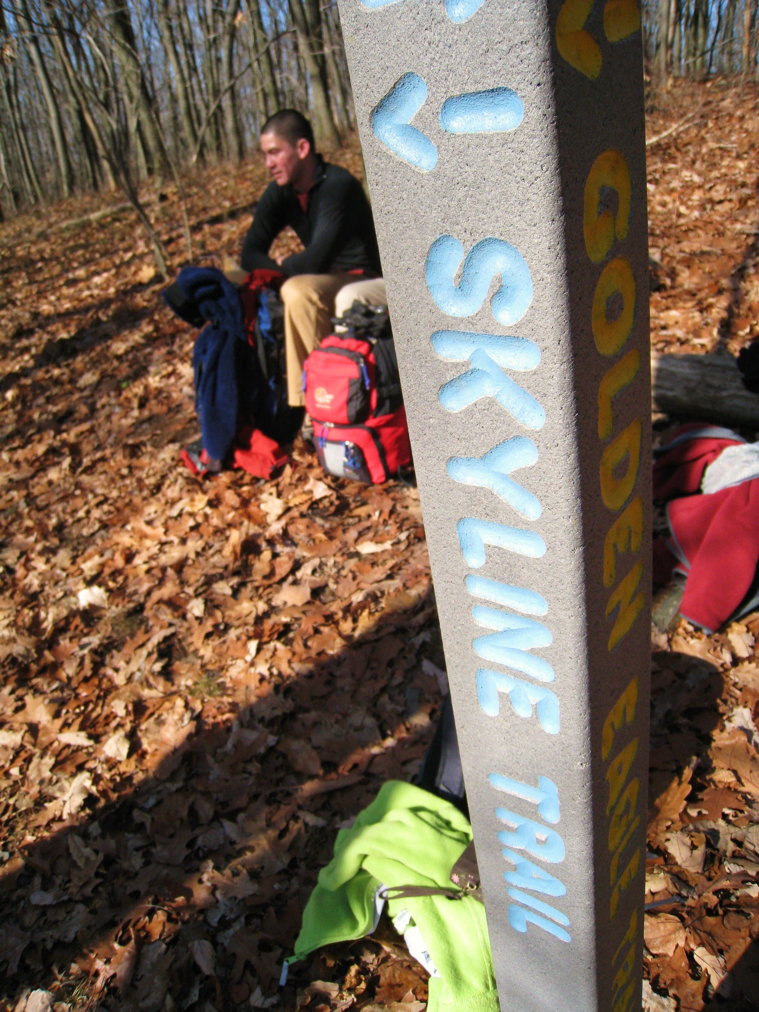
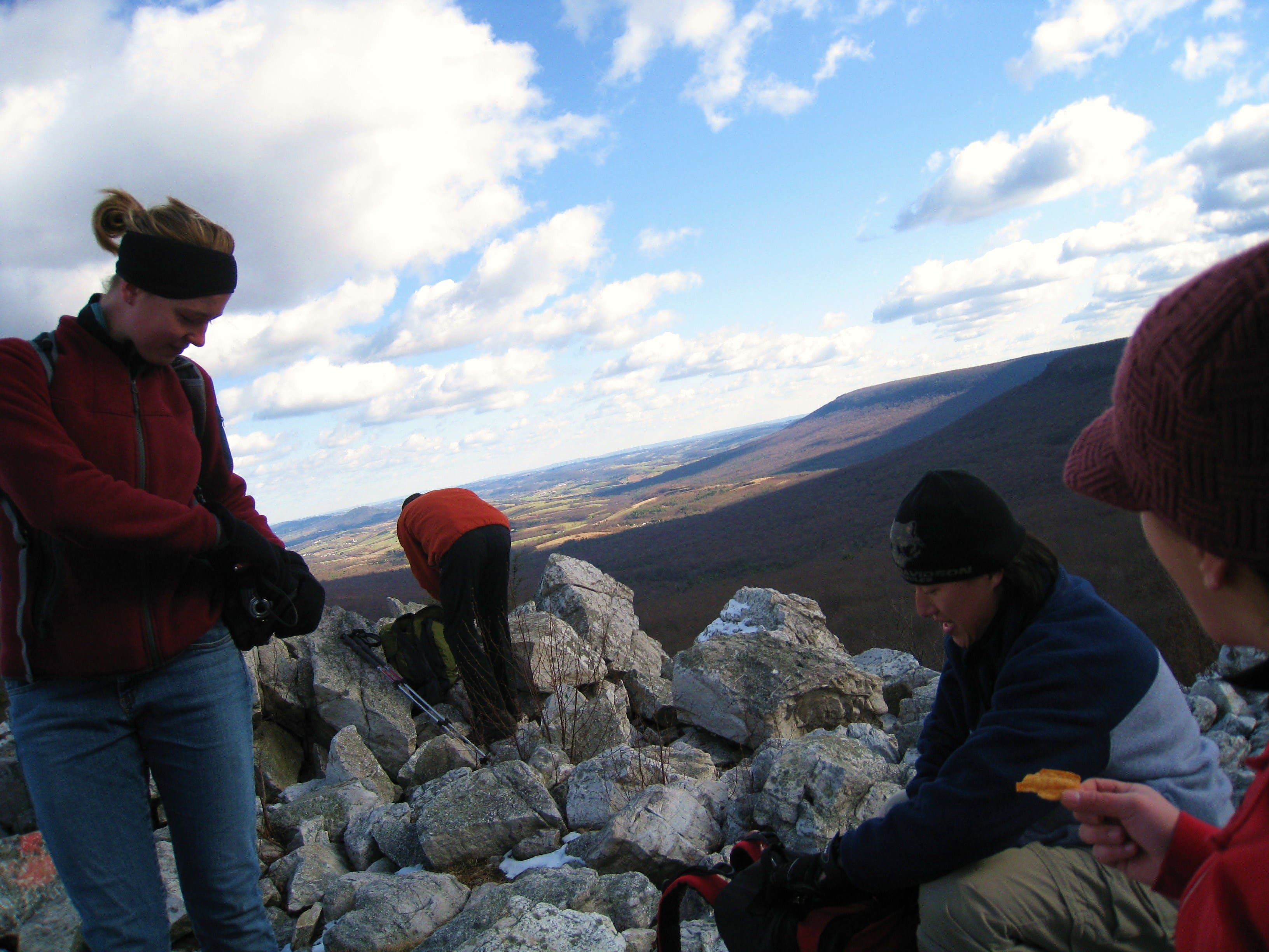
At mile 1.5, turn north for a stiff, 600-foot climb up to the top of the ridge. At a junction with the Appalachian Trail, turn left to walk the Skyline Trail west along the spine of Hawk Mountain. Just past the summit, East Rocks offers a fantastic overlook (migration or not).
Continuing west, you’ll tackle a short, doable rock scramble just before the North Overlook (another popular hawk- and raptor-viewing area). Meander to the overlook (and consider detouring up another boulder scramble to the Sunset Overlook), before turning down the Overlook Trail (which passes several more overlooks) and descending back to the Visitor Center.
-Mapped by Penn Outdoors

Trail Facts
- Distance: 7.6
Waypoints
HWK001
Location: 40.6337282, -75.9872603
After paying the trail fee at the Visitor Center, start hiking northwest on the Lookout Trail. Before you cross Hawk Mountain Road, you’ll pass by the Native Plant Garden, home to over 250 native species (most in bloom late March through early October).
HWK002
Location: 40.6361178, -75.9855437
At the South Lookout, turn right to pick up the River of Rocks Trail. From here, the trail drops approximately 700 feet (down relatively steep terrain) to the valley floor into a boulder field (the trail’s namesake feature).
HWK003
Location: 40.6370704, -75.9787309
Here you’ll pass by the first of a few fairly large boulder fields right by the trail. There’s a bigger one further up the trail.
HWK004
Location: 40.6379252, -75.9732002
A larger boulder field (almost literally a ‘River of Rocks’) is just a short detour off the trail.
HWK005
Location: 40.6379537, -75.9711859
Turn left @ 3-way junction, continuing on the River of Rocks Trail. Straight ahead, a loop trail offers a detour around another boulder field to the east.
HWK006
Location: 40.6401804, -75.9727496
Continue straight @ 4-way junction on the Golden Eagle Connector Trail. To the left, the River of Rocks Trail offers a more gradual climb up toward the North Lookout, but misses out on some great ridgeline walking. To the right is the northern access point for the eastern River of Rocks loop.
HWK007
Location: 40.6472873, -75.9737849
At the top of the ridge, turn left on the Skyline Trail to walk along the spine of Hawk Mountain towards the summit. The Appalachian Trail shoots off to the right, offering a fine out-and-back detour along the ridgeline.
HWO008
Location: 40.6449754, -75.9818745
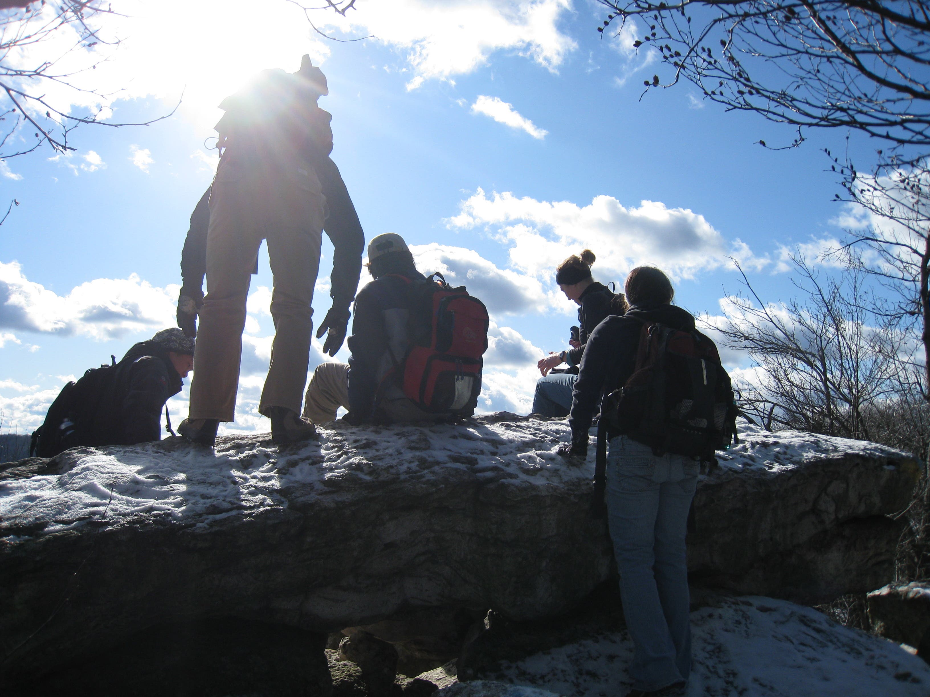
East Rocks: Just past the exact summit of Hawk Mountain, this popular hawk-viewing overlook that offers fantastic views of the migration.
HWK009
Location: 40.6417923, -75.991171
Just below the North Lookout, the trail runs into a manageable, 8-foot scramble. It’s not a technical climb, but you’ll need to have free hands to scale it safely.
HWK010
Location: 40.6407381, -75.9934509
Continue straight at this junction. To the left, the Escarpment Trail offers a challenging scramble down the ridge. Ahead, to the right, the Sunset Overlook heads up a challenging boulder-scramble, blaze-spotting trail to the Sunset Overlook (which affords fantastic views of Schuylkill County).
HWK011
Location: 40.6406607, -75.9936708
After passing the Sunset Overlook turnoff, the Overlook Trail turns southeast down the ridge on more manageable terrain.
HWK012
Location: 40.6381369, -75.9887141
Detour to the left up to the spine of the ridge for one of several overlooks on the way down the Lookout Trail. These overlooks are popular hawk-viewing points during migration. From here continue back down the trail to Waypoint 2 and then backtrack to the Visitor Center.
South Lookout View
Location: 40.6360934, -75.9854847
A view of the Applachian Flyway from Hawk Mountain’s South Lookout.
River of Rocks
Location: 40.6380229, -75.9732378
Skyline Trail Intersection
Location: 40.647271, -75.9735274
East Rocks Overlook
Location: 40.6449754, -75.9819053
North Lookout
Location: 40.6417353, -75.9913427
Hawk Crowds
Location: 40.6416214, -75.9914017
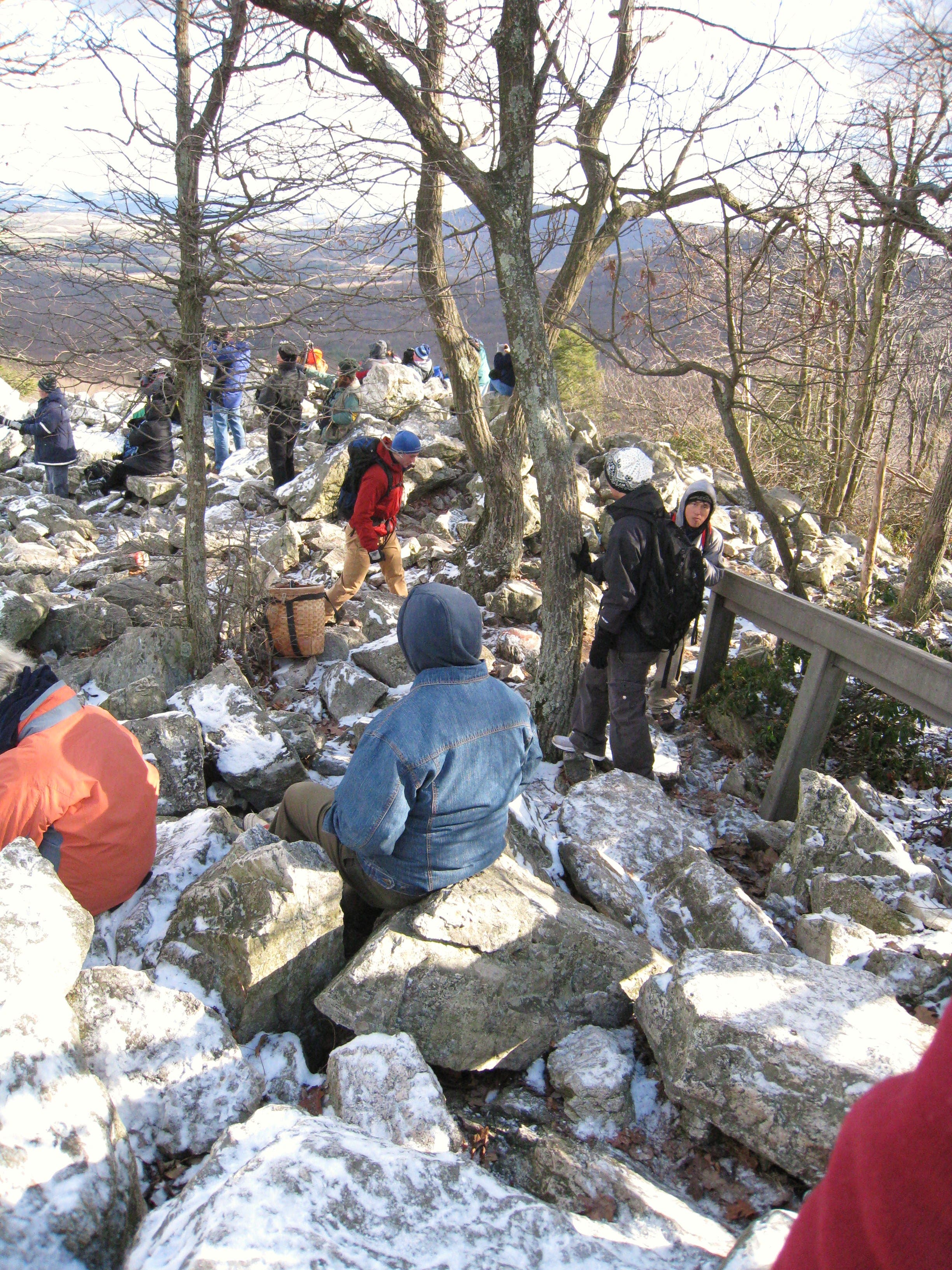
Hawk Mountain’s North Lookout is a popular viewpoint during hawk and raptor migration seasons.
Sunset Overlook
Location: 40.6412277, -75.9946133
Eagle Viewing
Location: 40.6337241, -75.9870672
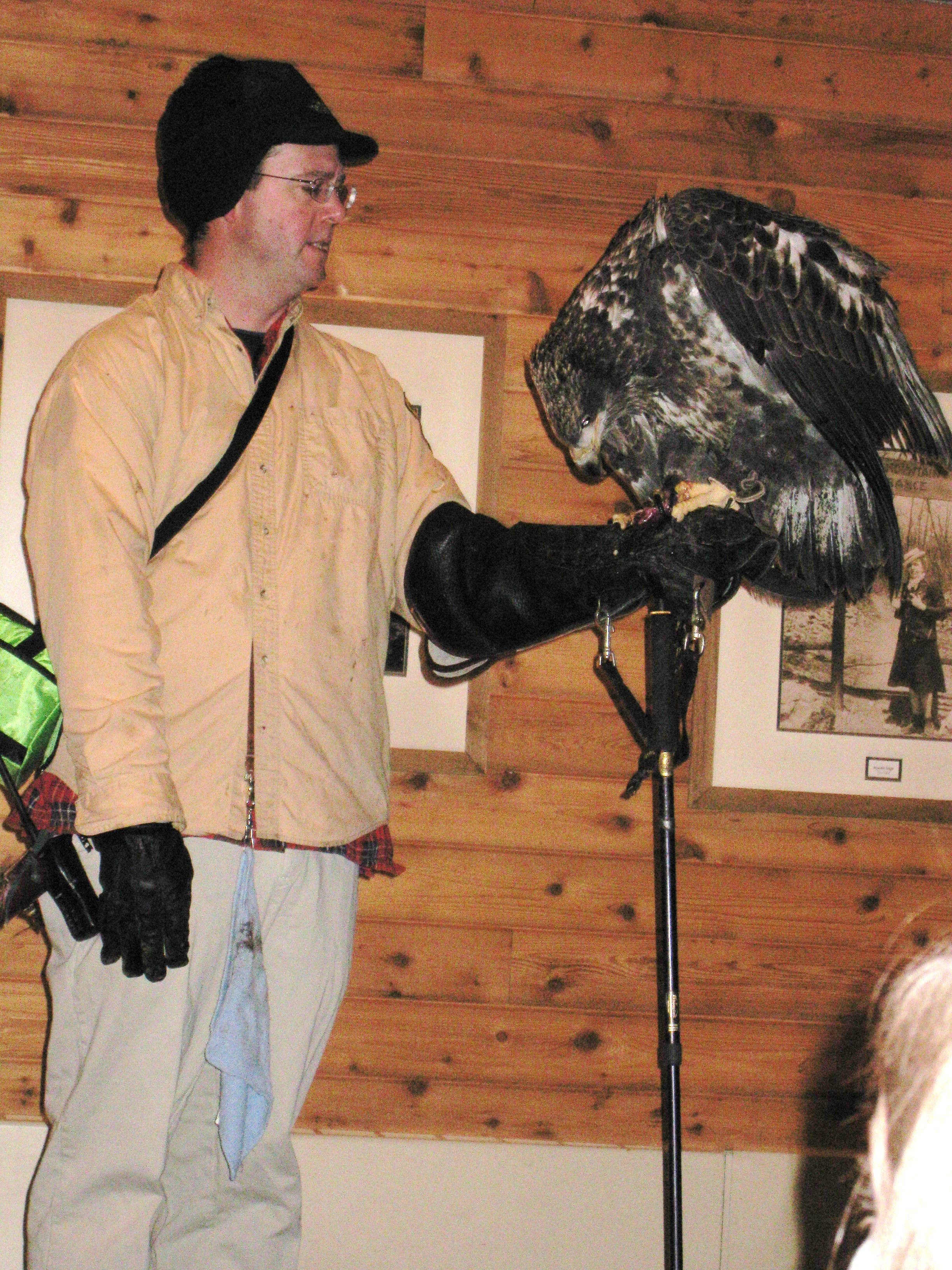
An eagle on display at the Hawk Mountain Visitor Center.