Albuquerque, NM: Ojito Wilderness

The Ojito Wilderness is over 11,000 acres of roadless, trailless New Mexico desert at it’s best. This 4.5-mile loop begins at a primitive trailhead—there are no services in the Ojito so be sure to bring water—and begins by following old doubletrack north from the trailhead. The trail fades as it approaches the base of the Bernalillito Mesa which towers 400 feet above the surrounding desert, and you’ll continue cross-crountry for 1 mile north to the richest hoodoo area on this route. It’s another half-mile trail-less trek to the north edge of the mesa where this route turns east before dipping into a wash. Exploring the rocky desert—leaving relic ponderosa, fossils and any archeological remains in the rocky basin undisturbed. This route climbs up and over a small hill before turning south at the edge of the Arroyo La Jara at mile 3.4 and following it’s rugged contour just over 1 mile back to the trailhead.
Access to the Ojito is difficult or impossible when roads are wet, but the summers are very hot and dry. Bring plenty of water and try to avoid hiking during the mid-day heat of summer.
-Mapped by Rick Schneck


Trail Facts
- Distance: 7.0
Waypoints
OJT001
Location: 35.495388, -106.9213943
There aren’t any services at the pull-out parking lot where this hike begins. Follow the trail north through rough desert toward the base of the Bernalillito Mesa.
OJT002
Location: 35.503793, -106.926198
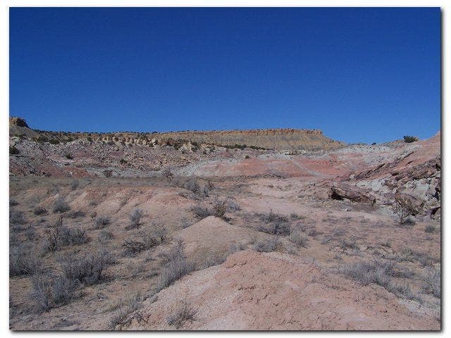
About 1 mile from the trailhead is a hoodoo-filled area below the mesa. Stop for some photos or to rest in the shade of a few of New Mexico’s lowest-elevation ponderosa pine.
OJT003
Location: 35.510256, -106.9294596
After rounding the north edge of the mesa this route heads cross-country to the east. It’s easy to pick your way across the dry landscape–watch for petrified wood.
OJT004
Location: 35.5076185, -106.923902
Instead of climbing the hill to the south, this route follows the bottom of this rocky wash for 0.4 miles before turning south.
OJT005
Location: 35.5073565, -106.9183445
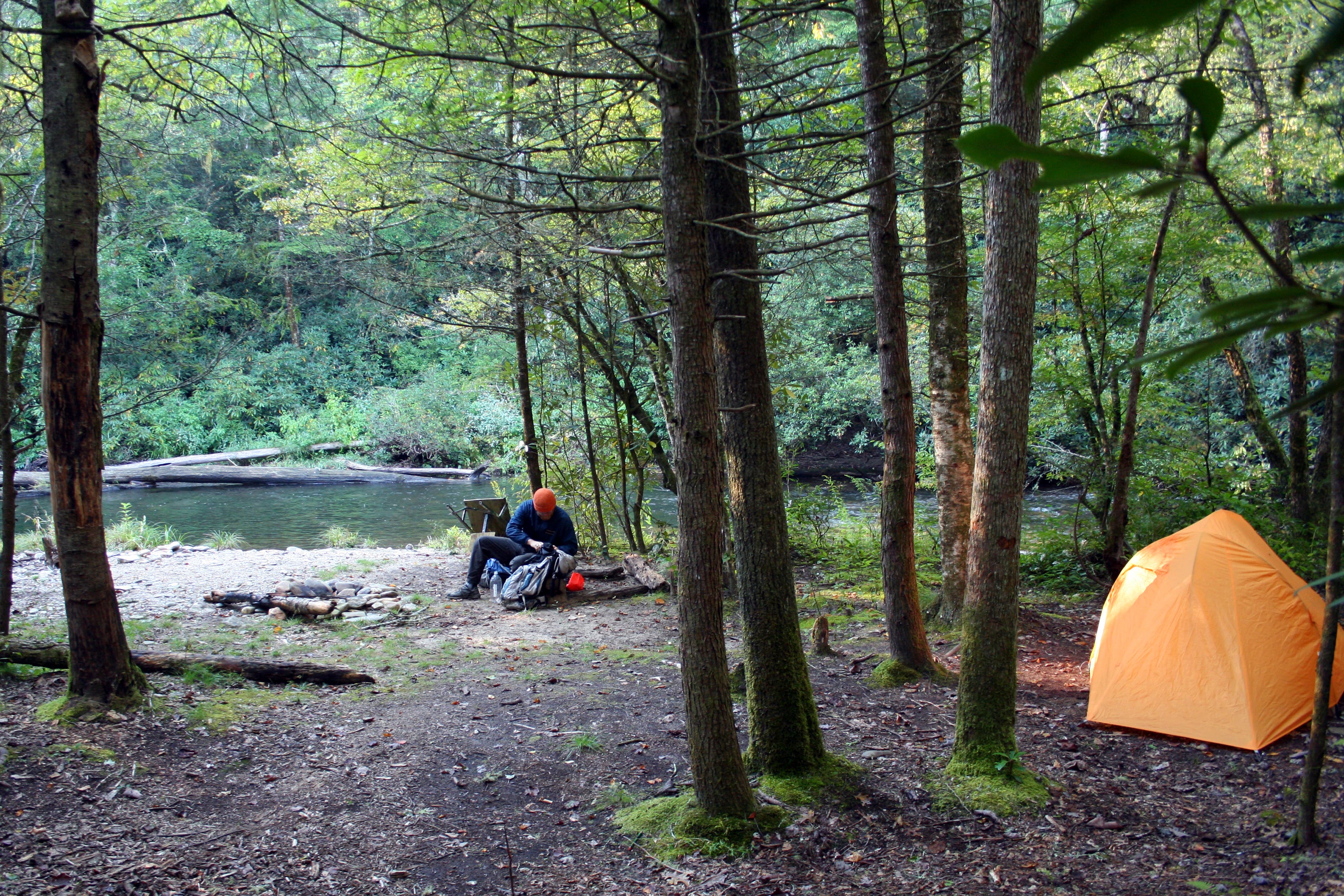
This wide, open flat provides plenty of space for an idyllic overnight. Though this hike is short, there are so many treasures to discover, it’s easy to stretch the exploration into a weekend trip.
OJT006
Location: 35.506518, -106.9124222
The Arroyo la Jara marks the eastern edge of this loop. Just follow it’s contour south until you hit the road.
Trailhead
Location: 35.4951283, -106.9217777
The Bernalillito Mesa’s sheer eastern edge looms above the parking area.
Ojito Parking
Location: 35.4954033, -106.92173
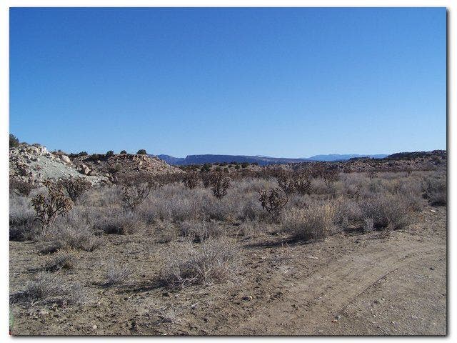
Looking north and east across the Ojito desert from the parking area.
Hoodoos
Location: 35.5026401, -106.925168
Desert
Location: 35.5104103, -106.9210205
There’s no trail across the desert, but it is open and dry which makes it easy to pick a path.
Campsite
Location: 35.5074263, -106.9184303
This wide, open flat area would make a good spot for an overnight, but with no water in sight, you’d have to pack your own.
The Way Back
Location: 35.4997292, -106.9150162
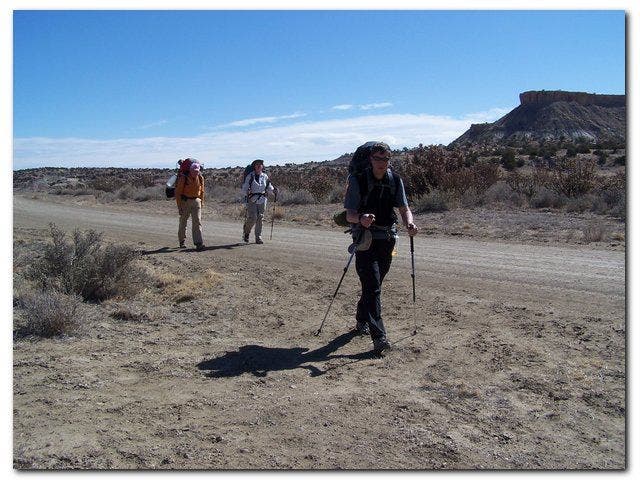
Almost back to the cars
Location: 35.4955788, -106.9169617