Albuquerque, NM: Agua Sarca Canyon Loop

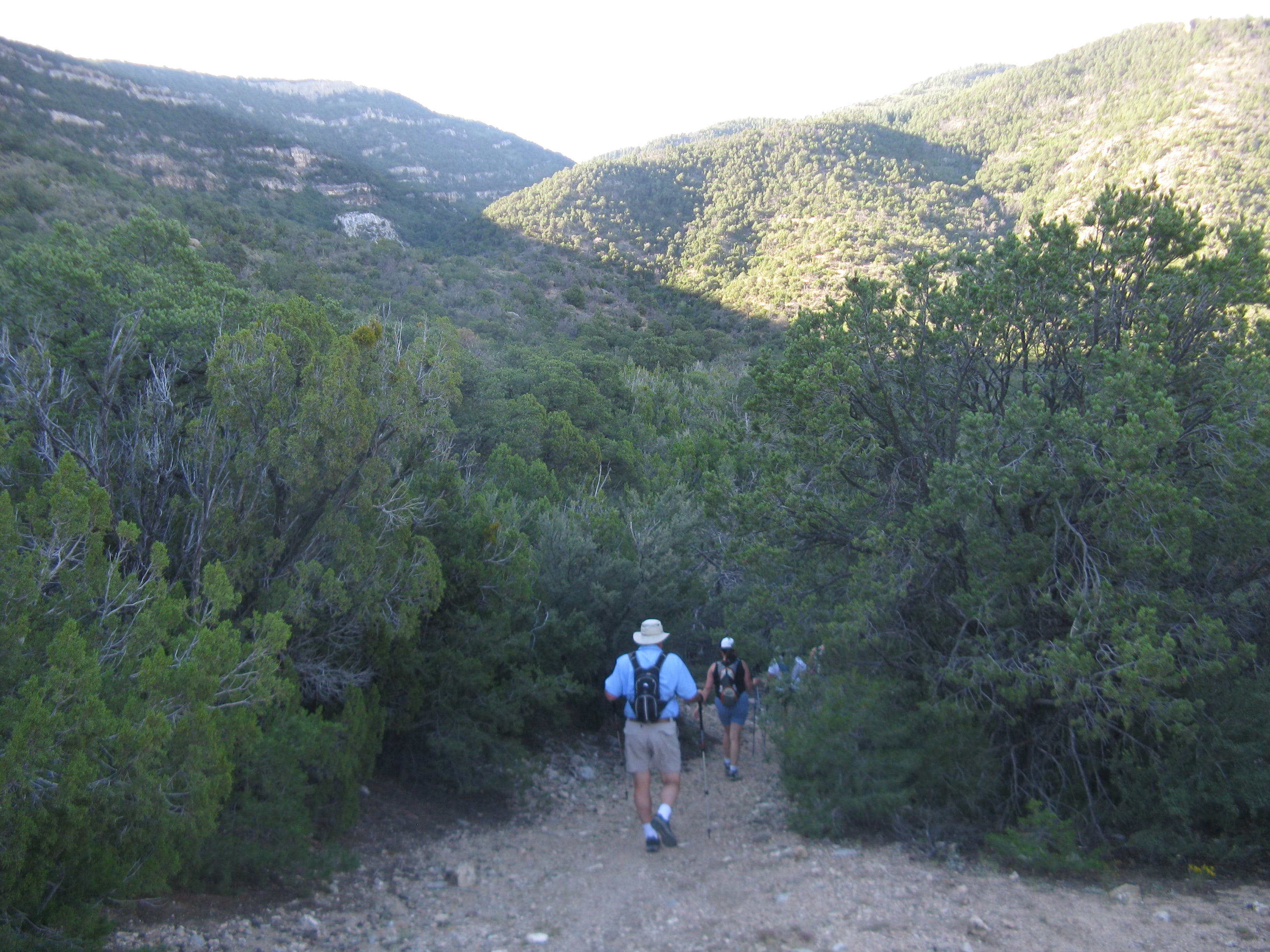
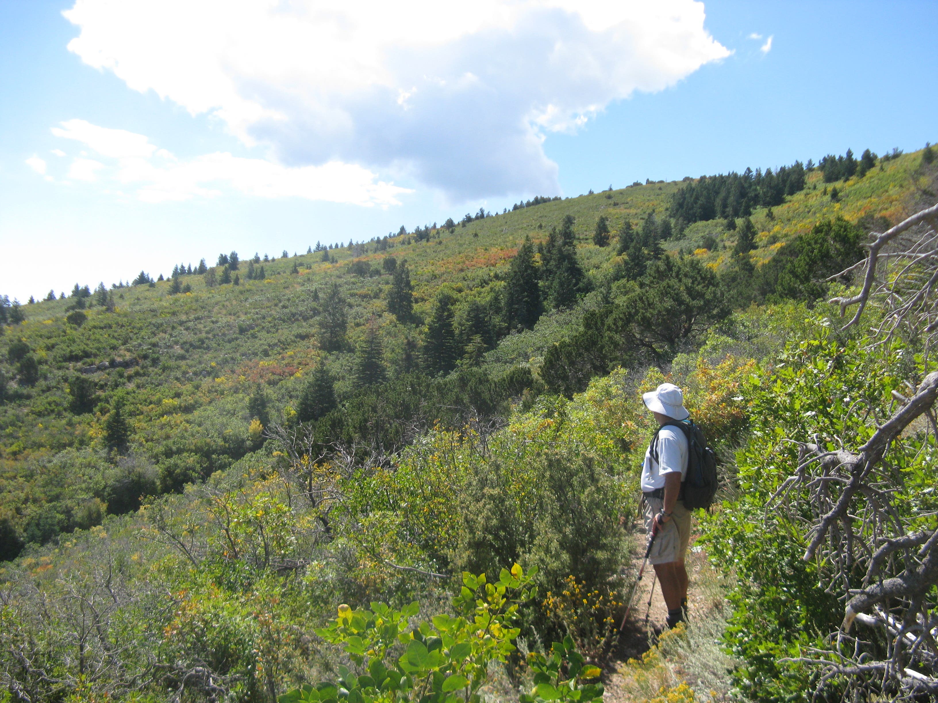
Follow Tunnel Springs Road to the Agua Sarca trailhead to begin your hike: if the tiny dirt lot is full, park 0.1 mile down the road at the Tunnel Springs trailhead. Pick up the Agua Sarca Trail, which begins by following an old jeep road, to dip into a canyon flanked by pine-peppered slopes. At mile 0.6, you’ll begin a 2.3-mile climb from the canyon floor to the route’s high point (9,056 feet) at the junction with North Crest Trail. The high desert panoramas become increasingly more revealing as you push upward through a drainage dotted with pinon trees and scrubby, low-lying vegetation. Just before the North Crest Junction, Albuquerque’s sweeping sprawl comes into view to the southwest.
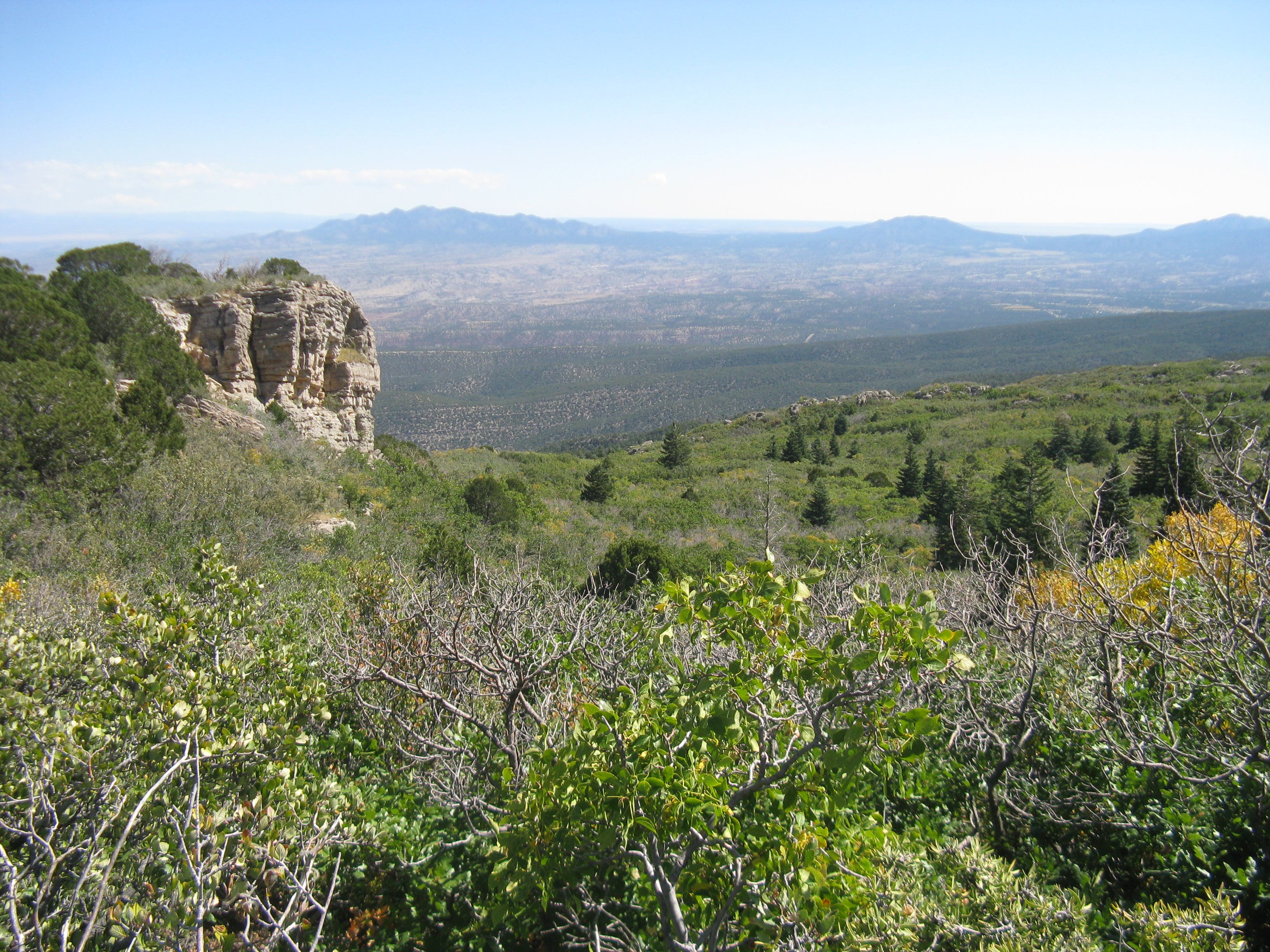
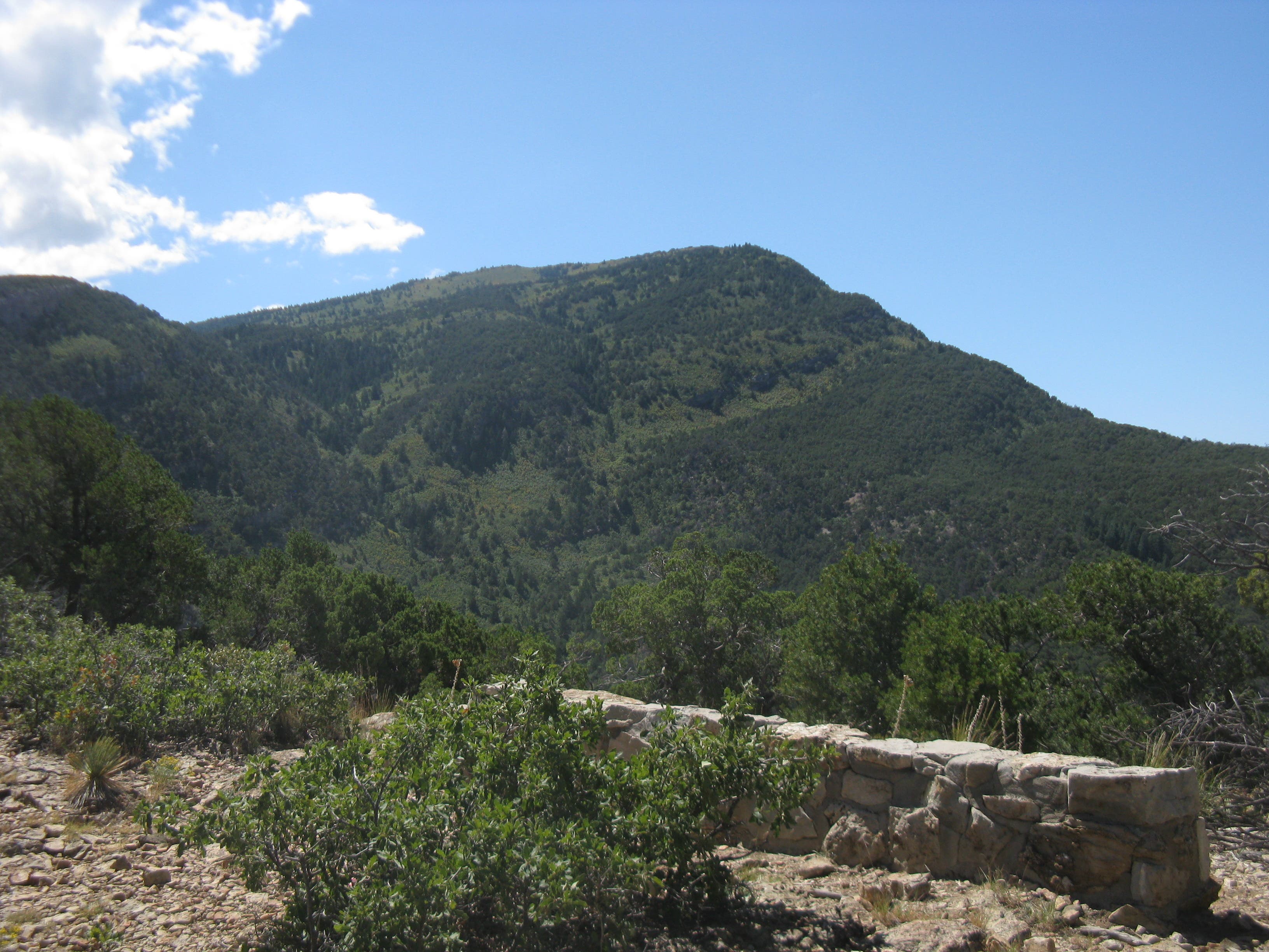
From the junction, traverse the North Sandia Rim while heading east on the North Crest Trail. As you wind slowly downhill, the trail breaks into occasional down-valley views of Agua Sarca Canyon and panoramas of the lower countryside to the east. Near mile 4.4, the trail skirts a high cliff face offering an expansive vista of the rim you just traversed, with the North Crest Trail junction clearly visible to the southwest. After cutting back sharply to the east, the North Crest Trail connects to the Ojo Del Orno Trail at mile 6. From here, it’s a quick, one-mile descent back to your car at the Tunnel Springs or Agua Sarca trailhead.
-Mapped by Charlie Hart
Trail Facts
- Distance: 11.0
Waypoints
ASC001
Location: 35.291419, -106.439323
Park your car at the Tunnel Springs trailhead. Head west to backtrack down Tunnel Springs Road en route to the Agua Sarca Trail. Parking is also available at the Agua Sarca trailhead, but the lot is smaller and usually full.
ASC002
Location: 35.291366, -106.441078
Bear left off the road to head toward the Agua Sarca trailhead.
ASC003
Location: 35.291751, -106.441576
Turn left at the Y-junction to head south on the Agua Sarca Trail, which heads downhill while following a jeep road for its first 0.7 miles.
ASC004
Location: 35.285074, -106.443701
Begin heading uphill near mile 0.6. Over the next 2.3 miles, you’ll gain nearly 2,500 feet while climbing to the route’s high point (9,056 feet).
ASC005
Location: 35.281658, -106.444581
Bear left at the Y-junction.
ASC006
Location: 35.276333, -106.441448
Bear right at the Y-junction to continue pushing uphill.
ASC007
Location: 35.262756, -106.450438
At the Y-junction, bear left onto the North Crest Trail.
ASC008
Location: 35.281569, -106.434945
Near mile 6, turn left to pick up the Ojo Del Orno Trai. The trailhead is less than a mile away.
Agua Sarca Trail: Heading South
Location: 35.288919, -106.442644
Dip between tree-topped slopes while heading south into the Agua Sarca Canyon.
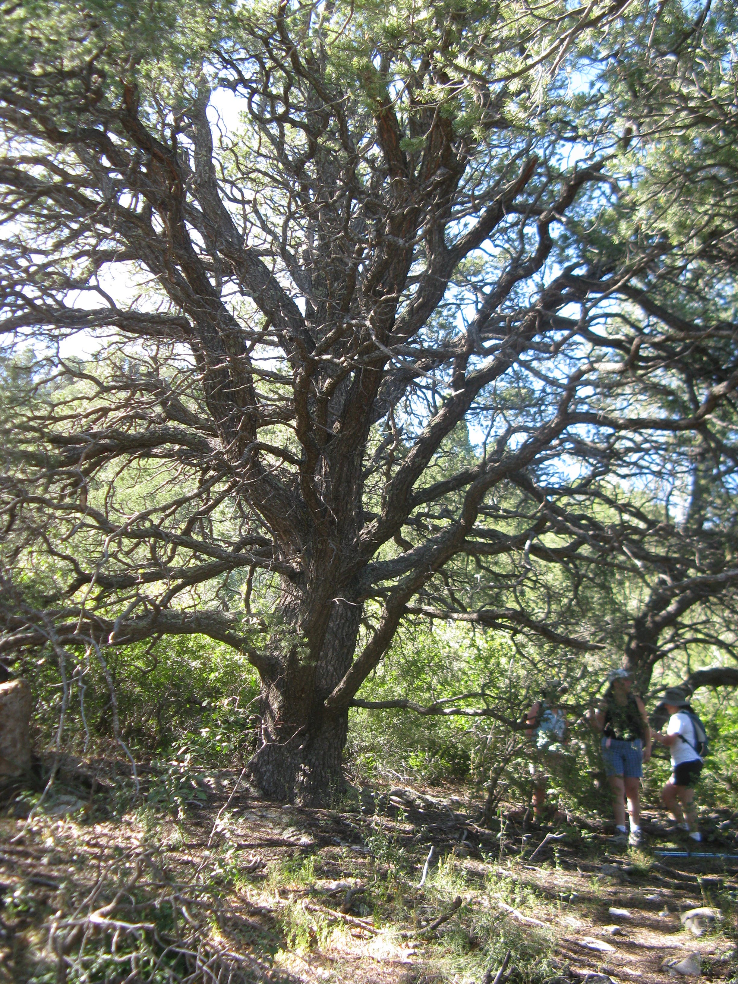
Pinon Tree
Location: 35.272637, -106.445804
This gigantic pinon tree offers shady respite as you push upward.
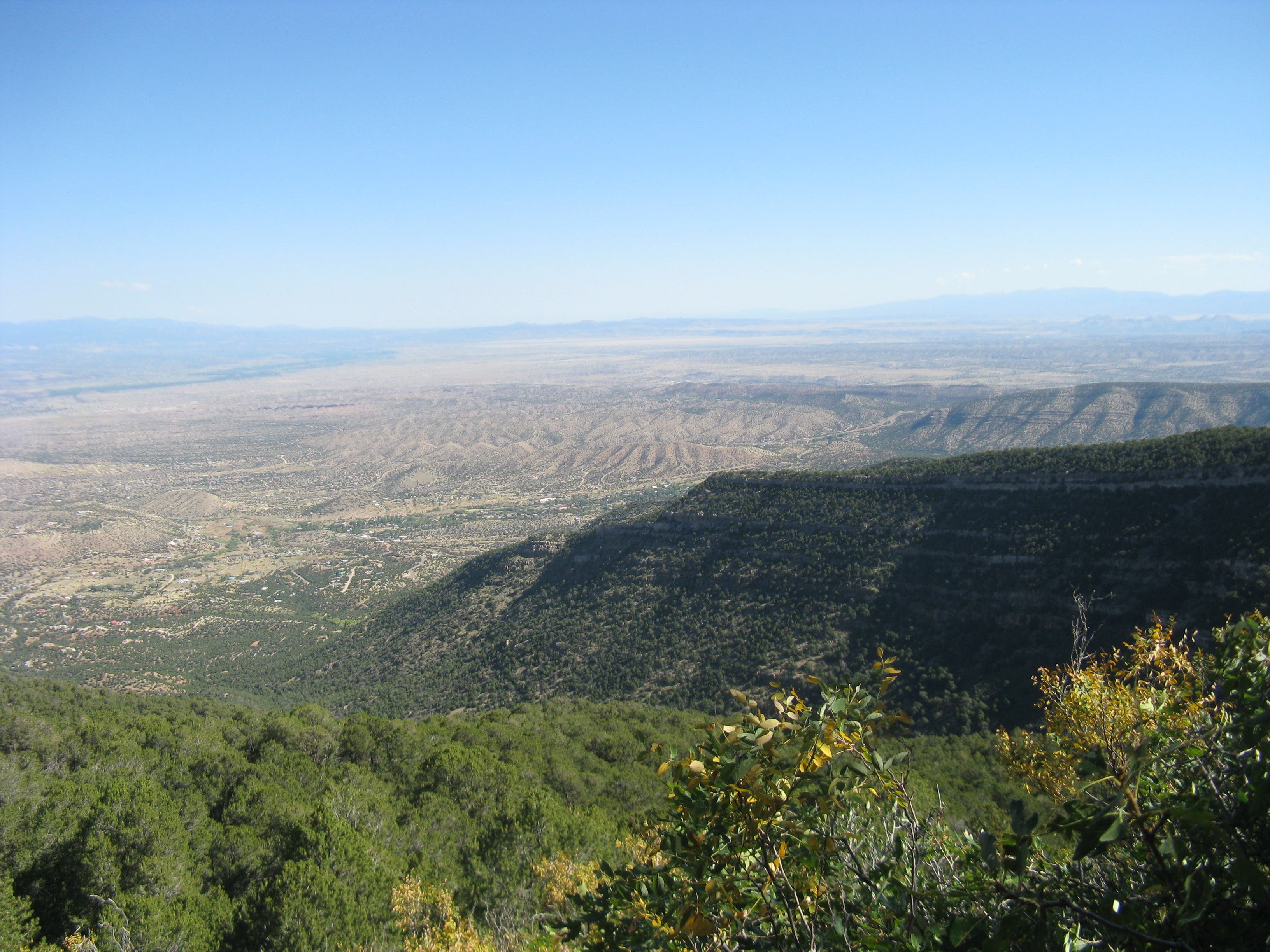
Northern Vista
Location: 35.269378, -106.447563
Near mile 2.4, at an elevation above 8,500 feet, you’ll snag superb vistas of the Agua Sarca stretching toward the city of Placitas to the north.
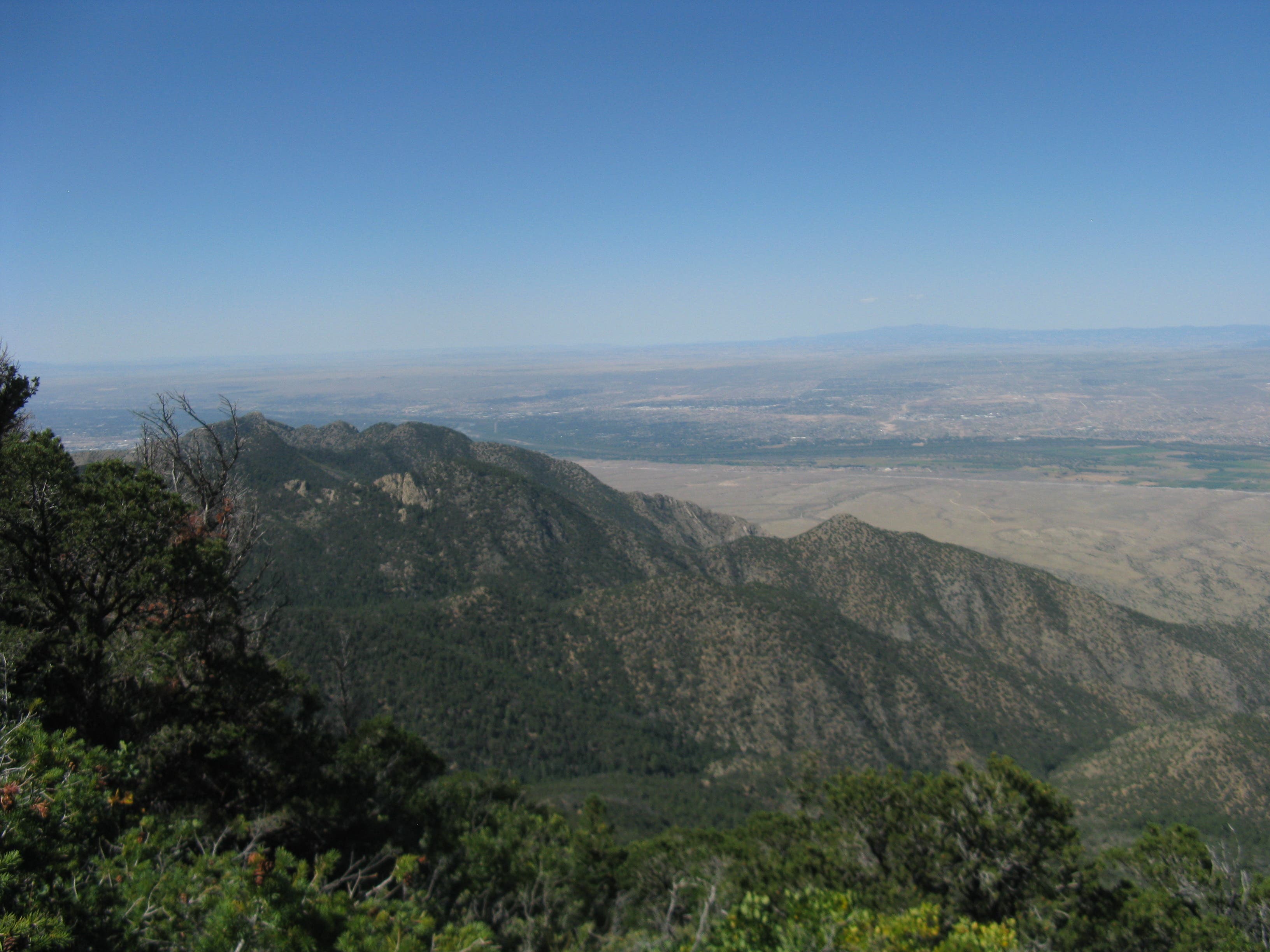
Albuquerque Panorama
Location: 35.263211, -106.450224
Just before the junction with the North Crest Trail, catch views of Albuquerque extending to the southwest.
North Crest Trail
Location: 35.262055, -106.449151
While traversing the North Crest Trail, look south for down-valley views of Agua Sarca Canyon.
Eastern Panorama
Location: 35.262826, -106.440954
Looking east from the North Crest Trail.
Agua Sarca Canyon
Location: 35.272812, -106.439495
From a stone bench perched above a high cliff at mile 4.4, look southwest for an expansive vista into Agua Sarca Canyon. The high point visible is the junction between the Agua Sarca Trail and North Crest Trail.