Adirondack Park: Whiteface Mountain

An Adirondack classic, the trek up Whiteface Mountain from its Lake Placid approach is no easy accomplishment. From the trailhead on Connery Pond Road, the summit climb starts along a mellow grade, but finishes with a grueling, 2,500-foot ascent: it’s an all-day effort for most hikers.
Roughly 2.4 miles in, bear right at a junction to Whiteface Landing and head northeast up the Whiteface Brook drainage. After crossing the brook, the trail meets a lean-to shelter and starts to climb. Paralleling the brook, the conifer-flanked trail becomes increasingly rocky as the climb continues. After climbing up the low end of a cliff (and a washout above it), you’ll approach the first tree-free view to the south (mile 5.3). From here, continue the ascent, following yellow blazes up the talus slope.
It’s another half mile or so of steep climbing to the rocky summit area of Whiteface where a castle-like observatory offers well-earned views south across the Adirondack High Peaks, east to Camel’s Hump in Vermont, and north to Montreal. Enjoy the vistas before backtracking to the trailhead at Connery Pond.
-Mapped by Lisa Densmore, DensmoreDesigns.com


Trail Facts
- Distance: 18.7
Waypoints
WTF001
Location: 44.3087812, -73.9364802
Start at the trailhead by the sign-in box on Connery Pond Road. Heading northwest on a dirt road, the route skirts a private camp on Connery Pond and then narrows to a footpath, which follows the western side of the pond.
WTF002
Location: 44.3139554, -73.9371029
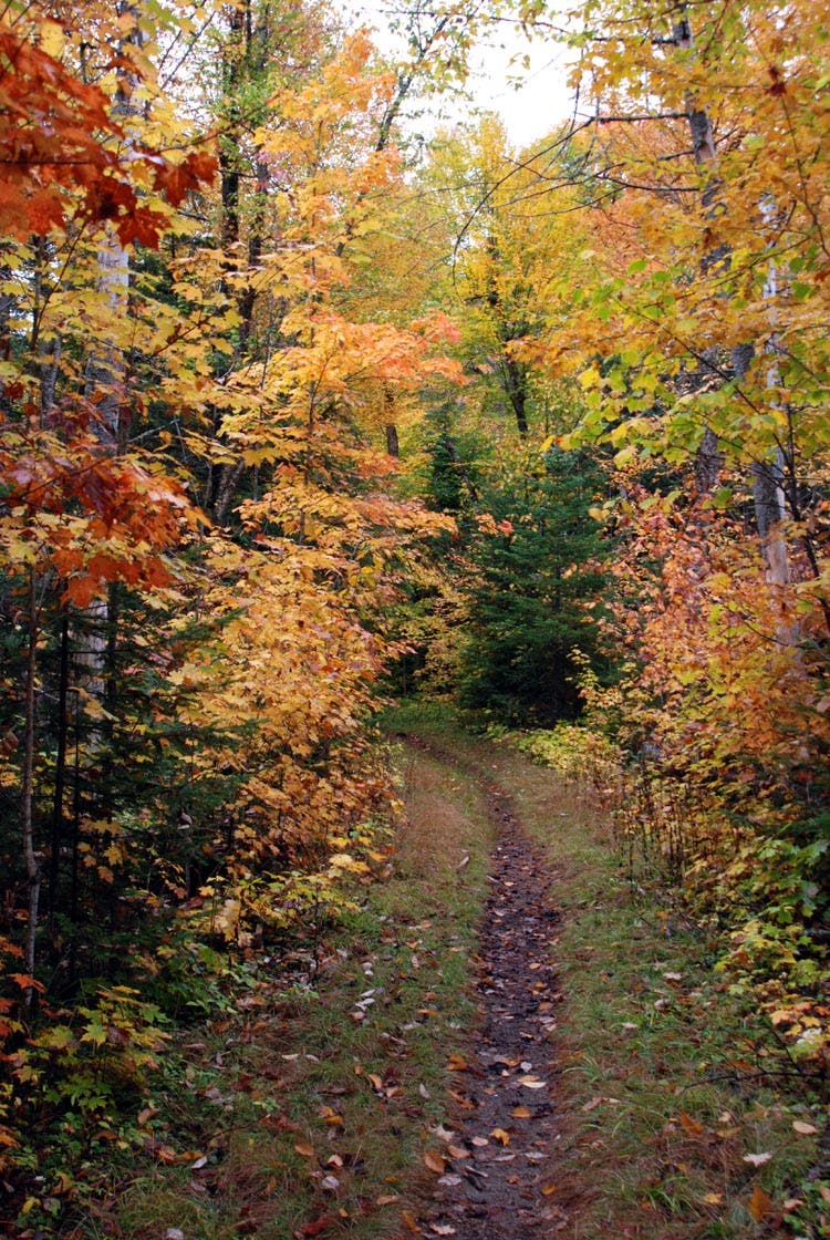
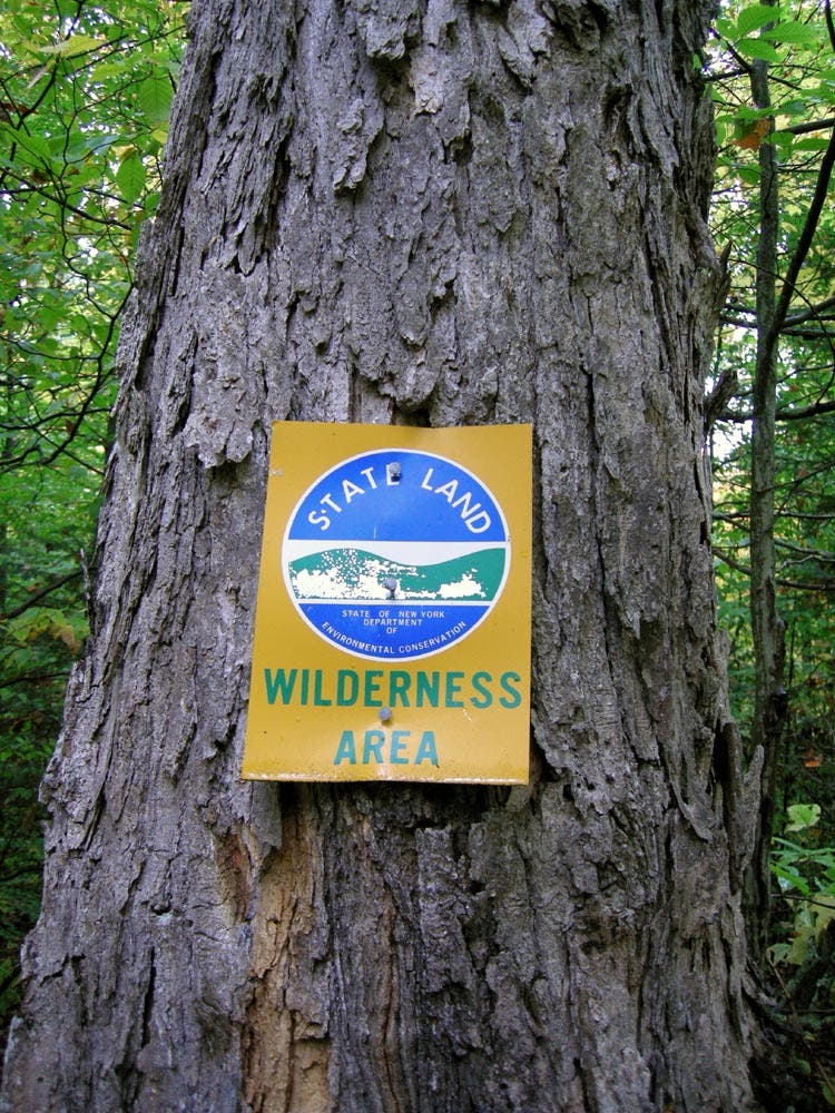
Walk around the gate that marks the boundary of the MacKenzie Wilderness. On humid summer days, this section can be a buggy slog, but by early fall, the bugs disappear and the forest ignites with color.
WTF003
Location: 44.3385615, -73.944573
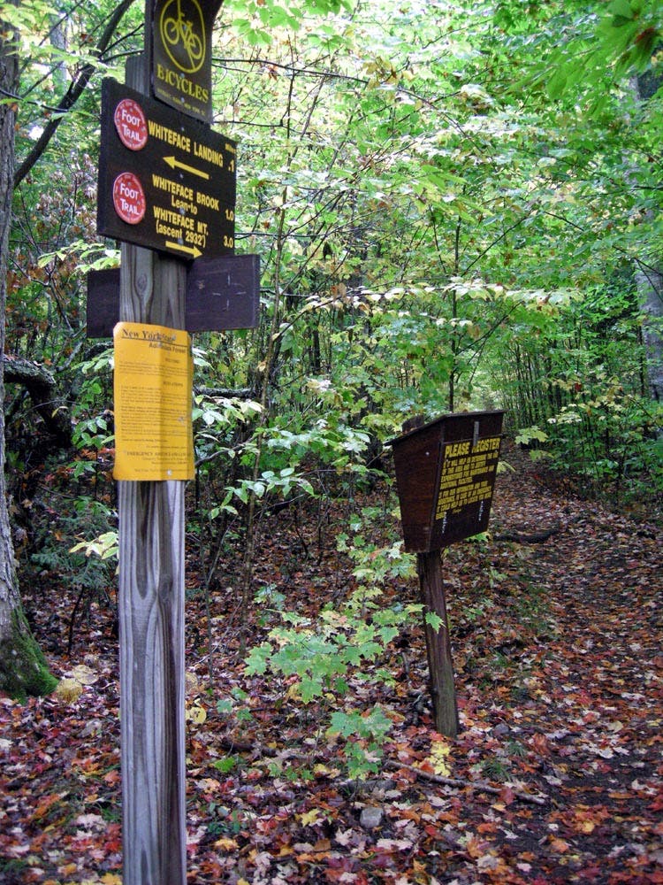
Bear right (northeast) at the junction with the trail to Whiteface Landing.
WTF004
Location: 44.3426499, -73.9312935
Cross Whiteface Brook and continue uphill, following the brook.
WTF005
Location: 44.3450997, -73.9275686
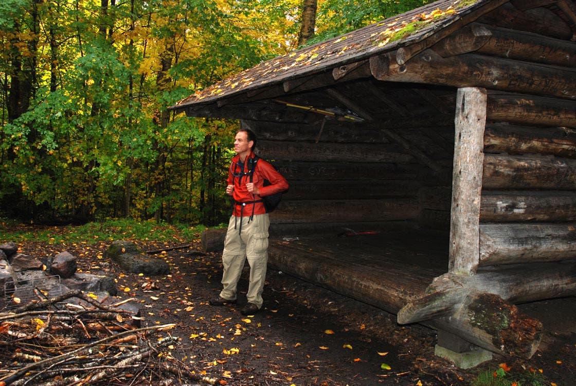
Pass by Whiteface lean-to; from here, the climb up the southern face of the mountain kicks up to a significant grade (you’ll gain 2,500 feet over the next 3 miles).
WTF006
Location: 44.3592978, -73.9085054
Enter the krummholz zone and enjoy the first clear views to the south. Continue climbing the talus slope. Just 0.7 mile remain to the summit.
WTF007
Location: 44.3657652, -73.903088
Whiteface Mountain (4,867 ft.): An observatory/summit museum is just ahead, beyond a small viewing platform. The castle is 300 vertical feet above the end of the road and affords views east to Camel’s Hump in Vermont, north to Montreal, and south to various Adirondack High Peaks (including Giant, Noonmark, Dix, Nippletop, Gothics, Marcy, and Algonquin). When you’re ready, retrace your route to the trailhead.
Whiteface Castle
Location: 44.3660324, -73.9030552
The summit observatory on Whiteface Mountain.
Trail by Connery Pond
Location: 44.3106295, -73.9383531
MacKenzie Wilderness Boundary
Location: 44.3139306, -73.9373016
Whiteface Landing Junction
Location: 44.3384296, -73.9445114
Lean-to
Location: 44.3450284, -73.9274311