Adirondack Park: Rooster Comb-Snow Mountain Loop

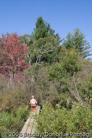
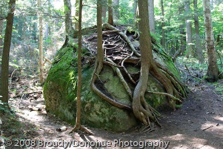
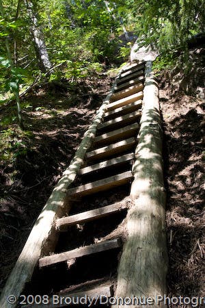
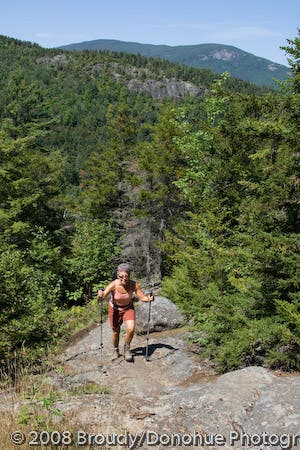
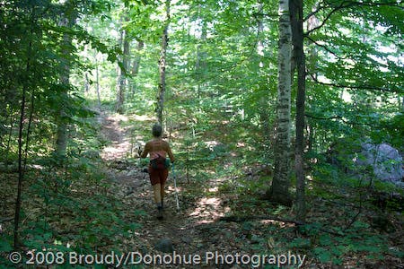
On beautiful days when the neighboring Noonmark Mountain is teeming with hikers, you’ll find a bit of solace by knocking off two Adirondack summits with one dayhike. Starting from the parking lot on the west side of NY 73 just outside Keene Valley, begin hiking west through a swampy bit of trail protected by planks. The first 2.5 miles of the hike (gaining just over 1,500 feet) are the real challenge of the day, but there are plenty of trailside distractions to keep your mind wandering while your lungs and legs are throbbing. En route to the Rooster Comb summit, you’ll pass a gnarly root-and-rock formation (straight out of MoMA), an optional overlook detour, and a steep trail ladder (straight out of a treehouse).
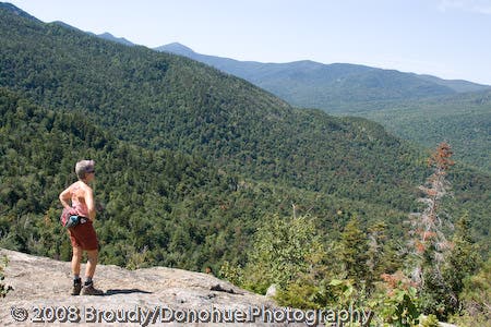
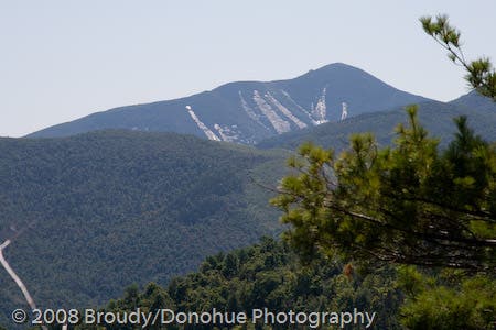
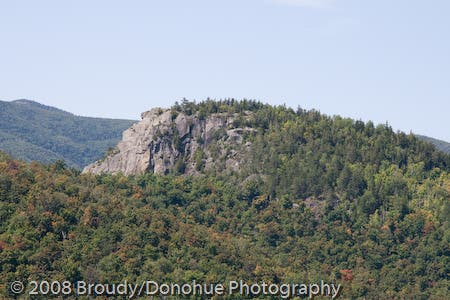
At the rock outcropping summit of Rooster Comb, take in expansive views of the Adirondack Preserve (and High Peaks) before backtracking down the trail and heading east on a gradual descent to Snow Mountain. This second, short climb challenges with a bit of manageable rock scrambling before rewarding with a similar overlook to Rooster Comb’s. From here, backtrack down Snow and descend through the Flume Creek drainage to close off the counter-clockwise loop and return to the trailhead.
-Mapped by Berne Broudy, AuthenticOutdoors.com
PLAN IT
MAP:
>> Order the USGS topo quads listed at store.usgs.gov.
>> Order a custom, seamless map of this route with our Print MyTopo option.
CONDITIONS: Check weather at Lake Placid, NY (12946).
INFO: For more information about the region, check out Visit Adirondacks.
CONTACT: Adirondack Mountain Club, Member Services Center, 814 Goggins Road, Lake George, NY 12845; (518) 668-4447; info@adk.org
OTHER RESOURCES
GEAR
Mountaineer
1866 Nys Route 73
Keene Valley, NY 12943
(518) 576-2281
Jones Outfitters Ltd
2733 Main St # 2
Lake Placid, NY 12946-3318
(518) 523-3468
jonesoutfitters.com
Eastern Mountain Sports
3066 New York 50
Saratoga Springs, NY 12866
(518) 580-1505
ems.com
RESTAURANTS
Noon Mark Diner
1770 Nys Route 73
Keene Valley, NY 12943
(518) 576-4499
noonmarkdiner.com
Lake Placid Pub & Brewery
813 Main Street
Lake Placid, NY 12946
(518) 523-3813
ubuale.com
Hattie’s
45 Phila Street
Saratoga Springs, NY 12866-3211
(518) 584-4790
hattiesrestaurant.com
Trail Facts
- Distance: 10.1
Waypoints
RST001
Location: 44.185411, -73.786981
Parking lot and trailhead: Begin hiking west over a swampy area on a plank-covered trail. Follow signs for Rooster Comb.
RST002
Location: 44.185891, -73.788946
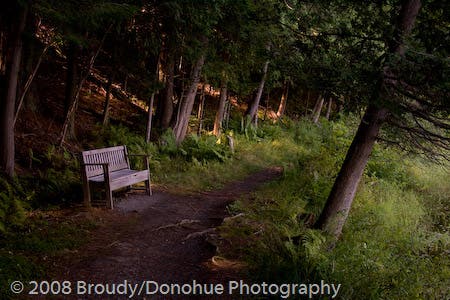
At the trail junction with the local school route, bear left, passing a bench and a small pond.
RST003
Location: 44.182854, -73.794227
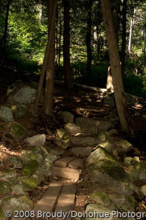
Go right (heading towards Rooster Comb) @ 3-way junction with the Sachs Trail up to Snow Mountain Trail. From here the trail continues climbing with intermittent steep stretches up rock steps.
The return descent from Snow Mountain rejoins the route here and backtracks to the trailhead.
RST004
Location: 44.17604, -73.803977
Continue following the trail as it crosses through a stream.
RST005
Location: 44.172557, -73.809393
At the junction with the trail to Hedgehog Mountain and Snow Mountain, continue to the right for the remaining 0.5-mile climb up to Rooster Comb. From here to the summit, the grade levels off briefly before ticking up in steepness for another 650 feet of climbing.
After climbing Rooster Comb, the route returns through this waypoint, heading east towards Snow Mountain on a gradual descent (until the climb to Snow amps up just past Waypoint 11).
RST006
Location: 44.174552, -73.808746
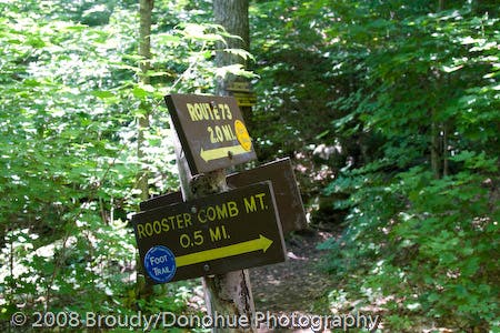
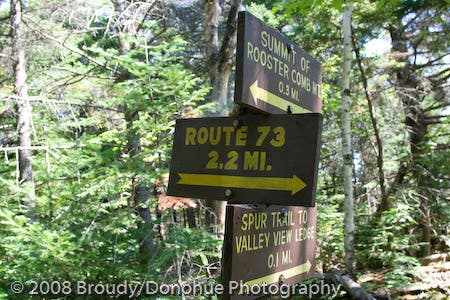
Bear right @ 3-way junction to head 0.1 mile to a valley overlook. After the overlook, back track to this junction and bear right to follow the trail another 0.3 mile to the Rooster Comb summit.
RST007
Location: 44.175768, -73.807965
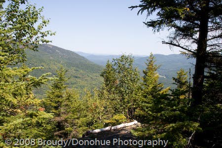
Keene Valley overlook: The far reaching views across the valley to the town below offer a preview of the Adirondack vistas you’ll see atop Rooster Comb and Snow Mountain. From here, backtrack to Waypoint 6 and bear right to continue the steep climb up to Rooster Comb.
RST008
Location: 44.173032, -73.810573
The climbing goes completely vertical as the route scales a wooden ladder en route to the summit. Just past the ladder, cut right, then switchback left as the trail crosses left over the top of a slabby rock.
RST009
Location: 44.172397, -73.81166
Rooster Comb: Soak in far-ranging views of the Adirondack High Peaks atop this rock outcropping summit. Look east to Snow Mountain (where you’re headed next) and further east to Giant Mountain (the twelfth highest Adirondack peak). This is a good spot to break for lunch before backtracking to Waypoint 5 and bearing right to hike east towards Snow Mountain.
RST010
Location: 44.172079, -73.80184
Snow Mountain/St. Huberts Junction: Turn right @ 3-way junction and head toward Snow Mountain. The climb starts at a gradual grade.
RST011
Location: 44.168625, -73.79845
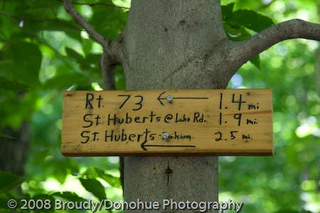
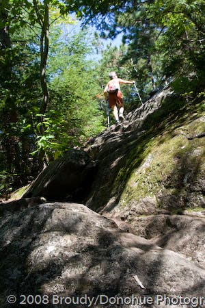
At the intersection of another trail leading to St. Huberts and Keene Valley, continue left heading up to Snow (a right turn will take you down to St. Huberts). From here the climb gets somewhat steep and there is some mild scrambling.
RST012
Location: 44.168193, -73.795051
At the true summit of Snow Mountain, continue hiking another 200 feet or so to the overlook payoff of the climb.
RST013
Location: 44.167953, -73.794608
Just past the true summit of Snow Mountain you’ll pass an outcropping overlook that offers more expansive Adirondack Preserve vistas (including a view back west to Rooster Comb). Look east down St. Huberts, and further east-southeast to Noonmark Mountain (a local favorite) and Round Mountain. From here, backtrack to Waypoint 10 and turn right to descend Sachs Trail along the Flume Brook drainage for 1.1 miles back to Waypoint 3 (and then another 0.6 mile to the trailhead).
Heading out
Location: 44.18548, -73.787016
© Berne Broudy, AuthenticOutdoors.com
Trailside bench
Location: 44.185897, -73.788858
© Berne Broudy, AuthenticOutdoors.com
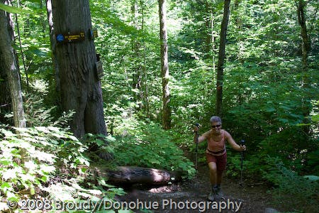
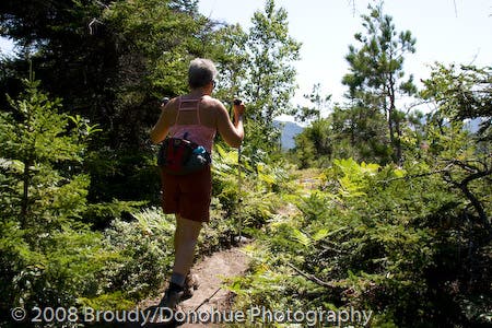
Into the woods
Location: 44.18572, -73.78919
© Berne Broudy, AuthenticOutdoors.com
Snow Mountain Trail Junction
Location: 44.182854, -73.794214
© Berne Broudy, AuthenticOutdoors.com
Root-wrapped rock
Location: 44.177295, -73.801453
The trail passes by a gnarly root/rock formation that almost has a modern art feel. © Berne Broudy, AuthenticOutdoors.com
Snow/Hedgehog Junction
Location: 44.172538, -73.809367
© Berne Broudy, AuthenticOutdoors.com
Trail Detour
Location: 44.174529, -73.808808
© Berne Broudy
Keene Valley Overlook
Location: 44.175714, -73.807979
© Berne Broudy, AuthenticOutdoors.com
Adirondack ladder
Location: 44.173055, -73.810613
© Berne Broudy, AuthenticOutdoors.com
View from Rooster Comb
Location: 44.172459, -73.811647
© Berne Broudy, AuthenticOutdoors.com
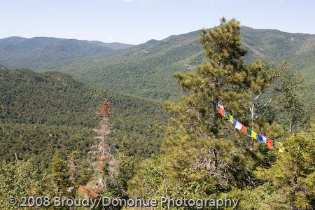
Prayer flags from the summit
Location: 44.172468, -73.81165
© Berne Broudy, AuthenticOutdoors.com
Snow/St. Huberts Junction
Location: 44.171839, -73.801684
© Berne Broudy, AuthenticOutdoors.com
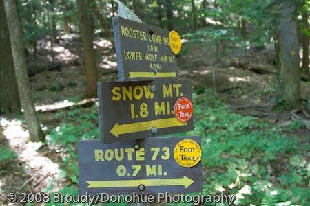
Mileage Sign
Location: 44.16863, -73.798256
© Berne Broudy, AuthenticOutdoors.com
Climbing up Snow Mountain
Location: 44.168984, -73.796453
© Berne Broudy, AuthenticOutdoors.com
Up up up
Location: 44.168715, -73.795697
© Berne Broudy, AuthenticOutdoors.com
True Summit
Location: 44.168169, -73.795043
© Berne Broudy, AuthenticOutdoors.com
Snow Mountain summit view
Location: 44.167945, -73.794517
© Berne Broudy, AuthenticOutdoors.com
Looking back to Rooster Comb
Location: 44.167953, -73.794351
© Berne Broudy, AuthenticOutdoors.com
Returning to Keene Valley
Location: 44.173894, -73.795402
© Berne Broudy, AuthenticOutdoors.com