Adirondack Park: Pharaoh Mountain

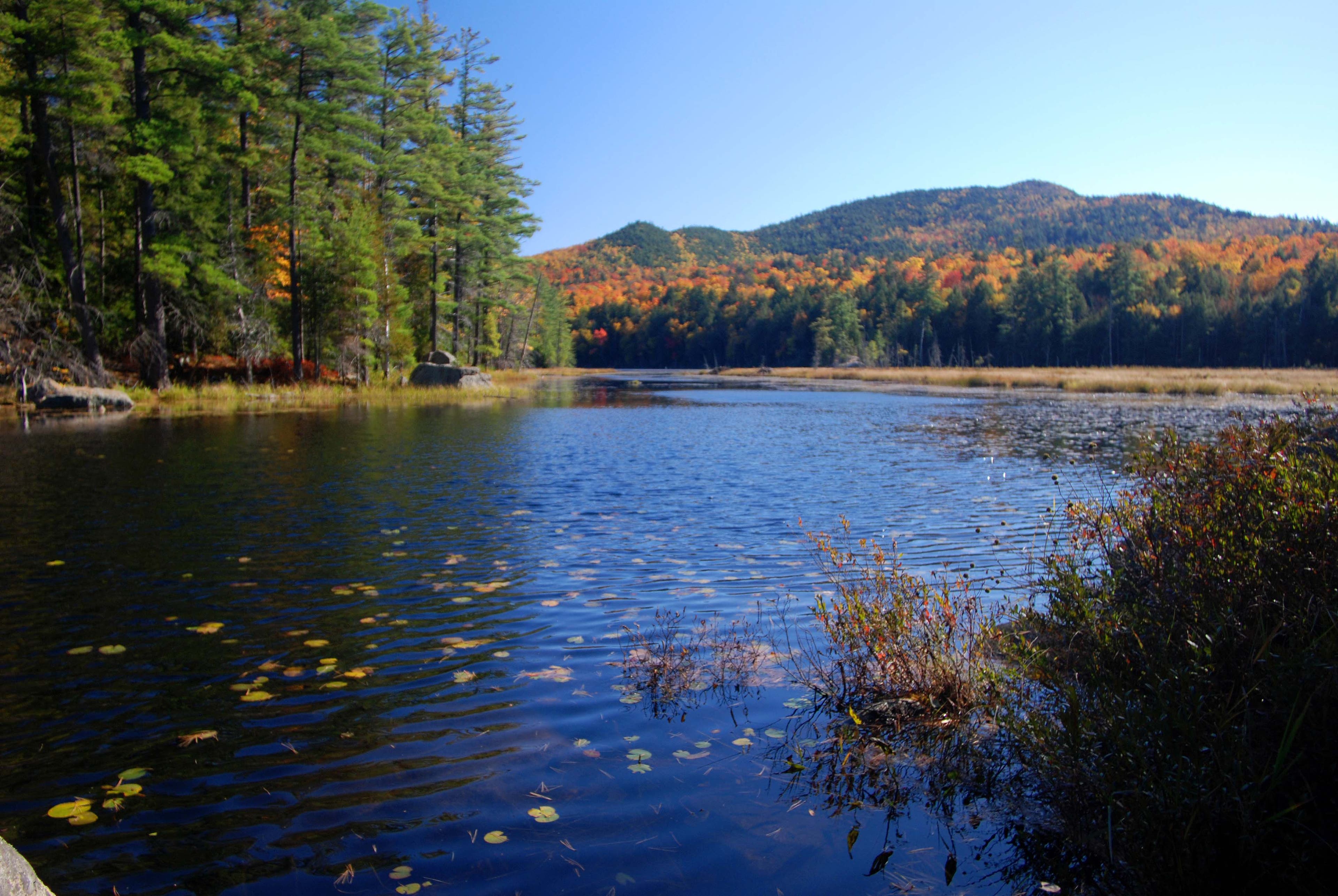
The 6.7-mile trek up Pharaoh Mountain starts at a flooded beaver pond on Crane Pond Road. Follow a detour trail around the flood area and then continue along the road (past the Blue Hill Trailhead) to the trailhead for Pharaoh Mountain at Crane Pond. About 1.2 miles in, stay right on the Pharaoh Mountain Trail as a route to Gidden Marsh shoots off to the left. Here, the route traces the north end of the marsh, then continues deeper into a mixed forest of hemlock and conifers.
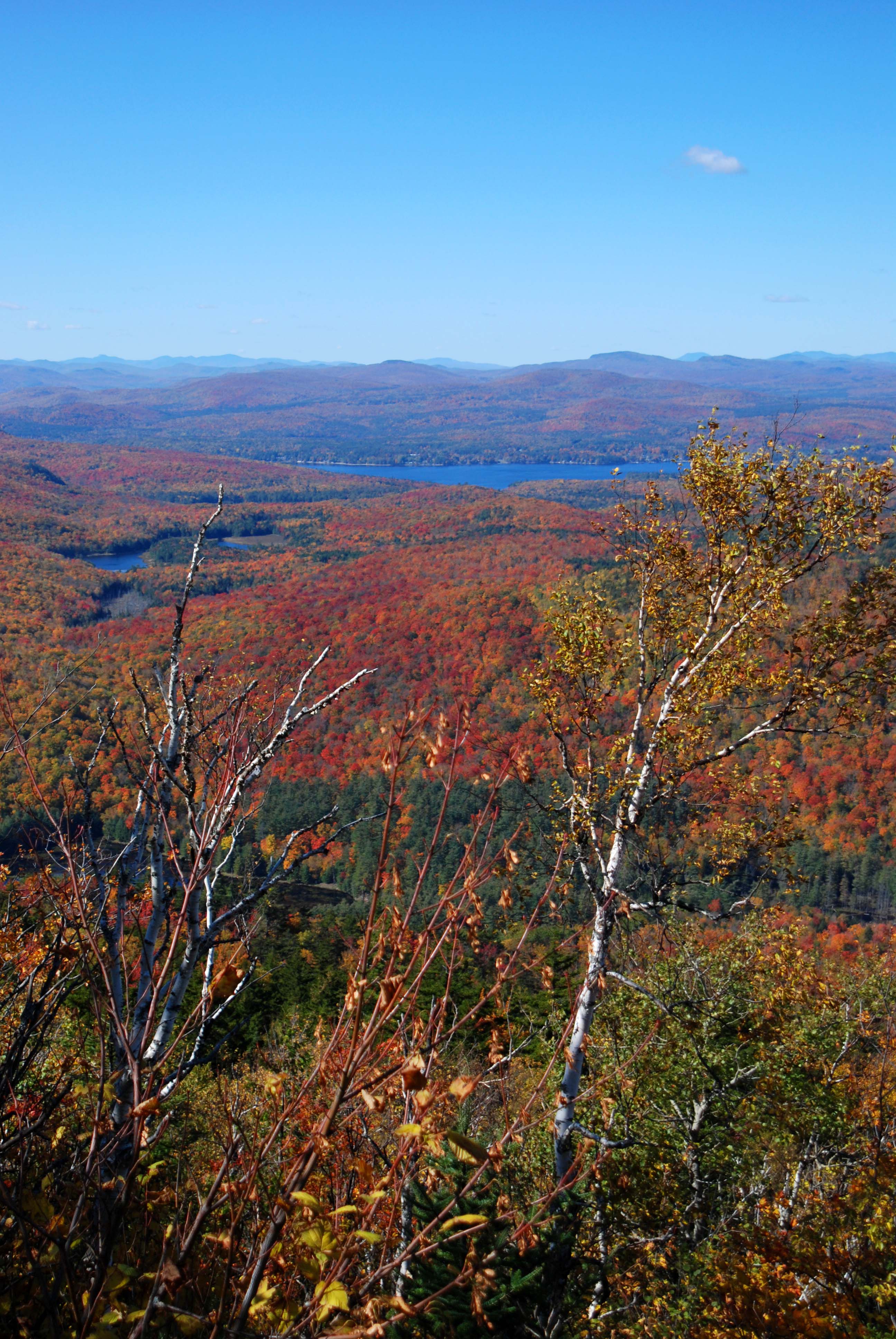
Around mile 2, the trail begins to get rockier as the grade steepens. The trail gains over 1,000 feet in the next 1.5 miles, challenging with rock slabs and exposed roots, which can be mossy and slick in wet conditions. Continuing on, gaps in the trees offer views of Schroon Lake and the Dix Range to the west. At mile 3.4, the trail reaches the grassy plateau summit of Pharaoh Mountain. Herd paths wander out to several rock outcropping overlooks.
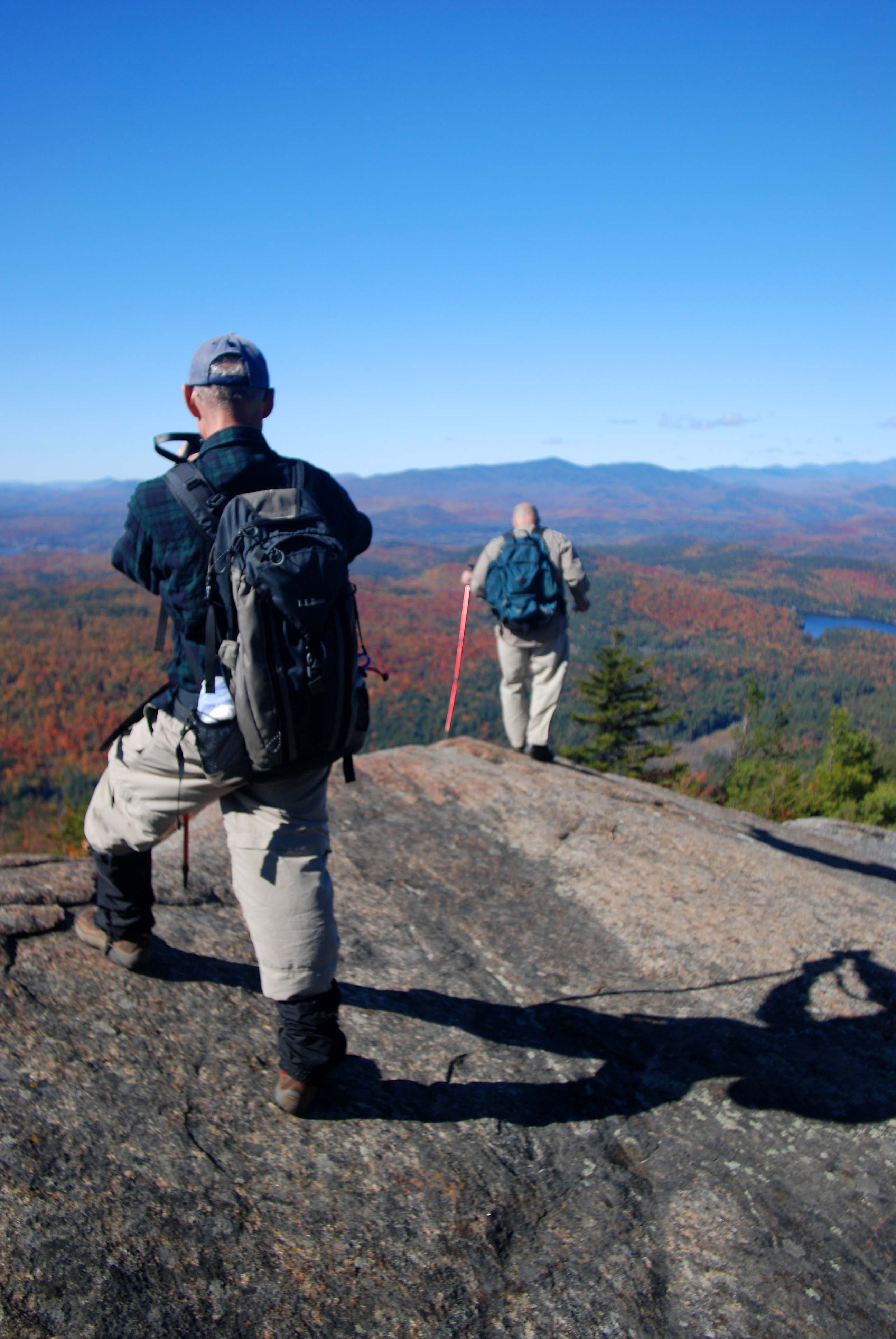
Head to the south summit, the most sheltered summit and the best bet for lunch on a windy day. From here, look south to Pharaoh Lake and east to Vermont’s Green Mountains and Lake Champlain. Not far off, the west summit offers outstanding views of Adirondack peaks beyond Schroon Lake. At the north summit, check out the 4,000-foot High Peaks to the northwest. Enjoy the various views before backtracking to the parking lot.
-Mapped by Lisa Densmore, DensmoreDesigns.com
PLAN IT
MAP:
>> Order the USGS topo quads listed at store.usgs.gov.
>> Order a custom, seamless map of this route by selecting our Print MyTopo option.
CONDITIONS: Check weather at Shroon Lake, NY (12870).
INFO: For more information about the region, check out Visit Adirondacks.
CONTACT: Adirondack Mountain Club, Member Services Center, 814 Goggins Road, Lake George, NY 12845; (518) 668-4447; info@adk.org
OTHER RESOURCES
GEAR
Eastern Mountain Sports
3066 New York 50
Saratoga Springs, NY 12866
(518) 580-1505
ems.com
RESTAURANTS
Pitkins Restaurant
1085 Main Street
Schroon Lake, NY 12870
(518) 532-7918
Hattie’s
45 Phila Street
Saratoga Springs, NY 12866-3211
(518) 584-4790
hattiesrestaurant.com
Trail Facts
- Distance: 10.8
Waypoints
PHR001
Location: 43.853393, -73.6675759
From the parking lot, begin hiking under tall hemlocks on the detour trail around a flooded beaver pond.
PHR002
Location: 43.8537478, -73.6651325
Continue straight on Crane Pond Road as the Blue Hill Trail departs to the left.
PHR003
Location: 43.8513648, -73.6626542
At the trailhead by Crane Pond, turn right at the last small parking area onto Pharaoh Mountain Trail.
PHR004
Location: 43.8429309, -73.6601973
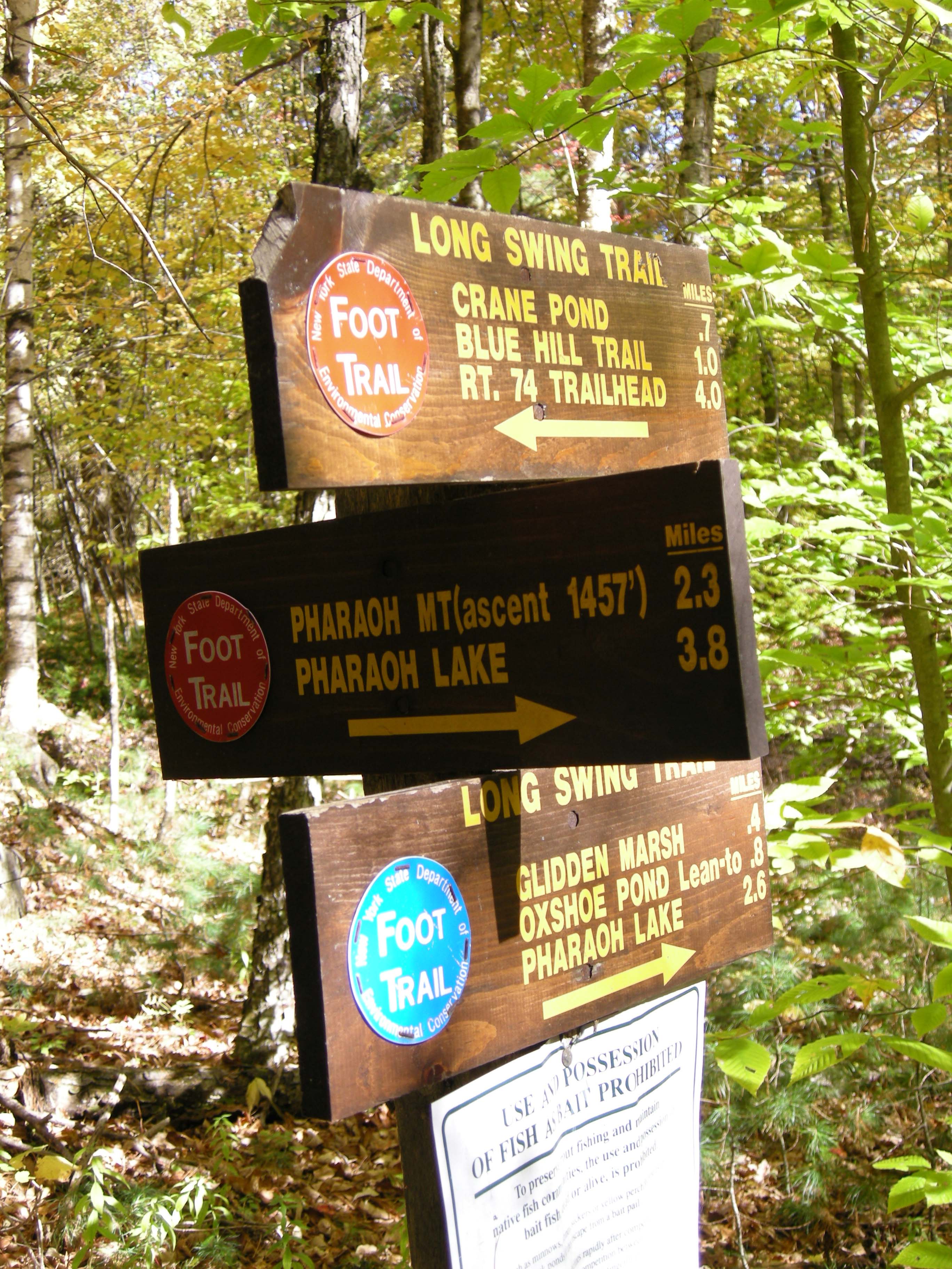
At the 3-way junction with Long Swing Trail to Gidden Marsh, turn right to continue on the Pharaoh Mountain Trail.
PHR005
Location: 43.8323133, -73.658824
The trail bends 90 degrees to the right where an older route is blocked.
PHR006
Location: 43.8223209, -73.658545
The trail continues uphill, climbing over rocks, roots, and long stretches of bedrock.
PHR007
Location: 43.8188316, -73.6578423
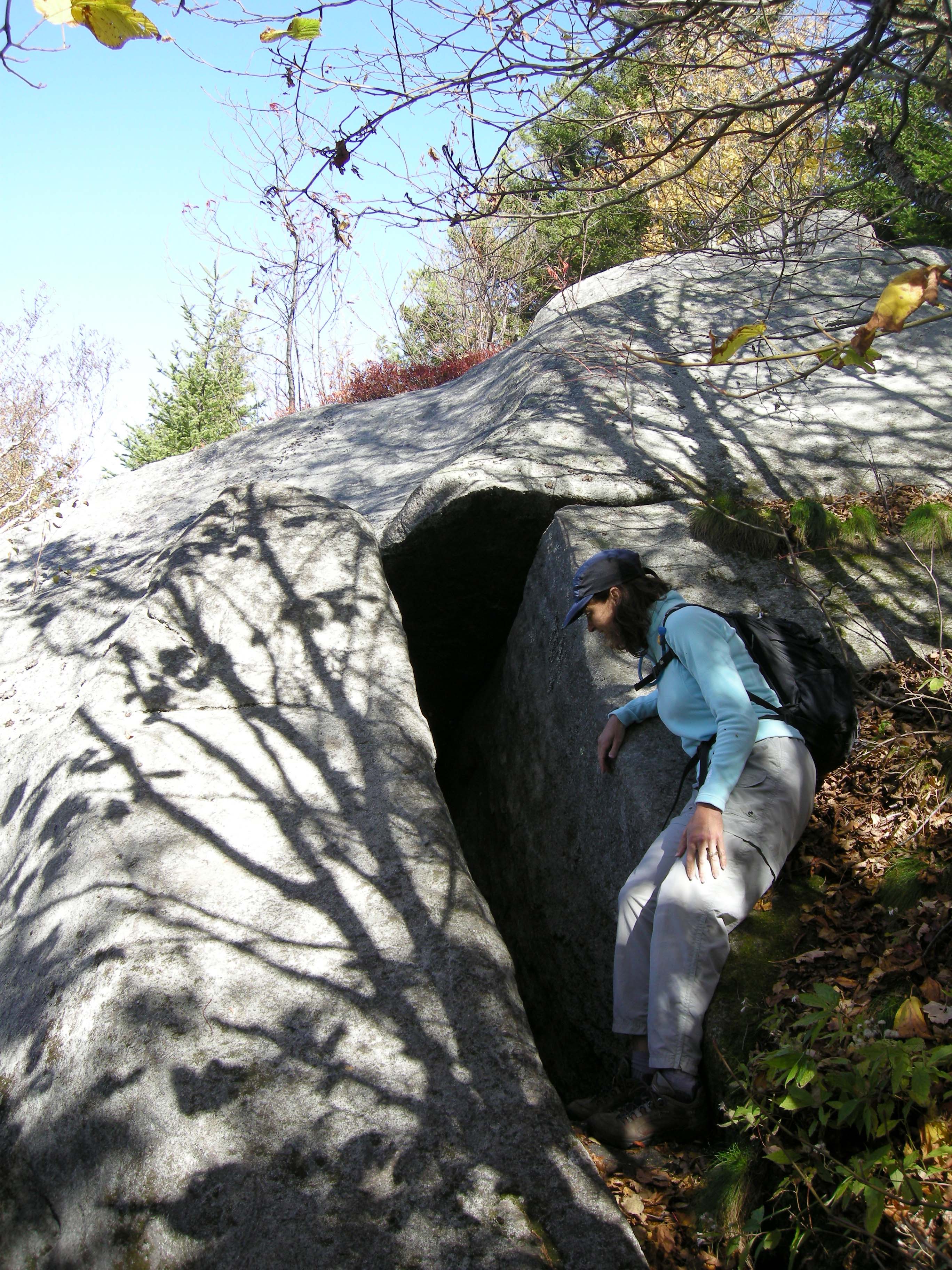
Pass a rock chasm formed by a split in the rock to the left of the trail.
PHR008
Location: 43.8185936, -73.6575177
Pharoah Mountain (2,533 ft.): Visit the various open rock knobs for summit views before backtracking to the trailhead.
Pharaoh Mountain
Location: 43.8187929, -73.657735
Beaver Pond
Location: 43.8537478, -73.667686
The flooded beaver pond area near the parking lot.
Crane Pond
Location: 43.8510244, -73.6624932
Junction with Long Swing Trail
Location: 43.8429309, -73.6600792
Continue right to Pharoah Mountain.
Rock Rift
Location: 43.8188336, -73.6578101
Just below the top, the trail passes a rock that is split off the main summit-like knob, forming a narrow chasm.
Summit View
Location: 43.8185104, -73.6580569