Adirondack Park, NY: Rooster Comb

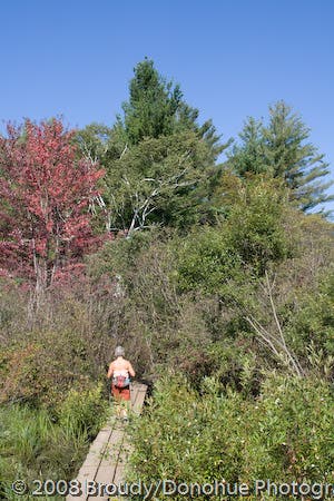
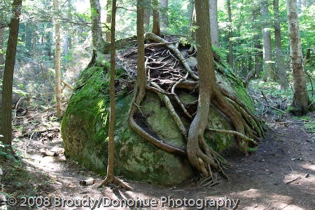
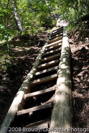
On beautiful days when the neighboring Noonmark Mountain is teeming with hikers, you’ll find a bit of solace by trekking up to the rock outcropping summit of Rooster Comb. Starting from the parking lot on the west side of NY 73 just south of Keene Valley, begin hiking west through a swampy bit of trail protected by planks. The first 2.5 miles of the hike (gaining just over 1,500 feet) are the real challenge of the day, but there are plenty of trailside distractions to keep your mind wandering while your lungs and legs are throbbing. En route to the Rooster Comb summit, you’ll pass a gnarly root-and-rock formation (straight out of MoMA), an optional overlook detour, and a steep trail ladder (straight out of a treehouse).
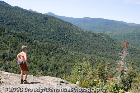
At the rock outcropping summit of Rooster Comb, take in expansive views of the Adirondack Preserve (and High Peaks) before backtracking to the trailhead, or turn the trip into a loop by hiking down the Flume Creek drainage. It’s also possible to tack on an additional summit with a 1.1-mile out-and-back to the summit of Snow Mountain.
-Mapped by Berne Broudy, AuthenticOutdoors.com
Trail Facts
- Distance: 8.2
Waypoints
RST001
Location: 44.185411, -73.786981
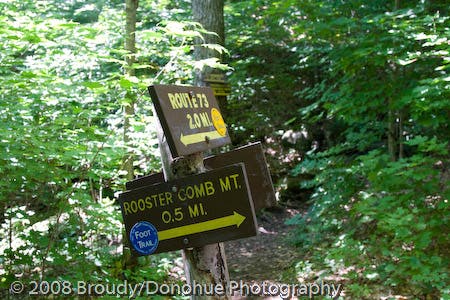
Parking lot and railhead: Begin hiking west (following signs for Rooster Comb) over a swampy area on a plank-covered trail.
RST002
Location: 44.1858912, -73.788946
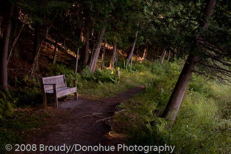
At the trail junction with the local school route, bear left, passing a bench and a small pond.
RST003
Location: 44.1828541, -73.7942272
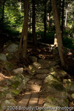
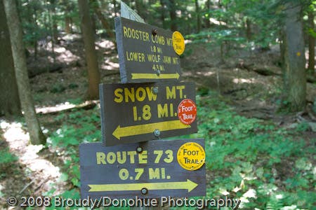
Continue to the right towards Rooster Comb @ 3-way junction with the trail heading up to Snow Mountain. From here, the trail continues climbing with intermittent steep stretches up rock steps.
RST004
Location: 44.1760399, -73.8039767
Continue following the trail as it crosses through a stream.
RST005
Location: 44.1725569, -73.8093925
At the junction with the trail to Hedgehog Mountain and Snow Mountain, continue to the right for the remaining 0.5-mile climb up to Rooster Comb. From here to the summit, the grade levels off briefly before ticking up in steepness for another 650 feet of climbing.
The return trip can be made into a loop by bearing right here after summitting Rooster Comb and then continuing on the Sachs Trail back to Waypoint 3. Otherwise, after Rooster Comb, turn left to backtrack to the trailhead from here.
RST006
Location: 44.1745518, -73.8087455
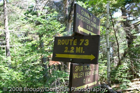
Bear right @ 3-way junction to head 0.1 mile to a valley overlook. After the overlook, backtrack to this waypoint and bear right to hike another 0.3 mile to up to the Rooster Comb summit.
RST007
Location: 44.1757682, -73.807965
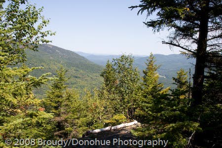
Keene Valley overlook: The far-reaching views across the valley to the town below offer a preview of the Adirondack vistas you’ll see atop Rooster Comb. From here, backtrack to Waypoint 6 and bear right to continue the steep climb up to Rooster Comb.
RST008
Location: 44.1730315, -73.8105727
Here, the climbing goes completely vertical as the route scales a wooden ladder en route to the summit. Just past the ladder, cut right, then switchback left as the trail crosses left over the top of a slabby rock.
RST009
Location: 44.172397, -73.8116596
Rooster Comb: Soak in far-ranging views of the Adirondack High Peaks atop this rock outcropping summit. Look east to Snow Mountain and further east to Giant Mountain (the twelfth highest Adirondack peak). This is a good spot to break for lunch before backtracking to Waypoint 5. From there, bear left to return to the trailhead, or bear right to make a loop return to the trailhead.
Heading out
Location: 44.1854796, -73.7870161
© Berne Broudy, AuthenticOutdoors.com
Trailside bench
Location: 44.1858969, -73.7888575
© Berne Broudy, AuthenticOutdoors.com
Into the woods
Location: 44.18572, -73.7891901
© Berne Broudy, AuthenticOutdoors.com
Snow Mountain Trail Junction
Location: 44.1828541, -73.7942138
© Berne Broudy, AuthenticOutdoors.com
Root-wrapped rock
Location: 44.177295, -73.8014531
The trail passes by a gnarly root/rock formation: it almost has a modern art feel. © Berne Broudy, AuthenticOutdoors.com
Snow/Hedgehog Junction
Location: 44.1725377, -73.809367
© Berne Broudy, AuthenticOutdoors.com
Trail Detour
Location: 44.1745288, -73.8088077
© Berne Broudy
Keene Valley Overlook
Location: 44.1757138, -73.8079789
© Berne Broudy, AuthenticOutdoors.com
Adirondack ladder
Location: 44.1730552, -73.8106129
© Berne Broudy, AuthenticOutdoors.com
View from Rooster Comb
Location: 44.1724588, -73.8116468
© Berne Broudy, AuthenticOutdoors.com
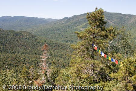
Prayer Flags
Location: 44.1724684, -73.8116495
© Berne Broudy, AuthenticOutdoors.com