Adirondack Park: Big Slide Mountain

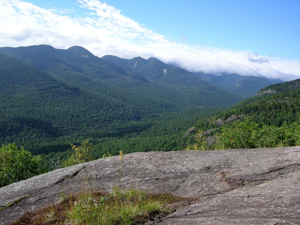
Starting from “The Garden” Trailhead, this 10.9-mile loop traverses Big Slide Mountain (named for a 19th century landslide that cleared its southeast face) and makes a return trip pit stop at Johns Brook Lodge, a favorite amongst High Peaks hikers. Following signs for “The Brothers,” the hike begins its 2,800-foot ascent with a steady climb through a maple and birch forest. Bypassing the trail to Porter Mountain, the route soon picks up with a rocky and persistent climb up The Brothers, a collection or rock ledges (decorated by blueberries in summer) that offer outstanding southward views to the neighboring Rooster Comb.
Following yellow rock blazes (and blue trail markers) over The Brothers, the route continues to climb towards Big Slide, affording occasional views of its namesake scar. After 3.4 miles, hikers reach the base of the summit approach. From here it’s a 0.2-mile climb up a steep, rocky path. The summit rewards with views south to Mount Marcy and the Great Range, as well as other 4,000-foot peaks (including Algonquin and Giant to the east). Continue west along the ridge to Yard Mountain, another outcropping summit with above-the-trees views.
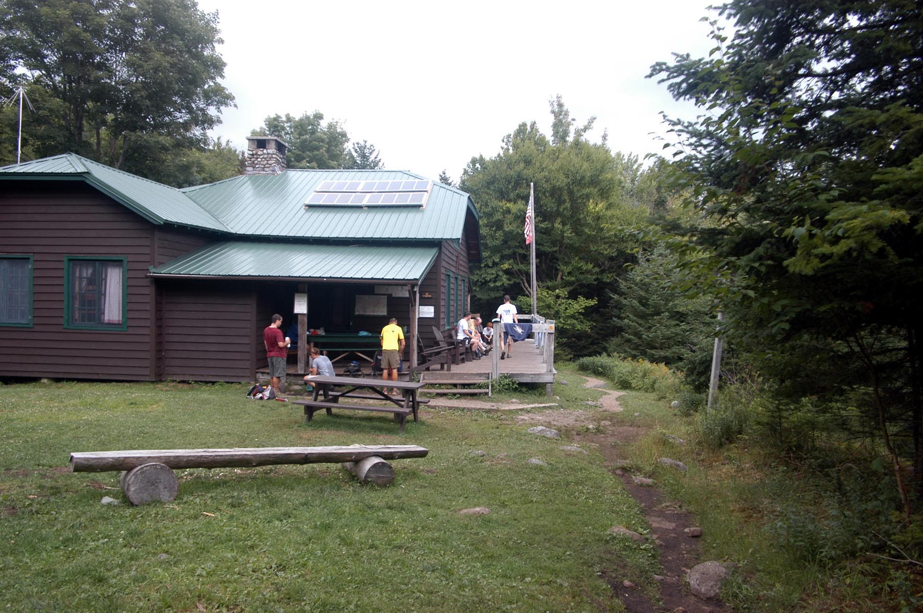
From Yard, this route descends a drainage traverse to Johns Brook Lodge. Administered by the Adirondack Mountain Club, the lodge (reservations required for bunks) serves meals to summertime visitors and is maintained by a caretaker in the fall. Fill up your water bottle in the faucet outside before continuing a gradual descent alongside Johns Brook for 3.4 miles back to “The Garden.”
-Mapped by Lisa Densmore, Densmore Designs.com
PLAN IT
MAP:
>> Order the USGS topo quads listed at store.usgs.gov.
>> Order a custom, seamless map of this route by selecting our Print MyTopo option.
CONDITIONS: Check weather at Lake Placid, NY (12946).
INFO: For more information about the region, check out Visit Adirondacks.
CONTACT: Adirondack Mountain Club, Member Services Center, 814 Goggins Road, Lake George, NY 12845; (518) 668-4447; info@adk.org
OTHER RESOURCES
GEAR
Mountaineer
1866 Nys Route 73
Keene Valley, NY 12943
(518) 576-2281
Jones Outfitters Ltd
2733 Main St # 2
Lake Placid, NY 12946-3318
(518) 523-3468
jonesoutfitters.com
Eastern Mountain Sports
3066 New York 50
Saratoga Springs, NY 12866
(518) 580-1505
ems.com
RESTAURANTS
Noon Mark Diner
1770 Nys Route 73
Keene Valley, NY 12943
(518) 576-4499
noonmarkdiner.com
Lake Placid Pub & Brewery
813 Main Street
Lake Placid, NY 12946
(518) 523-3813
ubuale.com
Hattie’s
45 Phila Street
Saratoga Springs, NY 12866-3211
(518) 584-4790
hattiesrestaurant.com

Trail Facts
- Distance: 17.5
Waypoints
BSL001
Location: 44.189005, -73.8160443
Alpine Garden Parking/Trailhead: Take the right trail heading up The Brothers; it’s marked with blue NYSDEC trail markers.
BSL002
Location: 44.1900666, -73.8188231
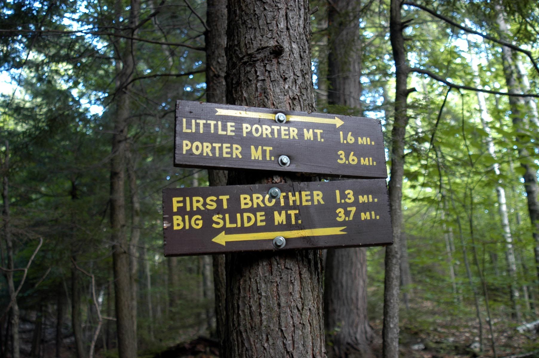
Continue straight; the trail to Porter Mountain departs to the right. About 0.5 mile ahead, the trail steepens as it takes a more direct route up the spine of The Brothers ridge.
BSL003
Location: 44.1889127, -73.8338757
The Brothers: A little over a mile into the trip, the hike reaches the Brothers, 3 successive rock summits. The second Brother affords 360-degree views (look west for Big Slide).
BSL004
Location: 44.1822463, -73.8685727
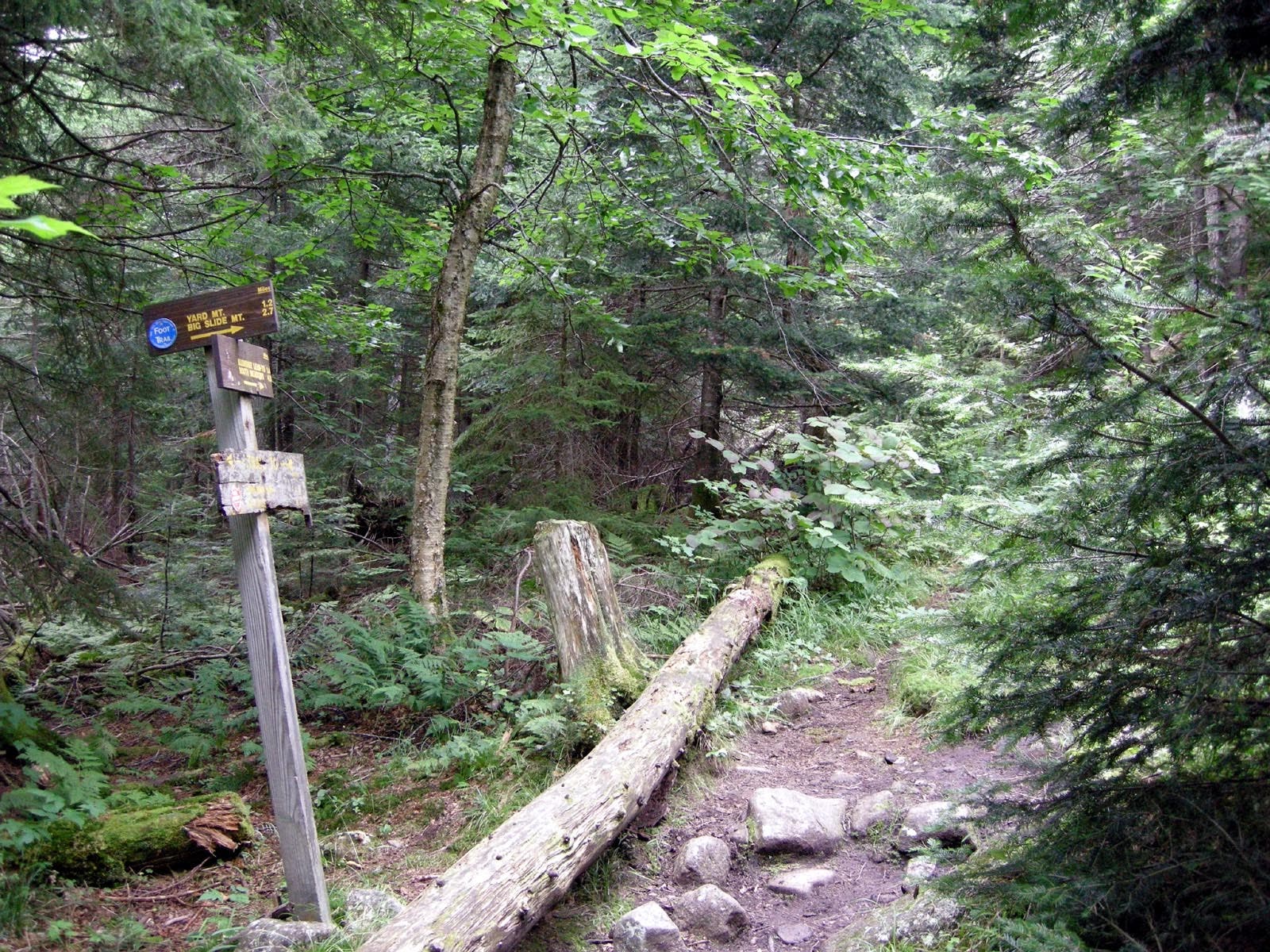
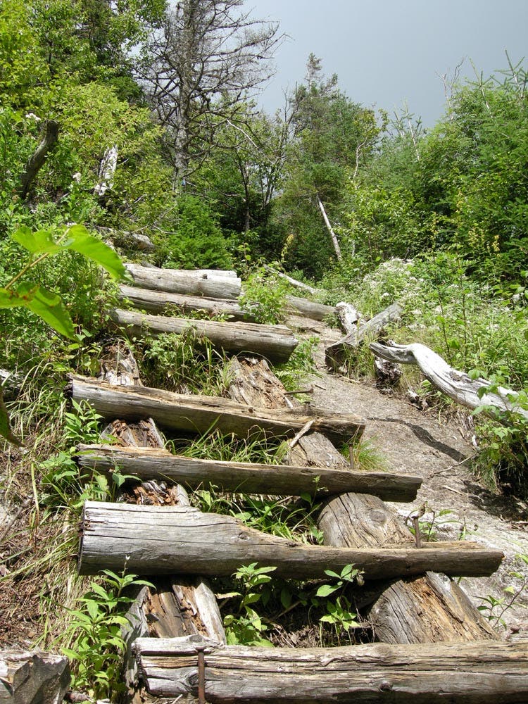
Bear right (uphill), following signs for Big Slide and Yard Mountain. Note: Continuing straight would shave 2 miles off this route, bypassing Yard Mountain and heading directly to Johns Brook Lodge. The last 0.2 mile of the climb is steep; a few log ladders aid in ascending this steep stretch of slab. Pass a spur to a cliff top where you’ll find a fine view to the south, then climb one more rock wall to reach the summit.
BSL005
Location: 44.1821869, -73.8710913
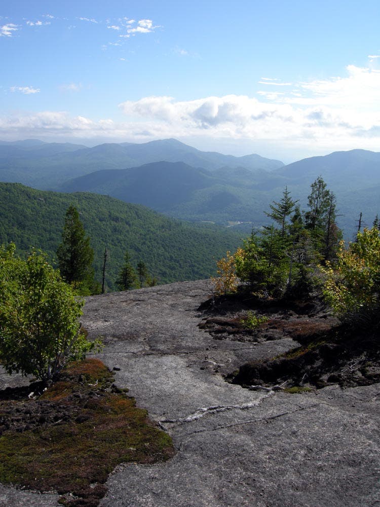
Big Slide (4,199 ft.): Enjoy above-the-trees views to the south at an open rock overlook: Mount Marcy (south) and Algonquin Peak (west) are among the prominent 4,000-footers you can see from here.
From the summit, begin descending southwest and begin traversing the ridgeline to Yard Mountain. As the trail hooks south, the route turns uphill at a gradual grade, arriving at a short spur to Yard Mountain’s summit.
BSL006
Location: 44.1746814, -73.8854084
A spur trail leads up to the summit of Yard Mountain. The view is somewhat limited compared to Big Slide, but you can see the rock slides on the Gothics (to the south). Descending from Yard, the route continues following blue markers through a washed-out area; use caution.
BSL007
Location: 44.1654552, -73.8817421
Turn left @ T-junction onto the Klondike Trail. The route continues descending the Black Brook drainage, now following red trail markers to the Johns Brook Lodge.
BSL008
Location: 44.1588045, -73.8638558
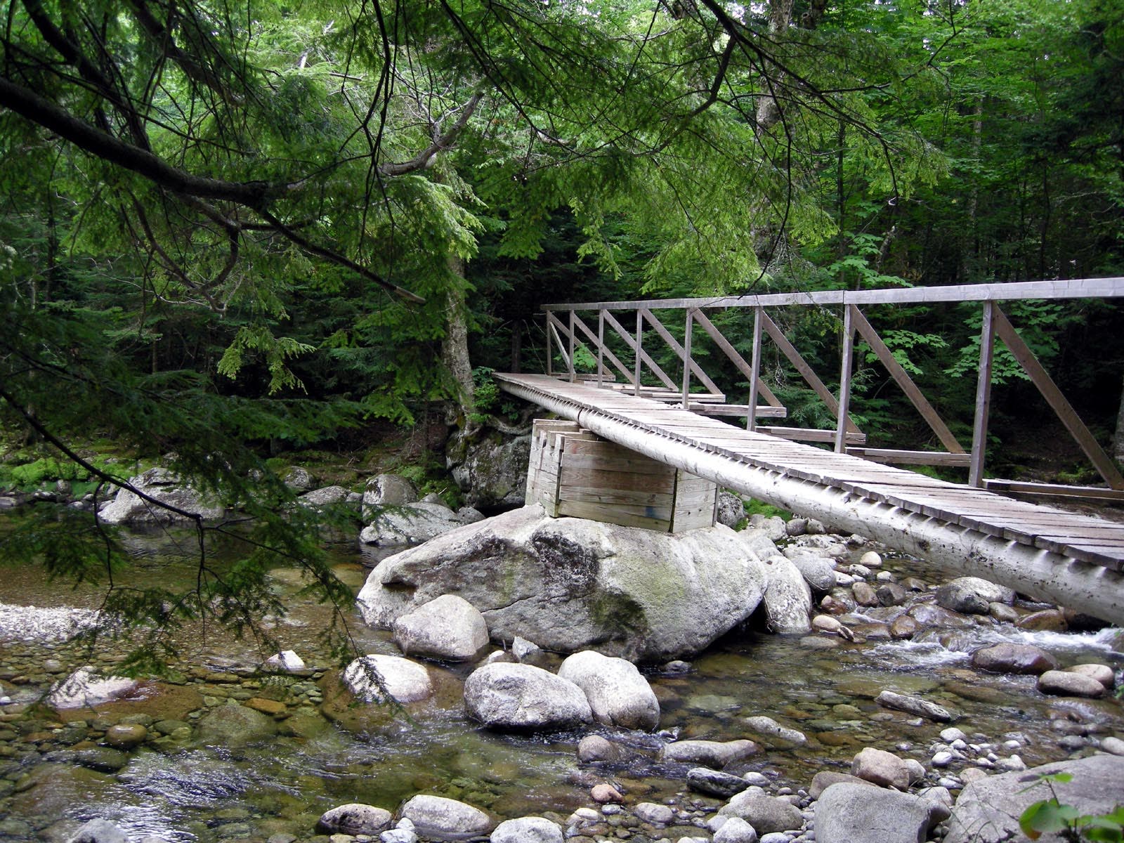
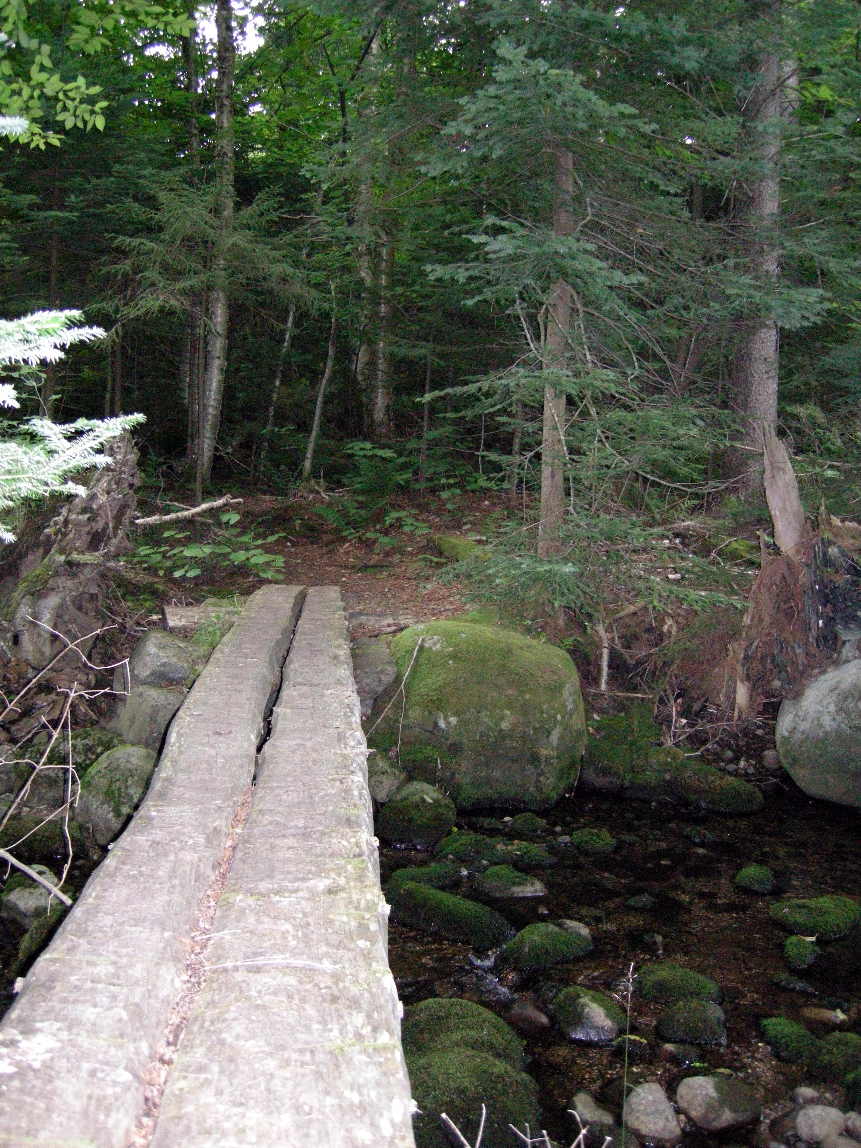
Cross Black Brook on a double-log bridge and continue 0.1 mile to the Johns Brook Lodge, one of the Adirondack Mountain Club’s most popular shelters. Equipped with two bunkrooms, the lodge serves three meals per day to people staying there during the summer (a caretaker remains during the spring and fall). There is an outdoor faucet where you can refill your water bottle. Next, continuing northeast from the lodge, proceed past the information board, following the yellow-marked trail.
BSL009
Location: 44.1604521, -73.8585465
A footbridge crossing of Johnsbrook leads to Camp Grace and Camp Peggy O’Brien, two cabins that can be reserved through the Adirondack Mountain Club. In 100 yards, continue straight past a trail that leads up to Waypoint 4. Just beyond this junction, the trail turns left away from Johns Brook before tracing it along a gradual descent back toward The Garden.
BSL010
Location: 44.1777413, -73.8340044
Cross a bridge over Deer Brook.
BSL011
Location: 44.1838706, -73.8222747
Stay left @ 3-way junction. Hike northeast for another half-mile to close the loop and return to the trailhead.
High Peaks View
Location: 44.1888511, -73.8340473
An overlook at the first “Brother”
Johns Brook Footbridge
Location: 44.1604415, -73.8585091
Porter Mountain Junction
Location: 44.1900666, -73.8187051
Keene Valley View
Location: 44.1913744, -73.8388538
View to the south from the third “Brother”
Trail to Big Slide
Location: 44.1822617, -73.868503
Ladder to the Summit
Location: 44.1829118, -73.8697529
One of the gnarly wooden ladders en route to the summit
Black Brook Crossing
Location: 44.1588713, -73.8640451
Johns Brook Lodge
Location: 44.1585327, -73.8629615
Bear Brook Lean-to
Location: 44.1811114, -73.8285327