Acadia National Park: Cadillac Mountain via Dorr Mountain

From the Sieur de Monts Spring Nature Center, head southwest on the trail that switchbacks up the lower slopes of Dorr Mountain past intermittent views of the Porcupine Islands and Frenchman Bay. Midway up the mountain, the trail traverses south before cresting Dorr’s summit, dropping down a gully on the west face, and then climbing up the east ridge of 1,530-foot Cadillac Mountain—Acadia’s highest peak. At the top, expansive views of the Atlantic stretch out to the south, and options for lengthening or shortening this trip are available. This loop descends to Bubble Pond before climbing back up to the broad, 1,248-foot summit of Pemetic Mountain. After descending this third peak, the trail climbs to the top of one more ridge before descending along Canon Brook and heading north past The Tarn Lake back to the Nature Center.
Mapped by Trung Q. Le


Trail Facts
- Distance: 14.2
Waypoints
ANP009
Location: 44.3471069335938, -68.2293853759766
Go right @ 3-way junction for descent to Bubble Pond. The South Ridge Trail shoots off to the south.
ANP004
Location: 44.3535804748535, -68.2099533081055
Continue straight @ 3-way junction, heading northwest; the trail steepens as it nears the summit of Dorr Mountain. To the left, a trail descends to the Tarn Trail and The Tarn Lake.
ANP005
Location: 44.3559799194336, -68.2164001464844
To reach the top of Dorr Mountain, turn left @ trail intersection for a short side trip to the summit (1,270 ft.). Return to this intersection and turn left (west) to continue the hike. From here, the trail descends a gully and then climbs back up toward Cadillac Mountain. Be prepared to climb down and up large granite boulders on this steep incline.
ANP014
Location: 44.3266983032227, -68.2406005859375
Turn left @ 4-way junction to continue on the Ponds Trail.
ANP007
Location: 44.3523063659668, -68.2258071899414
Walk across the top of Cadillac Mountain (1,530 ft.), the highest point in Acadia National Park, then continue to the other side of the parking lot toward Pemetic Mountain.
ANP016
Location: 44.337818145752, -68.2288436889648
Look northwest for a bird’s-eye view of Bubble Pond.
ANP003
Location: 44.3599395751953, -68.2107009887695
Continue straight @ 3-way junction.
ANP021
Location: 44.3514709472656, -68.2051010131836
Continue straight @ 3-way junction, heading back toward Sieur de Mont Spring Nature Center. To the left, the Ladder Trail ascends Dorr Mountain. To the right is a small parking area. Ahead, the trail travels alongside the western banks of The Tarn.
ANP018
Location: 44.3398857116699, -68.2140655517578
Continue straight @ 3-way junction.
Atlantic Ocean
Location: 44.3546028137207, -68.2161560058594
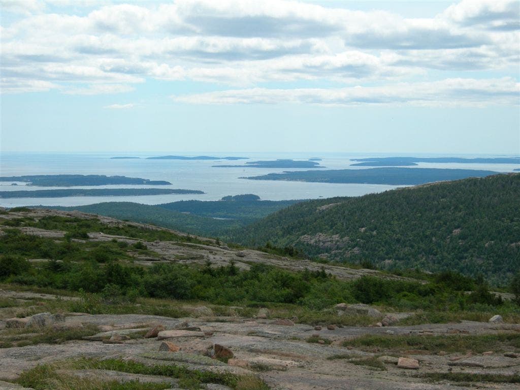
Looking south from Dorr Mountain over the Cranberry Islands on the Atlantic Ocean.
ANP022
Location: 44.358470916748, -68.2071304321289
Continue straight toward the Nature Center and the trailhead.
ANP019
Location: 44.3390007019043, -68.2113800048828
Continue straight @ 3-way junction.
Porcupine Islands
Location: 44.3618392944336, -68.2110748291016
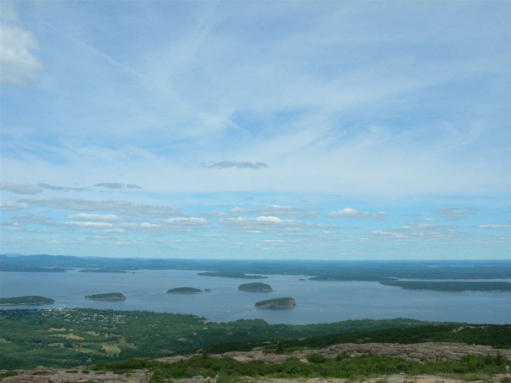
A view of Frenchman Bay and the Porcupine Islands on the ascent of Dorr Mountain.
ANP011
Location: 44.3488998413086, -68.2413330078125
Continue on the bike path following signs to Pemetic Mountain. Begin a gradual climb under trees to the open, rock slab summit.
ANPO15
Location: 44.3293304443359, -68.2360305786133
Continue straight on Ponds Trail across an old gravel road.
ANP002
Location: 44.3618392944336, -68.2110824584961
Continue straight @ 3-way junction, heading south. The Hemlock Trail veers off to the right.
Views from Cadillac Mountain
Location: 44.3506164550781, -68.2272262573242
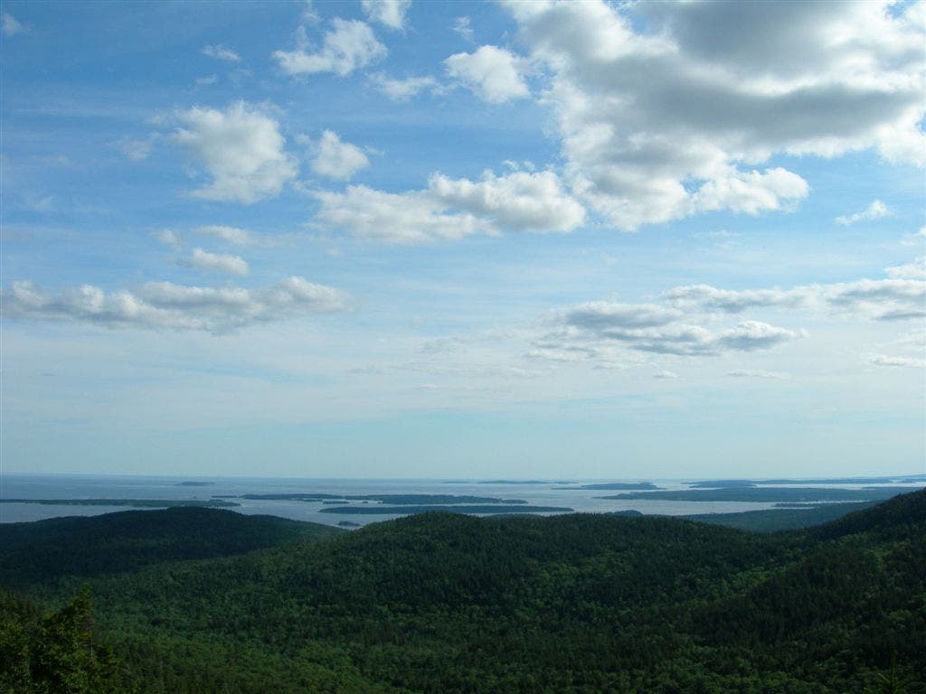
A view to the south from Cadillac Mountain.
ANP013
Location: 44.3292388916016, -68.2431335449219
Stay left @ Y-junction, heading southeast. Triad Trail on the right leads to the summit of The Triad.
ANP012
Location: 44.3375015258789, -68.2457427978516
Continue straight @ 3-way junction towards Pemetic’s summit (1,248 ft.). Follow the cairns to continue on the path. The trail to the right leads down to Jordan Pond.
ANP017
Location: 44.3384284973144, -68.226936340332
Continue straight @ 4-way junction. Ahead, the trail runs parallel to Canon Brook as it descends to the base of Dorr Mountain.
ANP010
Location: 44.3497505187988, -68.2404022216797
Continue left on the trail around Bubble Pond (Bubble Pond parking area is to the right). Bubble Brook is a good water source if you need to treat drinking water.
ANP006
Location: 44.355899810791, -68.2189483642578
Continue straight @ 4-way junction, continuing climb up Cadillac Mountain. The Gorge Trail enters on the right and the Murray Young Trail on the left.
ANP020
Location: 44.346851348877, -68.2061462402344
Continue straight @ 3-way junction, heading north toward The Tarn. Pass a parking area to the right.
ANP008
Location: 44.3506202697754, -68.2272186279297
Follow a wide gravel road (100 feet from the visitor center) down the west face of Cadillac Mountain.
ANP001
Location: 44.3622512817383, -68.2080230712891
The loop starts behind the Nature Center at Sieur de Monts. Head southwest on the trail that switchbacks up the wooded slopes of Dorr Mountain.