Published January 12, 2010 01:31PM
Lakes Trail to Pear Lake, Sequoia National Park
Get a highlights tour of the High Sierra backcountry.
'Camping at Pear Lake. Photo by oliveoligarchy.'
Could our panelists agree on one hike in a region prized for easy access, reliably pleasant weather, and the country’s prettiest lakes, peaks, trees, and campsites? “Good luck,” said Leon Nelson. But then they did—with surprisingly little hand-wringing. The team proclaimed Sequoia National Park’s six-mile Lakes Trail the region’s finest weekend hike. “You pass picture-perfect, glacially carved lakes along a relatively gentle grade with endless sidetrip opportunities,” explains Carol Underhill.

Hike to Pear Lake
Day one From the trailhead at the end of Wolverton Road, ascend concrete steps to the well-signed Lakes Trail, heading north. Make a right .1 mile later at the Lodgepole Trail junction to continue on the Lakes Trail. From here, you’ll climb nearly 1,000 feet along Wolverton Creek and a million-year-old moraine deposited by the Tokopah Glacier. Reach the Panther Gap Trail junction at 1.8 miles and hang a left on the Lakes Trail. Ascend to a meadow lush with knee-high summer grasses and bisected by a small creek.
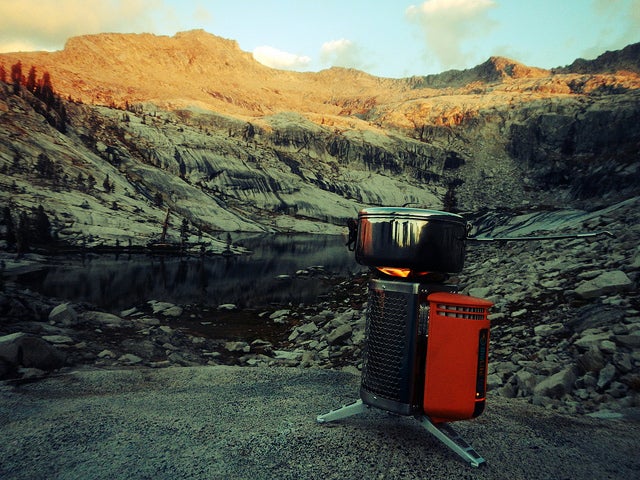
On the meadow’s far side, the trail switchbacks upward through marmot territory; bigger and better views of the Watchtower, a colossal granite spire to the south, emerge with every step. At 4.1 miles (and after another 1,000-foot gain), reach aptly named Heather Lake; shoreline shrubs turns scarlet in early fall. From here, the trail climbs a ridge separating Emerald Lake (to the south) and Aster Lake (to the north). In summer, you’ll pass through gardens of blue and purple penstemon that attract dive-bombing hummingbirds. Reach the Pear Lake Ranger Station at mile 5.5 and take the right fork for a half-mile to reach Pear Lake, tucked into a classic granite cirque. Camp in a designated site (permit required). Bear box provided.
ADVERTISEMENT
Day two Retrace your route to the trailhead for a 12-mile overnighter.
Plan the Hike
Driving From Lodgepole, go 1.6 miles south on CA 198, then take Wolverton Rd. 1.5 miles to the trailhead.
Map and Guide Trails Illustrated Sequoia/Kings Canyon National Parks ($12, natgeomaps.com); Hiking Sequoia & Kings Canyon National Parks, by Laurel Scheidt ($17, falcon.com)
Contact (559) 565-3341, nps.gov/seki