Updated March 25, 2025 04:22PM
If you buy through our links, we may earn an affiliate commission. This supports our mission to get more people active and outside.Learn about Outside Online's affiliate link policy
The Hiker Who Beelined Colorado
Thousands of people hike the Colorado Trail every year, but India Wood had a bolder idea: Hike a 732-mile diagonal, from corner to corner, straight across the state. It would take dozens of maps to do it—and help from a few new friends.
'Courtesy of India Wood'
India Wood loves maps. So much so that her first-floor bathroom is wallpapered with them.
Three years ago, Wood walked up to a three-dimensional relief map of Colorado on that wall and pinned some red yarn diagonally across the state, from its southeast corner to its northwest. The land that string touched spanned nearly every biome Colorado had to offer, from high plains to foothills to alpine terrain. Her plan was to walk that line, more or less.
“I wanted to do a big hike, but the idea of doing an established trail didn’t appeal to me,” Wood says. Instead of seeing the best of Colorado, she decided, she wanted to see all of it.
ADVERTISEMENT
“I really wanted to see the state along an arbitrary transect,” she says. “in biology a transect is where you sample along a line to understand the biodiversity and composition of an ecosystem.” To Wood’s knowledge, no modern-day hiker had made the trek before. To finish it, the 54-year-old would have to push her navigational, physical, and interpersonal skills to their limits.
Maps, Maps, and More Maps
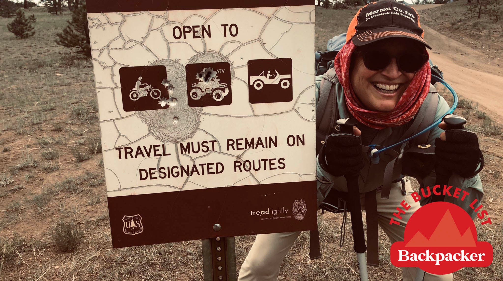
Navigating a cross-country route like the one Wood had in mind would require more than just downloading a GPS track or punching her destination into Google Maps. To start, Wood outlined the big picture with 1:100,000 scale BLM paper maps.
“I needed 14 of those to cover the diagonal across Colorado,” Wood explained. “I would take a given BLM map, draw my red line across it, and start looking for public lands where I could camp, and roads that I could walk,” Wood says. Most of the way, hiking a direct diagonal wasn’t practical; instead, she followed a zig-zag along north-south and east-west roads.
Luckily, the language of navigation is second-nature to Wood; “Maps fit my mind,” she proudly affirms.
ADVERTISEMENT
Wood’s love affair with maps started at age 12, when she found a hunk of fossilized bone poking out of the ground at a family friend’s ranch in the northwest corner of Colorado. After digging up the area by herself for the next three years, she brought her finds to Denver Museum of Nature and Science paleontologist Don Lindsey, who returned to the site to excavate it with her. Wood’s find, as it turned out, was one of the most well-preserved allosaurus skeletons ever discovered. During the dig, she learned to read topographic maps, a skill she’d return to on subsequent outdoor adventures.

On May 11, 2020, Wood shouldered Matilda, her Gregory backpack, and set off from Colorado’s tumbleweed-sprinkled southeast corner. Her first challenge was a legal and social one: The surrounding plains were full of private ranches, with no public access available. If she hadn’t been able to secure permission to hike across, Wood says, she would have had to hike out of the state and into Oklahoma to circumvent the area. With the help of Colorado Parks and Wildlife and a local real estate agent, she managed to get ahold of one rancher who agreed to let her hike through his land and even offered to cook her breakfast.
To make resupplying easier, Wood used “Bessie,” her Toyota 4Runner, as a kind of mobile base. Throughout her trip, she’d park the car 3 days’ hike ahead, then catch a ride with a friend to the day’s starting point to start walking.
ADVERTISEMENT
There weren’t any water sources along her way through the plains, and as a result Wood cached water for the first 300 miles of the trip. It was a reliable strategy, until she arrived at a wildlife area near the town of La Junta to discover that someone had taken her water. The relationships she had formed with the local wildlife officers saved her.
“[One of the officers] told me if I had any trouble to give him a call,” Wood says. Within ten minutes of dialing him, help was on the way.
Camping, too, was difficult on the plains. At one point, she posted up at a motel in the town of Springfield, enlisting a local mechanic to help her: The pair would drop her car at the end of the day’s planned route, and then ride together to her starting point. Every night, she’d return to Springfield again. “We would drive together, leave my 4Runner, and then he would drop me off at my starting point for the day. I hike to the 4Runner, go back to Springfield, and then do it again,” recalls Wood.
Wood credits her success on the plains to her teenage summers and weekends spent on a ranch 50 miles outside of Colorado Springs.
ADVERTISEMENT
“There is a certain pattern of communication with rural people, and talking cowboy banter growing up helped,” Wood says. She acknowledges that her privilege and “conventional look” didn’t hurt either: “Having body piercings or anything that indicated that [she] might not fit in” might have hindered her progress.
The Challenges Along the Way
With the plains behind her, Wood entered the Front Range in Colorado Springs, tracing the Fountain Creek Corridor through downtown and on to Manitou Springs, the town that sits at the base of Pikes Peak.
Wood’s entry into Colorado Springs marked the beginning of 250 miles of mountainous travel, with plentiful water but challenging terrain: While Wood only gained a total of about 4,000 feet of elevation on her walk through the plains, the mountains would bring almost 35,000 more. Instead of hiking Pikes Peak with a large pack and spending multiple days above treeline, Wood’s planned route skirted the mountain, laboriously picking her way around privately owned subdivisions.
ADVERTISEMENT
As she pushed through the Rockies, Wood relied on her compass and her dozens of maps. Overall, she found BLM maps best for overall trip and route planning and National Geographic best for traveling established trails. Any time she planned to walk a road she used paper road atlases, in particular Benchmark’s Colorado Road and Recreation. On her phone, Wood used Gaia GPS. Most nights, she tent camped or, occasionally, slept in her car. Once a week during her hotel stops, she’d use wifi to download new topo maps to her phone.
Even the most current maps, however, sometimes didn’t tell her the whole story. One of the trails on the far side of Castle Peak, marked on the maps as an established and clear path, was mottled with deadfall she was forced to cross to get to a water source. An even bigger challenge was that her maps occasionally led her to trails that no longer existed, something Wood said happened most often on routes established by the Bureau of Land Management, which doesn’t have the recreation budget of state or national forest-administered land.
The mountains eased up during the last 170 miles. As Wood approached the finish line, she crossed the Colorado Plateau, the Wyoming basin, and acres upon acres of sagebrush steppe. A thoroughly delightful journey through the Flattops, a steep descent into the town of Maybell, and then a fairly flat and easy last few miles led her to the finish line in the northwest corner on August 18. Over 65 days on the trail, she had hiked 732 miles and gained 50,300 vertical feet—Everest and Denali put together.
ADVERTISEMENT
Now home in Boulder, Wood says that while her transect drew deeply on her navigational and wayfinding skills, she owes even more to the relationships and conversations with the locals she had along the way.
“Local people know what trails are maintained, they know better ways to go, good places to camp, where the water is good or not,” Wood says. When it comes to maps, she says,“you’ve got print, digital, and people. And people are the most important.”