Published August 25, 2021 02:10PM
Is Technology Ruining the Backcountry Experience?
Electronics can make our hikes easier and more safe. But we may have gone too far.
(Photo: Anupong Sakoolchai / Moment via Getty)
Hiking isn’t just a hobby—it’s a lifestyle. Maggie Slepian tackles the hiking life—and all of the joys, problems, arguments, and weird quirks that go along with it—in her column.
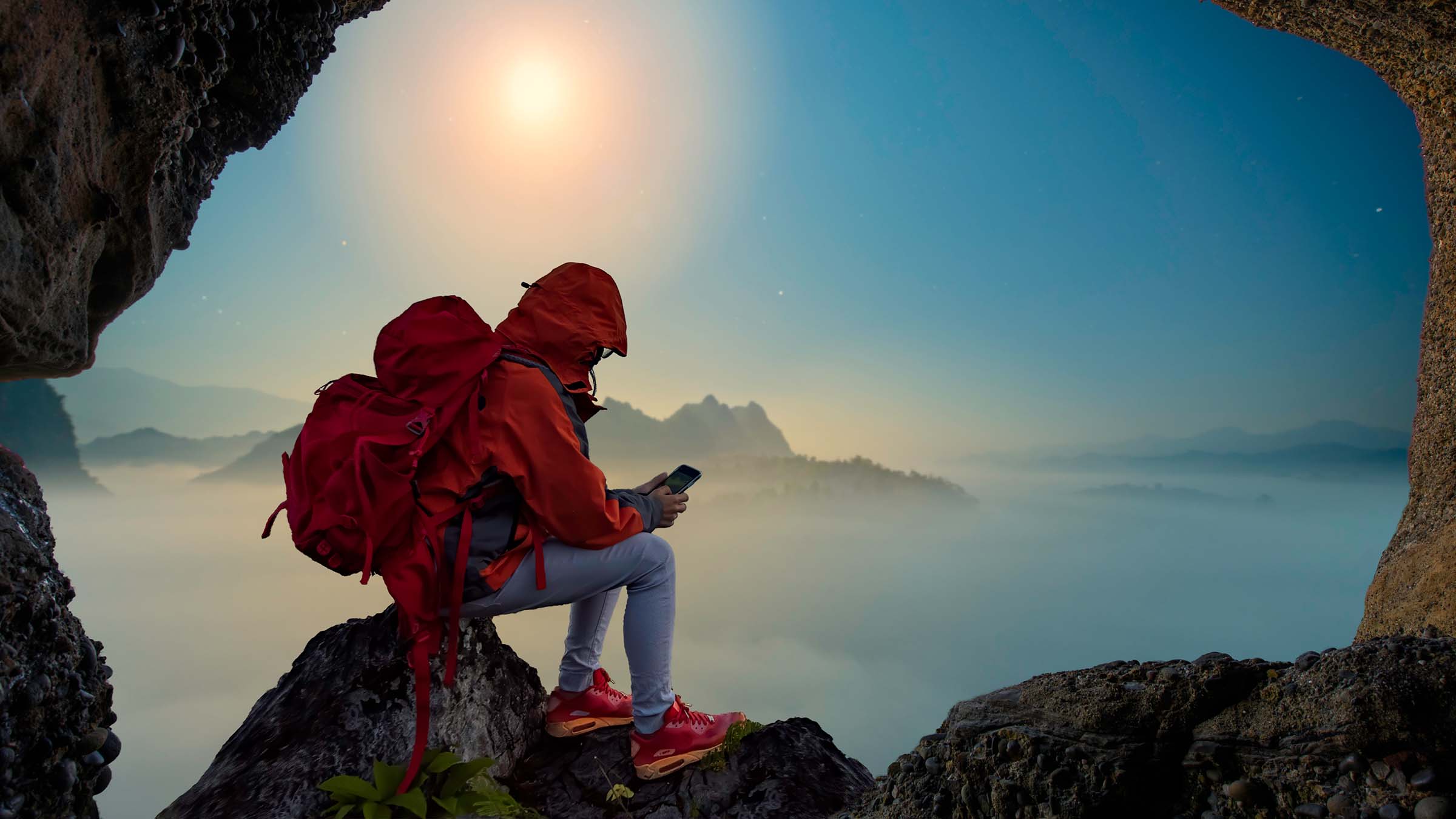
It was late in the day when I came to the junction in the trail. I was somewhere in the Collegiate West section of the Colorado Trail, and taking the turn would supposedly let me avoid a steep, rocky four-wheel-drive road. My instincts told me to take the reroute—it looked better than the gravel I’d been walking on—but I still pulled out my phone to check Guthook.
The app’s tracker told me to continue on the loose, rough road. I waffled. I checked Guthook user comments for the location. One note said the reroute was new and reconnected at a lake below the next pass. Another said it was much better than the road, and there were water sources. It should have been a no-brainer, but I stood staring at my little icon on the phone screen. If I took this reroute, I wouldn’t be on the Guthook track anymore. What if I took a wrong turn? What if it didn’t reconnect? At the same time, the fact that I even hesitated made me cringe. Was I really this dependent on the app? The answer was yes—I was completely habituated to (and comforted by) seeing my location clearly during my thru-hike.
Relying on an app is helpful to keep people on route and provide important trail information, but blindly following it can put thru-hikers, backpackers, and day hikers in danger. The New York Times published a piece this summer about hikers who follow Google Maps routes up trails far beyond their capabilities, keeping their nose to their phones instead of maintaining a safe sense of awareness of their immediate surroundings. The consequences can be serious, ending in injuries, rescue, or even worse.
I’m not a new backpacker, but I’ve been seeing a growing attachment to apps and comfort in knowing where I am on a digital trail overlay. It’s one less (major) thing to worry about. Hiking the Colorado Trail was somewhat of a last-minute decision, and one of the only reasons I was able to pull it off was because it is featured on Guthook, a user-friendly navigation app that’s popular among thru-hikers. Not only did I trust the app’s accuracy to point me in the right direction, it would tell me the distance to my next water source, where I was on the elevation profile, and let me see user comments about tent sites, water flow, and hitching beta. Occasionally, it would fill me in on reroutes like these.
I did take the reroute, and when I rejoined the original trail the next morning, I chatted with a few hikers I’d seen the day before. I asked if they’d taken the reroute, and they told me no, Guthook had kept them on the four-wheel-drive road. They also said it sucked. They had spent their evening on a hot, steep climb on loose rocks. It wasn’t scenic, and they wished they’d ignored the app and followed the actual trail signs. In contrast, the reroute I took had switchbacked smoothly through fields of wildflowers under the cool cover of trees.
Yet I had still hesitated. While Guthook was highly reliable, there were a few instances where it hadn’t updated reroutes, which made me realize how much I ceded decisions to my phone screen instead of looking around and figuring things out with, you know, my brain. Even without an app, the Colorado Trail requires almost no navigation. It has plentiful signage and a clearly defined path. If I was this accustomed to having my hike dictated via an app, what did that mean for other trails that weren’t so navigable, and weren’t on GPS apps?
I’ve gone low-tech on other trails: Like most hikers during my 2015 AT hike, I carried a hard copy of AWOL’s AT Guide. I used the elevation profiles and maps to gauge water sources, shelters, and town stops. I learned my hiking pace enough to know almost exactly where I was on the overview, and while I wasn’t actually reading a map, I was utilizing more brain power than tapping a screen to see my exact location.
But ease and convenience can be addictive, and despite my discomfort with my dependence on Guthook, I still used it all the time. 800 feet to the top of this climb, 1.3 miles to the next water with a 400-foot ascent. Comments say the next creek is flowing. 12 miles until my target campsite, mostly downhill. I could access whatever metric I wanted with a tap of my finger. My 14-ounce battery pack was one of the heaviest items in my pack, but I needed a lot of phone charges because I knew how much I would use Guthook.
This may say more about me than any of the apps. Guthook, just like Gaia, AllTrails, and OnX, have created sleek and useful interfaces that take some of the work (and guesswork) out of everything from dayhikes to thru-hikes. I appreciate that they exist, and they’ve removed one more barrier to entry for many new backcountry adventures. [Editor’s note: Gaia and Backpacker are both owned by the same parent company, Outside.]
It is easy to lose that mental muscle when an app is handing you that information, so I’m trying to dedicate myself to finding my own way.
But while satellite technology adds a safety net when venturing out of cell service, there’s anecdotal evidence that it can make us less prepared. We know we have a backup plan in the form of a map locator or even an SOS button. It creates an added layer of protection in the form of a downloaded, GPS-enabled trail app, but conditions can change, and relying on a fragile piece of technology with finite battery life has obvious pitfalls.
Once we get used to that safety net, having to go without it can be nerve-wracking. On my Colorado Trail thru-hike, I felt cut adrift whenever I took an alternate or climbed a 14’er that wasn’t on Guthook. I didn’t have enough space on my phone for the topo layers to download offline, so while I had the trail and elevation profile downloaded, my icon was just a floating dot on the screen when I wasn’t directly on the trail. I wasn’t able to fully relax until my icon was back on the trail. Despite an easy-to-follow path with good signage, hiking without the app felt like hiking blind.
This made me realize how important it is that my next hike doesn’t have every stat and GPS locator immediately available. I’m fairly comfortable with a map and compass, and when my nose isn’t buried in my phone, I can observe, read the landscape, and use common sense. It is easy to lose that mental muscle when an app is handing you that information, so I’m trying to dedicate myself to finding my own way.
As I’ve said, technology has its place: It makes trails more accessible and safer. But I also believe it’s important to be aware of your own dependence as apps continue to become more widespread with more routes available. If it matters to you, find ways to work around this by training your non-tech habits and seeking out trails that help you practice navigation. Or maybe, just for one day, turn your phone off.