Tanner-Escalante Loop, Grand Canyon National Park, AZ

'Heather Dorn, wife of BACKPACKER's editor in chief, gets schooled at Lipan Point at the start of the hike. This is the Tanner trailhead, a rugged…'
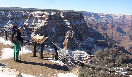
Heather Dorn, wife of BACKPACKER’s editor in chief, gets schooled at Lipan Point at the start of the hike. This is the Tanner trailhead, a rugged path off the main corridor that sees very little winter traffic.
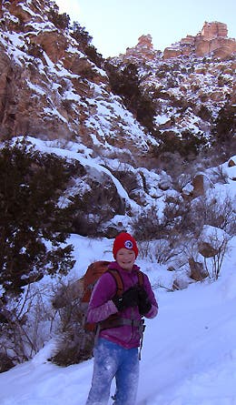
Just three days before our hike, a storm had dumped 20 inches of snow on the park. The steep, north-facing slopes of the South Rim see little sun in the winter, as Hadley, 12, discovered while slogging through waist-deep drifts in the first half-mile.

Approximately 1,000 feet below the trailhead (Lipan Point, at about 7,400 feet), the very steep cant of the Tanner Trail eases a bit, sloping into a broader part of the Canyon where the snow level rapidly decreased to inches rather than feet.

Snow in the Grand Canyon is a photographer’s dream, creating opportunities for dramatic backdrops and color combinations.

Our first view of the Colorado River snaking through the bottom of the Canyon, still 3,000 feet below us. The Tanner Trail ends near the right-most part of the horseshoe bend in the river; we reached a designated campsite there just after dark.
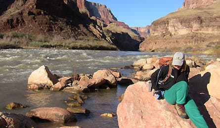
Heather warms up in the sun next to the Colorado River. Nighttime temps dipped below freezing; daytime highs neared 60.
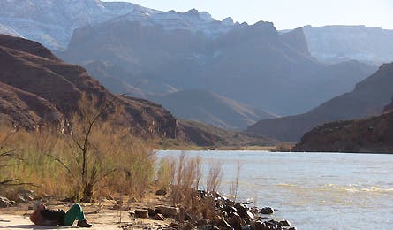
Now’s she napping. This was our “easy” day, with only a 5-mile roundtrip dayhike out-and-back from our camp at the bottom of the Tanner Trail up the Beamer Trail to this set of rapids just below the confluence of the Little Colorado River.
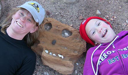
Rock art, courtesy of several billion years of erosion and some creative pebble placement.
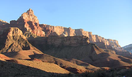
Sunset comes early–and dramatically–in winter. This image was shot at about 4 p.m. along the Beamer Trail.
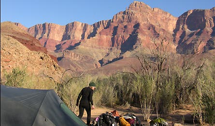
Our camp just up-river from Tanner Rapids. The biggest wildlife hazard in the Grand Canyon are certainly the mice, which scurried over, around, and through our tent all night in search of food. Bring rodent-proof food containers to protect your grub!
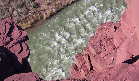
The head-spinning view of Tanner Rapids from an overlook just off the trail. This image was taken on the morning of our third day. I crawled to the edge of the cliff, extended my arm over the 400-foot drop, and snapped away.

More rock art, conveniently visible to mark a pathway that can get faint where it crosses long stretches of monochromatic desert gravel.
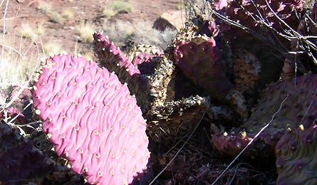
Pink cactus!
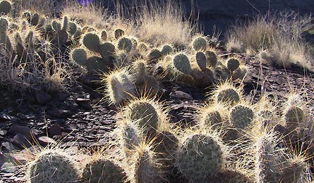
In the soft light of late afternoon, these cacti look much more innocent than they really are. I had one needle pierce the toe of my leather boot when–walking with a video camera pinned to my face–I inadvertently blundered a foot off the trail.
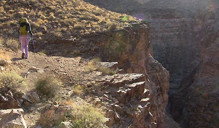
The most interesting/difficult part of this route is not the climbing in and out of the canyon. It’s the Escalante Route, an unmaintained singletrack that threads a very rugged course past several deep side canyons between Tanner and New Hance Rapids.
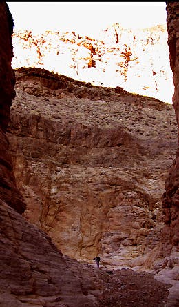
The bottom of the cliff directly beneath the previous picture. The Escalante Route had to detour almost a mile away from the river until this ravine offered a safe place to descend.
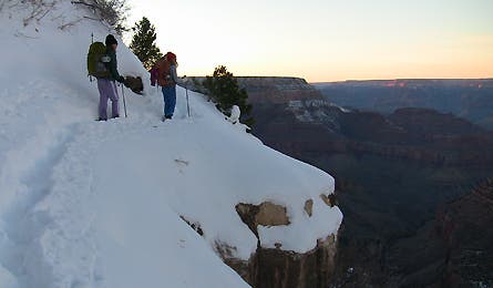
Our final day: 12 miles and almost 5,000 feet of climbing from New Hance Rapids to Grandview Point via Horseshoe Mesa. Starting just after dawn, we reached the snowy upper reaches at dusk. Ahead of me, Abby and Hadley peer back down into the canyon.
For a full route description, interactive map, and GPS downloads for this route click here.