Published May 1, 2000 12:00AM
Running With Mustangs In Montana's Pryor Mountains
Montana: The Pryor Mountains harbor the nation's last free-roaming wild mustangs, not to mention wilderness that is as wild as the horses.
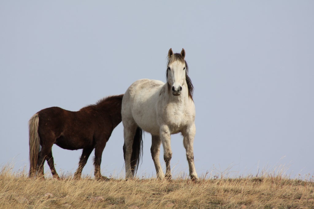
'Horses in Montana (Photo by Jerry Keenan)'
Picture yourself on a mountain slope in Big Sky Country, a day of travel under your boots. Suddenly a herd of wild horses gallops across the horizon, manes and tails flying and all of them frisky with spring fever. Sound like a scene from a Hollywood western? Guess again. It’s just another day in
the Pryor Mountains in southeastern Montana, where the nation’s last free-roaming wild mustangs with Spanish blood thunder across the plains and high meadows.
In the Pryors, the wilderness is as wild as the horses. The same rugged topography that isolated and preserved the mustangs’ bloodline serves up 38,000 acres of challenging hiking terrain. The best bet, both for finding snow-free hiking in spring and seeing wild horses, is to head for the rugged southern part of the range. Start walking from the end of Crooked Creek Road, across miles of open country along Sykes Ridge and Burnt Timber Ridge (between 7,500 and 9,000 feet in elevation). From the high meadows, drop into Big Coulee Canyon, a narrow slot on the western edge of the wild horse range. Along the way, you might come face to muzzle with America’s wildest horses.
ADVERTISEMENT
Most trails aren’t maintained and there are no guidebooks to the area.
The Pryor Mountains are managed with a light rein and visited by few, a throwback to the days before hiking permits and designated campsites. Just follow the sound of thundering hooves. And don’t be surprised if you feel a little wild yourself.
Getting There:
From Lovell, Wyoming, drive north on WY 37 roughly 15 miles, then turn east on Crooked Creek Road. Follow it past the wild horse facility, and park where the road turns to a two-rut trail.
Prime Time:
May, June.
Guides:
BLM map #36 (406-896-5000; $4).
Contact:
Bureau of Land Management, (406) 896-5000. Custer National Forest, (406) 657-6200; www.fs.fed.us/r1/custer.