Updated December 3, 2024 03:38PM
Readers' Choice Northeast Hikes: Maine's 100-Mile Wilderness
Explore the Appalachian Trail's wildest stretch.
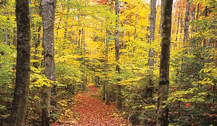
'Maine's 100-Mile Wilderness (William Adams Collins)'
“The name alone has such a wild, inspiring, and inviting feel,” Adams says. “And the fact that we East Coasters have a substantial chunk of rugged, uncrossed trail is amazing. We should all see that as an invitation.” The extra-burly route stretches from ME 15 in Monson to Abol Bridge in Baxter State Park. Go from south to north and tack on a 14-mile climb of 5,268-foot Katahdin, Maine’s highest point. On the route, you’ll pass through tunnels of tight pines hiding moose, mirror-calm ponds, berry bogs, rushing streams, and craggy ridges with stay-awhile views. Go in late summer to avoid bugs and enjoy tales from thru-hikers. Allow nine to 12 days.
PLAN IT
Driving Southern end: From Monson, take Shirley-Blanchard Rd. to the AT. Northern end: Baxter SP’s Abol Bridge Campground (closed after Sept. 30), 20 miles north of Millinocket
Map and guideAppalachian Trail Guide to Maine ($25, atctrailstore.org, includes maps)
Contact (304) 535-6331, matc.org
Trip ID542144