How To Hike In The Penokee Mountains: The Alps Of Wisconsin

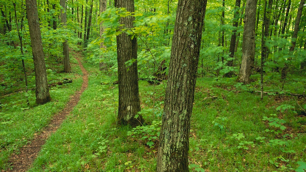
North Country Trail in Wisconsin (Photo: Richard Hamilton Smith via Getty Images)
Wisconsin’s Penokee Mountains may be a shadow of their former selves-they once rivaled the present-day Alps-but these rugged hills within sight of Lake Superior still manage to inspire awe. Clad in timber, furrowed by whitewater rivers, and sprawling across 100 square miles of public forest, the Penokees might be the best-kept secret in the Wisconsin mountains.
This is snow country and many trails, like the Penokee Mountain Trail west of Mellen, are laid out in a series of loops with cross-country skiers in mind. Loops of 2, 3, and 5 miles can be combined into a hike that courses over granite ledges and down narrow chasms, all the while sheltered by a hemlock forest. Or hook up with a 40-mile section of the North Country Trail and follow it as far as your legs are willing. Fish for trout, search for agates, or take a dip in any of the lakes and streams along the way.
My favorite spot in the Wisconsin mountains is east of Wren Falls on a section of the North Country Trail near Upson Lake. As in much of the Penokees, wildlife is abundant here, the views stretch across unbroken timber, and silence presses in from every side. In spring, this area gleams white with snowy trillium, making it an unforgettable sight.
Upson Lake is also the staging ground for a number of other hikes, including a 1-mile sidetrack to Corrigan’s Lookout, a granite knob that offers one of the biggest and best views in Wisconsin, if not the entire midwest. From the lookout, the North Country Trail travels east 12 miles, climbing up, down, and around rocky formations that rise like otherworldly monoliths, including the geological wonder Balanced Rock. Below Whitecap Mountain, you’ll connect with the 19-mile Uller Trail, which travels the most remote and rugged part of the Penokees. By combining the Uller with ski trails and abandoned logging roads, you can plan a hike that will last from a few days to an entire summer.
Penokees: The Best Of The Wisconsin Mountains
DRIVE TIME: The Penokee Mountains are 400 miles (8 hours) north of Chicago and 250 miles (5 hours) east of Minneapolis.
THE WAY: To reach the trailhead for the Penokee Hiking Trail, travel north on WI 13 from the intersection with US 8 in Prentice. At Mellen, exit west (left) onto Hwy. GG and follow the signs to the Penokee Hiking Trail. Trailheads for the North Country and Uller Trails are on WI 122 and are well marked.
TRAILS: Two lengthy sections of the North Country Trail (NCT) form the hiking backbone of the Penokees. West of Mellen, the NCT links with the Penokee Mountains Hiking Trail for weekend-size trips. East of Mellen, the NCT is rough, remote, and occasionally difficult to follow. It connects with the 19-mile Uller Trail to offer extensive hiking.
ELEVATION: At 1,872 feet, Mt. Whittlesey is the highest point in the Penokees.
CROWD CONTROL: Encounters with other hikers are rare, especially when you’re away from state parks.
WALK SOFTLY: The Penokees host a healthy bear population, so keep a clean camp and hang food.