Panoramas of the Appalachian Trail

Mount Katahdin in Baxter State Park (GPS: 45° 50.247, -68° 57.657)
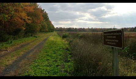
Railroad tracks near the New Jersey-New York border (GPS: 41° 16.555, -74° 31.695)
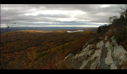
Views from Kittatinny Ridge (GPS: 41° 02.366, -74° 59.111)
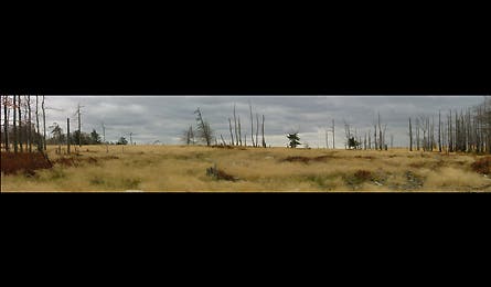
Blue Mountain (GPS: 40° 48.251, -75° 33.445)

The view from Dans Pulpit (GPS: 40° 39.491, -75° 56.735)

Farmland outside of Harrisburg (GPS: 40° 11.676, -77° 06.432)
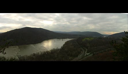
The Potomac River flows through Harpers Ferry NHP (GPS: 39° 19.931, -77° 40.592)
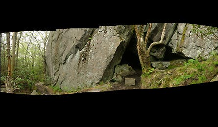
A rock cave on Pine Mountain (GPS: 36° 39.157, -81° 31.031)
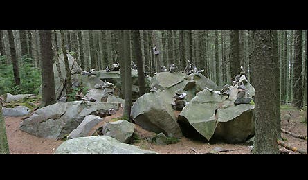
A cluster of cairns south of Rutland, Vermont (GPS: 43° 25.905, -72° 56.565)

Ethan Pond in White Mountain NF (GPS: 44° 10.611, -71° 25.648)
Click on the below coordinates to see a trail profile.