Published July 9, 2009 04:32PM
Hike It, Save It: Chestnut Ridge and Tracy Ridge, Pennsylvania
Oil drilling and vacation homes threaten on of the last Chestnut tree bastions, a 5,191-acre proposed Wilderness Area in the Allegheny National Forest.
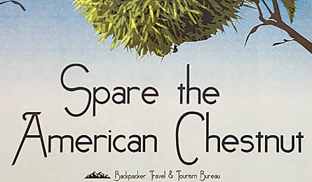
'(Illustration by Jackie McCaffrey)'
The Details Until the mid-20th century, an estimated 4 billion American chestnut trees stretched from southern New England to northern Mississippi. Then a non-native fungus called chestnut blight nearly wiped them all out. One of the trees’ last stands is the aptly named Chestnut Ridge in north-central Pennsylvania, a 5,191-acre proposed Wilderness Area in the Allegheny National Forest. With access to the subsurface mineral rights, U.S. Energy Development Corporation and Atlas Energy Resources, LLC flagged the area for development in 2005. Friends of the Allegheny point-man Kirk Johnson says, “Between preserving these trees and [drilling] gas wells that promise little fuel, it’s an easy call.” Across from Chestnut Ridge lies Tracy Ridge, which, at 9,705 acres, is the largest unprotected roadless area in Allegheny National Forest–developers see an ideal golf resort.
The Hike “Chestnut is completely trail-free, and Tracy has a network of 34 miles of trails,” says Johnson. Explore the best of both places on a 17-mile loop linking use trails, drainages, and the North Country National Scenic Trail. From the Sugar Run parking area, pick up the faint trout-angler path along the stream’s north bank. Push northeast three miles to another stream, Indian Run, and follow its east bank northward. The forest begins to thin out as black birch and hemlocks give way to more of the area’s namesake trees. Two miles from Sugar Run, plunk down at a relative high point, a plateau at about 2,200 feet. You’ll likely have the quiet forest to yourself, but at your feet the flagged surveying stakes–signifying potential drill sites–indicate that it might not always be this peaceful. The next day, head about a mile west on the gentle ridge, along the fading remnants of an old fire road, and hop across Route 321 to the Tracy Ridge campground (where a conventional trail awaits). Hike five miles west on the Tracy Ridge Trail to the NCT. Turn south to camp lakeside on the Allegheny Reservoir, near what some see as a fine place to play a round. From here, it’s 3.5 miles to reach your car the next day. fs.fed.us/r9/forests/allegheny
The Champion Friends of the Allegheny Wilderness (pawild.org) has spearheaded the efforts to protect Chestnut and Tracy Ridges.
The Way To reach the Sugar Run parking lot from Bradford, go south five miles on US 219, west 6.8 miles on PA 770, right 1.3 miles on PA 59, and seven miles south on PA 321.