Grand Canyon Treasure Map: Hard

'Royal Arch Loop'
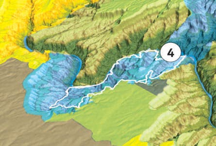
Royal Arch Loop
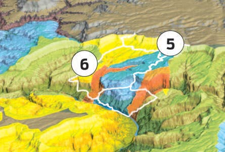
Thunder River-Deer Creek Loop and Deer Creek via Cranberry Route.
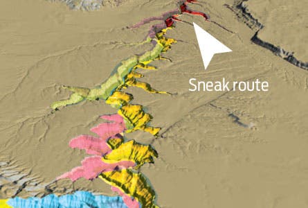
Sneak route.
Drive-up solitude.
No man’s land.
EASY | MODERATE | HARD
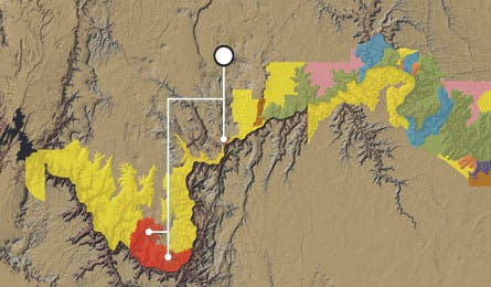
4. Hard Royal Arch Loop (Primitive Zone) Link canyons, waterfalls, and the park’s largest natural rock bridge on this 34-mile loop. Carry water for the first two days, and pack a rope and climbing gear for ascending a 20-foot rock wall, the technical crux of the trip. Trip ID: 351342
5. Hard Thunder River-Deer Creek Loop (Threshold, Primitive Zones) Some routefinding guarantees you North Rim solitude, which makes the swimming holes and 180-foot waterfall on this 21-miler all the sweeter.
6. Expert Deer Creek Loop via Cranberry Route (Threshold, Primitive, Wild Zones) This 23.8-mile route is seriously hard—with routefinding and technical scrambling—and seriously rewarding. Get details at on our interactive flash map.
Sneak route It’s only 2.5 miles to the Colorado River via steep, rugged Salt Water Wash
(SH9), but you need backcountry permits from both the park and the Navajo Nation.
Drive-up solitude Navigate 60 miles of dirt roads to Tuweap Campground (LI9), a free primitive site. Pitch your tent near sheer cliffs with a great sunset view, and descend 2,500 feet on a dayhike from Vulcans Throne to Lava Falls, the Grand’s largest rapid.
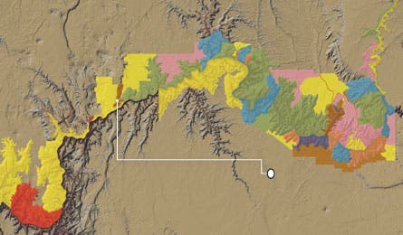
No man’s land Diamond Creek (Zone LG9), Separation (LH9), Whitmore (LI9): Little is known about these three zones—which had no campers in 2009—says backcountry ranger Steve Sullivan. Why? They’re extremely difficult to access (100 miles of unmarked dirt roads), and they lack hiking trails.