Devil's Path, Catskills State Park, NY

'James Clark (left), Jon Dorn, and a friend get an early start at the Prediger Road trailhead at the eastern end of the route.'
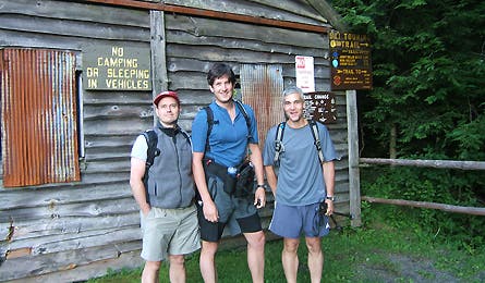
James Clark (left), Jon Dorn, and a friend get an early start at the Prediger Road trailhead at the eastern end of the route.
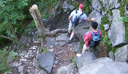
Sharp drops like this 12-foot downclimb abound, making grippy rubber soles and careful footing a must.
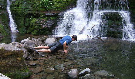
Depending on the season’s precipitation, the DP features several cascades and pools that provide welcome relief from the often–sweltering closeness of the forest.
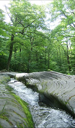
This polished channel–just wide and long enough to be a wilderness bathtub–reminded me of sandstone slots I’ve seen across the Southwest.
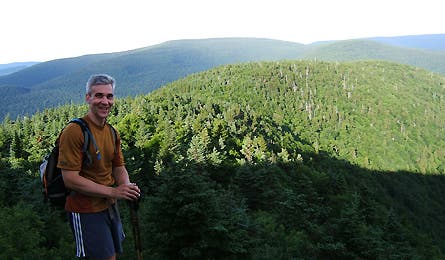
The high peaks of the Catskills are not high enough to be balds, unlike their cousins farther north in the Adirondacks (which you can see on a clear day). So the views, which come at outcroppings more than at summits, tend to be more pastoral.
For a full route description, interactive map, and GPS downloads for this route, click here.