Become a Member

Get access to more than 30 brands, premium video, exclusive content, events, mapping, and more.

Already have an account? Sign In

Become a Member

Get access to more than 30 brands, premium video, exclusive content, events, mapping, and more.

Already have an account? Sign In

Brands

Stories

AT Shelter Photo Gallery

A few of the shelters and lean-tos found along the length of the Appalachian Trail © Jeff Chow

Heading out the door? Read this article on the new Outside+ app available now on iOS devices for members! Download the app.


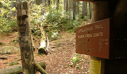
At shelter 1

Rainbow Stream Lean-To (GPS: 45° 47.942, -69° 10.217)
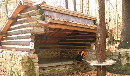
At shelter 2

Rausch Gap Shelter (GPS: 40° 29.924, -76° 36.011)
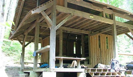
At shelter 3

Bryant Ridge Shelter (GPS: 37° 31.813, -79° 35.135)
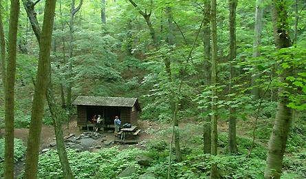
At shelter4

Harpers Creek Shelter (GPS: 37° 51.361, -79° 00.014)
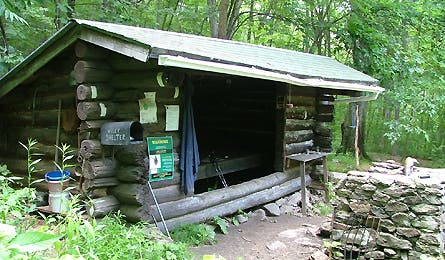
At shelter5

Wiley Shelter (GPS: 41° 38.264, -73° 31.950)
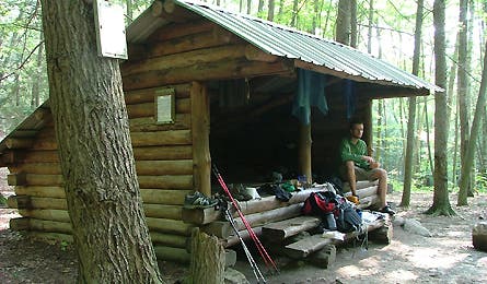
At shelter 6

Mount Algo Lean-To (GPS: (GPS: 41° 43.879, -73° 29.800)
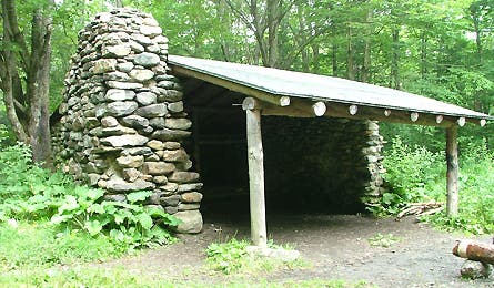
At shelter 7

Governor Clement Shelter (GPS: (GPS: 43° 33.889, -72 50.899)
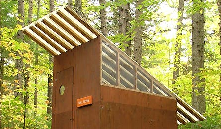
At shelter 8

Privy near Cooper Brook (GPS: 45° 38.444, -69° 05.257)
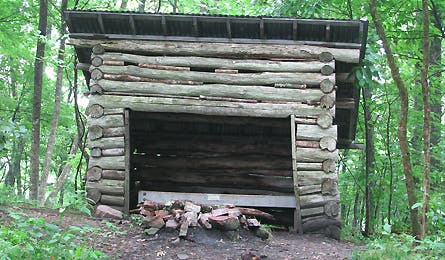
At shelter 9

Holiday Inn Shelter (GPS: 36° 34.343, -81° 55.203)
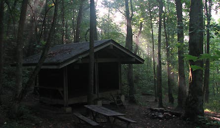
At shelter 10

Low Gap Shelter (GPS: 34° 46.58, -83° 49.485)
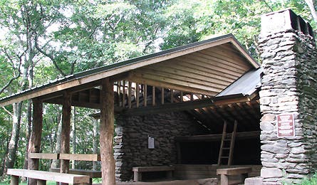
At shelter 11

Spence Field Shelter (GPS: GPS: 35° 33.718, -83° 43.959)

Click on the below coordinates to see a trail profile.

How to Pack for Backcountry Skiing

Get to know the winter safety gear you need in your pack.

Keywords: