Published October 22, 2008 06:41PM
Alaskan Labyrinth: Bushwacking in Denali
Beat your own path through Denali National Park's confounding and little-traveled
Wyoming Hills.
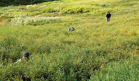
'Denali's dense foliage hides bears (Dave Schiefelbein).'
The Hike
Folded into the northeast corner of Denali is a clutch of nearly vertical 5,000-foot
emerald peaks called the Wyoming Hills. Here is one of America’s most epic and
empty trekking areas, a remote 33-square-mile jumble of rock and shrubland flanked
by the teal braids of the Toklat and East Fork Rivers. With valleys full of
caribou, dall sheep, moose, bears, and wolves–and a scant 18 visitors
per year–these hills practically guarantee more solitude than a monastery.
Rangers are stingy about issuing permits here (in park units 37 and 38) to anyone
with suspect navigational skills, so bring your A game. From the Polychrome
Rest Area on the Denali Park Road, hike north a dozen miles, following the East
Fork across a massive green valley with countless creek crossings. Once into
the hills, this horseshoe-shaped, trailless route eventually arcs west for roughly
15 miles, winding through deep valleys amid the tallest hills, to connect to
the Toklat, which you’ll follow south back to the Park Road. The deeper you
get into the four- to five-day route, the slower, trickier, and more gaze-worthy
it becomes.
The Crux
Navigation (in addition to crossing icy creeks and being griz-aware). Mt. McKinley,
an obvious navigational aid elsewhere in the park, falls out of view down in
the dales of the Wyoming Hills. Add fog or cloudy weather, and the mess of drainages
and alder-filled nooks and crannies become a massive labyrinth.
The Key
Navigational “handrails.” Shannon Rochelle, a veteran Alaskan NOLS instructor,
says to think of the two main rivers (the most easily found landmarks on your
topo) as boundary lines–or handrails–and keep the East Fork on your
right (east) and the Toklat on your left (west). Once you launch into the hills,
routinely confirm your position before and after each tributary, drainage, or
landmark. In June and July, the sun is due south at about 2 p.m. (due west at
8 p.m., east at 8 a.m.). Escape route: If you get totally flummoxed, backtrack
to the Park Road (which bisects the park from east to west); it will always
be to your south.
The Way
Take the Park Road bus from the Visitor Center. Ask your driver to drop you
at the East Fork at the Polychrome Rest Area.
Plan It
nps.gov/dena/planyourvisit.
USGS quads: Mount McKinley C-1, Healy C-6