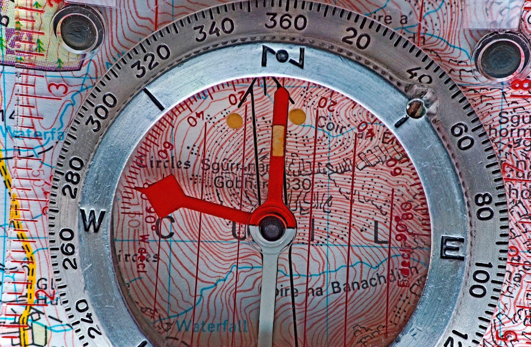
How to Use a Compass

'AJ Cann'

Take a bearing off the map
You want to travel from Peak A to Peak B. Lay the edge of the compass on the line between the two landmarks on the map, with the Direction of Travel arrow pointing from A to B. Turn the housing until the compass’s meridian lines are parallel to the map’s longitude lines. (Make sure the “N” on the housing points toward the top of the map.) The index mark indicates the true bearing—but not exactly the bearing you want to follow. To find that, you have one more step.
Correct for declination
The needle points to magnetic north, not true north, and they’re hundreds of miles apart. Since topographic maps are oriented to true north, you need to resolve this difference, called declination.
The fix: math. Subtract the declination from your compass bearing for west, and add it for east (the example above shows a declination of 12° east). Of course, everyone forgets this when it counts, so remember this mnemonic: Maps Tell Almost Everything. Translation: Magnetic to True Add East.
Yes, you can buy a compass with a “set and forget” declination function so you can skip the math for each bearing, but you should still understand how it works.
Use the right model
Historically, compasses were made for either the northern or southern hemisphere (with needles balanced to compensate for varying magnetic pull). Such location-specific models are still sold widely (they’re cheap and effective), but Brunton and Suunto now make global compasses with needles that work everywhere.
Avoid metal
Don’t spread the map on the car hood at the trailhead and then put your compass on the map. Metal interferes with the magnetic needle.
Find your location
Lost? If you can see two or more known landmarks separated by at least 45°, you can triangulate—zero in on—your position. Plot their bearings, and where they cross is your location. Don’t forget to correct for declination.
Follow a bearing
With the compass set to your intended direction of travel, hold it level and turn until the red or arrow end of the north-seeking needle (often called “red Fred” in compass class) is in the “red shed” on the housing. Now pick the most distant identifiable tree or landmark you can see that lies on your bearing and hike to it. Repeat.
Looking to improve your navigation skills? Sign up for Backpacker’s Basic Map and Compass Skills online course.