Published June 9, 2014 08:05PM
Montana USGS Maps Receive Digital Upgrade
You can make your own custom topo maps for free.
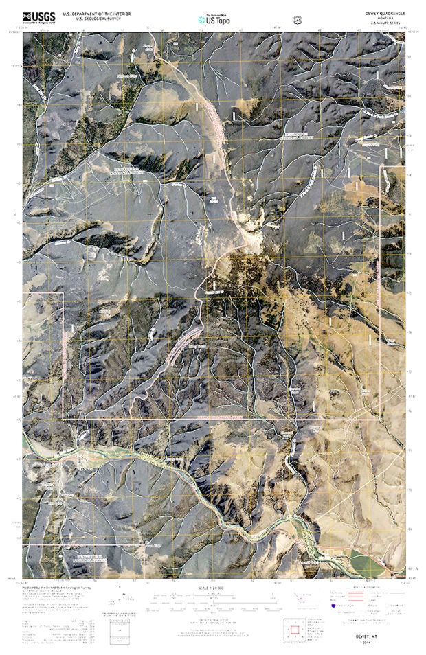
'image: USGS'
Montana’s official topographical maps are getting a digital facelift.
The Missoulian reports that the United States Geological Survey has released digital maps said to be as accurate as the hard-copy maps that hikers and hunters have been using for years. Users can go onto the U.S. Topo portal and create a customized map for any area in Montana by stitching together as many quadrants as they like.
Users may add or subtract various overlays, including terrain, roads, boundaries and structures. The downloadable maps can be viewed on a desktop, printed or downloaded to a smartphone.
Much like Wikipedia, the state’s digital maps are heavily dependent on crowdsourcing. When users see an error or change that needs to be made, they can submit a request and USGS will correct the mistake in it’s database.
Read more: Missoulian |USGS Map Downloader