Updated July 7, 2025 06:04PM
Boots and Saddle Trail: Soldier Creek Wilderness, NE
Spend a weekend exploring an unexpected Nebraska wilderness on this route from one of our Backpacker Field Scouts.
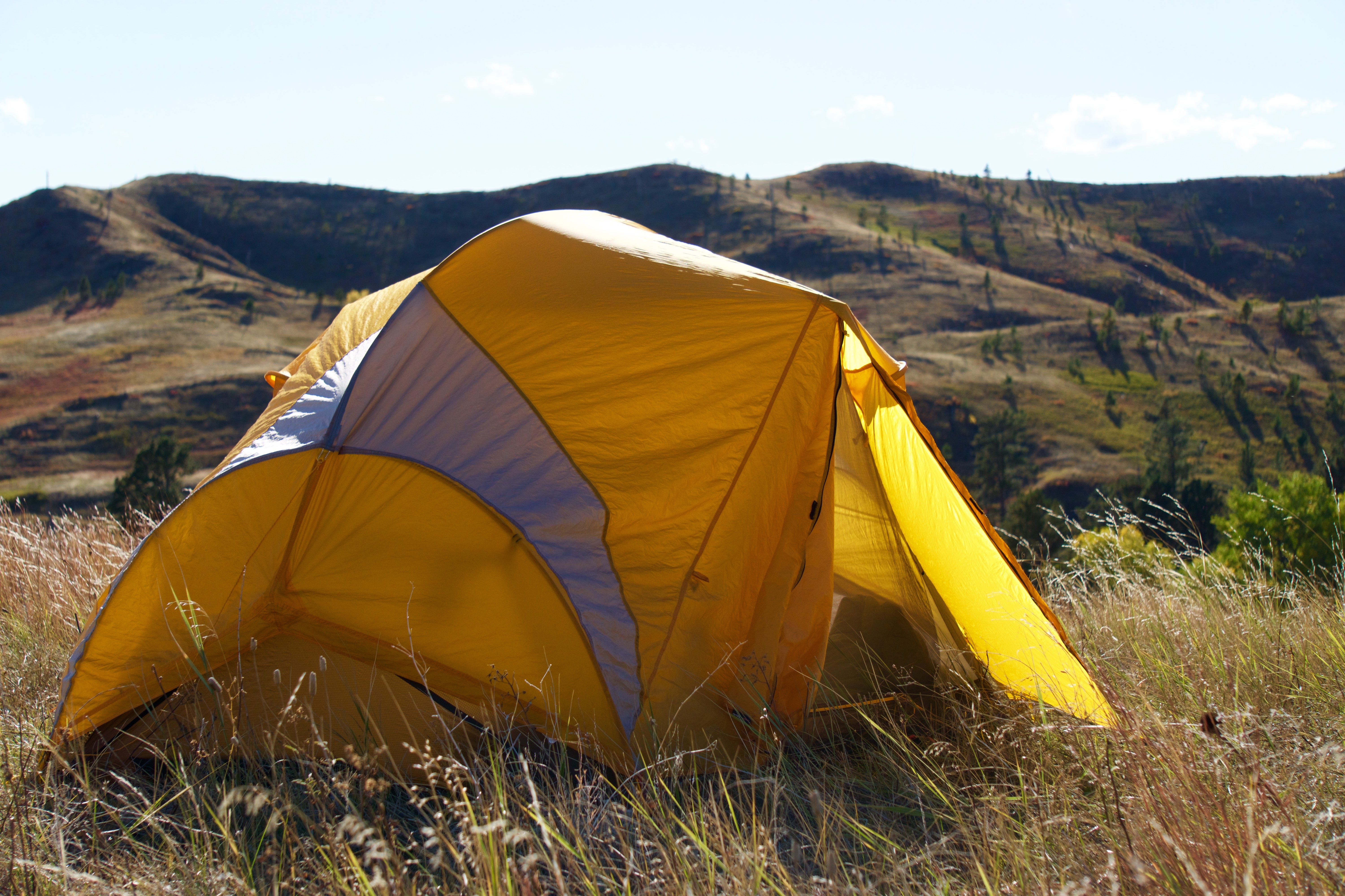
I thought Nebraska was supposed to be flat, I grumble between wheezing breaths, legs burning as I finally crest the ridgeline. Below me roll endless hills spotted with ponderosa pines and a streak of autumn cottonwoods in an eye-watering shade of yellow. I might still be in the Midwest, but the landscape feels more like the foothills of the Rockies. This hidden gem, though, doesn’t have nearly the crowds of the mountains out west. The views are definitely worth the burn.
Distance 9.5 miles
Difficulty 2/5
Rating 3/5
Duration 2 days
ADVERTISEMENT
Turn by Turn
From Soldier Creek Camping Area and Corral
1. From the trailhead, follow signage towards Boots and Saddle Trail, then stay with its white-painted trail markers.
2. In the first mile you’ll cross Soldier Creek five (yes, five) times. At the first crossing look to your left for a footbridge, but at the remaining four you’ll have to jump over or ford the creek (which is normally small and shallow).
3. At mile .8 follow the trail north out onto the prairie, continuing to follow the white-painted posts.
4. At mile 1.1 the trail crosses a small gully and then climbs to the top of a ridgeline. Follow the ridgeline for about a tenth of a mile and then head due north, heading back down the ridge again.
ADVERTISEMENT
5. Spend a mile winding through a series of water carved ravines and canyons.
6. At mile 2.8, step back out onto the open prairie and make camp on a grassy flat, or hike a little further to reach the shelter of the forest around the North Fork of Soldier Creek.
7. In the morning, break camp. The trail follows Soldier Creek northwest for a few hundred yards before departing from the creek to continue northwest back onto the prairie.
8. Continue on a northwest heading for another mile before cutting west (hikers left) briefly and then south (left again) into more canyons and ravines, eventually crossing the middle fork of Soldier Creek around mile 5.5
9. Continue heading south until mile 6.8, when you’ll ascend another ridgeline and follow it east for 2 miles.
10. At mile 8.9, turn north at the fork (hikers left) and wind .6 mile back to the trailhead.
Permit None Contact Soldier Creek Wilderness GPX Download


Find the route gpx here